Mountain summit
Ak-Too Peak
Elevation above sea level: 4,612 m
Elevation shown in the checked OpenStreetMap summit record; not a new survey. Other checked source values: 4620 m (The climbing classification table publishes this alternative; the discrepancy is unresolved.)
Ak-Too is a summit in the Ala-Archa mountain group. The historical guidebook used for the linked route catalogue identifies a technical line on its northern side.
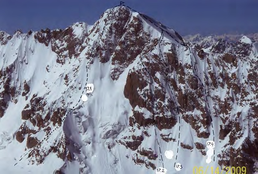 Photo: Vladimir A. Komissarov / Владимир А. Комиссаров · Copyright retained; published climbing guide photograph · Source · License
Ak-Too is a summit in the Ala-Archa mountain group. The historical guidebook used for the linked route catalogue identifies a technical line on its northern side. That is one particular climbing objective, rather than a description of every possible approach to the mountain. Travellers interested in the scenery can study the surrounding valleys, while prospective climbers need to identify the precise face and line they intend to attempt.
Before committing to an ascent, establish the complete approach, the intended descent and a turnaround decision that the whole party understands. Carry navigation that works offline and discuss recent snow, rock and visibility conditions with people who know the exact line. Match equipment and technical support to that line rather than to the peak name alone. A historical account can explain the terrain, but it cannot settle today’s passage or the party’s readiness. Allow time to reassess the objective once you see the mountain.
Geographical reference for the named summit; not a route line, verified entrance or current passage assessment.
Plan your visit
Getting there
Identify the complete mountain approach and return separately; this feature marker is not a vehicle-access confirmation.
When to visit
Choose dates after a current assessment of snow, weather and the specific approach; no guaranteed visiting season is established here.
Good to know
Confirm local access, opening arrangements and any entry rules before travel. Respect protected sites and local communities; leave the place as you found it.
Sights in and around Ak-Too Peak
Open each place for its description and visit details. Out-of-town stops require a separate journey.
Chuy Region
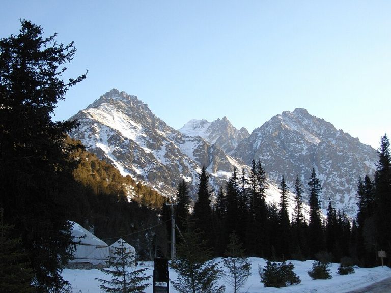
Ala-Archa National Park
Ala-Archa brings the high Tian Shan within reach of a day trip from Bishkek. The river valley leads from juniper-covered slopes towards rocky peaks, glaciers and increasingly demanding mountain paths.
Chuy Region
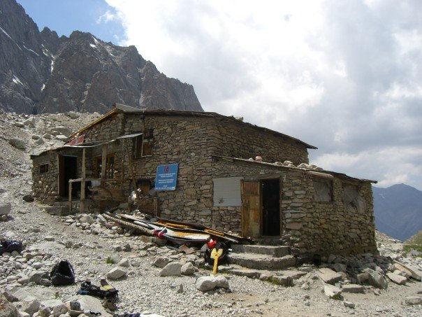
Ratsek Hut
Ratsek Hut is a mountain base in Ala-Archa, used as an orientation point in accounts of climbs around Uchitel and the neighbouring peaks.
Photo gallery
Location on the map
Location: Ak-Too Peak
42.5021885,74.5332926