Chuy Region
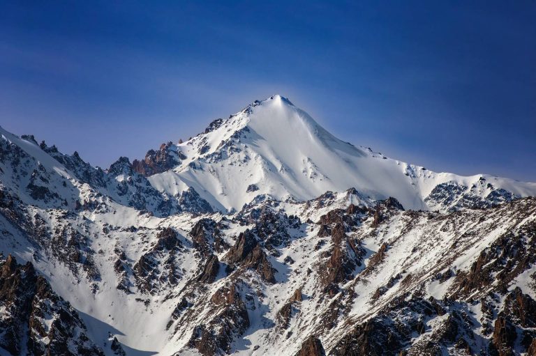
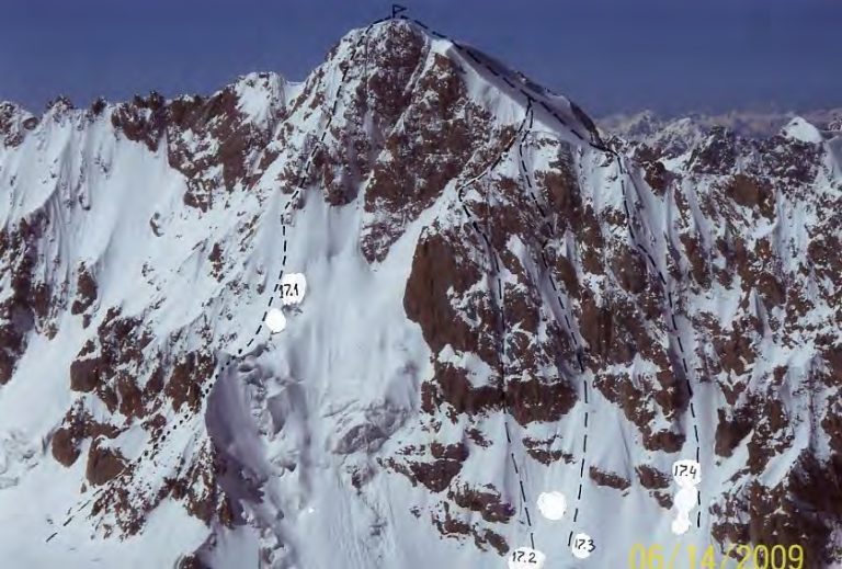
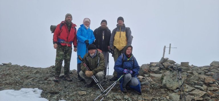
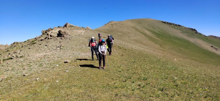
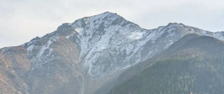
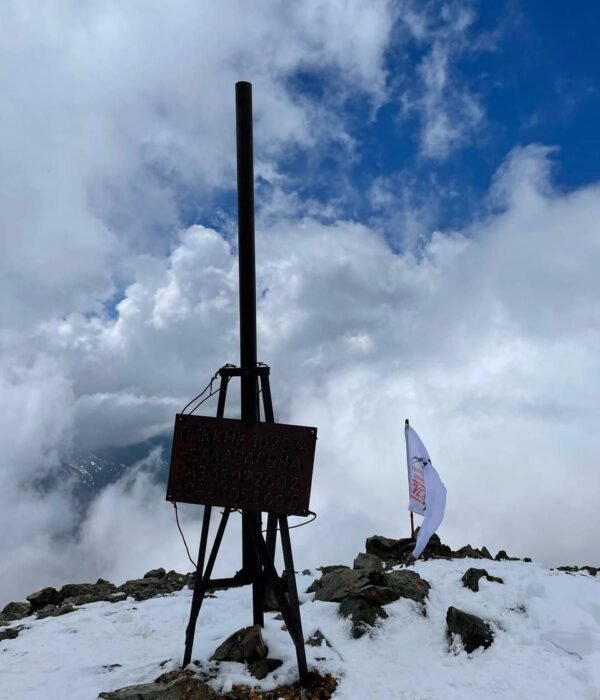
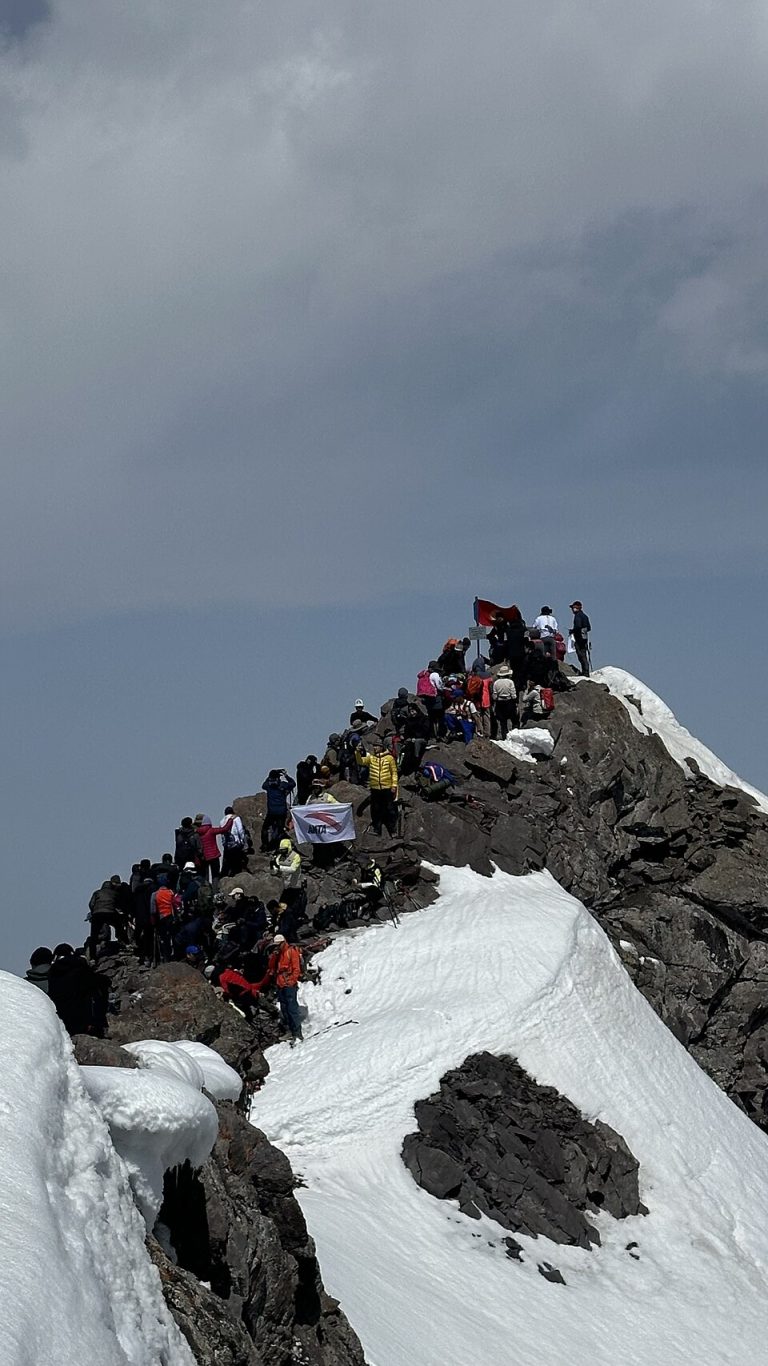
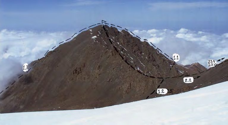
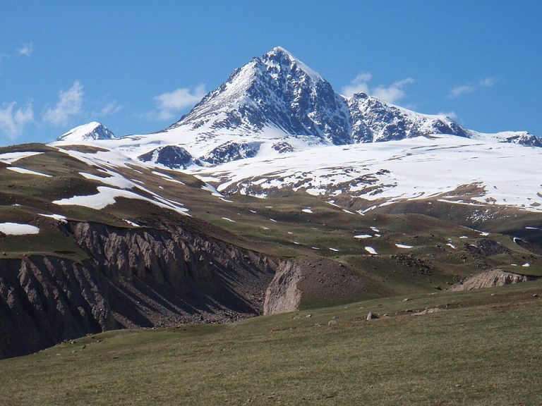
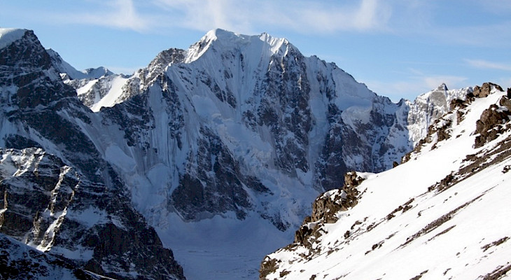
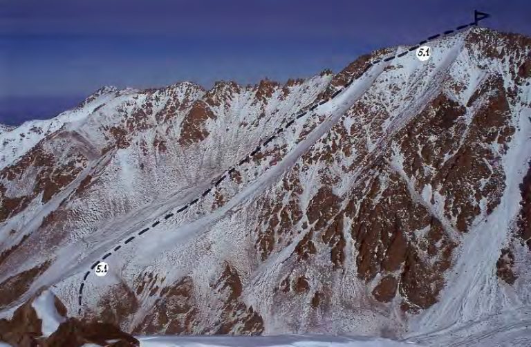
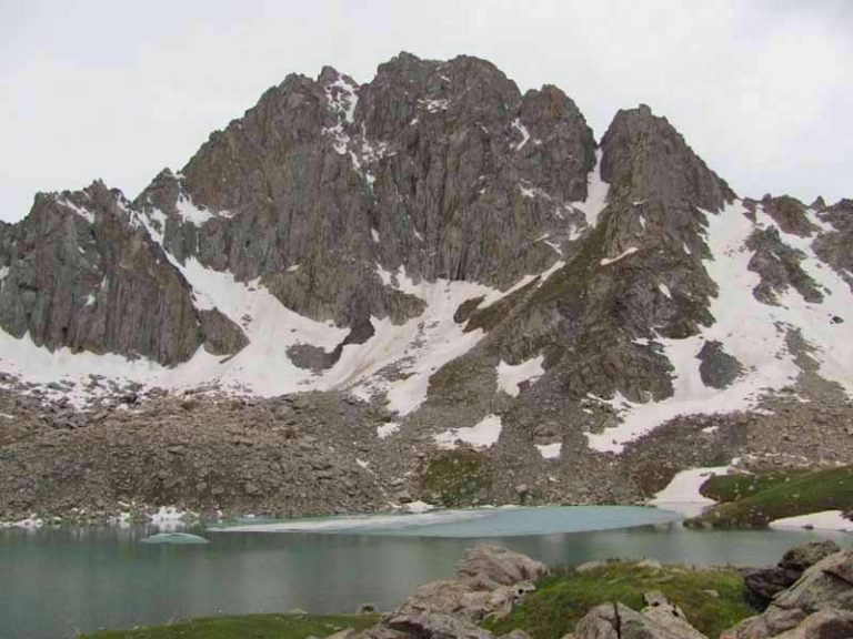
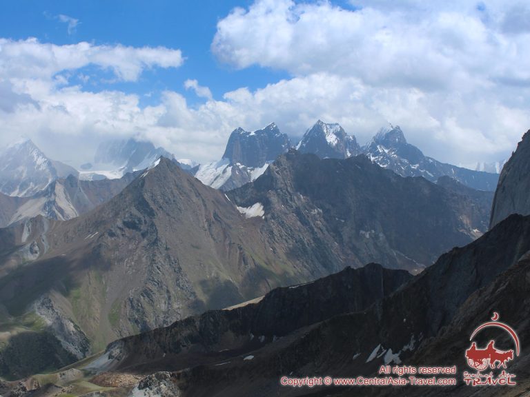
A. Bondarenko Peak
Elevation above sea level: not confirmed
A. Bondarenko is a named summit immediately beside Marechek on the ridge mapped towards Krasnaya Gorka.
NATURE, HISTORY AND CULTURE
Find lakes, mountains, caves, historic sites and more. Choose a type and region, or explore all places by region below.
Try another type or region, or clear the search.
Chuy Region
Elevation above sea level: not confirmed
A. Bondarenko is a named summit immediately beside Marechek on the ridge mapped towards Krasnaya Gorka.
Chuy Region
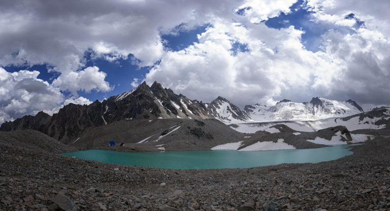
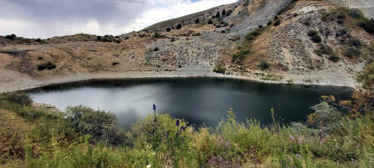
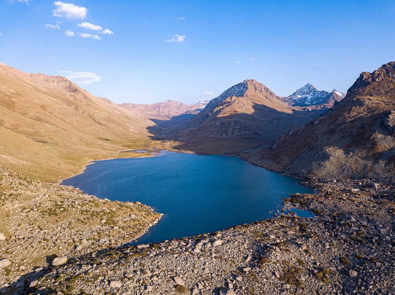
The Adygene lakes lie in the upper Adygene Valley in Ala-Archa, in the Kyrgyz Ala-Too. Several lakes occupy the glacier and moraine landscape.
Chuy Region
Elevation above sea level: 4,360 m
Adygene Peak is a separate summit in the Ala-Archa mountain area of the Kyrgyz Ala-Too. The named summit lies west of the upper Adygene valley and lake landscape.
Chuy Region
Adygene is a side valley of the Ala-Archa basin in the Kyrgyz Ala-Too, south of Bishkek in Chuy Region.
Chuy Region
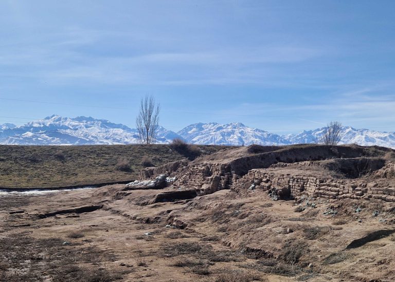
The archaeological site of Ak-Beshim preserves the remains of Suyab, an important Silk Road city in the Chuy Valley.
Chuy Region
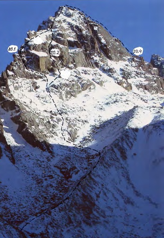
Elevation above sea level: 4,612 m
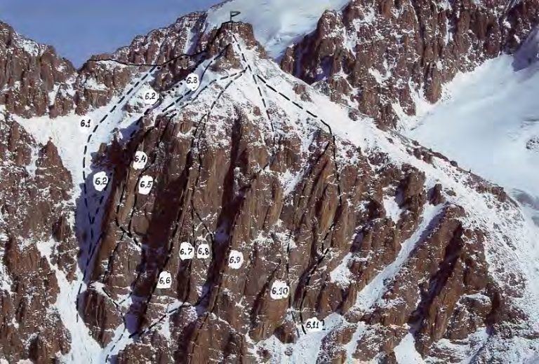
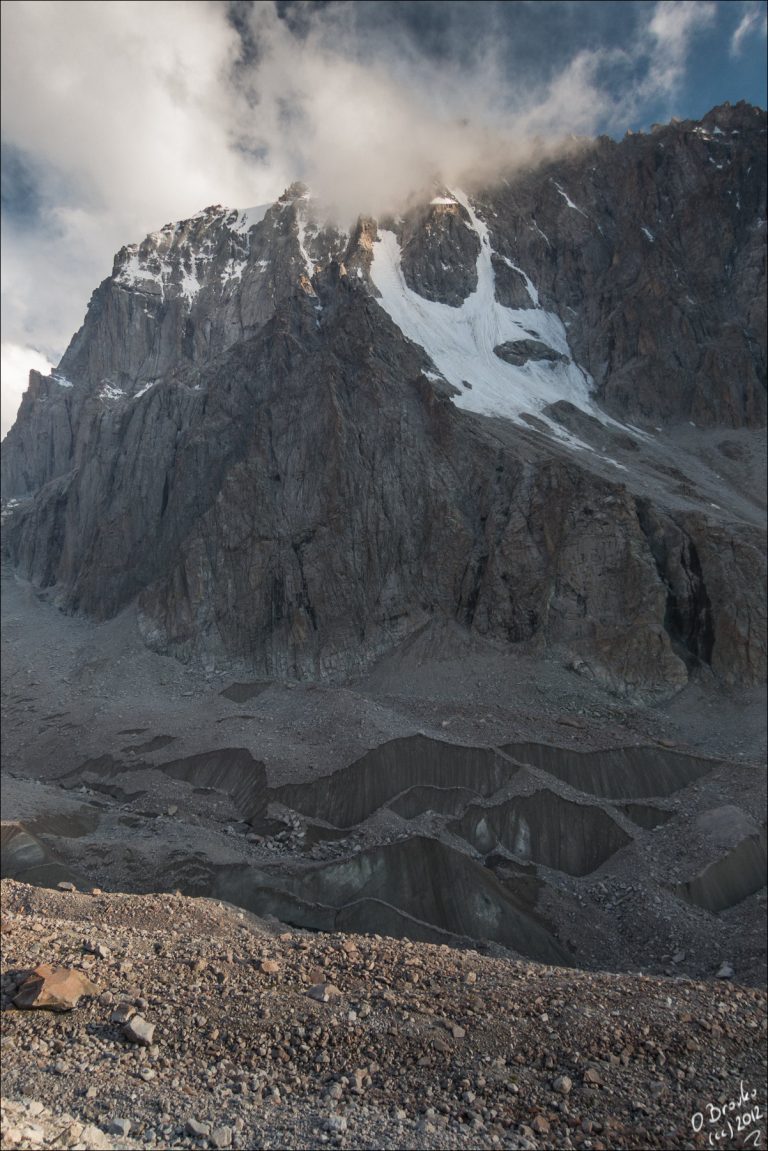
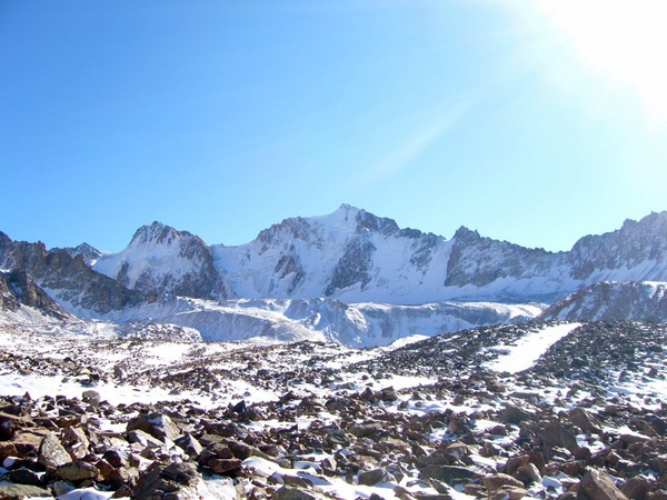
Ak-Too is a summit in the Ala-Archa mountain group. The historical guidebook used for the linked route catalogue identifies a technical line on its northern side.
Chuy Region
Ak-Tyuz is a mountain settlement in Kemin District, associated with the Kichi-Kemin valley and the extraction of rare-earth and other ores.
Chuy Region
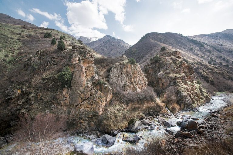
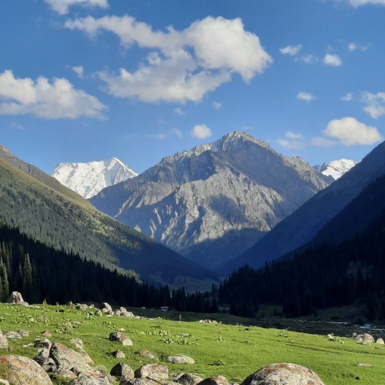
Ala-Archa brings the high Tian Shan within reach of a day trip from Bishkek. The river valley leads from juniper-covered slopes towards rocky peaks, glaciers and increasingly demanding mountain paths.
Chuy Region
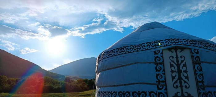
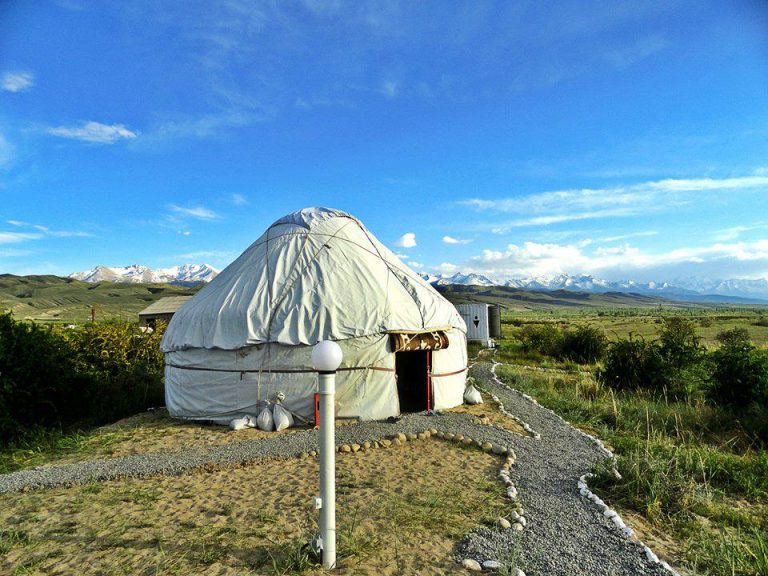
Ala-Kush is a yurt accommodation complex listed by the Chui regional destination organisation in Karool-Dobo, in the Chon-Kemin valley.
Chuy Region
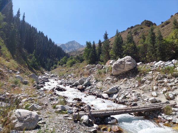
Alamedin is a river gorge on the northern side of the Kyrgyz Ala-Too, south of Bishkek. Its lower valley offers a gradual introduction to the mountains: an open river corridor, grassy slopes and views towards the higher range.
Chuy Region
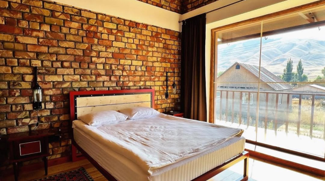
Ashu is a guesthouse in the Chon-Kemin valley, offering a village-based alternative to carrying a tent into the mountains.
Chuy Region
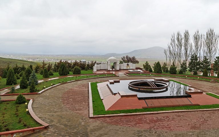
Ata-Beyit is a place of national remembrance in the foothills south of Bishkek. It brings together several chapters of Kyrgyzstan’s twentieth-century history rather than presenting a single monument in isolation.
Chuy Region
Elevation above sea level: 4,515 m
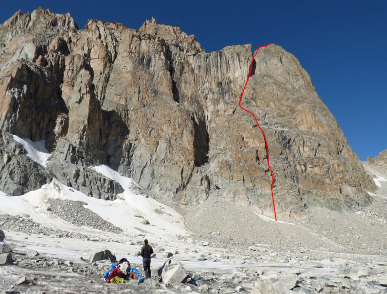
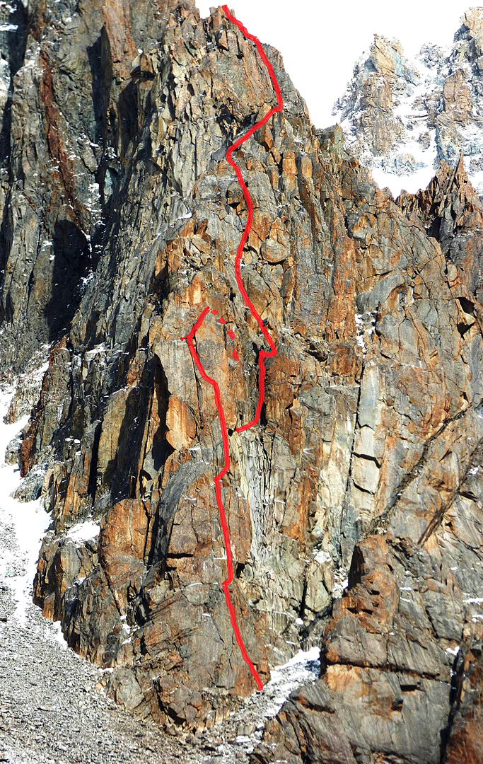
Baichechekey is a climbing objective in the Ala-Archa mountains. Published accounts describe a technical rock line on its western side; that account is useful reading for climbers interested in the area’s established and newer routes.
Chuy Region
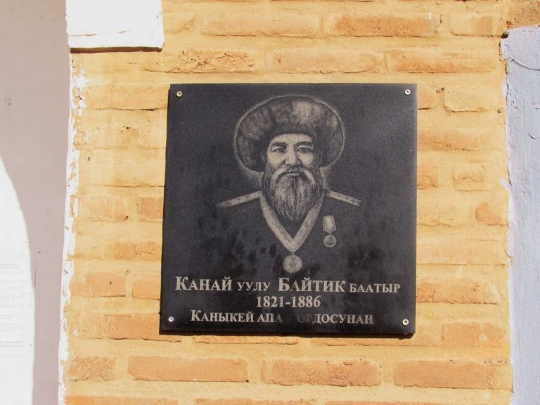
The mausoleum of Baytik Baatyr introduces the nineteenth-century history of the Chuy valley through a particular person and a commemorative building.
Chuy Region
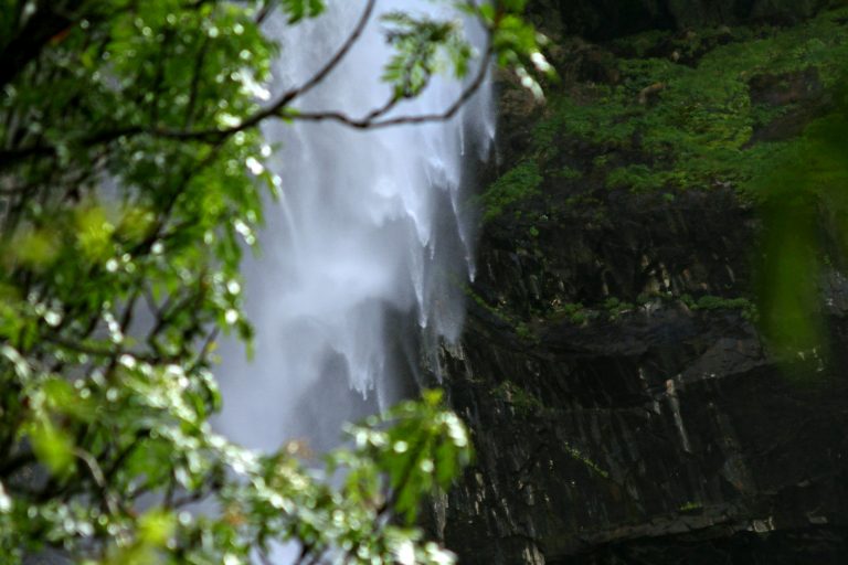
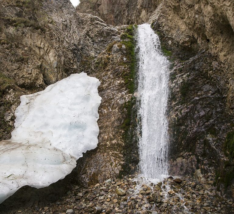
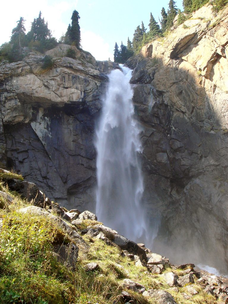
Belogorka Waterfall is a walking destination in the mountain country reached through the Sokuluk valley, west of the familiar Ala-Archa and Alamedin approaches.
Chuy Region
Elevation above sea level: 3,305 m
Beshalchalutash is a mountain summit above Chunkurchak Gorge, south of Bishkek in the Kyrgyz Ala-Too.
Chuy Region
Boom Gorge is the dramatic river corridor that many travellers pass through between the Chuy valley and the western side of Issyk-Kul.
Chuy Region
Borulu is a small seasonal lake in a side valley of the Sokuluk mountain area. It is also called Kok-Kol, a name shared by many lakes in Kyrgyzstan.
Chuy Region
Elevation above sea level: 4,298 m
Box Peak is an Ala-Archa summit associated in a published ascent account with the Ratsek base and an Ak-Sai Glacier crossing.
Chuy Region
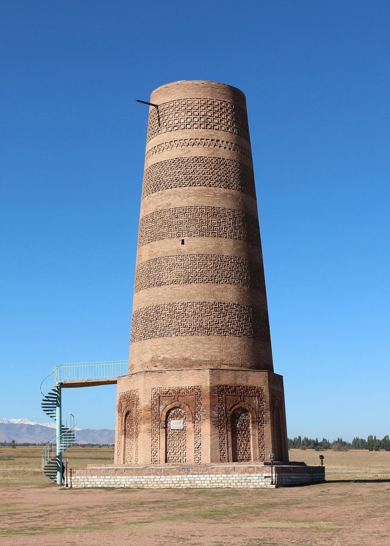
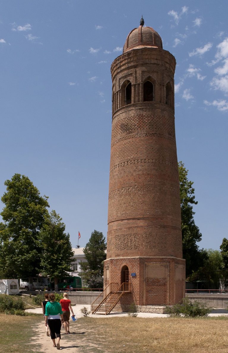
Burana Tower rises above the remains of Balasagun near Tokmok. The brick minaret is the most visible part of a much larger medieval city, one of the Kyrgyz components of the UNESCO Silk Roads corridor.
Chuy Region
Elevation above sea level: 4,145 m
Chiavari is an informal summit name used by the authors of a 2016 climbing expedition in Ala-Archa.
Chuy Region
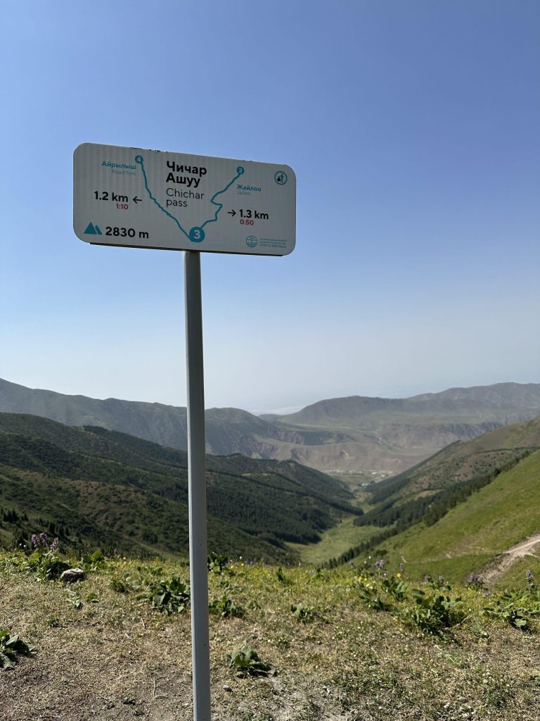
Chichar is a walking pass connecting the Chunkurchak side of the near-Bishkek mountains with the Alamedin valley.
Chuy Region
Chon-Kemin is a broad mountain valley where rural settlements, pastures, woodland and the river form a landscape best explored slowly.
Chuy Region
Elevation above sea level: 1,381 m
This page identifies the Chong-Aryk summit point, not the settlement carrying the same name. It is a separately mapped hill feature south of the capital, and the supplied route finishes at that mapped point.
Chuy Region
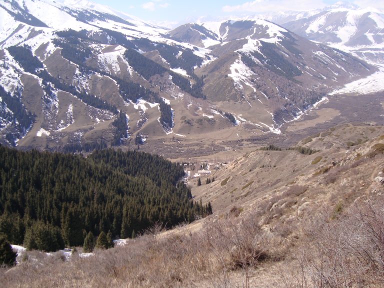
Chunkurchak is a mountain valley south of Bishkek where broad grassy slopes, narrower rocky sections and several developed recreation sites sit close together.
Chuy Region
Elevation above sea level: 3,305 m
Dyadyuchenko is a mapped summit also identified in the catalogue as Beshalchalutash, in the Chunkurchak area.
Chuy Region
Elevation above sea level: 4,079 m
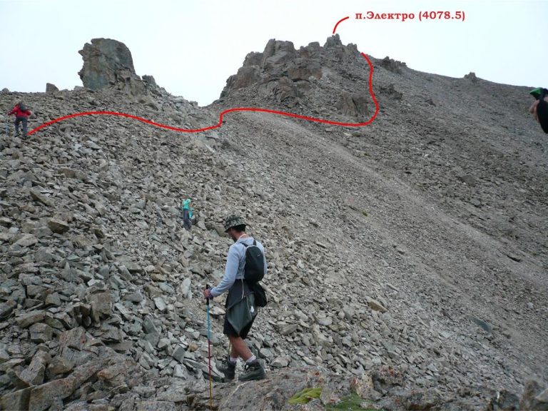
Elektro is a summit associated with the upper Adygene valley in the Ala-Archa mountain area south of Bishkek.
Chuy Region
Elevation above sea level: 4,424 m
Gryaznova Peak is a summit in the upper Ala-Archa mountains, in the Kyrgyz Ala-Too.
Chuy Region
Elevation above sea level: 4,020 m
Gymnica 2000 is a rock tower between Uchitel and Baichechekey peaks in Ala-Archa. The name comes from an expedition report.
Chuy Region
Issyk-Ata combines a mountain valley, a long-established spa setting and traces of an older religious landscape.
Chuy Region
Elevation above sea level: 4,220 m
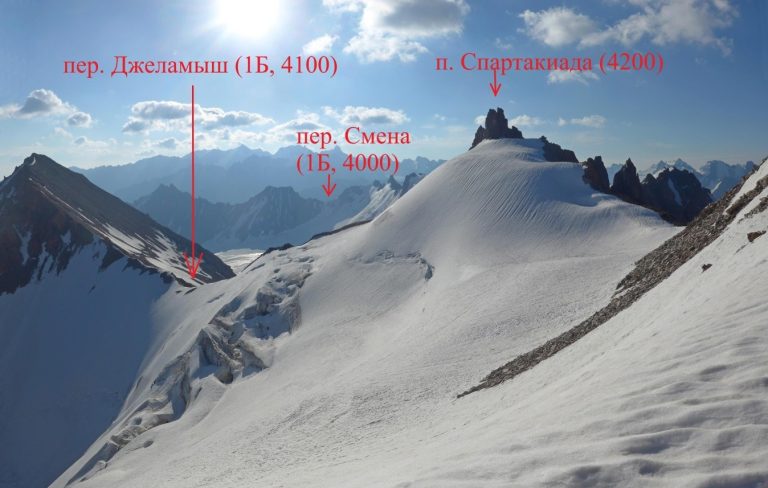
Jalamysh Peak lies in the western high mountains of the Ala-Archa area, near a pass of the same name.
Chuy Region
Elevation above sea level: 4,488 m
The mapped peak carries the name Communist Party of Kyrgyzstan Peak, with Karauldy recorded as an alternative.
Chuy Region
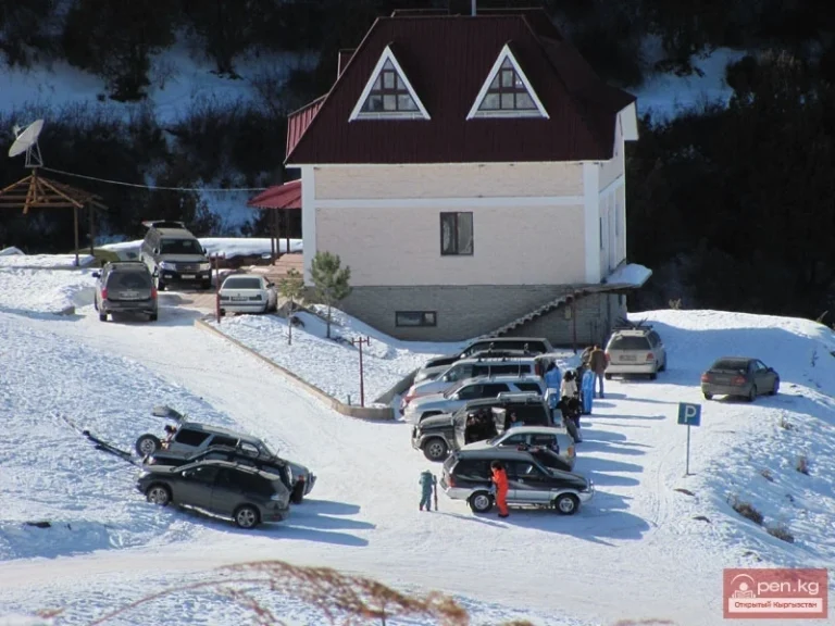
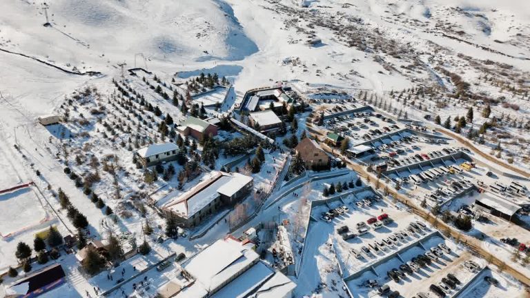
Kashka-Suu is a ski centre in the mountains south of Bishkek with a history rooted in the city’s amateur skiing community.
Chuy Region
Elevation above sea level: 3,171 m
Kashka-Suu-Bashi is a peak on the northern side of the Ala-Archa mountain area, above the foothills of the Kyrgyz Ala-Too.
Chuy Region
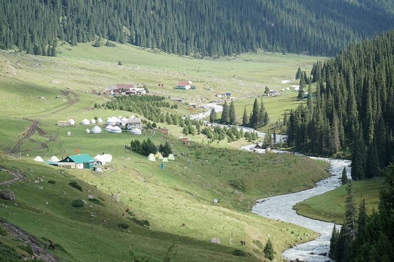
Kegety is one of the mountain valleys south of the Chuy plain, suitable for a day focused on rivers, wooded slopes and walking.
Chuy Region
Kichi-Kemin is the smaller Kemin valley associated with the approach to Ak-Tyuz. It is a different destination from the better-known Chon-Kemin valley and national park.
Chuy Region
Elevation above sea level: 4,060 m
KNU is a mapped summit in the Adygene mountain area. The linked map line is described as informal and poorly visible, making orientation an important part of any plan involving this objective.
Chuy Region
This Kojomkul is the village in the Suusamyr valley corridor of Jayyl District, Chuy Region. It must be distinguished from the settlement near Bishkek that also uses the name.
Chuy Region
Kok-Archa is a guesthouse in the Tar-Suu gorge of the Chon-Kemin valley. The regional destination catalogue describes a mountain and forest setting, and links to the property’s own website.
Chuy Region
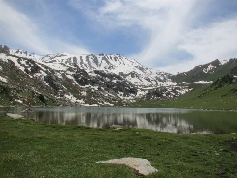
Kol-Kogur is a mountain lake in the Chon-Kemin landscape, a different destination from Kol-Tor in the Kegety gorge.
Chuy Region
Kol-Tor above Kegety is a mountain lake reached on foot rather than a roadside stop. The attraction is the whole ascent: river scenery and changing slopes lead towards a quiet basin enclosed by mountains.
Chuy Region
Elevation above sea level: 4,204 m
Komsomolets is an Ala-Archa summit with several published outings and a mapped upper approach. The route through Tepshi and Violet Pass is distinct from the walk towards Ratsek Hut.
Chuy Region
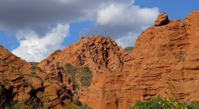
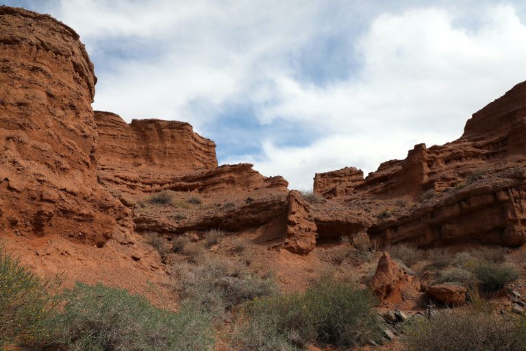
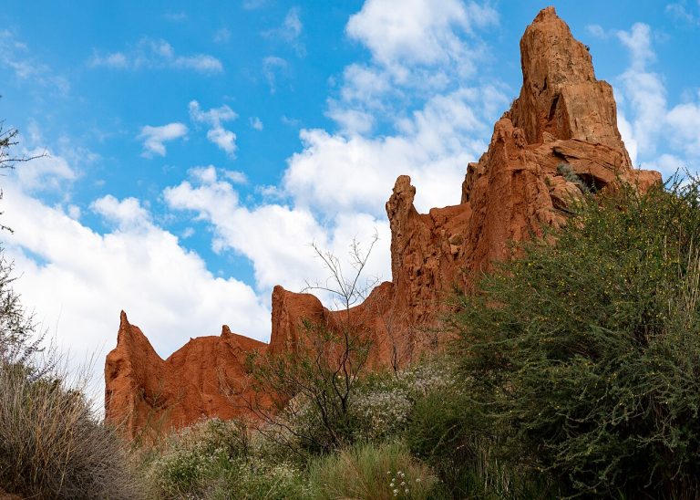
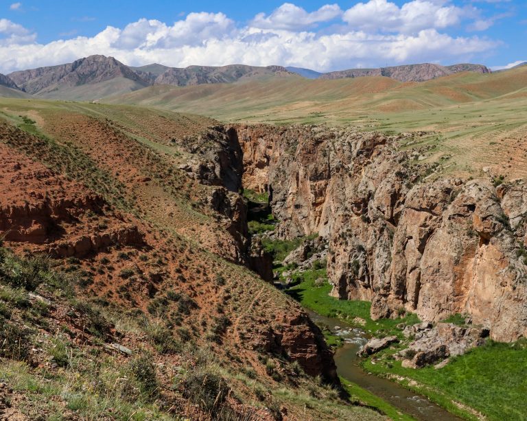
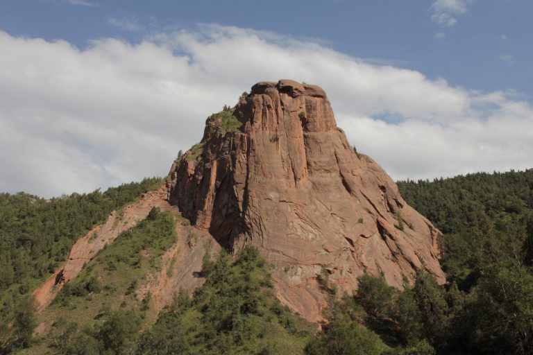
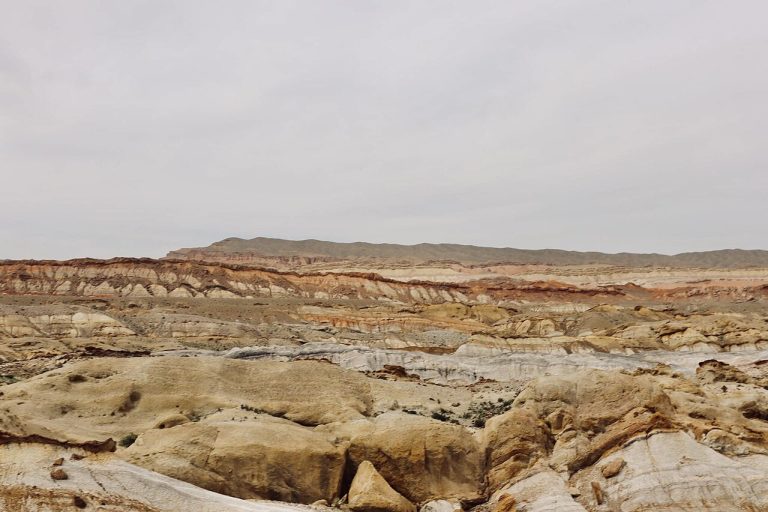
Konorchek is known for eroded red rock formations hidden away from the main road through the Boom area.
Chuy Region
Elevation above sea level: 4,830 m
The Third Tower is a specific summit objective within Korona in Ala-Archa. A published ascent account combines glacier travel with a final rock section.
Chuy Region
Elevation above sea level: 4,215 m
Krasnaya Gorka is the named mountain point on the mapped ridge that also contains Marechek and A. Bondarenko.
Chuy Region
Elevation above sea level: 4,215 m
Marechek is one of three named summits on a short mapped ridge section alongside A. Bondarenko and Krasnaya Gorka.
Chuy Region
Nevaket, also known through the modern name Krasnaya Rechka, is another of the Chuy Valley’s UNESCO Silk Roads sites.
Chuy Region
Orlovka is a developed ski base in the Kemin part of Chuy Region. It gives an eastern alternative to the ski areas in the foothills directly south of Bishkek and can fit a journey that also explores Tokmok or Chon-Kemin.
Chuy Region
Elevation above sea level: 4,008 m
Pioneer is a summit in Ala-Archa, linked in published accounts with the Violet Pass area and with a traverse towards Komsomolets.
Chuy Region
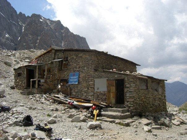
Ratsek Hut is a mountain base in Ala-Archa, used as an orientation point in accounts of climbs around Uchitel and the neighbouring peaks.
Chuy Region
Elevation above sea level: 3,972 m
Ratsek Peak is a summit, distinct from the mountain hut bearing the same name. Published route references discuss different sides of the mountain, so the place name alone is not enough to choose a climb.
Chuy Region
Elevation above sea level: 3,983 m
Robson Peak is a summit in the upper Ala-Archa mountains, near Keldy-Choku Pass.
Chuy Region
Elevation above sea level: 4,050 m
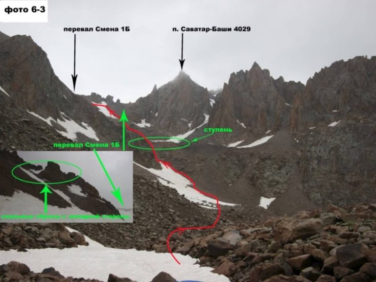
Savatar-Bashi is a mountain summit in upper Ala-Archa, east of Adygene Peak.
Chuy Region
Elevation above sea level: 4,895 m
Semenov Tian-Shansky is a major climbing objective in the Ala-Archa mountains. The published northwest-face account describes snow, ice and rock, with a difficult descent during bad weather.
Chuy Region
Shabdan Baatyr’s mausoleum is part of the historical and sacred geography of the Kemin area. The Aigine Cultural Research Centre records the site near Tort-Kul in its field-based study of northern Kyrgyzstan’s sacred places.
Chuy Region
Shamsy, also written Shamshy or Shamsi, is a river valley south of the Tokmok area in Chuy Region.
Chuy Region
Supara Chunkurchak is an ethnocultural resort in Chunkurchak Gorge, with yurt-style accommodation and a restaurant setting inspired by Kyrgyz traditions.
Chuy Region
Suusamyr is a high, open valley on the journey between northern Kyrgyzstan and the country’s south.
Chuy Region
Elevation above sea level: 4,317 m
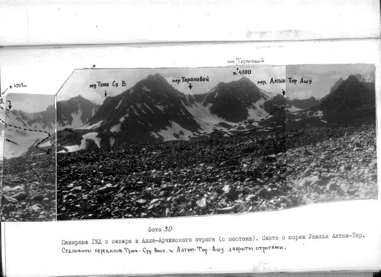
Taranova Peak lies in the southern, upper part of the Ala-Archa mountain area, in the Kyrgyz Ala-Too.
Chuy Region
Tokmok is a Chuy valley city east of Bishkek and a practical base for exploring the archaeological and mountain landscapes around it.
Chuy Region
Too-Ashuu marks a dramatic transition from the northern slopes of the Kyrgyz Range towards the open Suusamyr Valley.
Chuy Region
Elevation above sea level: 4,650 m
Turdakun Usubaliev Peak is a high summit of the Kyrgyz Ala-Too in Chuy Region, also known in older route descriptions as Spartak.
Chuy Region
Elevation above sea level: 2,300 m
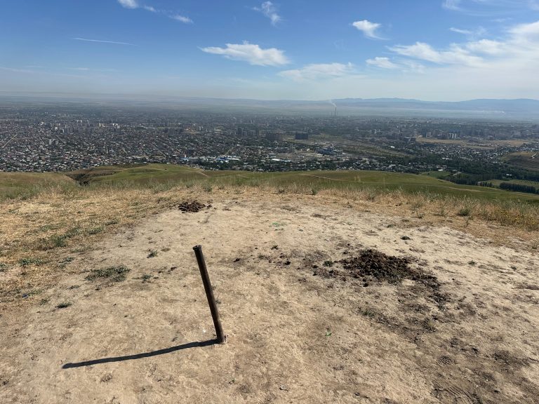
Tysha is a viewpoint mountain on the nearer ridge between the Alamedin and Ala-Archa valleys south of Bishkek.
Chuy Region
Elevation above sea level: 4,530 m
Uchitel is a summit above the Ratsek area in Ala-Archa. Route descriptions connect the lower mountain base with a sustained upper scree ascent.
Chuy Region
Elevation above sea level: 3,801 m
Zelenkova is a summit associated with the Chunkurchak area. A published outing announcement describes a forest approach followed by meadows and scree.
Chuy Region
ZIL is a developed mountain recreation base in Chuy Region, reached from Bishkek through the southern foothills.
Chuy Region
Elevation above sea level: 3,787 m
Znachkistov is a separately mapped summit in the Ala-Archa mountain area. OpenStreetMap identifies a named peak, which provides a precise geographical reference for distinguishing it from a general walk in the national park.
Issyk-Kul Region
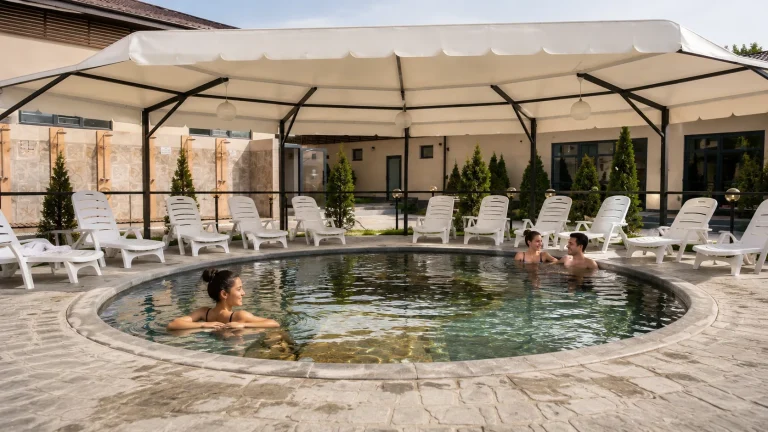
Ak-Bermet is a lakeshore hotel and bathing complex near Cholpon-Ata. Its own visitor information distinguishes the outdoor thermal pools from the indoor spa facilities.
Issyk-Kul Region
The Ak-Sai canyons on the southern side of Issyk-Kul are also promoted as the Canyon of Forgotten Rivers.
Issyk-Kul Region
Ak-Suu Arboretum provides a forest-and-viewpoint outing between the Karakol area and the approach towards Ak-Suu.
Issyk-Kul Region
Ak-Suu Kench offers a hot-spring outing near the village also known as Teploklyuchenka, outside Karakol.
Issyk-Kul Region
Ak-Tash is a camp area near the forest belt and red hills in Chon-Kyzyl-Suu Gorge, above Issyk-Kul.
Issyk-Kul Region
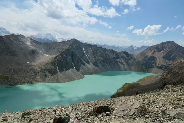
Ala-Kul is a high mountain lake in the ranges south of Karakol, valued for its changing blue-green water and steep alpine setting.
Issyk-Kul Region
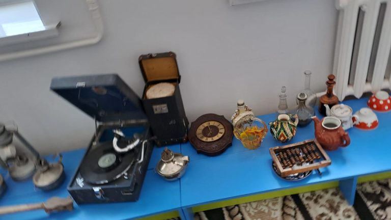
Altyn Uya is a small museum connected with a preschool educational organisation named for Aina Seitalieva.
Issyk-Kul Region
Altyn-Arashan combines a mountain river, spruce-covered slopes and the hot springs for which the valley is widely known.
Issyk-Kul Region
Balykchy stands at the western end of Issyk-Kul, where the journey through the Boom corridor opens onto the lake basin.
Issyk-Kul Region
Earthwork remains of a fortified caravanserai survive in Barskoon Gorge. They mark a historic caravan stop in a valley now best known for its waterfalls.
Issyk-Kul Region
Barskoon is a gorge outing with several cascade approaches rather than a single viewpoint reached by stopping on the lakeshore road.
Issyk-Kul Region
Boz-Salkyn is a mountain-and-pasture excursion on the southern side of Issyk-Kul, used in local itineraries from the Bokonbayevo area.
Issyk-Kul Region
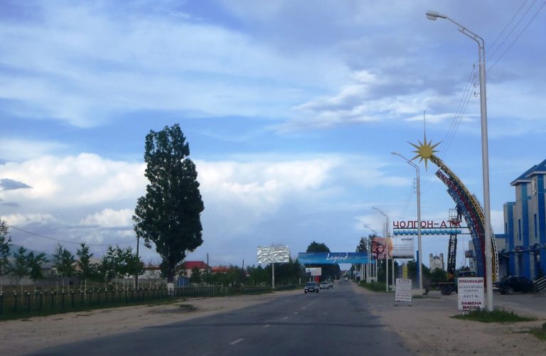
Cholpon-Ata combines a north-shore Issyk-Kul resort setting with two quite different cultural visits.
Issyk-Kul Region
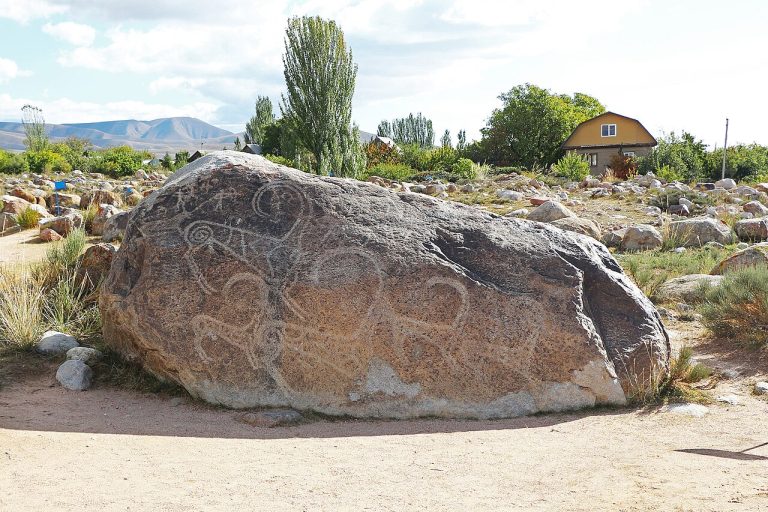
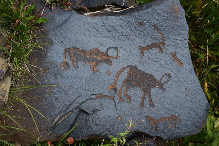
The open-air petroglyph site above Cholpon-Ata places ancient rock images in the landscape where visitors can still see them on scattered boulders.
Issyk-Kul Region
Chon-Jargylchak is a village in Jeti-Oguz District on the southern side of the Issyk-Kul region.
Issyk-Kul Region
Chon-Kyzyl-Suu opens a different mountain journey from the familiar roadside red rocks of Jeti-Oguz.
Issyk-Kul Region
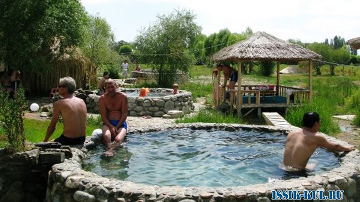
Chon-Oruktu on Issyk-Kul’s northern shore is known for thermal bathing facilities. Confirm the specific pool complex when arranging a visit.
Issyk-Kul Region
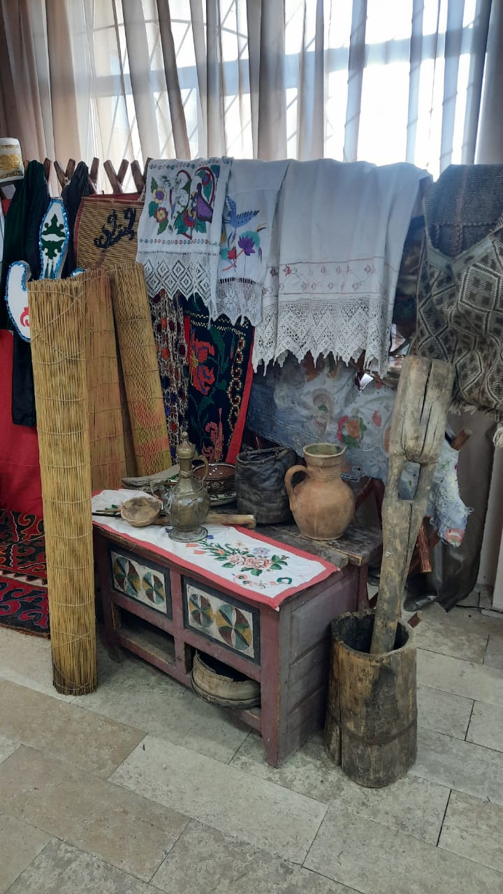
The design museum in Ak-Terek, on Issyk-Kul’s southern shore, presents clothing, jewellery, decorative objects and local crafts.
Issyk-Kul Region
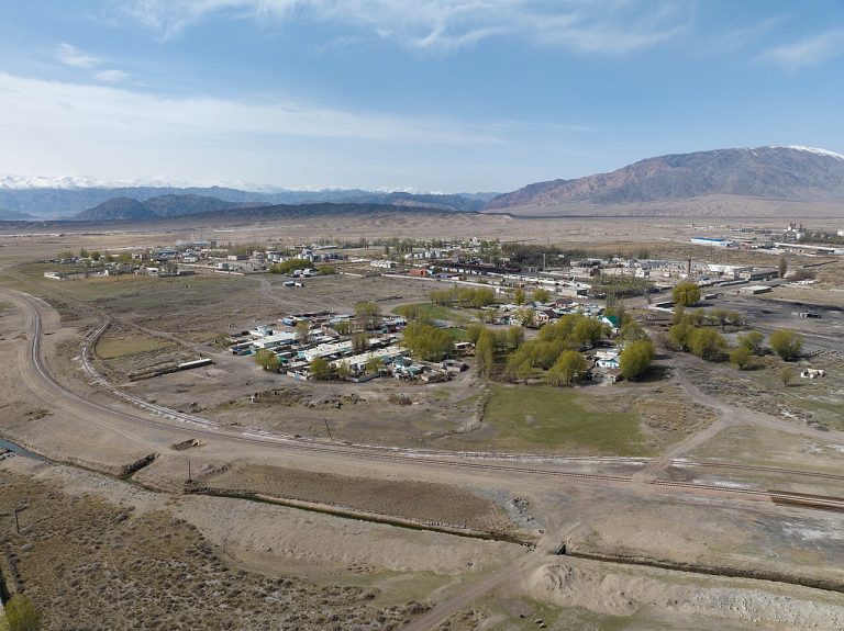
Engilchek, also written Inylchek or Enilchek, is a former mining settlement in the Sary-Jaz area.
Issyk-Kul Region
The waterfall known as Girl’s Braids is part of an outing into the Kok-Jaiyk area above Jeti-Oguz.
Issyk-Kul Region
Grigoriev Gorge is the Chon Ak-Suu valley above Issyk-Kul’s northern shore. It is distinct from Semenov Gorge, which follows Kichi Ak-Suu towards the open Kyrchyn pastures.
Issyk-Kul Region
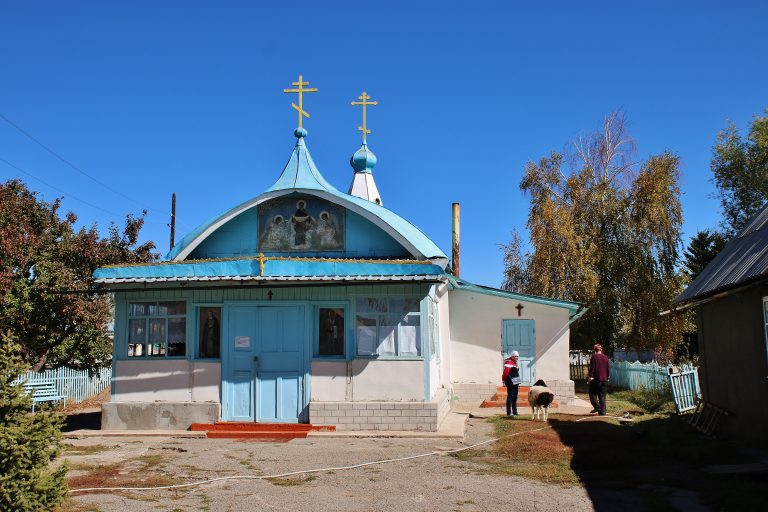
The church in Kyzyl-Suu adds a religious and architectural stop to a visit otherwise focused on the village market and nearby valleys.
Issyk-Kul Region
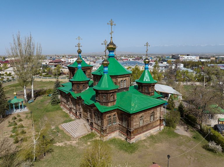
The wooden Holy Trinity Cathedral is one of Karakol’s defining historic buildings. Its green rooflines, carved details and church grounds add another layer to a town shaped by migration and several religious communities.
Issyk-Kul Region
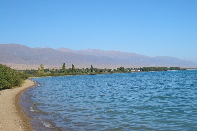
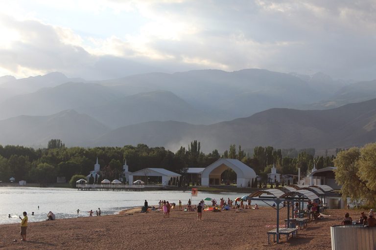
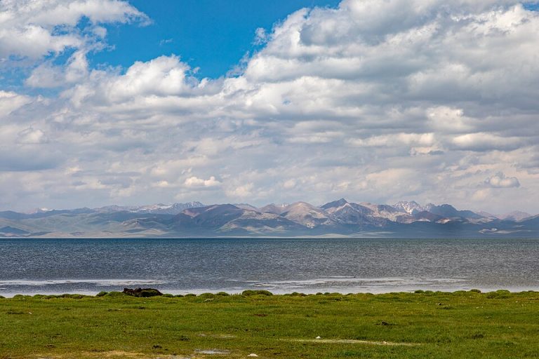
Issyk-Kul is the great lake at the centre of eastern Kyrgyzstan’s best-known travel circuit. Its broad water surface lies between mountain ranges, with very different experiences around the shore: resort towns, small villages, beaches and access roads into alpine valleys.
Issyk-Kul Region
The Jeti-Oguz sanatorium occupies a separate place in the red-rock valley’s history. Its development began in the Soviet period, and the resort buildings stand near the Seven Bulls formations.
Issyk-Kul Region
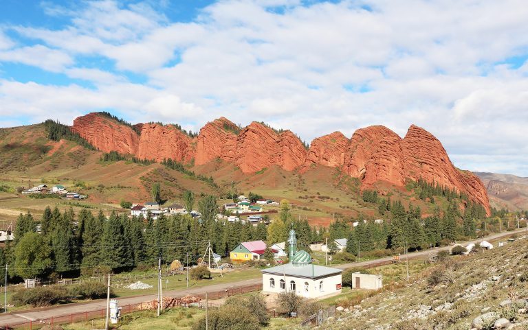
The red rock wall known as the Seven Bulls is the signature sight of Jeti-Oguz. It stands near the entrance to a mountain valley southwest of Karakol, where the exposed red formations give way to greener slopes and higher pastures.
Issyk-Kul Region
Juuku is a long mountain valley west of Chon-Kyzyl-Suu, reached from the south shore of Issyk-Kul.
Issyk-Kul Region
Juukuchak is a side valley of the Juuku mountain system above Issyk-Kul’s southern shore. Its hot-spring bathing stop brings a different pace to a journey otherwise built around walking, forest and river scenery.
Issyk-Kul Region
The Jyluu-Suu springs are a separate destination within the Chon-Kyzyl-Suu mountain setting. They should not be confused with Ak-Suu Kench near Karakol or with the baths of Altyn-Arashan.
Issyk-Kul Region
Jyrgalan is a village base for exploring the mountain valleys east of Karakol. Its appeal is the ability to stay locally and choose routes of different lengths through pastures and higher terrain.
Issyk-Kul Region
Karakol deserves time as a city as well as a base for the eastern Issyk-Kul mountains. Its streets bring together the histories of different communities, with wooden architecture, places of worship and food traditions that make a useful counterpoint to days on mountain trails.
Issyk-Kul Region
Karakol’s livestock market is a working place of buying, selling and moving animals. Local tourism descriptions identify it with the Sunday morning trade on the city’s northern side.
Issyk-Kul Region
Karakol’s Dungan Mosque is a distinctive religious building whose timber forms and decorative language reflect the city’s Dungan heritage.
Issyk-Kul Region
Karakol Gorge takes the traveller from the city into the mountain setting that gives the region much of its character.
Issyk-Kul Region
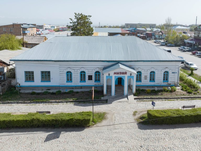
Karakol’s historical museum gives the city and its surrounding landscapes a human timescale. Exhibits cover regional history, crafts and everyday life rather than concentrating on one famous monument.
Issyk-Kul Region
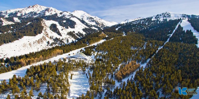
Karakol Ski Base is a developed mountain resort above Karakol, among the conifer forests of the Tien Shan.
Issyk-Kul Region
Karkara is an Ak-Sai Travel base camp in the eastern Issyk-Kul mountains, used for trekking towards the Central Tian Shan.
Issyk-Kul Region
Kok-Jaiyk is the pasture-and-forest landscape beyond the familiar Jeti-Oguz resort area. Often called the Valley of Flowers, it offers a reason to continue exploring after the red rocks.
Issyk-Kul Region
Kok-Moynok is a canyon destination in the Balykchy–Kochkor approach area, distinct from Konorchek.
Issyk-Kul Region
Kol-Tor is a mountain lake in the Jergez Valley near Ichke-Jergez, in the Karakol area.
Issyk-Kul Region
Kyzyl-Suu is a south-shore settlement and the administrative centre of Jeti-Oguz district. Older references may call it Pokrovka.
Issyk-Kul Region
Kyzyl-Tuu in Tong District is a village on the southern Issyk-Kul travel corridor, known for yurt-making traditions.
Issyk-Kul Region
Mars Canyon is a tourism name for a red-and-orange badland landscape on the south side of Issyk-Kul.
Issyk-Kul Region
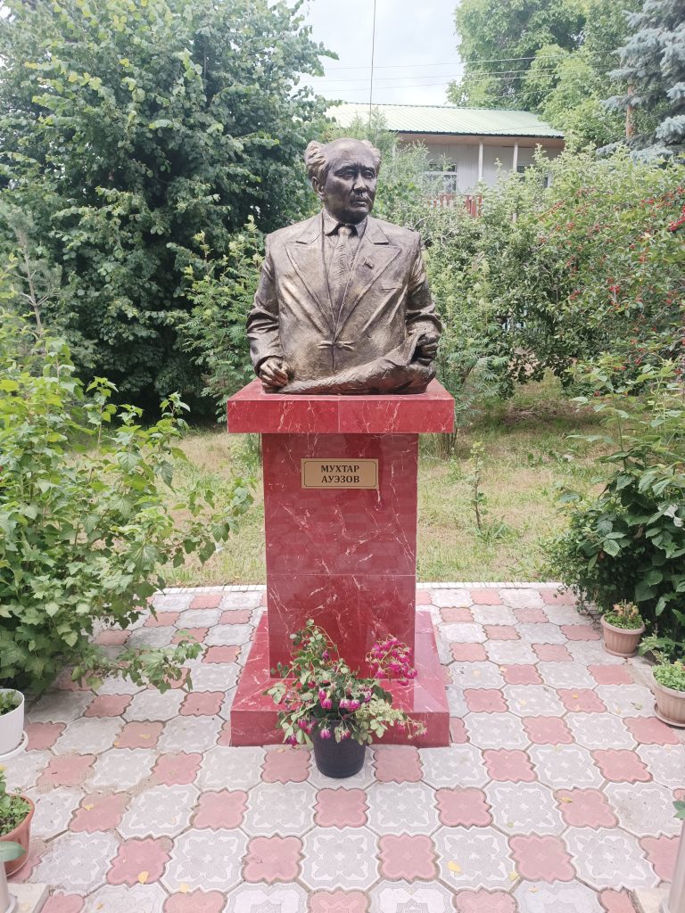
Mukhtar Auezov’s former house in Cholpon-Ata links Issyk-Kul with the literary history of Central Asia.
Issyk-Kul Region
Orgochor’s history museum displays household objects, photographs, clothing and crafts connected with village life near Issyk-Kul.
Issyk-Kul Region
Elevation above sea level: 4,720 m
Palatka is a mountain objective in the wider Altyn-Arashan area east of the main Ala-Kul trekking circuit.
Issyk-Kul Region
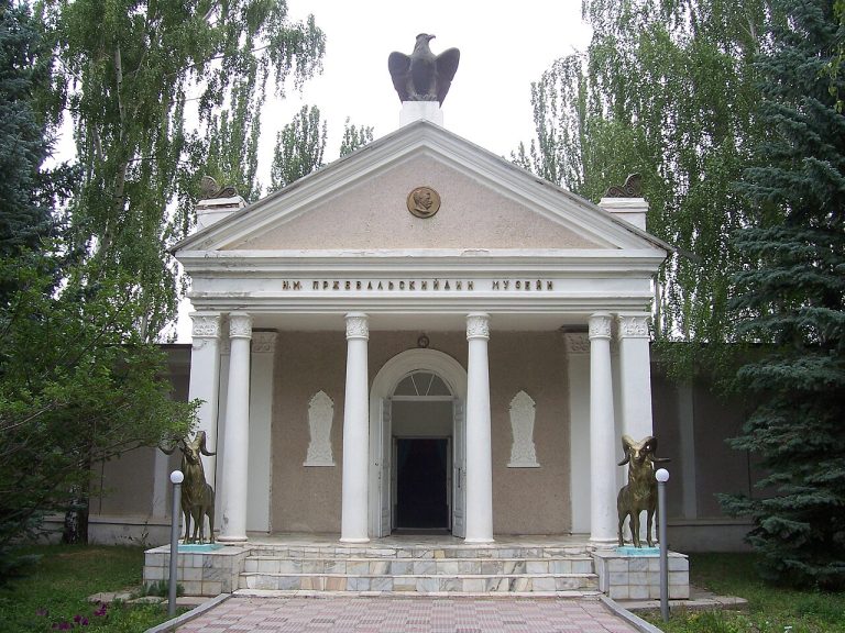
The Przhevalsky Memorial Museum near Karakol introduces the explorer associated with nineteenth-century expeditions across Central and Inner Asia.
Issyk-Kul Region
Rukh Ordo is a cultural complex on the Issyk-Kul shore in Cholpon-Ata, bringing landscaped grounds, monuments and spaces for reflection together beside the lake.
Issyk-Kul Region
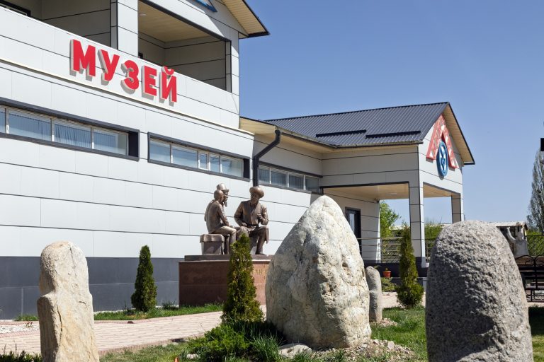
The Sadyk Sydykov Museum in Saruu presents village history and material about nomadic life.
Issyk-Kul Region
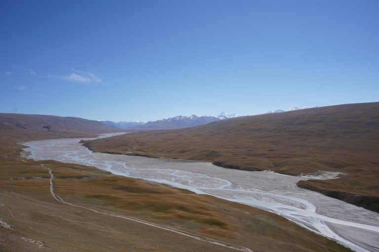
Sary-Jaz belongs to the more remote mountain journeys reached from Karakol. Broad river landscapes, high ridges and the approach towards the central Tian Shan distinguish it from the forested day-trip valleys nearer the city.
Issyk-Kul Region
Semenov Gorge follows the Kichi Ak-Suu river inland from Issyk-Kul’s northern shore. Above the narrower gorge, the landscape opens into the Kyrchyn pasture area where tributary valleys meet.
Issyk-Kul Region
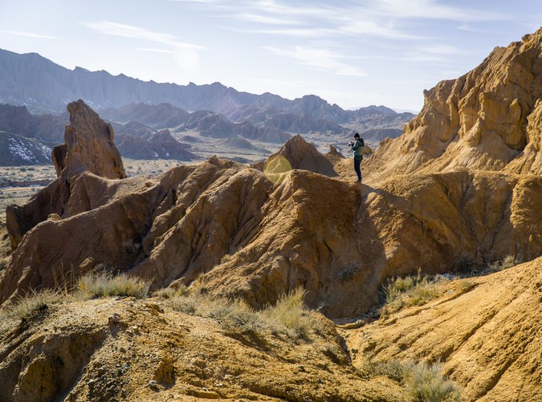
Skazka, or Fairy Tale Canyon, is a compact landscape of coloured ridges and weathered rock near Issyk-Kul’s southern shore.
Issyk-Kul Region
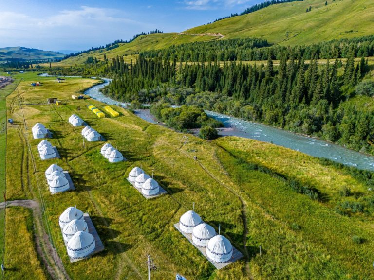
Sky Yurts is a yurt accommodation listing in the Semenovka area. The host describes a setting among mountains, river and forest; confirm the exact location and availability before booking.
Issyk-Kul Region
The Tatar Mosque adds another layer to Karakol’s religious and architectural landscape. Destination Karakol traces it to the Tatar community of the nineteenth century and describes its green roof, blue dome and pointed window details.
Issyk-Kul Region
Tosor Quiet Bay is a named lakeshore area on the south side of Issyk-Kul. The local destination description places the emphasis on a sandy shore and a slower beach stay.
Issyk-Kul Region
Turnaluu-Kol is a mapped mountain lake near Jyrgalan. It is a distinct destination from the village and the wider valley, so use the lake name when discussing an outing with a local guide.
Issyk-Kul Region
Tuz-Kol, often called the Dead Lake, is a small saline lake close to Issyk-Kul’s southern shore.
Issyk-Kul Region
This school museum connects the biography of Ybrai Sooronbaev with the history of An-Oston village.
Issyk-Kul Region
The Yrdik lakes belong to the mountain country south of Karakol in the Terskey Ala-Too. The name refers to a separate lake outing in the neighbouring valleys, not another name for Ala-Kul or for Issyk-Kul itself.
Issyk-Kul Region
Znaky is a retreat centre on the southern shore of Issyk-Kul, listed by the local Jeti-Oguz tourism organisation.
Naryn Region
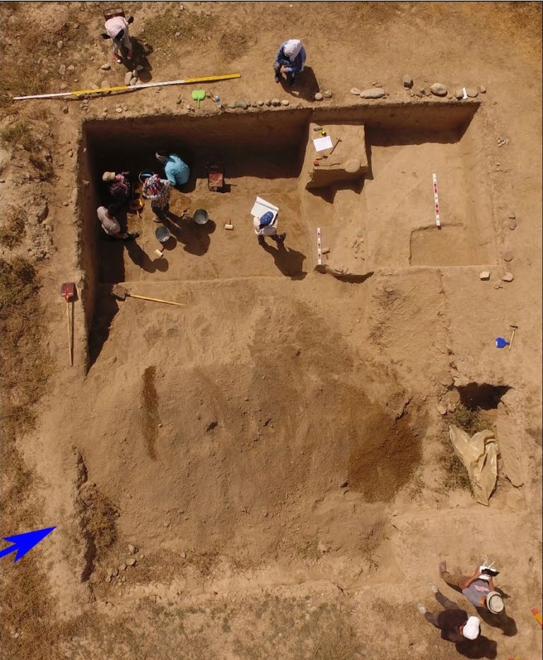
Aigyrzhal-2 is an archaeological site on the University of Central Asia’s Naryn campus. Excavations have revealed settlement and burial evidence from several periods.
Naryn Region
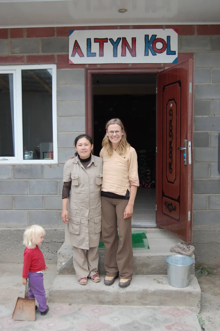
Altyn-Kol is associated with women’s handicrafts in Kochkor and the making of Kyrgyz felt carpets.
Naryn Region
At-Bashy is the main settlement of the district of the same name in southern Naryn Region. For a traveller, it is a place to connect a valley’s everyday life with the archaeological and mountain landscapes farther along the journey.
Naryn Region
The At-Bashy Canyon area offers a closer look at the sculpted, comparatively dry landscapes around Naryn’s mountain basins.
Naryn Region
Baetov, also written Baetovo, is a settlement in Ak-Talaa District of Naryn Region. It is a useful reference when planning a journey through the inland valleys between better-known destinations.
Naryn Region
Chaek is a settlement in the Jumgal area of Naryn Region. It is a useful inhabited reference within the mountain valleys of central Kyrgyzstan, distinct from the high pasture basin of Song-Kul and from Kyzyl-Oi farther along the regional valley network.
Naryn Region
Chatyr-Kul occupies a remote high-altitude basin near the Torugart route. Its open shores and wetland setting offer a quieter, more austere landscape than the developed shores of Issyk-Kul.
Naryn Region
Eki-Naryn is known for the meeting of the Big and Small Naryn rivers in a mountain landscape east of Naryn town.
Naryn Region
Kegeti Pass is a mountain crossing included in both the Tian Shan Traverse and the Celestial Divide cycling itineraries.
Naryn Region
Kel-Suu is a remote high mountain lake enclosed by steep rock walls in the south of Naryn Region.
Naryn Region
Kilemche is a valley stop on the walking journey from Kyzart Pass towards Song-Kul. It gives the crossing a useful intermediate destination, separate from both the road start and the lakeshore.
Naryn Region
Kochkor is a village in Naryn Region and a starting point for trips to the surrounding mountain pastures. Local crafts include Kyrgyz felt-making.
Naryn Region
This Kol-Tor Lake lies near Bosogo jailoo in At-Bashy District of Naryn Region.
Naryn Region
Kol-Ukok is a mountain-lake destination reached through the Kochkor area. Water enclosed by steep slopes and summer pasture gives it a different character from the broader, more open setting of Song-Kul.
Naryn Region
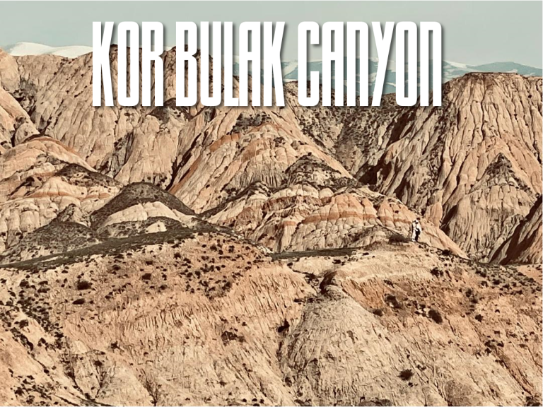
Kor-Bulak is a canyon landscape near Emgek-Talaa village in Naryn District.
Naryn Region
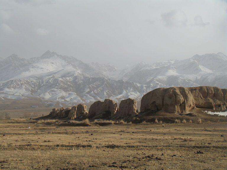
Koshoy-Korgon is a large earthen archaeological site in the At-Bashy area, associated in local tradition with the epic world of Manas.
Naryn Region
Kyrk-Kyz Pass appears on the Celestial Divide crossing beyond the Kökömeren and Kyzyl-Oi part of the journey.
Naryn Region
Kyzart Pass is a starting point for a journey across the mountains towards Kilemche and Song-Kul.
Naryn Region
Kyzyl-Oi is a village in the Kokomeren Valley, set among red-toned slopes and a powerful river landscape.
Naryn Region
Moldo-Ashuu is one of the mountain-pass destinations associated with access to Song-Kul. Visit Naryn places it in the Ak-Talaa part of the region near Ekachat.
Naryn Region
Naryn stretches through the valley of the river that gives the city its name. It is an important base for journeys into the central Tian Shan, but it also offers a chance to pause and understand a highland regional centre before travelling into less populated country.
Naryn Region
Naryn’s regional historical and ethnographic museum is named for Kaken Mambetalieva. Its collections introduce the region’s history and everyday life.
Naryn Region
Orto-Tokoy Reservoir on the Chu is a distinctive water landscape along travel between the Balykchy and Kochkor areas.
Naryn Region
Salkyn-Tor offers a mountain nature excursion close to Naryn, with valley scenery and slopes that invite walking at a measured pace.
Naryn Region
Saman-Kol is a group of five high mountain lakes in Ak-Talaa District of Naryn Region.
Naryn Region
Shaar is a mountain-waterfall destination associated with Bash-Kaiyndy in At-Bashy district. Visit Naryn includes it among the region’s natural attractions.
Naryn Region
Shyrdakbek is an archaeological site with earthen fortifications near Cholok-Kaiyn in Ak-Talaa District.
Naryn Region
Song-Kul sits in a broad highland basin where water, sky and summer pasture dominate the view. Seasonal yurt camps and grazing herds are part of a working landscape rather than a permanent resort town.
Naryn Region
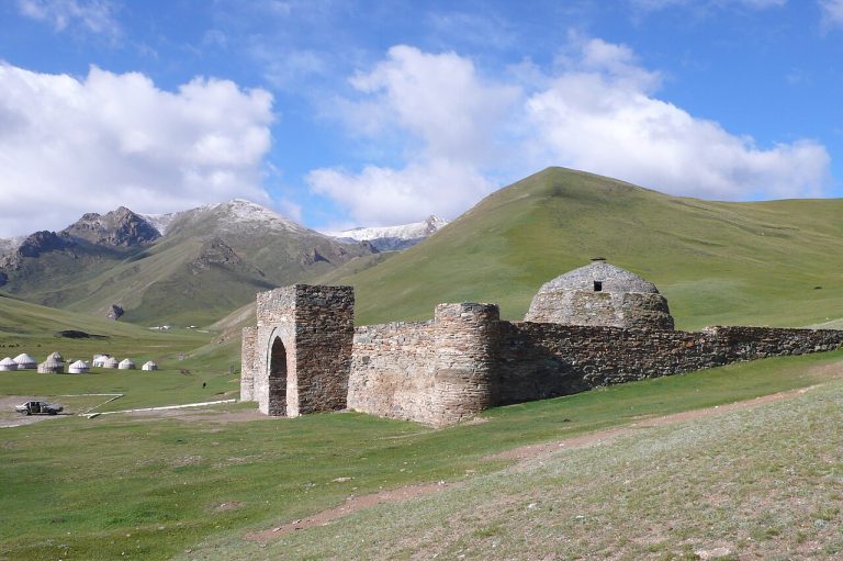
Tash Rabat is a stone caravanserai in a mountain valley south of Naryn. Its enclosed rooms, heavy masonry and domed spaces make the relationship between architecture and the surrounding travel landscape especially vivid.
Naryn Region
Teshik Jailoo is a pasture and geological landscape near Kara-Unkur village in Naryn District.
Naryn Region
Tuz-Ashuu Pass is one of the mountain crossings used by the Celestial Divide itinerary around the Song-Kul approach.
Talas Region
Besh-Tash Lake is a high mountain objective within the wider Besh-Tash landscape. The lake’s setting rewards travellers who are prepared for a long approach and the more demanding conditions above the lower valley.
Talas Region
Besh-Tash is a mountain nature park south of Talas, combining river valleys, wooded slopes and higher pasture landscapes.
Talas Region
Kara-Buura protects a mountain landscape in the western part of Talas Region. It is a destination for travellers interested in less developed valleys and nature rather than a concentration of visitor facilities.
Talas Region
Kara-Buura is a high road crossing on the connection between the Talas and Chatkal sides of western Kyrgyzstan.
Talas Region
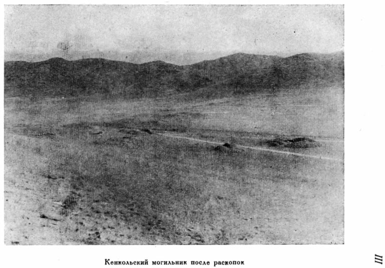
Ken-Kol is an archaeological burial ground in the Talas Valley, associated with the ancient history of the region.
Talas Region
Kirov Reservoir creates a broad water landscape in western Talas Region, contrasting with the enclosed mountain valleys farther east.
Talas Region
Manas Ordo near Talas is a memorial landscape devoted to the epic tradition of Manas, one of the central reference points of Kyrgyz cultural identity.
Talas Region
Nyldy-Ata is a group of sacred places in the Ozgorush area of Talas Region. Its significance comes from a landscape of natural features and the practices through which people recognise and care for them.
Talas Region
Otmok is the road pass connecting the Suusamyr side with the Talas valley. For many visitors it is the geographical threshold between a broad highland basin and a different regional landscape.
Talas Region
Sheker is closely associated with the childhood and literary world of Chinghiz Aitmatov.
Talas Region
Talas is the regional centre of a broad valley in northwestern Kyrgyzstan. It is useful as a place to pause between the mountain approach and the area’s cultural and natural destinations.
Talas Region
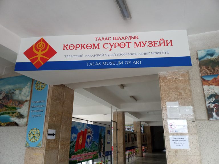
The Talas City Museum of Fine Arts is a municipal museum in Talas. Check current exhibitions and visiting arrangements before travelling.
Talas Region
Taldy-Bulak in Talas District was identified alongside Sheker in an official report on a rural cultural-tourism development project.
Talas Region
Urmaral is one of the mountain-valley directions associated with the Talas Ala-Too. It gives the visitor a chance to explore a river and pasture landscape beyond the main valley’s settlements.
Jalal-Abad Region
The Aflatun–Avletim archaeological group in Jalal-Abad Region includes settlement, burial and defensive remains.
Jalal-Abad Region
Alatai is a state nature park in Toktogul district of Jalal-Abad Region, created by a government decision in 2016.
Jalal-Abad Region
Arslanbob’s Big Waterfall is a separate outing from the better-known Small Waterfall near the village.
Jalal-Abad Region
The Small Waterfall is one of the familiar walking destinations around Arslanbob, often combined with time in the village and walnut forest.
Jalal-Abad Region
The walnut-fruit forest around Arslanbob is a living landscape connected with village households, seasonal work and local traditions.
Jalal-Abad Region
Ayub-Too is associated with the sacred and spring landscape of Jalal-Abad. The city’s official historical account records the hill, pilgrimage traditions and stories connecting the place with Ayub.
Jalal-Abad Region
Besh-Aral protects mountain ecosystems of the Chatkal Valley in Jalal-Abad Region. Official conservation material highlights its wildlife and the Menzbier’s marmot; its importance extends well beyond a scenic stopping place.
Jalal-Abad Region
The Chatkal Valley belongs to the remote western mountain landscapes of Jalal-Abad Region. It attracts travellers looking for long journeys, village stays and routes away from the country’s busier lake circuits.
Jalal-Abad Region
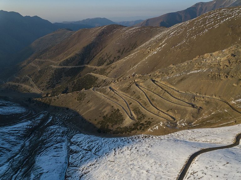
Chychkan is a river gorge on the main mountain journey between Bishkek and the south. The contrast between flowing water, wooded slopes and the road’s changing elevation makes it more than a transfer corridor.
Jalal-Abad Region
Dashman is a state nature reserve established to protect walnut-fruit forest ecosystems in the Bazar-Korgon area of Jalal-Abad Region.
Jalal-Abad Region
The Ydyrys Paygambar Mausoleum is a sacred site near Jany-Bazar in Chatkal District of Jalal-Abad Region.
Jalal-Abad Region
Kapka-Tash is a mountain lake associated with the Kara-Suu lake system in the Toktogul area of Jalal-Abad Region.
Jalal-Abad Region
Kara-Alma offers a village-based introduction to the wooded foothill landscapes of Jalal-Abad Region.
Jalal-Abad Region
This Kara-Suu Lake lies in the Toktogul mountain area of Jalal-Abad Region, in the landscape associated with Alatai Nature Park.
Jalal-Abad Region
Kulbeskhan is an archaeological settlement in Chatkal district of Jalal-Abad Region. Kyrgyzstan’s 2025 UNESCO tentative-list submission identifies it as a monument of national significance within the proposed Fergana–Syr Darya Silk Roads corridor.
Jalal-Abad Region
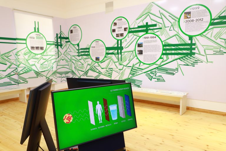
The Uranium Legacy Museum in Mailuu-Suu presents the town’s mining history and the environmental legacy that followed it.
Jalal-Abad Region
Padysha-Ata is a protected mountain area in the western Tian Shan, offering a quieter perspective on Jalal-Abad Region’s forest and valley landscapes.
Jalal-Abad Region
Saimaluu-Tash is a high mountain field of carved stones, bringing a remarkable archaeological experience into an environment that demands serious travel preparation.
Jalal-Abad Region
Sary-Chelek lies within a protected mountain landscape in Jalal-Abad Region, surrounded by wooded slopes that give it a different character from Kyrgyzstan’s open high plateau lakes.
Jalal-Abad Region
The Shah Fazil Mausoleum is part of the sacred landscape of Safed-Bulan in western Jalal-Abad Region.
Jalal-Abad Region
Toktogul Reservoir opens into a vast water landscape along the journey through central Jalal-Abad Region.
Osh Region
Abshyr-Ata is known for a waterfall emerging from a steep rock face in the Nookat area of Osh Region.
Osh Region
The Alay Valley is a broad high-altitude corridor between major mountain ranges, with long views towards the Pamir peaks.
Osh Region
Azhiadar-Unkur, also written Ashadar-Unkur, is one of the caves investigated in the Tyuya-Muyun karst area southwest of Osh.
Osh Region
The barite cave of Tyuya-Muyun belongs to the unusual mineralised karst landscape southwest of Osh.
Osh Region
Chil-Mayram is a cave in Aravan District of Osh Region. It is a separate site from Chil-Ustun.
Osh Region
Chil-Ustun is a protected cave in the Aravan area of Osh Region. The state territorial classifier identifies it separately from Chil-Mayram and from the caves of neighbouring Batken Region.
Osh Region
Chyiyrchyk is a road pass south of Osh on the approach towards the Alay region. The regional tourism strategy identifies it as a mountain recreation area on the Pamir road, making it a useful landscape stop between the city and higher valleys.
Osh Region
Dangi is a limestone canyon associated with the Aravan river and the Tyuya-Muyun karst area. Rock walls and the river cutting through the massif make it a surface landscape destination distinct from the underground sites nearby.
Osh Region
Dul-Dul-Ata in the Aravan area is known for horse images carved on rock and for its place in local sacred geography.
Osh Region
Fersman Cave, also described as the Main Lode, is a mineral locality in Tyuya-Muyun where natural cavities and historic mining passages intersect.
Osh Region
Kara-Shoro is a state nature park in the Uzgen part of Osh Region. Ministry reporting describes conservation work by its rangers, placing forest, meadow and wildlife protection at the centre of the park’s role.
Osh Region
Kojo-Kelen is a mountain village in Osh Region associated with striking red-rock scenery and access to the northern side of the Alay mountains.
Osh Region
Kosh-Bulak is a fortified archaeological settlement in the Zhazy river landscape of the Uzgen area.
Osh Region
Kulun is a remote mountain lake within a protected landscape of eastern Osh Region. It is better suited to a carefully organised journey than an improvised day trip from the city.
Osh Region
Kunelek is a village in Alay District of Osh Region. It is an inhabited reference point for journeys across the surrounding mountains.
Osh Region
Kyrgyz-Ata is a mountain nature park in Osh Region, visited for river scenery, juniper landscapes and time outdoors beyond the city.
Osh Region
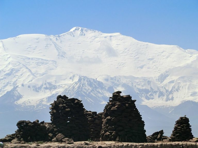
Elevation above sea level: 7,134 m
Lenin Peak is one of the great high mountains visible from southern Kyrgyzstan’s Pamir approaches.
Osh Region
Papan Reservoir lies in the Ak-Buura Valley south of Osh. Its long water body is surrounded by mountain slopes.
Osh Region
Sary-Mogol is a village in Alay District used as a base for exploring the northern approaches to the Pamir mountains.
Osh Region
Shorobashat is a major archaeological settlement in the Zhazy river area near Uzgen. Kyrgyzstan’s UNESCO tentative-list submission describes a fortified site divided into four parts, with an important early occupation dated to the fourth–first centuries BCE.
Osh Region
Surottuu-Tash at Ayrymach-Too is a rock-art site near Kyzyl-Kyshtak in Kara-Suu district of Osh Region, northwest of Osh city.
Osh Region
Surprise Cave is a named cavity in the Tyuya-Muyun area associated with the Dangi canyon landscape.
Osh Region
Tulpar-Kul is a high mountain lake destination near the northern approach to Lenin Peak, commonly reached through Sary-Mogol in the Alay Valley.
Osh Region
Tyuya-Muyun southwest of Osh is a limestone massif notable for caves, mineral deposits and historic mining.
Osh Region
Uzgen’s minaret and mausoleums are among southern Kyrgyzstan’s most important surviving examples of medieval Islamic architecture.
Osh Region
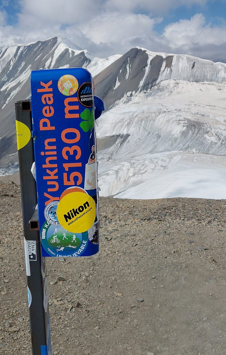
Elevation above sea level: 5,130 m
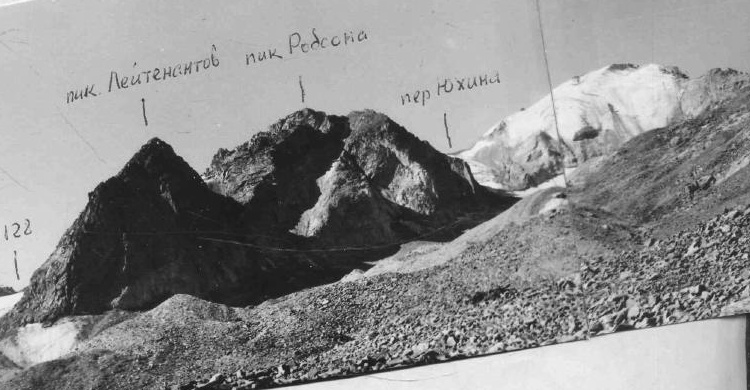
Yukhin is a separate summit in the northern approach landscape of the Lenin Peak massif. It lies above the Achik-Tash camp country on the southern side of the Alay Valley, within a high-mountain setting of moraine, scree, snow and surrounding Pamir ridges.
Batken Region
Elevation above sea level: 2,200 m
Aigul-Too is associated with the rare Aigul flower and has become a natural symbol of Batken. The most meaningful visit focuses on the protected plant habitat rather than collecting a flower or finding a guaranteed field of blooms.
Batken Region
The Ak-Suu valley of Leilek is a major high-mountain climbing landscape in Batken Region. First-person reports in the American Alpine Journal document expeditions to its large rock faces and distinguish it from other Central Asian places called Ak-Suu.
Batken Region
Kan-i-Gut is a complex underground heritage site in Batken Region. It combines natural cave spaces with passages altered or created by mining.
Batken Region
Kara-Bulak is an archaeological burial-ground site near the village of that name in Batken district.
Batken Region
Karavshin is a remote mountain destination in Batken Region, known among trekkers and climbers for dramatic rock scenery.
Batken Region
Koi-Jolu Pass is a high crossing on the southern part of the Celestial Divide bicycle itinerary.
Batken Region
Madygen is a geological landscape in Batken Region where exposed layers and eroded landforms make the deep history of the area visible.
Batken Region
Sarkent is a protected mountain area in the far southwest of Kyrgyzstan, offering a different perspective on Batken beyond its towns and geological landmarks.
Batken Region
Tortgul Reservoir adds a broad water landscape to the surroundings of Batken. It can be a worthwhile local excursion for views of the basin and nearby hills, especially when combined with a longer journey through the region.
Batken Region
Uryam is a mountain valley in the Laylak area of Batken Region, used for trekking and climbing approaches.
Bishkek
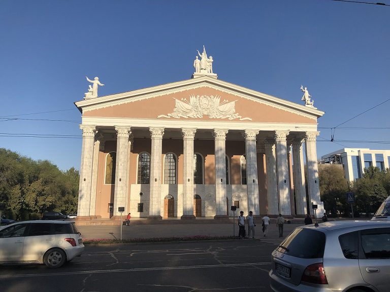
Bishkek’s opera and ballet theatre is a distinct cultural landmark on Abdrakhmanov Street. Named for composer Abdylas Maldybayev, it connects a city sightseeing walk with Kyrgyzstan’s stage traditions.
Bishkek
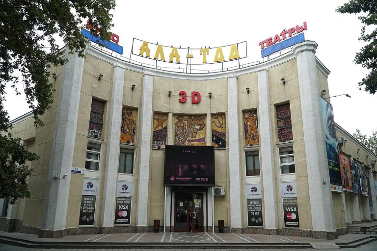
The Ala-Too cinema building stands where a walk along Erkindik meets Chuy Avenue. Bishkek’s official heritage list records it as a 1938 architectural monument.
Bishkek
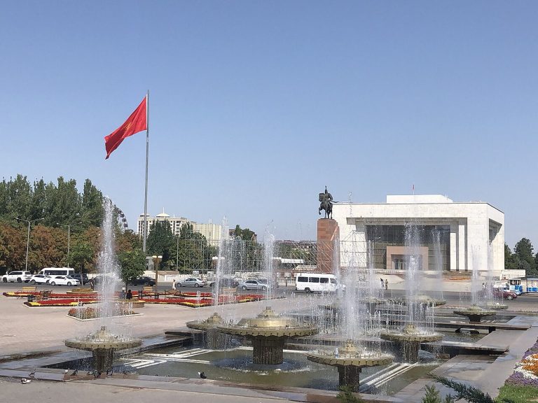
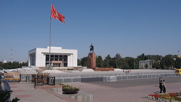
Ala-Too Square is a natural starting point for a first walk through central Bishkek. Its open space, monuments and surrounding public buildings bring national symbols and everyday city life into the same view.
Bishkek
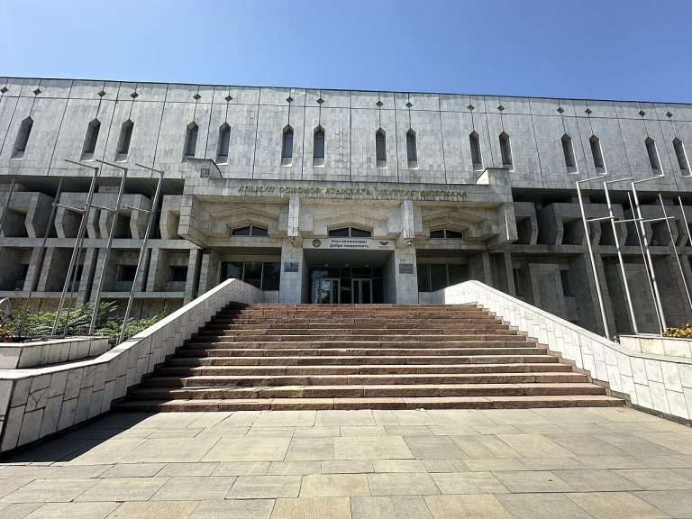
The National Library named for poet Alykul Osmonov is both a major knowledge institution and a listed building in central Bishkek.
Bishkek
Bishkek gives a journey through Kyrgyzstan an urban starting point: broad avenues, public squares, museums and everyday neighbourhood life beneath the mountains.
Bishkek
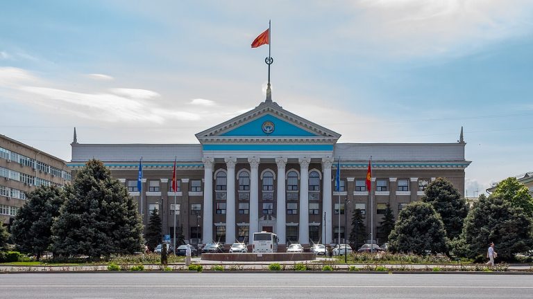
Bishkek City Hall is a listed civic building on Chuy Avenue, recorded in the city heritage register with a 1957 date.
Bishkek
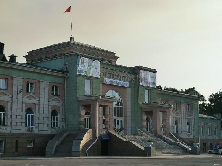
Bishkek-2 station anchors the southern end of the Erkindik boulevard axis. Its building is included in the official city heritage list, which dates it to 1938.
Bishkek
The Russian Drama Theatre occupies a listed cultural building on Tynystanov Street, close to Bishkek’s central parks.
Bishkek
The Gareev Botanical Garden belongs to Bishkek’s scientific and green heritage. Founded in 1938, it operates within the National Academy of Sciences and maintains plant collections relevant to Kyrgyzstan and regions beyond it.
Bishkek
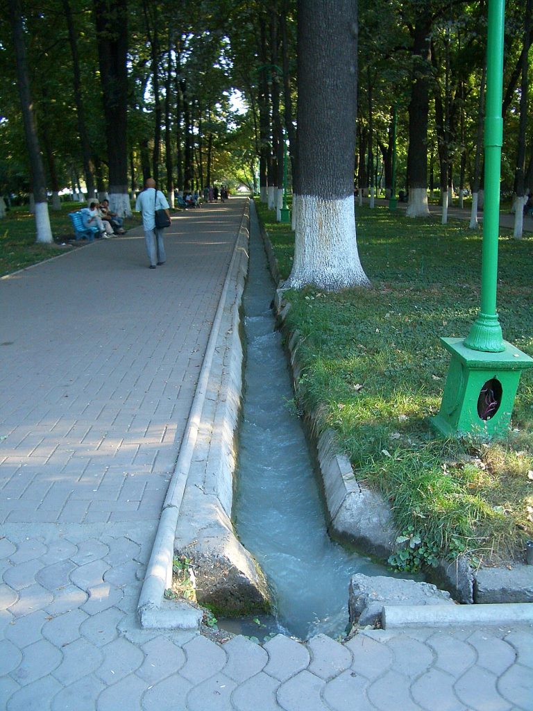
Erkindik is the tree-lined urban axis linking the railway station area with central Bishkek. The city administration’s historical account describes its changing names, including Bulvarnaya and Dzerzhinsky, before the present name meaning freedom.
Bishkek
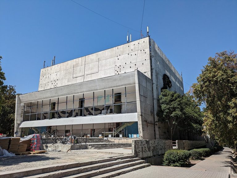
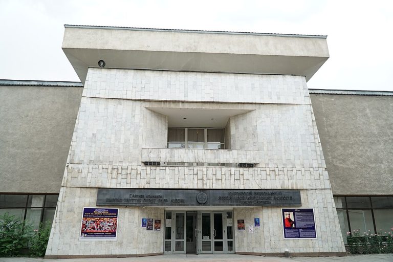
The Gapar Aitiev Museum of Fine Arts provides a cultural counterpoint to Bishkek’s public squares and outdoor monuments.
Bishkek
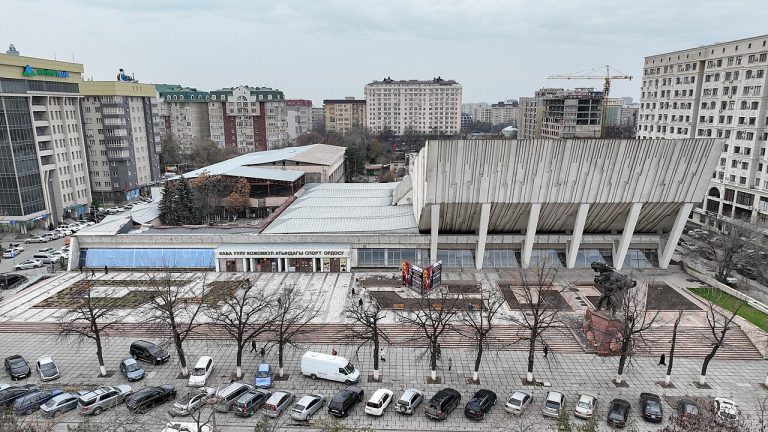
The Kozhomkul Sports Palace connects Bishkek’s sporting life with the story of a celebrated Kyrgyz strongman.
Bishkek
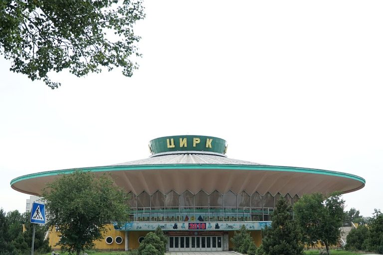
The Kyrgyz State Circus is a recognisable cultural building in the northern part of Bishkek’s centre.
Bishkek
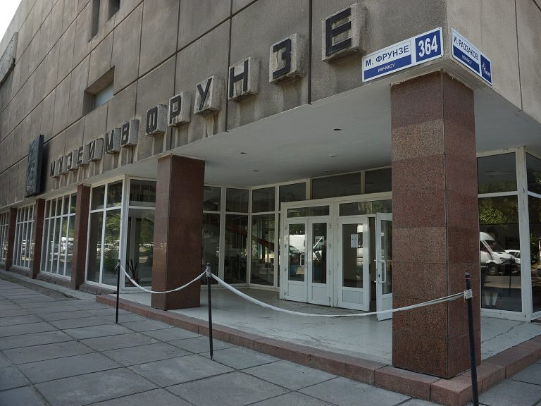
The Mikhail Frunze House Museum offers a focused encounter with Bishkek’s historical identity and the biography of the figure whose name the city bore during the Soviet period.
Bishkek
The National History Museum beside Ala-Too Square offers a place to connect Kyrgyzstan’s archaeological past, social history and national narratives before travelling around the country.
Bishkek
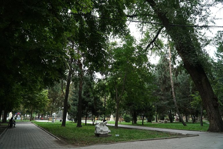
Oak Park is a historic green space in central Bishkek, also officially associated with the name of Chyngyz Aitmatov.
Bishkek
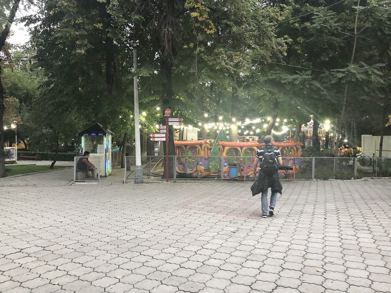
Panfilov Park is a central Bishkek green space associated with strolling, family recreation and amusement attractions.
Bishkek
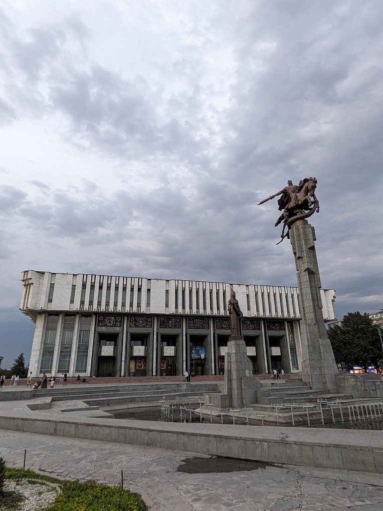
The National Philharmonic is one of Bishkek’s major music institutions and a listed cultural building on Chuy Avenue.
Bishkek
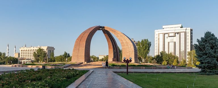
Victory Square is a memorial space in central Bishkek dedicated to the memory of the Second World War.
Osh city
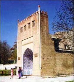
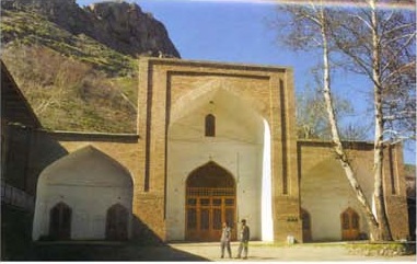
At the eastern foot of Sulaiman-Too, the mausoleum of Asaf ibn Burkhiya connects a compact architectural monument with the mountain’s wider pilgrimage history.
Osh city
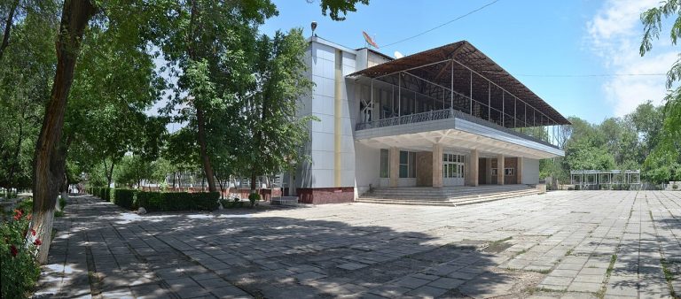
The Babur Theatre introduces Osh through its performing arts and the city’s Uzbek cultural life.
Osh city
The small building commonly called Babur’s House is one of the cultural landmarks associated with Sulaiman-Too.
Osh city
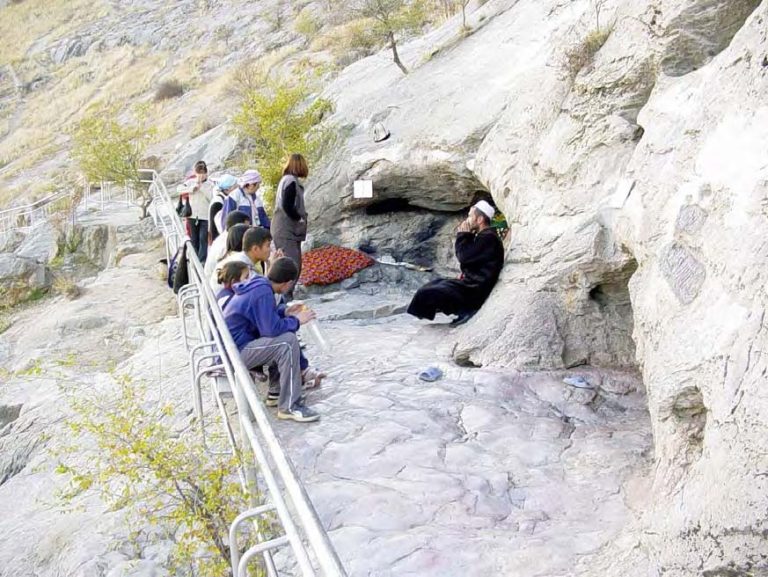
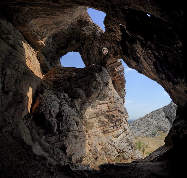
Chaka-Tamar is a named cave on the southern slope of Sulaiman-Too’s first peak. The UNESCO nomination records a worn entrance and floor and a darkened ceiling, physical traces described alongside the site’s ritual use.
Osh city
Chiltenkhana is a sacred cave on Sulaiman-Too, recorded in the UNESCO nomination on the southern and western side of the second peak.
Osh city
Eshen-Unkur is one of the individually named caves within the Sulaiman-Too sacred landscape. The UNESCO dossier locates it on the eastern side of the mountain’s third peak and records several names, including Imam-Unkur and Teshik-Tash.
Osh city
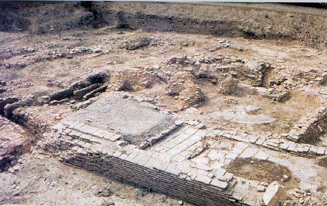
The medieval bath at the foot of Sulaiman-Too adds an urban archaeological layer to a visit usually centred on the mountain.
Osh city
Ravvat Abdullah Khan Mosque stands at the northeastern foot of Sulaiman-Too. The UNESCO nomination describes it as an important surviving architectural component of the sacred mountain’s surroundings, alongside shrines, paths and archaeological remains.
Osh city
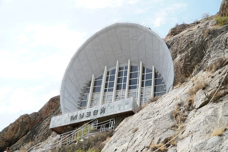
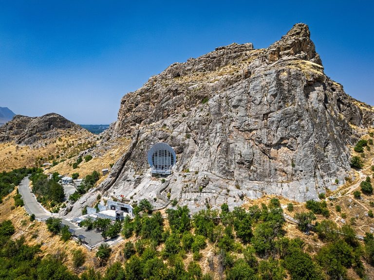
The museum associated with Sulaiman-Too gives a different perspective on Osh’s sacred mountain from the open walking paths.
Osh city
Elevation above sea level: 1,175 m
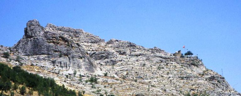
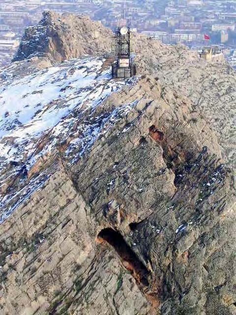
Sulaiman-Too rises within Osh as a five-peaked sacred mountain. UNESCO inscribed the cultural landscape in 2009, recognising the long interaction between a striking natural landmark and religious practice.