Chuy Region
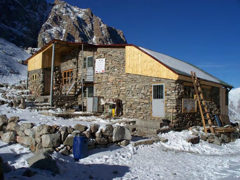
A circuit near Ratsek Hut
A 2.8 km circuit in the high mountains south of Ratsek Hut. The approach from the lower Ala-Archa Valley is not included.
ROUTE CATALOGUE
Hiking, mountaineering, road trips, cycling and horseback routes across Kyrgyzstan. Compare descriptions, maps and available GPX tracks.
Chuy Region
A 2.8 km circuit in the high mountains south of Ratsek Hut. The approach from the lower Ala-Archa Valley is not included.
Chuy / Bishkek mountains
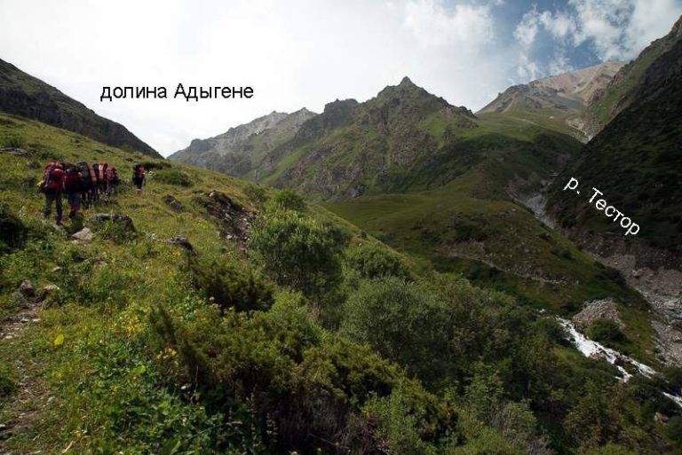
An ascent through the Adygene Valley to the lake, with an additional section beside the river.
Chuy Region
An ascent of Adygene Peak via the valley, lake and Adygene Pass. The source itinerary includes an overnight stop by the lake.
Chuy / Ala Archa
A loop through the Adygene Valley in Ala-Archa. The route explores the valley below the upper lake basin.
Chuy / Ala Archa
A mountain trail through the Adygene Valley towards its high lakes. The GPX includes a branch, so check which sections belong in your itinerary.
Issyk-Kul
A supported road-oriented bicycle connection from Ak-Sai village in Ton District to the Tuz-Kol area. The published canyon MTB outing is background for the destination, not the line reproduced here.
Chuy Region
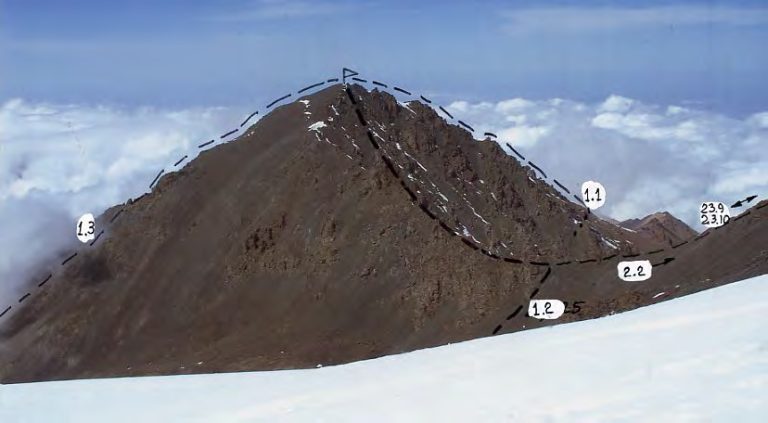
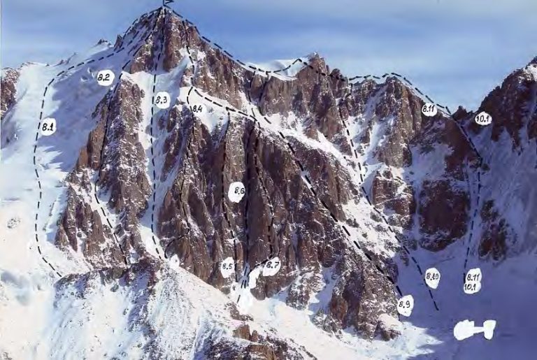
A technical ascent of Ak-Too Peak along Gavrilov’s north-face route in Ala-Archa. A GPX track is not available.
Chuy Region
A 15.6 km route from Ala-Archa to Box Peak, finishing at Ratsek Hut. The descent from the hut to the lower valley is not included.
Chuy Region
A 15.3 km track from Ala-Archa camp into the upper valley. It ends in the mountains; a return journey is not included.
Chuy Region
A 17.3 km track from Ala-Archa camp into the upper valley. It ends in the mountains; a return journey is not included.
Chuy Region
An ascent through the Adygene Valley to the lake area. The 10.2 km track ends by the lakeside; the return is not included.
Chuy Region
An ascent from the Ala-Archa and Adygene valleys to Adygene Peak. This 12.6 km track ends on the summit and does not include the descent.
Chuy Region
An ascent from Ala-Archa to Box Peak. The 13.3 km track ends on the summit; plan the descent separately.
Chuy Region
An ascent from Ala-Archa towards Gryaznova Peak. The 16.3 km track ends near the summit; plan the descent separately.
Chuy Region
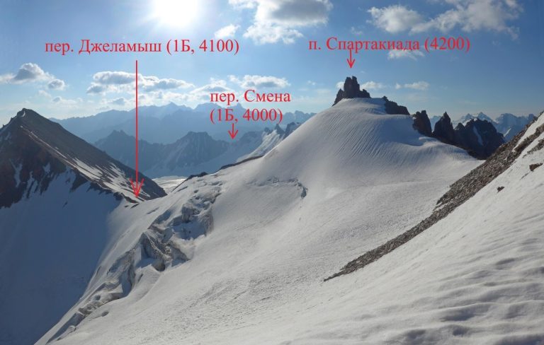
An ascent from Ala-Archa to Jalamysh Peak, continuing towards Jalamysh Pass. The 14.1 km track finishes in the high mountains.
Chuy Region
An ascent from Ala-Archa camp via Violet Pass towards Komsomolets Peak. The 7.2 km track ends about 90 metres from the mapped summit; the return is not included.
Chuy Region
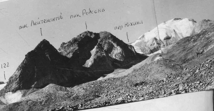
A 19.4 km ascent from Ala-Archa towards Robson Peak via Keldy-Choku Pass. The track ends near the summit; plan the descent separately.
Chuy Region
An alternative 20 km ascent from Ala-Archa towards Robson Peak via Keldy-Choku Pass. The descent is not included.
Chuy Region
An ascent from Ala-Archa towards Taranova Peak. The 15.7 km track ends near the summit; the descent is not included.
Chuy Region
An 11.7 km ascent from Ala-Archa towards Znachkistov Peak. The track ends beyond the summit area; the descent is not included.
Chuy Region
An 11 km approach up the Ala-Archa Valley towards a spur near Meteostantsii Peak. The track does not reach the mapped summit or include a return.
Chuy / Kyrgyz Ala-Too
A mountain traverse between Alamedin and Ala-Archa, including glacier terrain. The route requires mountaineering preparation.
Chuy / Kyrgyz Ala-Too
A high mountain crossing between Alamedin Gorge and Issyk-Ata. Plan the pass crossing and check current mountain conditions.
Kazakhstan / Kyrgyzstan
A 683 km travel track from Almaty to the valley north of Kel-Suu. It ends before the lake; the vehicle or activity type is not confirmed.
Issyk Kul / Karakol mountains
A trek from Altyn-Arashan through the Keldike Valley and Ala-Kul towards Karakol Gorge.
Chuy Region
A 3.9 km approach towards Kashka-Suu-Bashi Peak, ending about 100 metres from the mapped summit. The return is not included.
Issyk Kul / Jeti Oguz
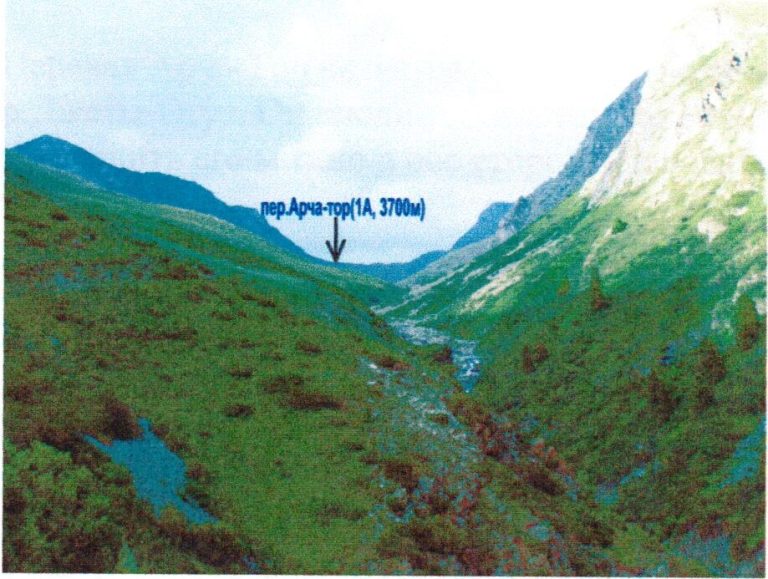
A mountain crossing over Archa-Tor Pass west of Karakol. Plan the valley approaches and return transport separately.
Jalal-Abad
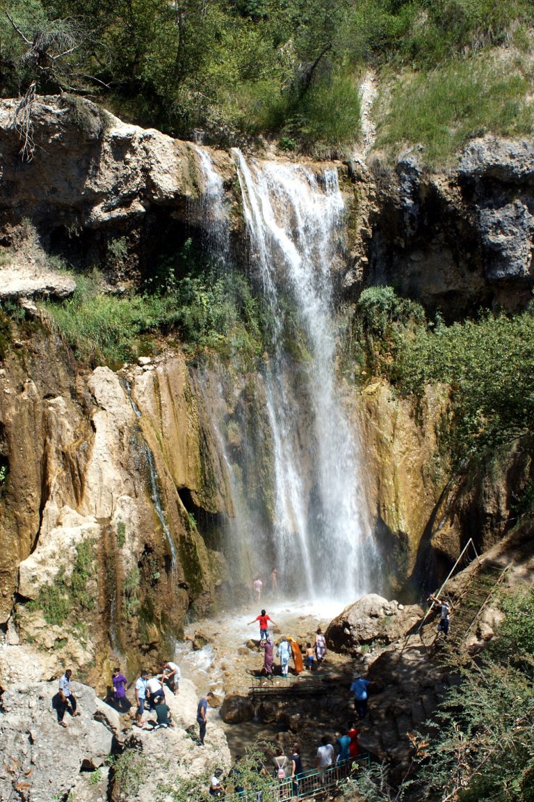
A locally guided day around Arslanbob, combining riding through the village and walnut-forest surroundings with a waterfall visit selected for the group. Stay in the village before and after the outing.
Jalal-Abad Region
A substantial day on foot from Arslanbob’s Small Waterfall through walnut woodland and higher village panoramas.
Chuy Region
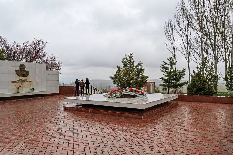
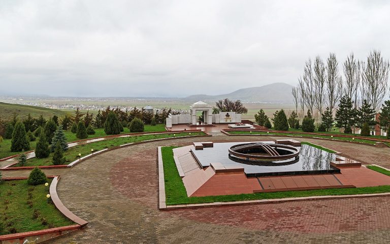
A focused visit from Bishkek to the memorial grounds and available exhibitions of Ata-Beyit, allowing time for history and quiet remembrance.
Chuy Region
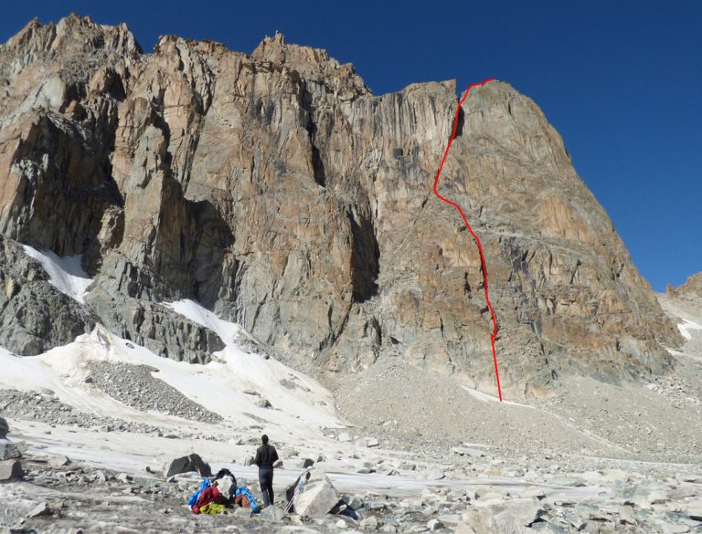
Crêuza de Mä is a west-face rock route on Baichechekey Peak, joining the Shvab route. The report describes 550 metres of climbing. A GPX track is not available.
Issyk-Kul south shore
Follow Issyk-Kul’s south shore from Balykchy to Skazka and the lower Barskoon visitor approach. Park for the canyon and waterfalls; high passes and upper industrial roads are excluded.
Issyk-Kul and Naryn Regions
A shorter motorcycle journey from Balykchy through the Orto-Tokoy corridor to a Kochkor overnight. Keep reservoir stops on confirmed public ground and arrange any craft visit before arrival.
Issyk-Kul
Climb from Barskoon village into the gorge and leave the bicycle at a suitable roadhead for the waterfall walk. This out-and-back stops in the lower gorge and does not continue to the Arabel plateau or mine roads.
Naryn Region, At-Bashy
Walk up the Bash-Kaindy valley to the Shaar waterfall basin on a full mountain day, returning along a locally confirmed safe path.
Batken Region
A Batken-based road day visiting allowed viewpoints near Tortgul and the village roads below Aigul-Too. Reserve entry, rare-flower viewing and access to water infrastructure are separate permissions.
Chuy Region
An ascent towards Beshalchalutash from Chunkurchak, through forest, meadows and upper rocky terrain.
Chuy Region
An approach to Beshalchalutash from Chunkurchak through forest, meadows and scree.
Chuy, Issyk-Kul and Naryn
Malik Alymkulov’s published bikepacking route links Bishkek with Issyk-Kul-side valleys and Kochkor before a high crossing back to the capital. The source GPX is retained as a historical route with demanding walking sections.
Chuy Valley
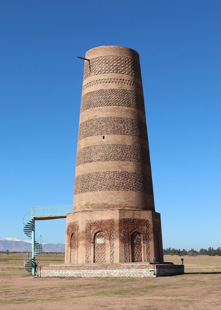
Follow the Chuy plain from Bishkek to three Silk Road city sites, with Burana as the main visit. This is a heritage road day with short walks, ending in Tokmok before the separately planned return.
Chuy foothills
A Chuy foothill itinerary pairing the Issyk-Ata resort approach with lower Kegety. Link the valleys by their public valley roads, with bathing, waterfall walks and overnight stays arranged as separate activities.
Chuy and Talas Regions
A domestic mountain-road motorcycle journey from Bishkek through the active Too-Ashuu tunnel and Otmok to Talas. Make the high crossings their own stages and confirm overnight stops before riding.
Chuy Region
Trade Bishkek’s streets for a night in a Chon-Kemin village, using a confirmed guesthouse as the road endpoint. The next morning is reserved for a locally arranged valley walk or horse outing.
Chuy and Jalal-Abad Regions
Cross the northern mountains through the Too-Ashuu tunnel and Suusamyr, then continue over Ala-Bel and down Chychkan to Toktogul. Split the journey with an overnight instead of treating a mountain highway as a fixed-time transfer.
Chuy and Jalal-Abad Regions
Ride the active mountain highway through the Too-Ashuu tunnel, Suusamyr and Chychkan to Toktogul. Split the journey into manageable stages and keep reservoir viewpoints to confirmed public approaches.
Bishkek and Chuy foothills
A foothill day combining the national memorial at Ata-Beyit with the Ala-Archa entrance. Leave the car at the permitted external parking and make the park visit by its current transport and walking arrangements.
Bishkek
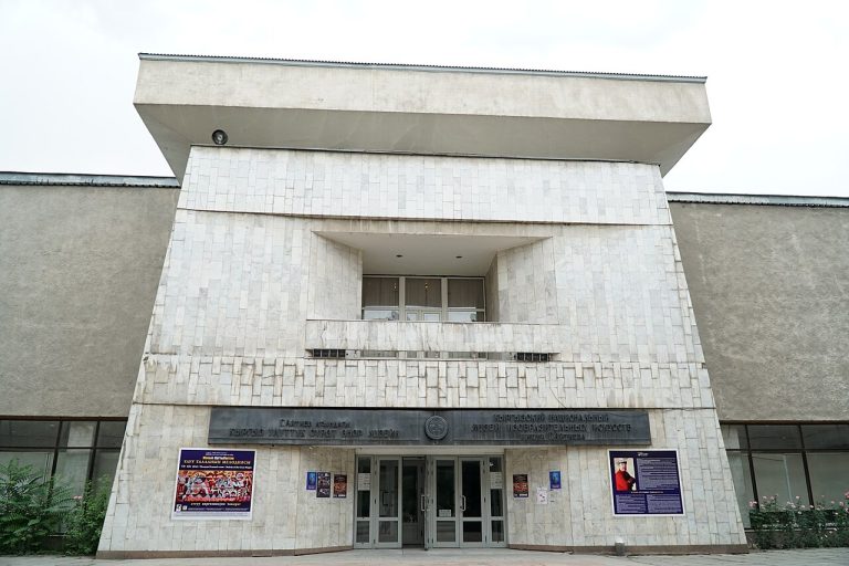
Start at the Gapar Aitiev National Museum of Fine Arts on Abdrakhmanov Street.
Bishkek
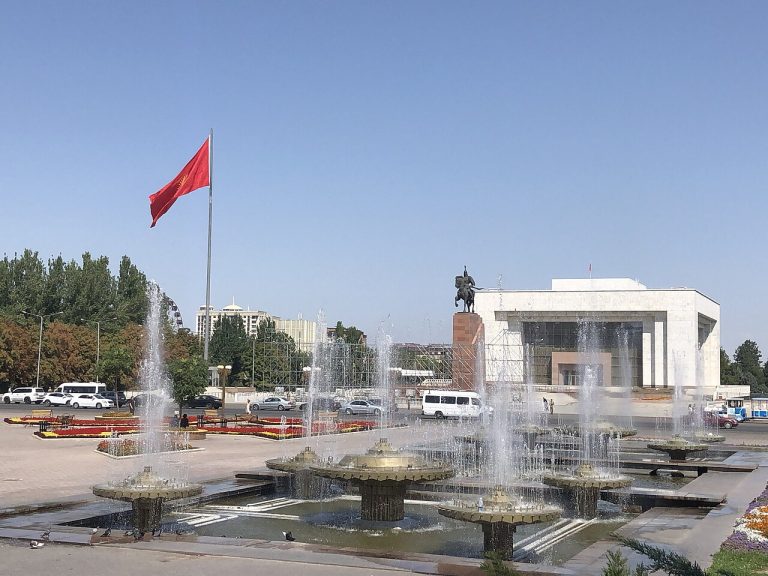
Begin on Ala-Too Square and use the open space to understand how Bishkek presents public life and national memory.
Chuy Region
An ascent to Box Peak from Ratsek Hut, crossing the Ak-Sai Glacier and climbing a scree gully. A GPX track is not available.
Chuy / Ala Archa
A trail to the Boyrok birch grove near Ala-Archa. The track shows one direction of travel.
Chuy / Bishkek mountains
A descent from the Boyrok birch grove towards the road above Kashka-Suu, continuing to its southwest bend.
Chuy
Combine a visit to Burana with an eastbound ride through the settled Chuy Valley. A local cycling operator uses this secondary-road corridor; the map is an editorial road variant with a finish in Kemin.
Chuy Region
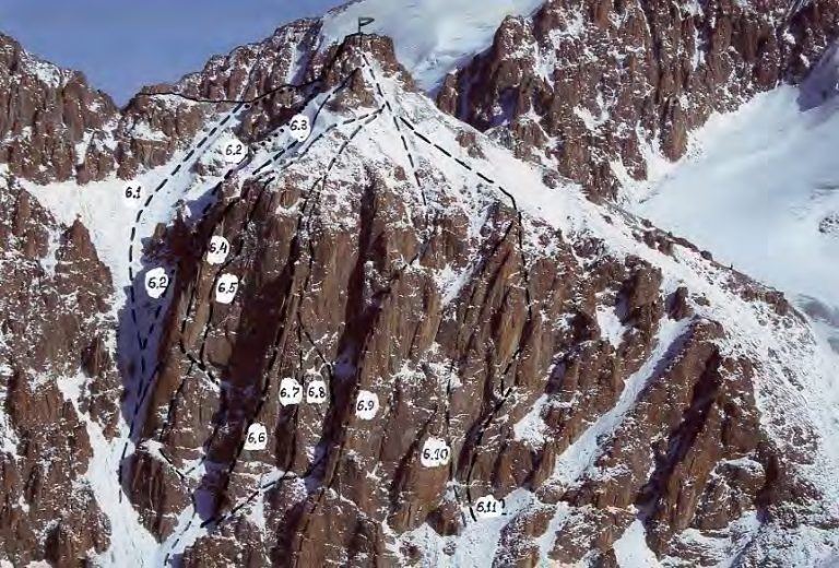
Roulette Kyrghiza is a 330-metre east-face rock route above Uchitel Glacier. Chiavari is the expedition team’s informal summit name. A GPX track is not available.
Issyk-Kul north shore
Two separate lower-gorge visits from the Issyk-Kul north shore, returning to the coastal road between them. This plan avoids relying on the higher mountain link between Grigoriev and Semenov valleys.
Issyk-Kul Region
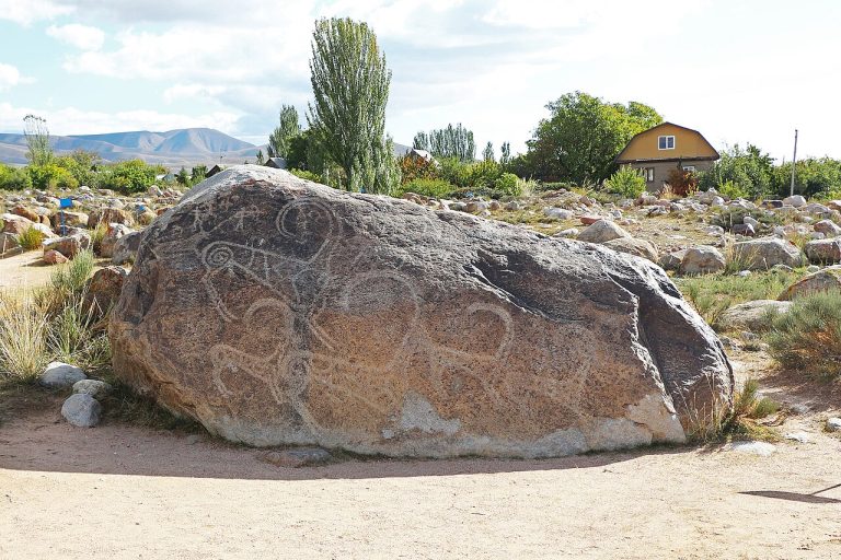
Begin at the petroglyph field above Cholpon-Ata, where ancient images survive on scattered boulders.
Chuy
A short guided introduction to riding in the inhabited Chon-Kemin valley, with a return to your local base. The exact outing is chosen with the horse team according to experience, weather and the day’s ground conditions.
Chuy
A flexible ride between villages in the lower Chon-Kemin valley, returning to the same guesthouse. It is a low-valley road option inspired by local cycling programmes, with no crossing toward Issyk-Kul.
Issyk Kul / Jeti Oguz
A mountain crossing between the Chon-Kyzyl-Suu and Jeti-Oguz valleys. Check the route branches when planning the crossing.
Chuy Region
A 3.6 km ascent from the Chong-Aryk settlement area towards the summit of the same name. The return is outside this track.
Chuy / Ala Archa and nearby ranges
The final ridge section to Dyadyuchenko Peak, also known as Beshalchalutash. The short track covers only the summit approach.
Chuy Region
An ascent of Elektro Peak from the lower Adygene Valley, followed by a descent. The 18.8 km track finishes at a different point in the lower valley.
Chuy Region
A 4.6 km ascent and descent on Elektro Peak from the upper Adygene Valley. The lower approach is outside the track.
Chuy Region
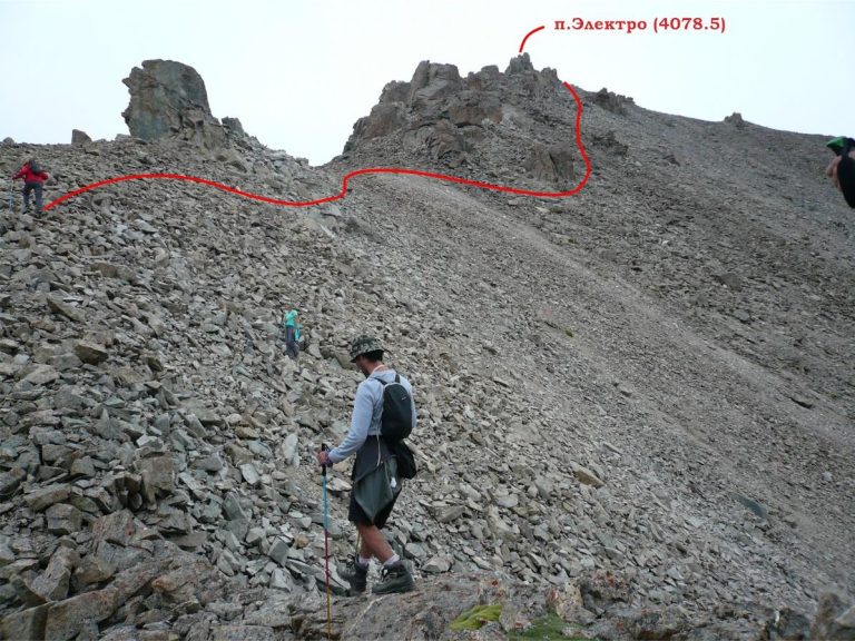
An ascent of Elektro Peak from the Adygene camp area, over scree and the southeast rock ridge, returning the same way.
Chuy / Ala-Archa, Ak-Sai
Free Korea rises above the upper Ak-Sai Glacier. Heights of 4,740 m and 4,777 m occur in climbing literature. The Lowe line is a separate ice route, reported as 5A; it must not be confused with the Andreev northwest-face entry or Barber…
Issyk Kul / Karakol mountains
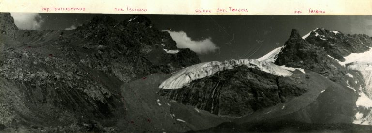
A high mountain circuit in the Gastello area above Karakol Gorge, in the Terskey Ala-Too. Plan for glacier terrain and changing snow conditions.
Chuy Region
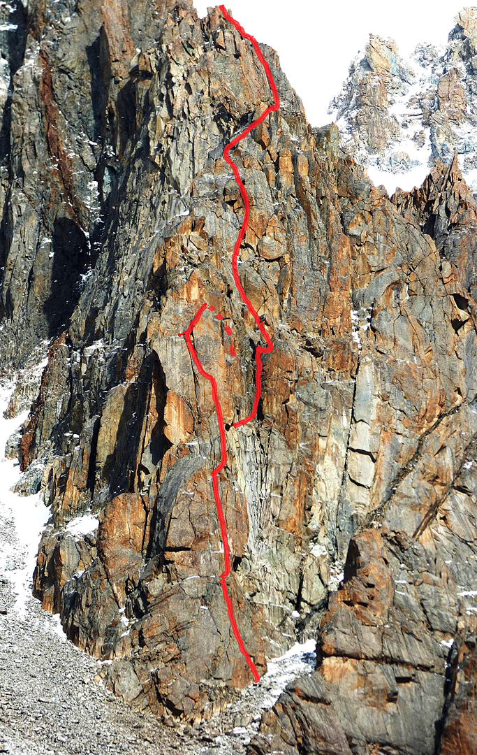
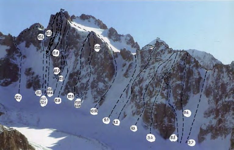
A 330-metre south-pillar climb on Tower Gymnica 2000, between Uchitel and Baichechekey in Ala-Archa. A GPX track is not available.
Issyk-Kul Region
A complete cycling circuit from Balykchy through Cholpon-Ata, Karakol and the southern shore. Plan several days for riding, lakeside stops and village stays, with additional time for detours.
Issyk-Kul Region
An east-to-west traverse through the Grebeshki mountain area near Issyk-Kul. A GPX track is not available.
Kyrgyzstan
A road trip around Issyk-Kul via the Boom Gorge, Cholpon-Ata and Karakol, with stops on both shores.
Kyrgyzstan
A motorcycle journey from Issyk-Kul’s southern shore towards Tash Rabat and the high pastures of Naryn Region.
Chuy / Ala-Archa, Ak-Sai
Izyskatel is a summit of the Ak-Sai climbing area near the Korona group. The classifier lists it at 4,400 m and identifies the northwest face as a 3B ice-and-rock route first climbed by A. Rodikov in 1988. This is a specific technical…
Issyk Kul / Karakol
A trek from Jeti-Oguz through the Karakol mountains towards Ala-Kul Lake.
Issyk Kul / Karakol mountains
A longer trek from Jeti-Oguz through the Telety area to western Ala-Kul, including the Panoramny approach and return stages.
Issyk Kul / Jyrgalan
A trek from Jyrgalan towards Boz-Uchuk through the valleys of the eastern Tian Shan.
Kyrgyzstan
A horse ride from Jyrgalan through mountain pastures to Turnaluu-Kol Lake.
Batken Region
A prearranged exterior visit to the cave-mine landscape, interpreting geology and historic mining without entering underground workings.
Issyk-Kul Region
A mountain journey via Kara-Beltek and Grebeshki to Arashan and Ak-Suu in the eastern Issyk-Kul mountains. A GPX track is not available.
Southern Kyrgyzstan
A 94.6 km mountain track from Kara-Suu District towards Kunelek in Alay District. Its intended mode of travel is not confirmed.
Issyk Kul / Karakol
A mountain journey linking Karakol Gorge, Ala-Kul Lake, Altyn-Arashan and Ak-Suu. The high pass is a key part of the itinerary.
Issyk-Kul Region
A mountain circuit through Karakol Gorge, Ala-Kul Lake and Altyn-Arashan. Plan camps and the high-pass crossing in advance. A GPX track is not available.
Issyk Kul / Karakol
A circular section in Karakol Gorge. The track does not include the full approach from Karakol or the park entrance.
Kyrgyzstan
A city walk through Karakol’s religious landmarks and historic streets, with time to explore local food traditions.
Issyk-Kul
A summer road climb from Karakol toward its ski-base area, returning by the access road. This road variant is separate from the published technical MTB loop around the mountain.
Kyrgyzstan
A road excursion from Karakol to the Seven Bulls and Broken Heart rocks at Jeti-Oguz, with time for a walk in the valley.
Issyk-Kul
Reach the mountain-biking village of Jyrgalan on its public-road approach from Karakol. This is a road connection with an overnight finish, rather than an attempt to ride the high trekking passes between the valleys.
Issyk-Kul Region
A short motorcycle journey from Karakol to a guesthouse in Jyrgalan, using the public village-road approach. Keep ridge tracks and mountain-bike trails outside the base ride.
Issyk-Kul Region
A road journey from Karakol through Tyup to the San-Tash stone monument, with an optional museum visit near the lake. Finish at the monument’s lower approach; border and high-valley extensions are separate.
Issyk-Kul Region
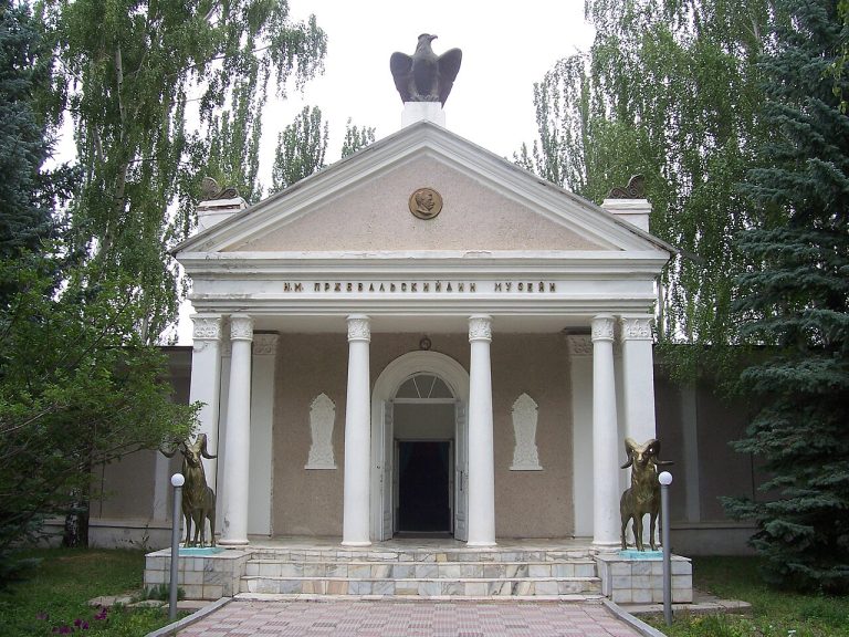
Leave Karakol for a focused visit to the Przhevalsky museum and memorial grounds near Pristan-Przhevalsk.
Issyk Kul / Karakol mountains
An extended trek through the Karakol mountains, Ala-Kul and Altyn-Arashan, with repeated valley sections.
Issyk Kul / Karakol mountains
A trek between Karakol and Jeti-Oguz via Telety Pass. The itinerary includes repeated approach sections.
Chuy Region
A 14.5 km approach towards Kompartiya Kirgizii Peak, also mapped as Karauldy. The track ends near the summit and does not include the descent.
Naryn Region
An outward-and-return route from the valley north of Kel-Suu to the lakeside viewpoint area. The track covers 21.9 km.
Chuy Region
The upper ascent from Ken-Tor towards Kompartiya Kirgizii Peak. This 3.6 km section does not include the full valley approach or descent.
Issyk Kul / Jyrgalan
A circular hiking route near Jyrgalan. The GPX includes the approach to the Keskenkiya loop.
Central Tian Shan / South Inylchek
Khan Tengri is the pyramidal summit above the Inylchek glaciers on the frontier of Kyrgyzstan, Kazakhstan and China. The classifier gives the rock summit as 6,995 m; expedition programmes use 7,010 m including its snow and ice cap. This…
Chuy / Ala Archa and nearby ranges
A traverse across KNU Peak in the Adygene area. The path is informal and can be difficult to follow.
Naryn and Jalal-Abad Regions
A multi-day valley motorcycle journey from Kochkor through Kyzart, Chaek and lower Aral to Kazarman. The plan avoids a Song-Kul pass and leaves onward mountain or tunnel connections outside its scope.
Naryn Region
A summer motorcycle approach from Kochkor over Kalmak-Ashuu to a mapped road near Song-Kul’s northern shore. The final track and any yurt overnight need current local confirmation.
Naryn Region
Book a meeting with Kochkor’s felt makers to compare shyrdak and ala-kiyiz, see work in progress and understand the people behind the objects.
Naryn
A guided horseback lake visit based at an arranged Kok-Kyia camp, with return to camp. Treat road access, accommodation and current entry arrangements as separate parts of the plan.
Chuy / Kegeti
A hiking route in the Kok-Moynok area of the Chuy mountains. Check the connected trail sections before choosing your walk.
Kyrgyzstan
A motorcycle loop through the Kokomeren Valley, Song-Kul and the Naryn area, combining main roads and mountain sections.
Naryn
A two-day guided horse journey from the Kochkor area to Kol-Ukok, with a yurt night and a separate village transfer. The higher Kol-Tor extension is optional and outside the core plan.
Chuy Region
A 3.4 km descent from Kompartiya Kirgizii Peak towards Ken-Tor. The onward journey to the lower valley is outside the track.
Chuy Region
A two-summit ridge traverse linking Komsomolets and Pioneer in Ala-Archa. The reported grade applies to the complete traverse. A GPX track is not available.
Chuy Region
An ascent from Ala-Archa to Komsomolets Peak via Violet Pass, returning close to the starting point. The track covers 15.8 km.
Chuy / Ala Archa
A recorded ascent of Komsomolets Peak in Ala-Archa, including the return journey. Check current snow and trail conditions before using the track.
Chuy / Ala Archa and nearby ranges
The upper section of an ascent to Komsomolets Peak. Plan the lower approach and descent as separate stages.
Chuy Region
An ascent from Ala-Archa to Komsomolets Peak via Tepshi and Violet Pass. This approach is separate from the Ratsek Hut trail.
Chuy / Ala-Archa, Ak-Sai
Korona is a multi-towered mountain above the Ak-Sai basin in Ala-Archa. This entry concerns the Second Tower, listed at 4,750 m in the classifier, and its western route. It is distinct from the Third Tower itinerary already in the…
Chuy Region
An ascent of Korona’s Third Tower from Korona Hut, crossing the glacier and upper rock sections. A GPX track is not available.
Naryn
A guided southern approach to Song-Kul from Kurtka, with a Kaindy-Bulak yurt night and a separately arranged road departure toward Kochkor. It is distinct from the Kyzart–Kilemche horse route.
Kyrgyzstan
A guided horse trek from the Kyzart area through Kilemche to Song-Kul, with an overnight yurt stay in the lake basin.
Issyk-Kul
A guided three-day horse journey linking the red rocks of Jeti-Oguz with the forests and pastures of Chon-Kyzyl-Suu. Nomad’s Land publishes it as the Milky Spring Loop, with accommodation adapted to the season.
Kyrgyzstan
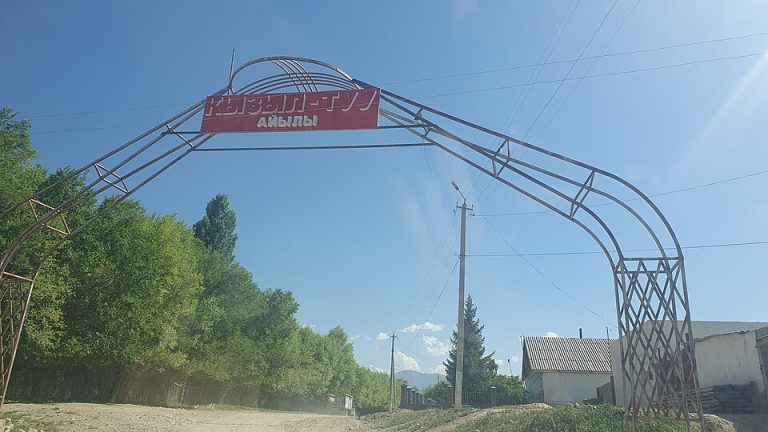
A visit to Kyzyl-Tuu on Issyk-Kul’s southern shore to learn about yurt-making and meet local craftspeople.
Issyk-Kul Region
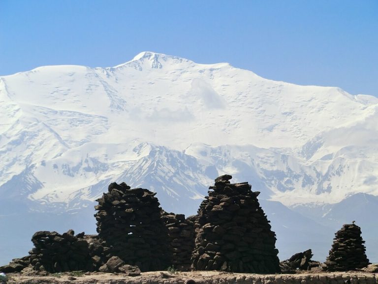
The northern route to Lenin Peak via Achik-Tash, Lenin Glacier and Razdelnaya. This is a high-altitude expedition ascent. A GPX track is not available.
Osh / Alay
A high-altitude expedition traverse via Yukhin, Razdelnaya and Lenin Peak, with a descent towards Lipkin Rocks.
Batken / Karavshin, Kara-Suu valley
Italian Corner is a west-face route on Little Asan, a roughly 3,900 m summit in the Kara-Suu branch of Karavshin. The first-person 2015 account separates about 150 m of couloir approach from 380 m of climbing up to 6b+. It is not a…
Jalal-Abad Region
A highway motorcycle journey from Manas, the former Jalal-Abad, through Tash-Kumyr and Kara-Kul to Toktogul. Stay on public through-roads and separate reservoir views from restricted infrastructure.
Chuy / Ala Archa and nearby ranges
A ridge section linking Marechek, A. Bondarenko and Krasnaya Gorka. The track does not include the full approach from the valley.
Naryn Region
A return day ride from Naryn into the Eki-Naryn river country, using a confirmed village road. Keep the confluence and any opposite-bank tracks as separate, locally checked visits.
Naryn Region
A short Naryn-based drive to the lower Salkyn-Tor visitor landscape, leaving time for a locally agreed nature walk. Current park entry, road access and the parking point are confirmed separately.
Naryn Region
A staged journey from Naryn across the At-Bashy valley to Koshoy-Korgon and the stone caravanserai of Tash Rabat. Stay in the valley when a camp is confirmed and keep the final approach conditional on road conditions.
Naryn Region
A short regional motorcycle journey from Naryn through At-Bashy to the Tash Rabat valley. Separate the ride from the historic-site walk and confirm a warm overnight before taking the final valley road.
Naryn
An out-and-back bicycle road approach from Naryn to the lower Salkyn-Tor entrance area. Keep the upper river trail as a separately planned walking activity.
Osh and Jalal-Abad Regions
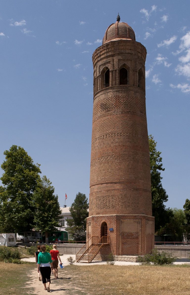
Combine a stop at Uzgen’s monuments with a motorcycle journey to a guesthouse in Arslanbob. Leave a separate day for forest walks and keep the bike on confirmed village roads.
Osh Region
A full road day from Osh to the lower approach of Abshyr-Ata. Leave the vehicle before the confined gorge and visit the waterfall on foot only when local conditions allow.
Jalal-Abad Region
A road journey from Osh to a village base in Arkyt, leaving a full day for the Sary-Chelek reserve. The driving endpoint is the village; lake access and forest walks are confirmed separately.
Osh Region and Alay
Climb from Osh through Chyiyrchyk and Taldyk to the open Alay valley, finishing in Sary-Mogol. A village overnight keeps Tulpar-Kul and the Lenin Peak foothills as separately arranged mountain excursions.
Osh Region and Alay
Ride from Osh over Chyiyrchyk and Taldyk into the Alay valley, finishing in Sary-Mogol. A village stay leaves room to rest before any separately arranged mountain excursion.
Osh and Jalal-Abad Regions
Connect Uzgen’s medieval monuments with a village stay beside Arslanbob’s walnut forests. Drive to a confirmed village address and give the forest and waterfalls their own walking day.
Osh
Sulaiman-Too should be approached as a living sacred landscape within Osh.
Issyk-Kul Region
An approach to Palatka Peak from Altyn-Arashan via Chon-Uzen and Khatidja Pass. The summit stage involves roped glacier travel. A GPX track is not available.
Chuy Region
An ascent of Pioneer Peak via Violet Pass in Ala-Archa, returning to the lower valley. The track covers 13.8 km.
Chuy Region
An ascent to Pioneer Peak in Ala-Archa via Violet Pass, with a return along the mountain approach. A GPX track is not available.
Chuy Region
A high mountain approach from Ratsek Hut towards Uchitel Glacier in Ala-Archa. A GPX track is not available.
Chuy Region
A technical ascent of Ratsek Peak along Balykin’s north ridge. This is a summit climb above the Ratsek Hut area. A GPX track is not available.
Chuy Region
An eastern ascent of Ratsek Peak from Uchitel Glacier, described by the first-ascent team. A GPX track is not available.
Chuy Region
The upper ascent towards Robson Peak via Keldy-Choku Pass. This 2.6 km section does not include the lower approach or descent.
Batken / Karavshin, Ak-Suu valley
La Fiamma d’Oriente is a separate line on Pik Slesova, the Russian Tower of the Karavshin Ak-Suu valley. Nik Berry’s account describes a 19-pitch free ascent in 2012 with Madaleine Sorkin, including a sparsely protected 5.12c R crux.…
Batken / Karavshin, Ak-Suu valley
Perestroika Crack follows the Russian Tower, also called Pik Slesova, in the Ak-Suu branch of Karavshin. The reported summit height is 4,240 m. Published ascents describe a long crack-climbing line; the 2015 team reports about 800 m at…
Jalal-Abad
A supported horse journey from Arkyt through the lake-and-forest country around Sary-Chelek. Published local programmes provide a basis for organising the trip; this map marks the area without drawing an unverified mountain trail.
Jalal-Abad Region
Explore Sary-Chelek’s smaller southern lakes and wooded slopes from the real road-end parking area.
Osh
Follow the settled Alay valley west from Sary-Mogol toward Daroot-Korgon, with the Trans-Alay mountains on the skyline. The corridor is the road stage of a local cycling programme, suitable as a separate overnight journey.
Osh
A supported horse journey from Sary-Mogol toward the lakes and camps beneath the Trans-Alay mountains. The lake-and-village anchors identify the area; your local horse guide chooses the actual trail and return.
Osh / Alay
A mountain route section in the Sary-Mogol area of the Alay Range. Check the extent of the available track before planning a longer journey.
Chuy Region
A 13.3 km descent from the Savatar-Bashi summit area towards the lower Ala-Archa Valley. The ascent is not included.
Chuy Region
A northwest-face ascent of Semenov Tian-Shansky Peak from Uchitel Glacier, over snow, ice and upper rock. A GPX track is not available.
Naryn / Song Kul
A multi-day walking itinerary through the southern approaches to Song-Kul and the Kara-Keche area, including repeated sections.
Issyk-Kul Region
This south-shore itinerary follows local collections rather than a sequence of landscape viewpoints.
Chuy and Naryn
A village-to-village ride from the open Suusamyr basin into the red-sided Kokomeren valley. The road corridor appears in local cycling programmes; this version finishes in Kyzyl-Oi and leaves the high passes for another trip.
Talas Region
Use Talas as the practical starting point for a cultural day devoted to the Manas epic.
Talas Region
A westward journey from Talas through the Kyzyl-Adyr area to Sheker, Aitmatov’s home village. Add a Kirov Reservoir viewpoint only where public access and a legal stopping place are confirmed.
Talas
A valley-road ride from Talas toward the lower entrance of Besh-Tash, with the option to turn back early. The high lake and the pass toward Toktogul are separate undertakings and are excluded from this outing.
Talas Region
A Talas-based journey pairing the Manas Ordo memorial with the lower Besh-Tash approach. Keep the high lake for a separately prepared mountain trip and use the city as a comfortable overnight base.
Naryn
CBT Naryn’s published day horse ride starts at Tash Rabat and returns after a mountain outing toward Panda Pass. Combine the ride with the caravanserai, leaving enough time for a briefing and an unhurried return.
Chuy / Alamedin
An approach to Teketor Waterfall in the mountains south of Bishkek. The track covers the outward trail; plan the return separately.
Kyrgyzstan
A north-to-south bikepacking route from Bishkek through Kyrgyzstan’s interior to the Alay Valley and Sary-Tash.
Kyrgyzstan
A bikepacking journey from eastern Kyrgyzstan towards Bishkek, through interior valleys and mountain passes.
Jalal-Abad
A supported multi-day horse crossing from the Toktogul side through lake and mountain country to Arslanbob. Agree one current provider itinerary, with camp support and onward travel kept explicit.
Jalal-Abad
A road-oriented cycling day between Toktogul and Torkent, inspired by the local CBT bicycle outing. Arrange a village pickup or plan a separate riding return, with time for reservoir-country scenery.
Chuy Region
The DHI section of Tour de Ortosai 2026 in the Ortosai foothills. This 1.34 km track covers one direction of travel.
Chuy Region
A 15.6 km circuit in the Ortosai foothills, supplied as lap 2.0 of Tour de Ortosai 2026.
Chuy Region
The UHI section of Tour de Ortosai 2026 in the Ortosai foothills. This 1.58 km track covers one direction of travel.
Naryn Region
A 19.8 km track through the Jumgal area towards Chaek from the southeast. It ends outside the settlement; the mode of travel needs clarification.
Osh Region, Chon-Alay
A high-altitude day from the Tulpar-Kul yurt camps towards broad Pamir views, with an optional and conditions-dependent turnaround.
Chuy Region
An ascent and descent of Turdakun Usubaliev Peak, also known as Spartak. The 13.3 km track returns close to its starting point.
Chuy Region
A 2.9 km mountain approach in the Tuyuk-Suu area. The supplied GPX is named for a grotto below the glacier; its entrance is not independently identified.
Chuy Region
An ascent to Uchitel Peak from Ratsek Hut. The upper section follows a sustained scree slope.
Chuy Region
A 2 km upper ascent to Uchitel Peak from the Ratsek area. Plan the lower approach and descent separately.
Chuy / Ala Archa and nearby ranges
The upper ascent to Uchitel Peak from the Ratsek Hut area. The lower approach from Ala-Archa is outside this track.
Chuy / Ala-Archa
This high ridge links Uchitel and Baichechekey above Ratsek Hut. It is a traverse of two summits, not the normal ascent of Uchitel. Published descriptions use heights around 4,527 m and 4,515 m respectively; other maps differ. The…
Chuy Region
A journey up the Ala-Archa Valley towards the former ski base in the upper mountains. A GPX track is not available.
Osh Region
Compare Uzgen’s minaret and mausoleums with the earthen settlement landscape of Shorobashat on a focused archaeology day.
Issyk-Kul Region
A mountain outing to the Yrdik lakes south of Karakol, in the Terskey Ala-Too. A GPX track is not available.
Osh / Alay
A high-altitude circuit from the Lenin Peak base camp area to Yukhin Peak and back, via the advanced base camp.
Issyk-Kul Region
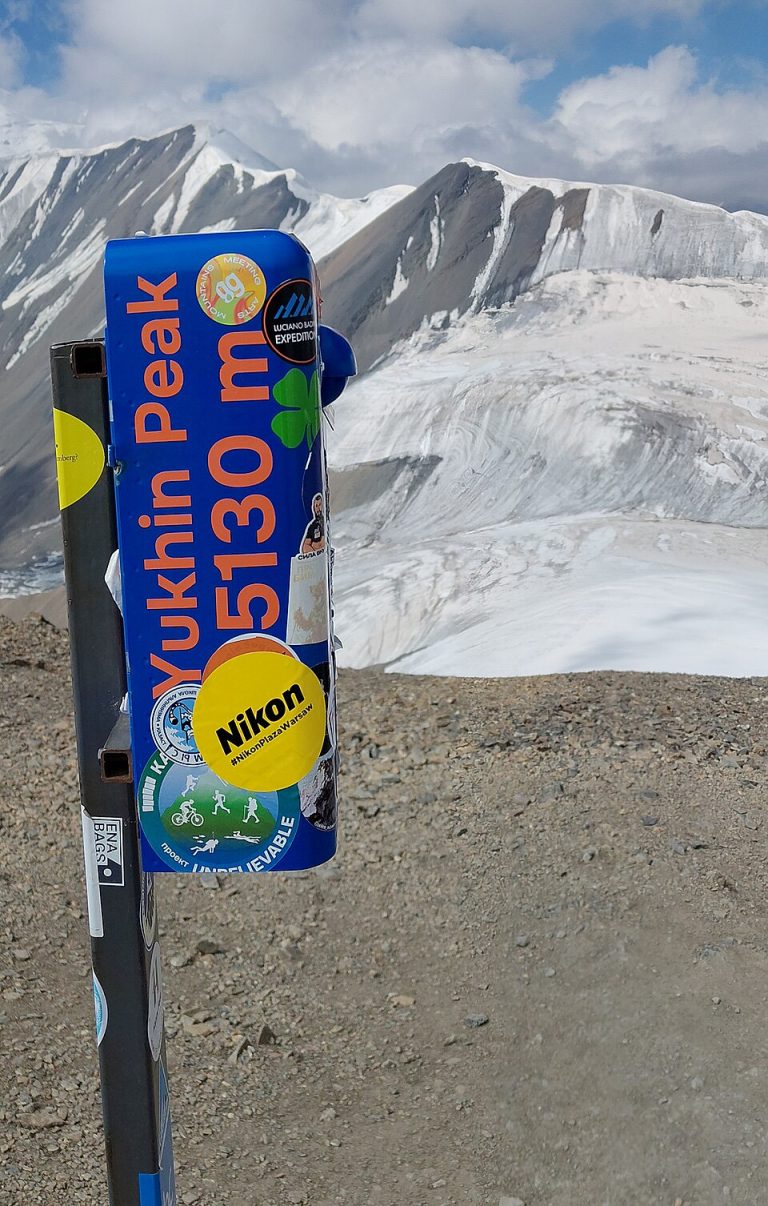
An ascent of Yukhin Peak from Camp 1 via moraine, snow and the southern scree slope. Acclimatisation is essential.
Chuy Region
An ascent towards Zelenkova Peak from Chunkurchak, through forest, meadows and scree. A GPX track is not available.
Chuy Region
A 13.3 km mountain track from the ZIL area towards Ken-Tor Glacier. It covers one direction of travel.
No routes match yet. Try another place or reset the filters.
Tracks come from OpenStreetMap, published trip records and GPX files. Each route page explains what its track covers. Check current access and conditions before setting out.