Skip to content
KyrgyzMapTHE WAY TO KYRGYZSTAN

KYRGYZSTAN · TRAVEL ACTIVITIES

Mountaineering in Kyrgyzstan

Summit routes in Ala-Archa, the Karakol mountains, the Tian Shan and the Pamir. Compare ascent lines, reported grades, approaches and descent plans.

Mountaineering grades: meaning and preparation

A grade describes a specific ascent line. Also consider altitude, the approach, descent and current conditions. The table outlines experience and equipment considerations for each level; plan your preparation with an instructor or qualified guide using the route description.

Mountaineering, trekking and pass grades

Mountaineering: the 2021 FAR rules list eleven subdivisions: 1B, 2A, 2B, 3A, 3B, 4A, 4B, 5A, 5B, 6A and 6B. This explains a commonly used grading scale; Russian organisational rules are not presented as Kyrgyzstan legal requirements. Some older or local accounts use “1A alpine”; those labels are retained with their source context.

Sport trekking: I–VI rates a complete journey, considering obstacles, self-sufficiency and other factors. It is not the grade of a single ascent.

Mountain passes: ungraded, 1A, 1B, 2A, 2B, 3A and 3B rate individual passes or local obstacles. An asterisk needs a separate explanation.

Other systems: French rock grades such as 6a+/6c, aid grades A0/A1, UIAA and international alpine grades F/PD/AD/D/TD/ED are shown separately. A rock grade of 6a+ is not an alpine grade of 6A.

The grade reflects the combined terrain, length and conditions. Routes with the same grade may require different preparation: a high-altitude ascent and a technical rock face are different undertakings.

GradeTerrainExperience and skillsEquipment planning
1B1B — introductory alpine routesThe entry step of the cited scale. A route may mix paths, scree and straightforward rock or snow; the combination is line-specific. A low number does not remove glacier or altitude hazards.Sure-footed movement, navigation, monitoring the party and understanding the full descent. Snow, glacier travel or belayed sections require the relevant trained skills.Footwear for the terrain, insulation, weather protection, headlamp and navigation. Helmet and technical equipment depend on the actual line; they are not ruled out by the grade.
2A2A — initial technical objectivesIndividual sections may require more than walking: a rock ridge, snow, ice or transitions between them.Basic rope-team work, belaying and organised descent on the terrain actually encountered. Being beside an experienced person does not replace training.Helmet, harness, rope and belay equipment as required by the description; compatible crampons and axe for snow/ice variants. Select rock and ice protection separately.
2B2B — consolidating technical experienceA step above 2A in overall difficulty. Obstacles may be more sustained, require more assured protection or be harder to combine into a complete itinerary.Consistent teamwork, anchor and descent competence, reading the topo and assessing retreat. Practise on the relevant rock or snow/ice terrain.A complete line-specific rack including protection and descent equipment. A glaciated approach calls for a trained rope team and rescue equipment regardless of the rock grade.
3A3A — an established technical rope teamA middle step in this scale, with technical sections forming a substantial part of the objective. The number does not prescribe one fixed rock or ice character.Coordinated movement through multiple sections, changing protection methods, time management and assisting a partner. Be able to complete the descent if conditions deteriorate.Rope system, protection for the surfaces encountered, helmet and equipment for an unplanned delay. Choose ice tools for the actual ice rather than the grade number alone.
3B3B — sustained multipitch competenceA more demanding overall combination than 3A. Difficulty may come from sustained technical work and its interaction with the setting, not a single move.Independent, coordinated teamwork, sound anchor judgement and planning a complex descent. Experience must fit the route surface, not merely indoor climbing ability.Topo-specific technical equipment with provision for descent and delay. If a bivouac may be needed, plan cold protection; fixed ropes or equipped anchors are not assumed.
4A4A — a difficult alpine objectiveA high technical step requiring both section-level ability and the capacity to complete the whole line. Snow, ice, rock and mixed ground present very different problems.Confident leading and protection on the relevant terrain, efficient transitions and a workable retreat plan. Decisions must account for the whole team’s remaining capacity.Protection and ropes for the exact line, emergency-descent equipment, communications and weather reserves. Ice-face and rock-route racks are not interchangeable.
4B4B — sustained difficult climbingA step above 4A overall. Individually moderate moves can still form a serious objective through their length and combination.Mature team tactics: maintain efficient progress without degrading protection, manage reserves and preserve retreat options. Experience on comparable mountain lines matters.A carefully selected technical rack plus descent and self-sufficiency equipment. Check protection, water and bivouac assumptions against the topo and recent information.
5A5A — an advanced mountain objectiveA high overall difficulty that may describe a demanding altitude expedition or a technical face. The number alone does not identify the determining factor.Extensive experience of comparable terrain and scale, independent judgement and a rescue plan. Altitude routes additionally require acclimatisation and camp management.Route-type equipment: altitude protection and camps, wall equipment, or a combination. A 5A label alone cannot define the packing list.
5B5B — high team consistencyThe next overall step above 5A. A strong team must manage the complete line rather than only its most visible crux.Practised leadership and teamwork, managing a complex descent and limited reserves. Expertise in one discipline does not replace experience of the rest of the route.Specialist protection, ropes and retreat equipment selected for the real line. Bivouac and altitude systems are assessed separately from the free-climbing grade.
6A6A — expert levelOne of the two highest steps in the cited scale. Technical obstacles, scale and effort are considered together; it is not a synonym for French 6a.Expert competence on the relevant terrain with substantial technical and tactical reserves. Independent planning and a realistic complex-retreat capability are essential.An individually planned expedition or wall system and emergency provision. The grade cannot yield a sufficient equipment list without the full route description.
6B6B — the highest step of the scaleThe highest of the eleven steps in the cited 2021 FAR rules. It concerns a particular classified line, not the whole mountain or a neighbouring variant.A team with established experience of comparable objectives, complete route understanding and its own contingency decisions. The number is not a certificate of readiness.A fully individual terrain-, tactic- and commitment-specific system including descent and possible evacuation. The grade alone does not prescribe aid climbing or a fixed rope count.

Check recent information on snow, glaciers, rockfall, approach and descent. Select equipment for the terrain and the team’s competence with an instructor or qualified local guide. Owning equipment does not replace skill in its use.

This is an orientation guide, not a packing checklist or permission to climb. The equipment and team requirements depend on the exact route, season, altitude and current conditions.

References: FAR 2021 rules, section 1.3: eleven subdivisions · FAR 2010 classification recommendations: routes and variants · FSTR 2018 methodology for the mountain-pass catalogue · FSTR historical 2005 draft: the I–VI concept; not current requirements · BMC: essential alpine skills · BMC: equipment for alpine rock · BMC: international alpine gradesF–ED and preparation · BMC New Alpinists: training, planning, glaciers and emergencies

Batken / Karavshin, Kara-Suu valley

Little Asan: Italian Corner

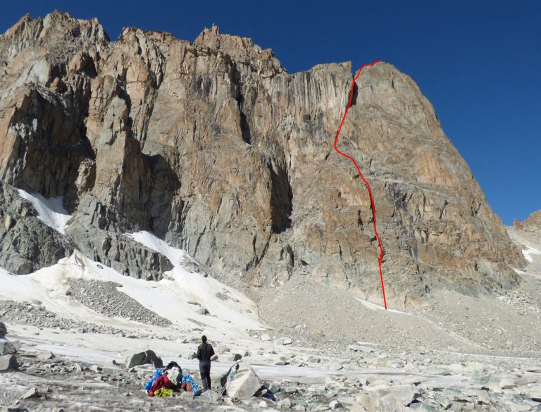
Italian Corner is a west-face route on Little Asan, a roughly 3,900 m summit in the Kara-Suu branch of Karavshin. The first-person 2015 account separates about 150 m of couloir approach from 380 m of climbing up to 6b+. It is not a…

Remote approach, acclimatisation and a full technical climbing dayFrench 6b+; alpine rockRoute guide ↗

Batken / Karavshin, Ak-Suu valley

Russian Tower: La Fiamma d’Oriente

La Fiamma d’Oriente is a separate line on Pik Slesova, the Russian Tower of the Karavshin Ak-Suu valley. Nik Berry’s account describes a 19-pitch free ascent in 2012 with Madaleine Sorkin, including a sparsely protected 5.12c R crux.…

Multi-day expedition with a potentially multi-day wall ascentYDS 5.12c R; free ascent reportRoute guide ↗

Central Tian Shan / South Inylchek

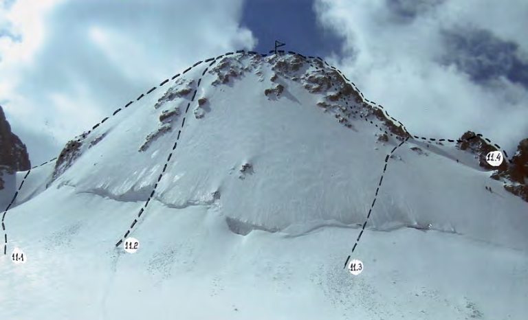
Khan Tengri: the southern classic, 5A

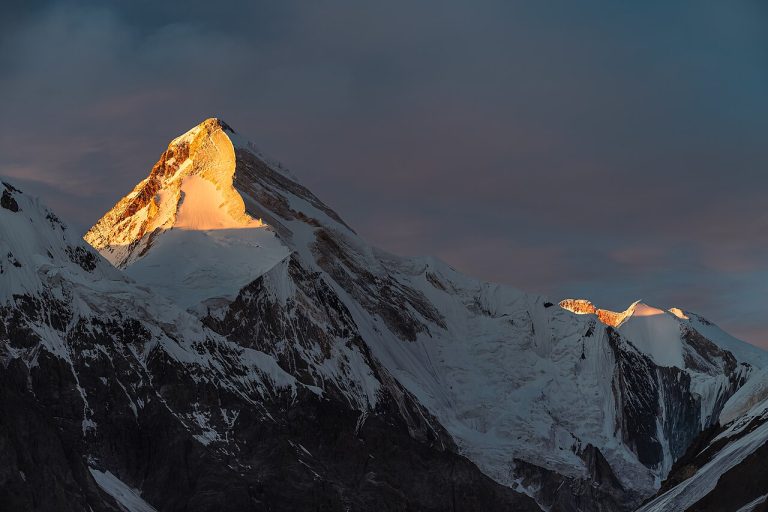
Khan Tengri is the pyramidal summit above the Inylchek glaciers on the frontier of Kyrgyzstan, Kazakhstan and China. The classifier gives the rock summit as 6,995 m; expedition programmes use 7,010 m including its snow and ice cap. This…

About 21 days including approach and acclimatisation5ARoute guide ↗

Chuy / Ala-Archa, Ak-Sai

Korona Second Tower: western route, 2A

Korona is a multi-towered mountain above the Ak-Sai basin in Ala-Archa. This entry concerns the Second Tower, listed at 4,750 m in the classifier, and its western route. It is distinct from the Third Tower itinerary already in the…

Approach and acclimatisation, then a separately planned summit day2ARoute guide ↗

Chuy / Ala-Archa

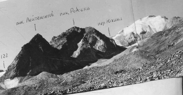
Uchitel–Baichechekey: the ridge traverse, 2B

This high ridge links Uchitel and Baichechekey above Ratsek Hut. It is a traverse of two summits, not the normal ascent of Uchitel. Published descriptions use heights around 4,527 m and 4,515 m respectively; other maps differ. The…

A full technical traverse day after acclimatisation and approach2BRoute guide ↗

Chuy / Ala-Archa, Ak-Sai

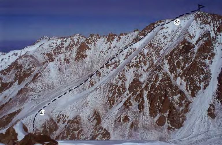
Free Korea Peak: the Lowe route, 5A

Free Korea rises above the upper Ak-Sai Glacier. Heights of 4,740 m and 4,777 m occur in climbing literature. The Lowe line is a separate ice route, reported as 5A; it must not be confused with the Andreev northwest-face entry or Barber…

Technical wall ascent with approach, acclimatisation and weather reserve5ARoute guide ↗

Chuy / Ala-Archa, Ak-Sai

Izyskatel Peak: northwest face, 3B

Izyskatel is a summit of the Ak-Sai climbing area near the Korona group. The classifier lists it at 4,400 m and identifies the northwest face as a 3B ice-and-rock route first climbed by A. Rodikov in 1988. This is a specific technical…

Multi-day preparation and approach, with a technical summit day3BRoute guide ↗

Batken / Karavshin, Ak-Suu valley

Russian Tower: Perestroika Crack

Perestroika Crack follows the Russian Tower, also called Pik Slesova, in the Ak-Suu branch of Karavshin. The reported summit height is 4,240 m. Published ascents describe a long crack-climbing line; the 2015 team reports about 800 m at…

Expedition approach plus a long wall ascent and weather reserveFrench 7a/7b; long traditional rock routeRoute guide ↗

Chuy Region

Chiavari Peak: Roulette Kyrghiza, east face

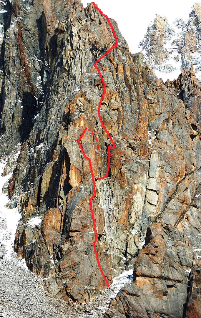
Roulette Kyrghiza is a 330-metre east-face rock route above Uchitel Glacier. Chiavari is the expedition team’s informal summit name. A GPX track is not available.

Not specified6c A1 — rock and aidRoute guide ↗

Chuy Region

Gymnica 2000 Tower: south pillar

A 330-metre south-pillar climb on Tower Gymnica 2000, between Uchitel and Baichechekey in Ala-Archa. A GPX track is not available.

Not specified6c A0 — rock and aidRoute guide ↗

Chuy Region

Ratsek Peak: Balykin north ridge

A technical ascent of Ratsek Peak along Balykin’s north ridge. This is a summit climb above the Ratsek Hut area. A GPX track is not available.

Not specified2BRoute guide ↗

Chuy / Ala Archa

Komsomolets Peak: ascent and return

A recorded ascent of Komsomolets Peak in Ala-Archa, including the return journey. Check current snow and trail conditions before using the track.

17.7 kmGrade not specifiedGPX ↗

Chuy / Ala Archa and nearby ranges

KNU Peak: summit traverse

A traverse across KNU Peak in the Adygene area. The path is informal and can be difficult to follow.

13.6 kmGrade not specifiedGPX ↗

Plan this trip