Jalal-Abad Region
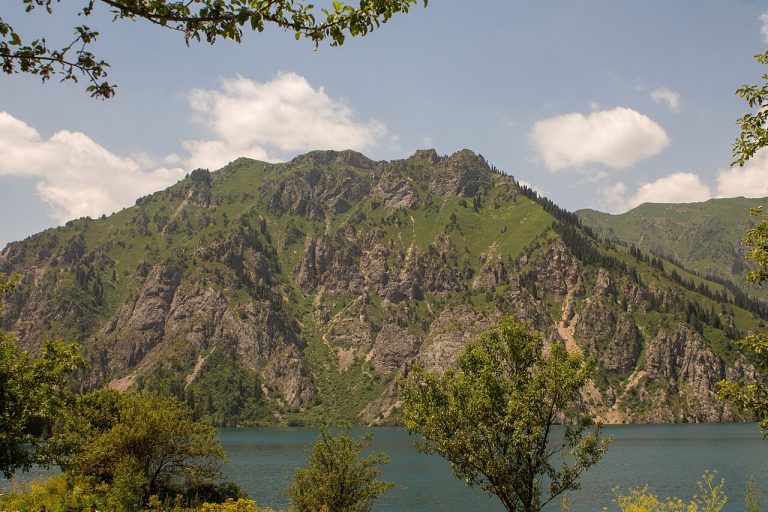
Sary-Chelek: the southern lakes on foot
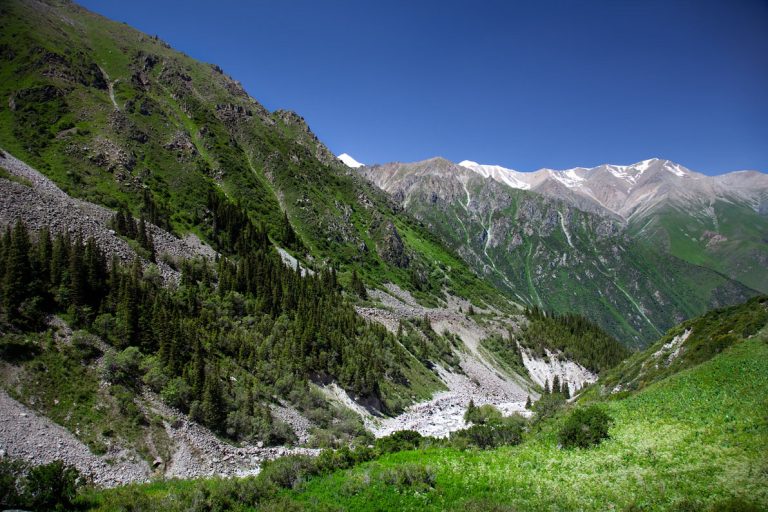
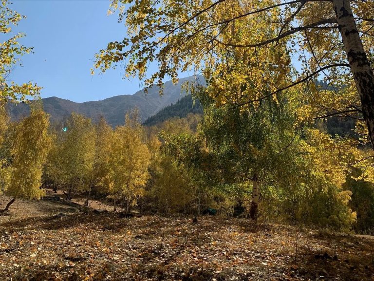
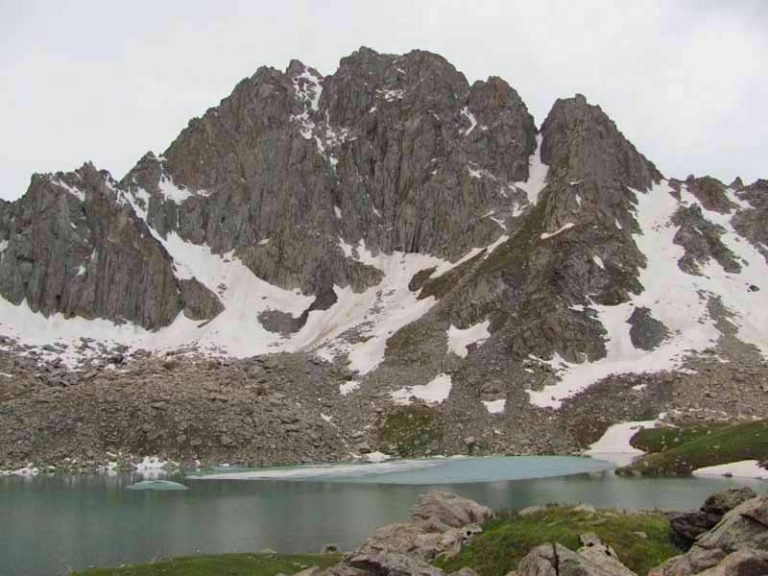
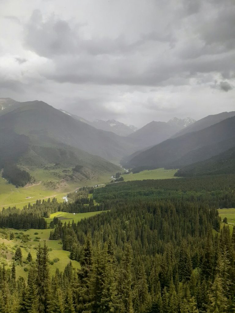
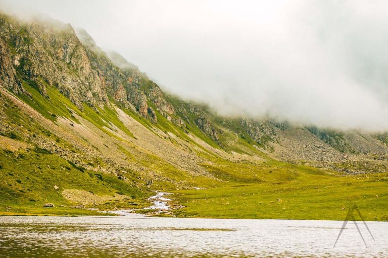
Explore Sary-Chelek’s smaller southern lakes and wooded slopes from the real road-end parking area.
KYRGYZSTAN · TRAVEL ACTIVITIES
Day hikes and multi-day treks through Kyrgyzstan’s valleys, lakes and passes. Check the route, elevation, access and available GPX before setting out.
Jalal-Abad Region
Explore Sary-Chelek’s smaller southern lakes and wooded slopes from the real road-end parking area.
Osh Region, Chon-Alay
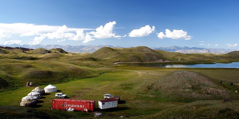
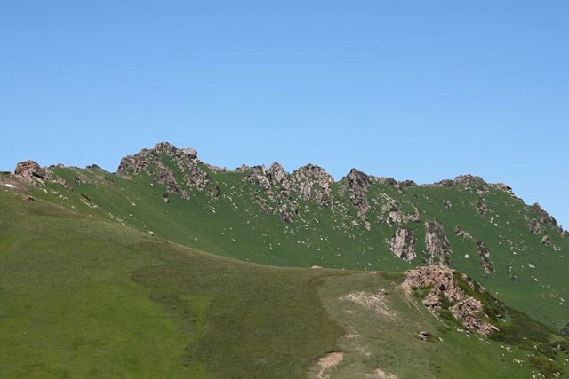
A high-altitude day from the Tulpar-Kul yurt camps towards broad Pamir views, with an optional and conditions-dependent turnaround.
Naryn Region, At-Bashy
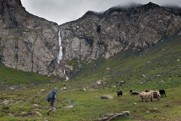
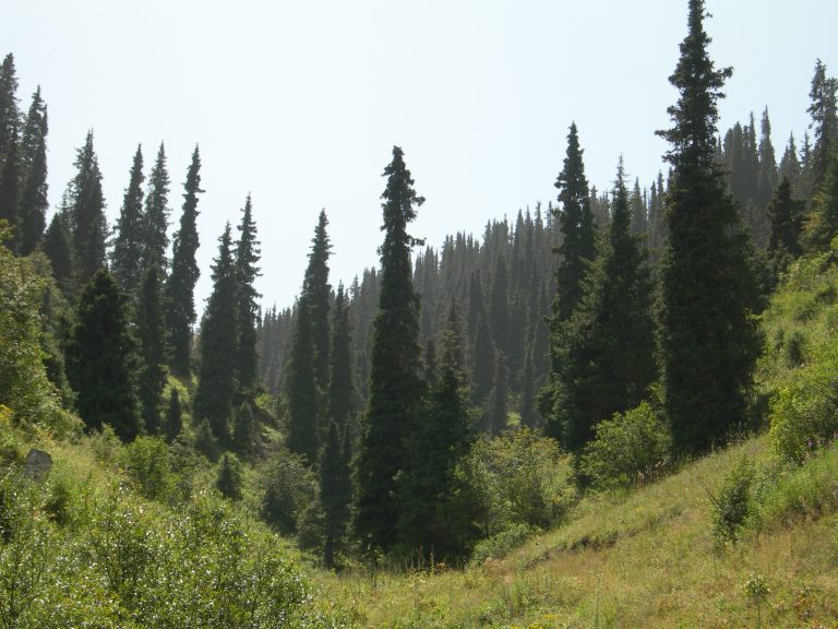
Walk up the Bash-Kaindy valley to the Shaar waterfall basin on a full mountain day, returning along a locally confirmed safe path.
Jalal-Abad Region
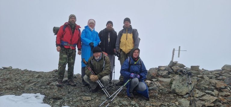
A substantial day on foot from Arslanbob’s Small Waterfall through walnut woodland and higher village panoramas.
Chuy Region
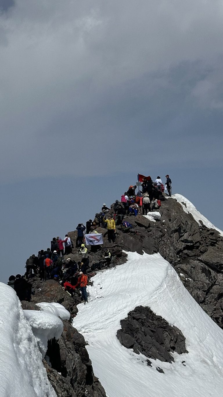
An ascent from Ala-Archa camp via Violet Pass towards Komsomolets Peak. The 7.2 km track ends about 90 metres from the mapped summit; the return is not included.
Chuy Region
A 2.8 km circuit in the high mountains south of Ratsek Hut. The approach from the lower Ala-Archa Valley is not included.
Chuy Region
A 15.6 km route from Ala-Archa to Box Peak, finishing at Ratsek Hut. The descent from the hut to the lower valley is not included.
Chuy Region
An ascent from Ala-Archa to Box Peak. The 13.3 km track ends on the summit; plan the descent separately.
Chuy Region
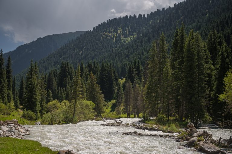
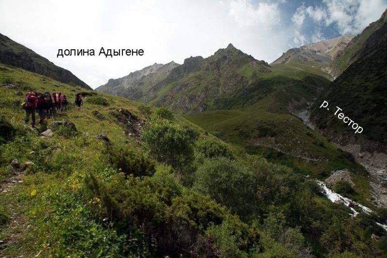
An ascent through the Adygene Valley to the lake area. The 10.2 km track ends by the lakeside; the return is not included.
Chuy Region
An ascent from the Ala-Archa and Adygene valleys to Adygene Peak. This 12.6 km track ends on the summit and does not include the descent.
Chuy Region
A 19.4 km ascent from Ala-Archa towards Robson Peak via Keldy-Choku Pass. The track ends near the summit; plan the descent separately.
Chuy Region
A 13.3 km mountain track from the ZIL area towards Ken-Tor Glacier. It covers one direction of travel.
Chuy Region
An ascent and descent of Turdakun Usubaliev Peak, also known as Spartak. The 13.3 km track returns close to its starting point.
Chuy Region
An 11 km approach up the Ala-Archa Valley towards a spur near Meteostantsii Peak. The track does not reach the mapped summit or include a return.
Chuy Region
An 11.7 km ascent from Ala-Archa towards Znachkistov Peak. The track ends beyond the summit area; the descent is not included.
Chuy Region
The upper ascent from Ken-Tor towards Kompartiya Kirgizii Peak. This 3.6 km section does not include the full valley approach or descent.
Chuy Region
A 3.4 km descent from Kompartiya Kirgizii Peak towards Ken-Tor. The onward journey to the lower valley is outside the track.
Chuy Region
A 2.9 km mountain approach in the Tuyuk-Suu area. The supplied GPX is named for a grotto below the glacier; its entrance is not independently identified.
Chuy Region
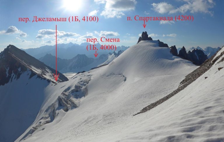
An ascent from Ala-Archa to Jalamysh Peak, continuing towards Jalamysh Pass. The 14.1 km track finishes in the high mountains.
Issyk Kul / Karakol mountains
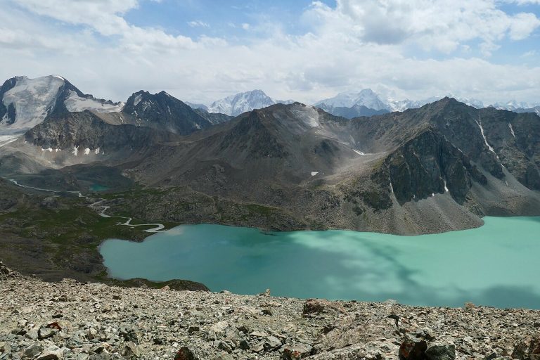
An extended trek through the Karakol mountains, Ala-Kul and Altyn-Arashan, with repeated valley sections.
Issyk Kul / Karakol mountains
A trek between Karakol and Jeti-Oguz via Telety Pass. The itinerary includes repeated approach sections.
Issyk Kul / Karakol mountains
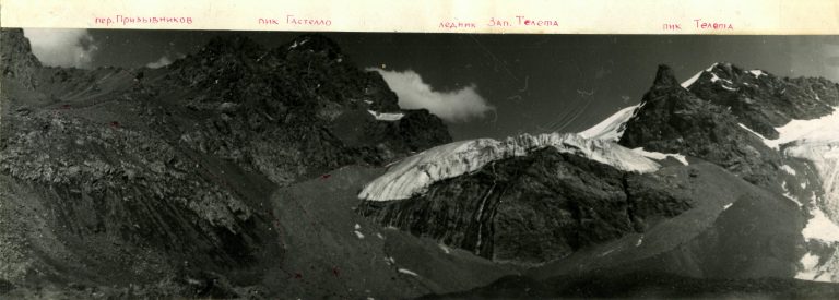
A high mountain circuit in the Gastello area above Karakol Gorge, in the Terskey Ala-Too. Plan for glacier terrain and changing snow conditions.
Chuy / Bishkek mountains
An ascent through the Adygene Valley to the lake, with an additional section beside the river.
Chuy / Bishkek mountains
A descent from the Boyrok birch grove towards the road above Kashka-Suu, continuing to its southwest bend.
Naryn / Song Kul
A multi-day walking itinerary through the southern approaches to Song-Kul and the Kara-Keche area, including repeated sections.
Issyk Kul / Karakol mountains
A trek from Altyn-Arashan through the Keldike Valley and Ala-Kul towards Karakol Gorge.
Issyk Kul / Karakol mountains
A longer trek from Jeti-Oguz through the Telety area to western Ala-Kul, including the Panoramny approach and return stages.
Issyk-Kul Region
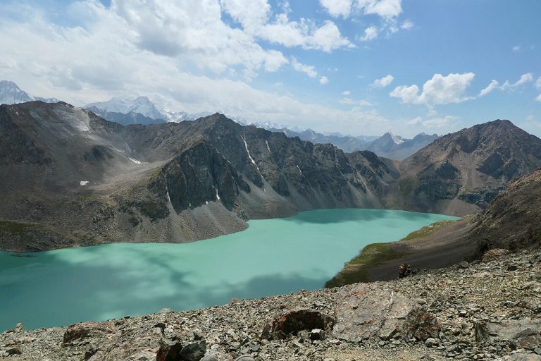
A mountain circuit through Karakol Gorge, Ala-Kul Lake and Altyn-Arashan. Plan camps and the high-pass crossing in advance. A GPX track is not available.
Issyk-Kul Region
A mountain journey via Kara-Beltek and Grebeshki to Arashan and Ak-Suu in the eastern Issyk-Kul mountains. A GPX track is not available.
Issyk-Kul Region
A mountain outing to the Yrdik lakes south of Karakol, in the Terskey Ala-Too. A GPX track is not available.
Issyk-Kul Region
An east-to-west traverse through the Grebeshki mountain area near Issyk-Kul. A GPX track is not available.
Chuy Region
A journey up the Ala-Archa Valley towards the former ski base in the upper mountains. A GPX track is not available.
Chuy Region
A high mountain approach from Ratsek Hut towards Uchitel Glacier in Ala-Archa. A GPX track is not available.
Chuy Region
An ascent towards Beshalchalutash from Chunkurchak, through forest, meadows and upper rocky terrain.
Issyk Kul / Karakol
A circular section in Karakol Gorge. The track does not include the full approach from Karakol or the park entrance.
Issyk Kul / Jeti Oguz
A mountain crossing between the Chon-Kyzyl-Suu and Jeti-Oguz valleys. Check the route branches when planning the crossing.
Osh / Alay
A mountain route section in the Sary-Mogol area of the Alay Range. Check the extent of the available track before planning a longer journey.
Chuy / Kyrgyz Ala-Too
A mountain traverse between Alamedin and Ala-Archa, including glacier terrain. The route requires mountaineering preparation.
Issyk Kul / Jyrgalan
A trek from Jyrgalan towards Boz-Uchuk through the valleys of the eastern Tian Shan.
Issyk Kul / Jyrgalan
A circular hiking route near Jyrgalan. The GPX includes the approach to the Keskenkiya loop.
Issyk Kul / Jeti Oguz
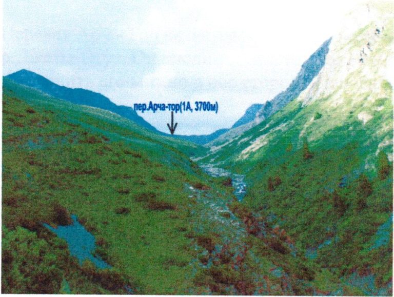
A mountain crossing over Archa-Tor Pass west of Karakol. Plan the valley approaches and return transport separately.
Issyk Kul / Karakol
A mountain journey linking Karakol Gorge, Ala-Kul Lake, Altyn-Arashan and Ak-Suu. The high pass is a key part of the itinerary.
Issyk Kul / Karakol
A trek from Jeti-Oguz through the Karakol mountains towards Ala-Kul Lake.
Chuy / Ala Archa
A loop through the Adygene Valley in Ala-Archa. The route explores the valley below the upper lake basin.
Chuy / Ala Archa
A mountain trail through the Adygene Valley towards its high lakes. The GPX includes a branch, so check which sections belong in your itinerary.
Chuy / Alamedin
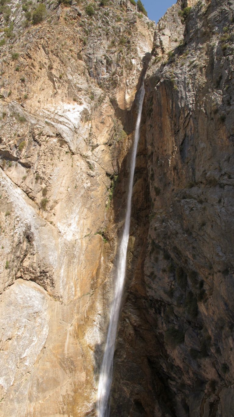
An approach to Teketor Waterfall in the mountains south of Bishkek. The track covers the outward trail; plan the return separately.
Chuy / Ala Archa
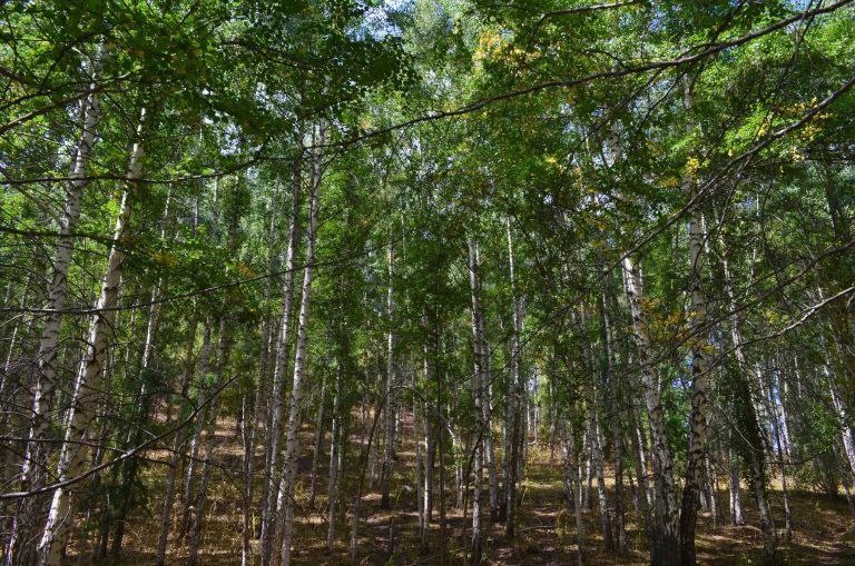
A trail to the Boyrok birch grove near Ala-Archa. The track shows one direction of travel.
Chuy / Kegeti
A hiking route in the Kok-Moynok area of the Chuy mountains. Check the connected trail sections before choosing your walk.
Chuy / Kyrgyz Ala-Too
A high mountain crossing between Alamedin Gorge and Issyk-Ata. Plan the pass crossing and check current mountain conditions.