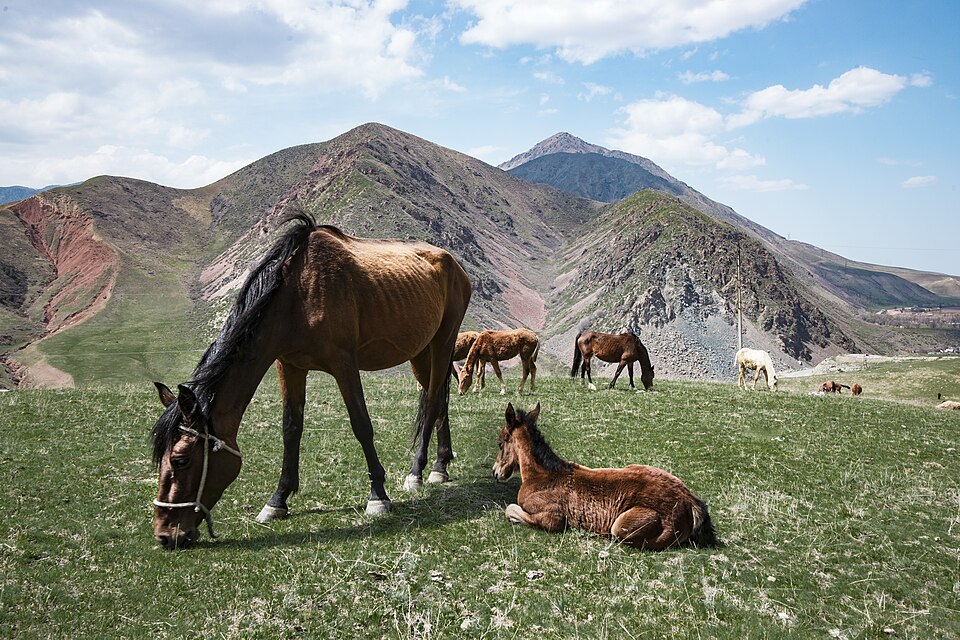
Gorge
Alamedin Gorge
Alamedin is a river gorge on the northern side of the Kyrgyz Ala-Too, south of Bishkek. Its lower valley offers a gradual introduction to the mountains: an open river corridor, grassy slopes and views towards the higher range.
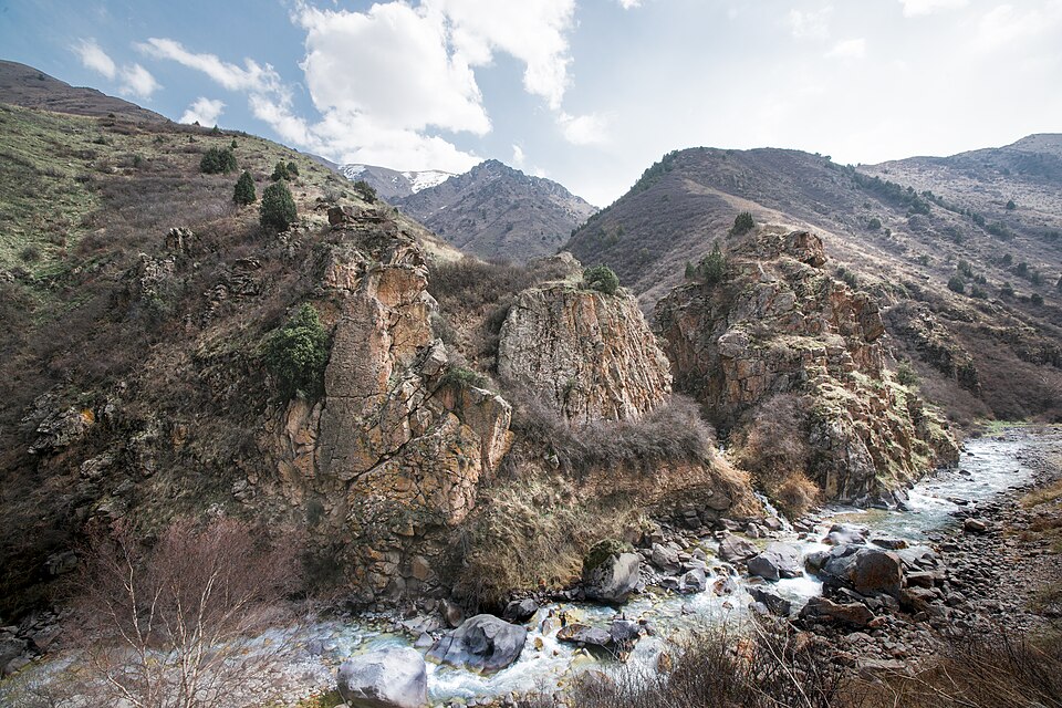 Photo: Vilya Shoni · CC BY-SA 4.0 · Source · License
Alamedin is a river gorge on the northern side of the Kyrgyz Ala-Too, south of Bishkek. Its lower valley offers a gradual introduction to the mountains: an open river corridor, grassy slopes and views towards the higher range. The geographical name also appears as Alamudun or Alamüdün. These spellings describe the same valley area, but they should not be confused with a city neighbourhood or a railway station bearing a similar name.
The familiar day-walk objective is Teke-Tor waterfall on a side stream. The route is not a flat urban promenade: access to the riverbank and the final approach to the waterfall involve steeper ground. A walk can also end earlier at a suitable open section of the valley. Choosing a shorter objective is reasonable when time, weather or the group’s energy does not support the full return journey. The lower valley and a crossing of the high range are very different undertakings.
Use a current route map to establish the correct bridge and bank rather than trying to follow the river wherever it appears convenient. A mapped line does not justify crossing deep or fast water. Side trails serve pastures and tributaries, so download your intended route and note the return junctions. The published hiking description is a planning source, not proof that a bridge or path is unchanged today.
The gorge also contains privately operated accommodation and bathing facilities near the lower approach. Their access arrangements are separate from a walk through the landscape; a photograph of a pool does not establish that it is open to passing visitors. Set a return time and arrange transport before starting. Mountain weather, early shade and winter ice deserve attention despite the short distance from the capital. An excursion here is rewarding when its actual walking goal is clear.
Exact feature point was not independently resolved; no guessed map pin.
Plan your visit
Getting there
Confirm a transfer to the actual lower-valley walking start and agree your return pickup before leaving coverage.
When to visit
Lower-valley walks are most straightforward in suitable snow-free weather; winter ice changes the outing.
Good to know
Confirm local access, opening arrangements and any entry rules before travel. Respect protected sites and local communities; leave the place as you found it.
Sights in and around Alamedin Gorge
Open each place for its description and visit details. Out-of-town stops require a separate journey.
Chuy Region
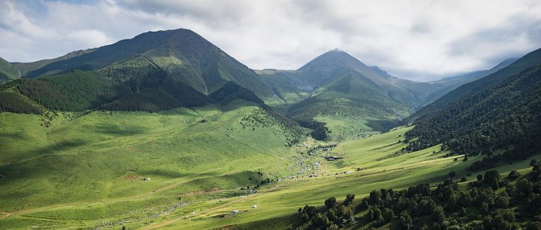
Chunkurchak Gorge
Chunkurchak is a mountain valley south of Bishkek where broad grassy slopes, narrower rocky sections and several developed recreation sites sit close together.
Chuy Region
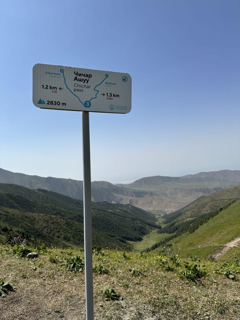
Chichar Pass
Chichar is a walking pass connecting the Chunkurchak side of the near-Bishkek mountains with the Alamedin valley.
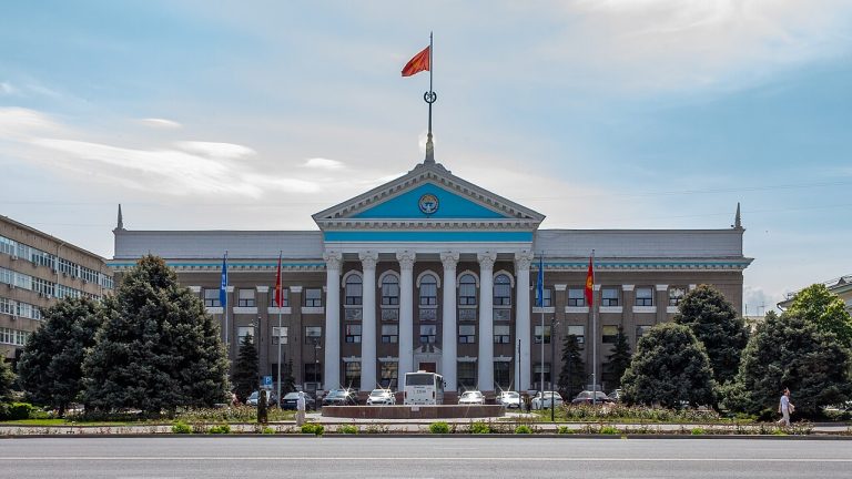
Bishkek
Bishkek
Bishkek gives a journey through Kyrgyzstan an urban starting point: broad avenues, public squares, museums and everyday neighbourhood life beneath the mountains.