Mountain viewpoint
Tysha Mountain
Elevation above sea level: 2,300 m
The local hiking guide publishes a rounded 2300 m for Tysha. Display as approximately 2300 m; this is not a metre-accurate survey.
Tysha is a viewpoint mountain on the nearer ridge between the Alamedin and Ala-Archa valleys south of Bishkek.
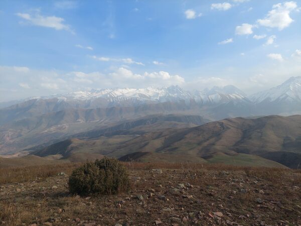 Photo: Mikhail Aleksandr / Hiking.kg · Copyright retained; source credited; no open licence stated · Source
Tysha is a viewpoint mountain on the nearer ridge between the Alamedin and Ala-Archa valleys south of Bishkek. Alternative spellings include Tyshcha and Tysiacha. Its attraction is a broad geographical view rather than technical summit climbing: in clear weather the capital lies to the north, while the main Kyrgyz Ala-Too range forms the mountainous horizon to the south.
The local route publisher places the summit at roughly 2,300 metres and describes a landscape that can feel surprisingly quiet despite its proximity to the city. That contrast is part of the visit. The low buildings and roads of the Chuy valley appear from above, while pasture slopes and higher mountain ridges reveal how quickly the landscape rises beyond the capital. Clear air matters more to this objective than a promise to reach a famous building or waterfall.
Choose an established approach and understand its total climb before setting out. A near-city mountain can still require sustained walking, and a ridge visible from a road is not necessarily approached safely by a direct line. Use a downloaded map for the return junctions and assess wind and visibility before continuing onto open ground. If you cannot identify the way back, the fact that Bishkek is visible in the distance is not an adequate navigation plan.
Tysha can offer a different perspective after a lower-valley excursion in Alamedin or a city day in Bishkek. It should remain a separate walking objective rather than an unplanned extension of a restaurant visit in the foothills. Arrange transport to a particular starting point and leave time for the complete return. The available primary description establishes the mountain’s identity and panoramic interest; this catalogue has not independently resolved a sufficiently reliable summit coordinate, so it does not place a guessed marker on a neighbouring ridge.
Exact feature point was not independently resolved; no guessed map pin.
Plan your visit
Getting there
Follow a selected published approach rather than climbing directly from a road pin; agree the return vehicle location.
When to visit
Choose a clear day with suitable ground conditions; exposed ridge weather can differ markedly from Bishkek.
Good to know
Confirm local access, opening arrangements and any entry rules before travel. Respect protected sites and local communities; leave the place as you found it.
Sights in and around Tysha Mountain
Open each place for its description and visit details. Out-of-town stops require a separate journey.
Chuy Region
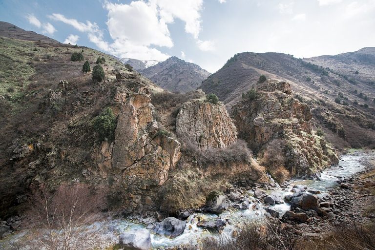
Alamedin Gorge
Alamedin is a river gorge on the northern side of the Kyrgyz Ala-Too, south of Bishkek. Its lower valley offers a gradual introduction to the mountains: an open river corridor, grassy slopes and views towards the higher range.
Chuy Region
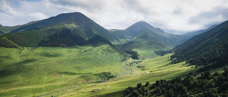
Chunkurchak Gorge
Chunkurchak is a mountain valley south of Bishkek where broad grassy slopes, narrower rocky sections and several developed recreation sites sit close together.
Bishkek
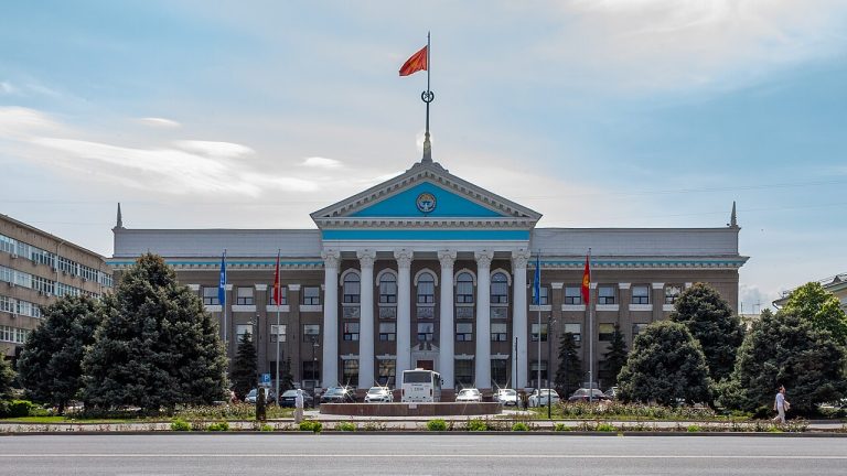
Bishkek
Bishkek gives a journey through Kyrgyzstan an urban starting point: broad avenues, public squares, museums and everyday neighbourhood life beneath the mountains.
Photo gallery
1 photos · select to enlarge