Mountain pass
Chichar Pass
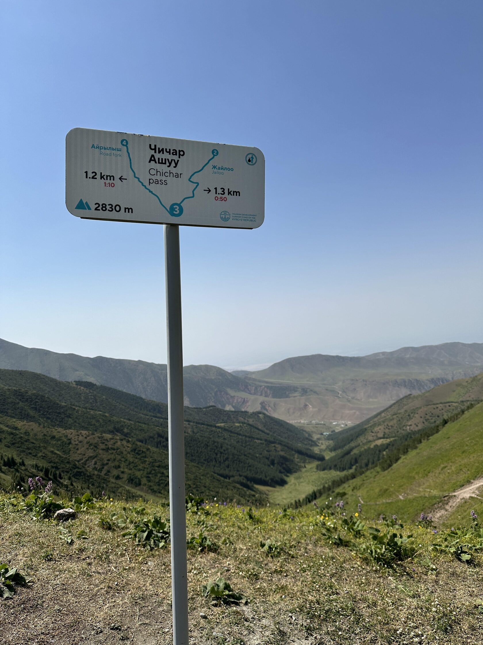
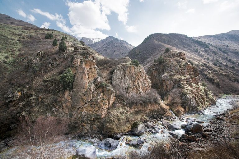
Chichar is a walking pass connecting the Chunkurchak side of the near-Bishkek mountains with the Alamedin valley.
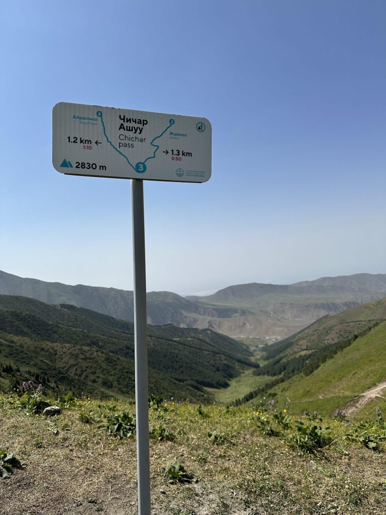 Photo: Mikhail Aleksandr / Hiking.kg · Copyright retained; no open licence stated · Source · License
Chichar is a walking pass connecting the Chunkurchak side of the near-Bishkek mountains with the Alamedin valley. The local route description gives a height of approximately 2,830 metres. Its value lies in the relationship between the two valleys: reaching the saddle reveals a new drainage and makes the mountain geography easier to understand than it is from a road-level view.
A visit can be planned as an ascent followed by a return along the known approach, or as a complete crossing with a different finish. Those are different routes. The descent towards Alamedin is described as long and steep, so the fact that a saddle is reachable from Chunkurchak does not establish that every member of the group can comfortably continue all the way down the other side. Decide the route format before leaving your vehicle.
The published approach refers to starting areas around the ski base and Supara Chunkurchak. These businesses are practical geographical references, not interchangeable public trail entrances. Confirm the permitted starting point and any access arrangements. Do not assume that a room reservation includes a guide, a mountain transfer or permission to use a private track. A short additional rise near the pass can change the view, but it remains optional and should be assessed separately from the main objective.
For a through-walk, agree the exact finish and pickup in Alamedin before starting; relying on a casual lift from the other valley can turn a manageable day into a much longer one. Carry an offline route and pay attention to the point where the descent joins the valley network. In poor visibility, return while the approach is still identifiable. The pass is a worthwhile landscape objective in its own right; crossing it is a travel decision, not an obligation created by reaching the top.
Exact feature point was not independently resolved; no guessed map pin.
Plan your visit
Getting there
Choose an out-and-back or a planned crossing from the Chunkurchak side; arrange a separate Alamedin pickup if descending through.
When to visit
Use suitable snow-free mountain conditions; wind, cloud and snow can change the difficulty of the saddle and descent.
Good to know
Confirm local access, opening arrangements and any entry rules before travel. Respect protected sites and local communities; leave the place as you found it.
Sights in and around Chichar Pass
Open each place for its description and visit details. Out-of-town stops require a separate journey.
Chuy Region
Chunkurchak Gorge
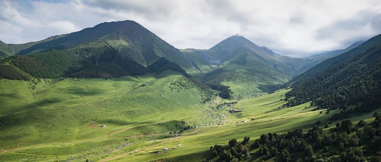
Chunkurchak is a mountain valley south of Bishkek where broad grassy slopes, narrower rocky sections and several developed recreation sites sit close together.
Chuy Region
Supara Chunkurchak Ethno Resort
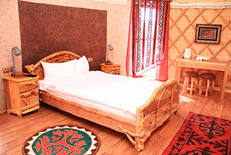
Supara Chunkurchak is an ethnocultural resort in Chunkurchak Gorge, with yurt-style accommodation and a restaurant setting inspired by Kyrgyz traditions.
Chuy Region
Alamedin Gorge
Alamedin is a river gorge on the northern side of the Kyrgyz Ala-Too, south of Bishkek. Its lower valley offers a gradual introduction to the mountains: an open river corridor, grassy slopes and views towards the higher range.