Hill summit
Chong-Aryk Summit
Elevation above sea level: 1,381 m
Elevation shown in the checked OpenStreetMap summit record; not a new survey.
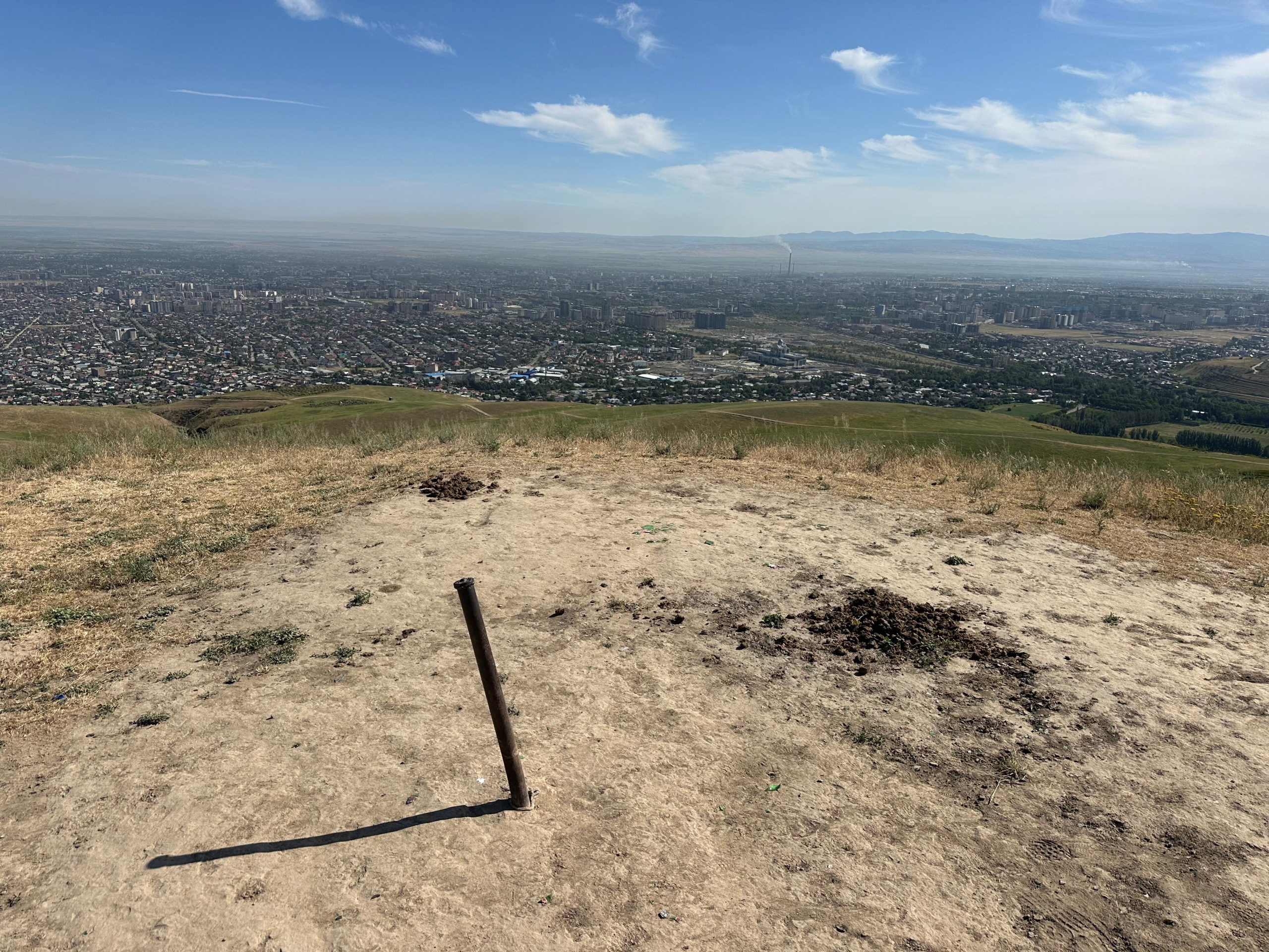
This page identifies the Chong-Aryk summit point, not the settlement carrying the same name. It is a separately mapped hill feature south of the capital, and the supplied route finishes at that mapped point.
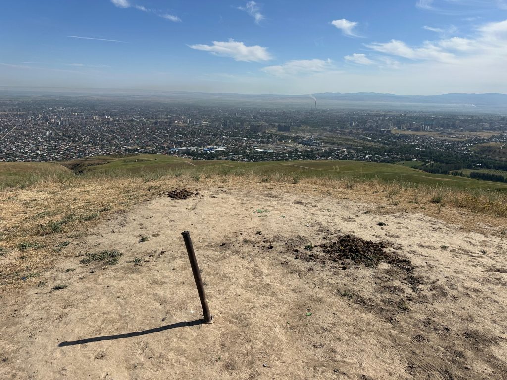 Photo: Странник (Strannik), Yandex Maps contributor · Copyright retained; source credited; no open licence stated · Source · License
This page identifies the Chong-Aryk summit point, not the settlement carrying the same name. It is a separately mapped hill feature south of the capital, and the supplied route finishes at that mapped point. This gives a useful geographical link between the route and a particular landscape objective, while avoiding the misleading impression that the track merely visits the village.
Access needs special care. The surrounding map information includes a shooting-range warning sign. Confirm the permitted route locally and obey signs and instructions on the ground; a public map or a recorded GPX is not permission to enter a restricted area. Do not treat an apparently quiet slope as evidence that range activity or other land-use restrictions have ended.
For a visit, first establish whether the intended approach is currently authorised, then agree a clear return plan. Do not improvise an alternative through neighbouring land if the normal route is closed. The catalogue records the summit’s identity and route connection, but does not describe the area as a freely accessible park or promise that every connecting path is open.
OSM summit node; reverse-geocoder places its approach in Alamedin District, Chui. A nearby warning-sign record requires local access checks.
Plan your visit
Getting there
Verify permitted access and obey all shooting-range and land-use warning signs before entering the hill area.
When to visit
Access restrictions take priority over season or favourable weather; no unrestricted visitor route is confirmed.
Good to know
Confirm local access, opening arrangements and any entry rules before travel. Respect protected sites and local communities; leave the place as you found it.
Sights in and around Chong-Aryk Summit
Open each place for its description and visit details. Out-of-town stops require a separate journey.
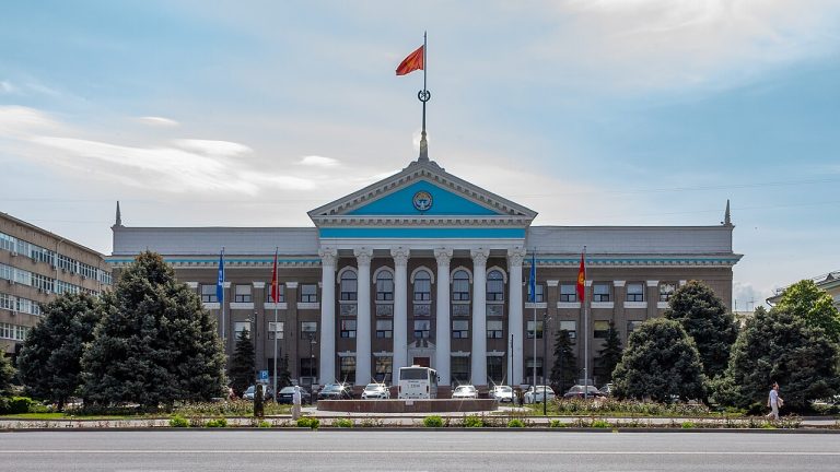
Bishkek
Bishkek
Bishkek gives a journey through Kyrgyzstan an urban starting point: broad avenues, public squares, museums and everyday neighbourhood life beneath the mountains.
Photo gallery
Location on the map
Location: Chong-Aryk Summit
42.7782991,74.56254