Jumgal settlement
Chaek
Chaek is a settlement in the Jumgal area of Naryn Region. It is a useful inhabited reference within the mountain valleys of central Kyrgyzstan, distinct from the high pasture basin of Song-Kul and from Kyzyl-Oi farther along the regional valley network.
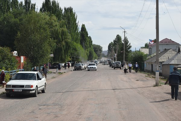 Photo: Roman Vaigult / Роман Вайгульт expedition report; individual photographer not identified for this frame · Copyright retained; source credited; no open licence stated · Source · License
Chaek is a settlement in the Jumgal area of Naryn Region. It is a useful inhabited reference within the mountain valleys of central Kyrgyzstan, distinct from the high pasture basin of Song-Kul and from Kyzyl-Oi farther along the regional valley network.
The mapped settlement outline identifies the town area rather than an arrival address. For journeys through the surrounding hills, Chaek helps orient the relationship between settlements and mountain connections. An endpoint several kilometres from the town should not be described as a town-centre arrival, and current services need separate confirmation.
Plan your visit
Getting there
Confirm the intended town address and onward transport locally.
When to visit
Check current regional road and transport conditions.
Good to know
Confirm local access, opening arrangements and any entry rules before travel. Respect protected sites and local communities; leave the place as you found it.
Sights in and around Chaek
Open each place for its description and visit details. Out-of-town stops require a separate journey.
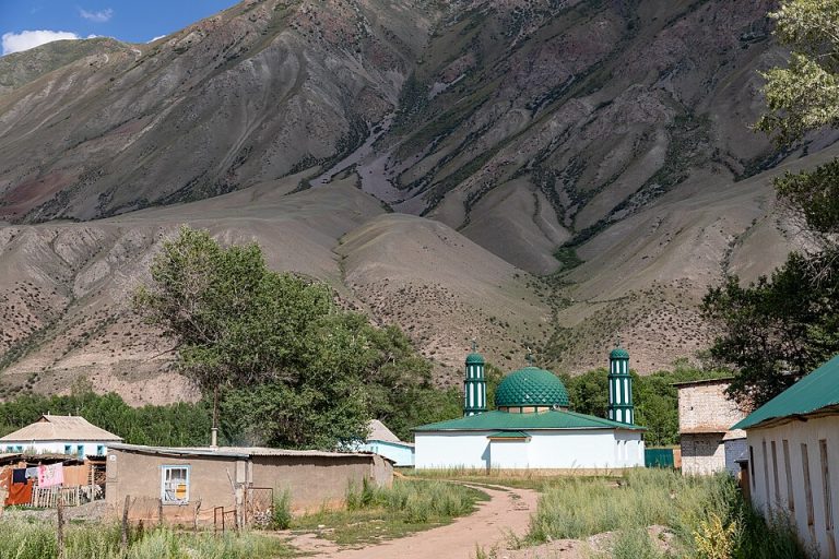
Naryn Region
Kyzyl-Oi and the Kokomeren Valley
Kyzyl-Oi is a village in the Kokomeren Valley, set among red-toned slopes and a powerful river landscape.
Photo gallery
Location on the map
Location: Chaek
41.9265892,74.5165241