Mountain summit
Chiavari Peak (informal name)
Elevation above sea level: 4,145 m
The first-ascent team reports 4145 m for the summit it named Chiavari in 2016. This is an expedition name rather than proof of an officially standardized name.
Chiavari is an informal summit name used by the authors of a 2016 climbing expedition in Ala-Archa.
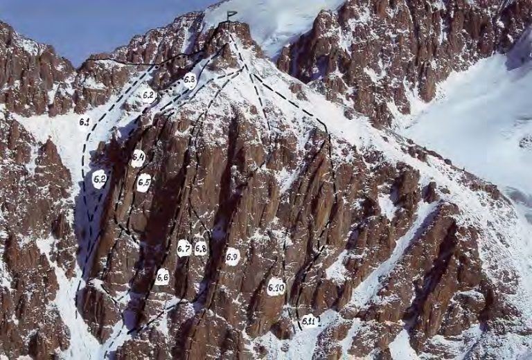
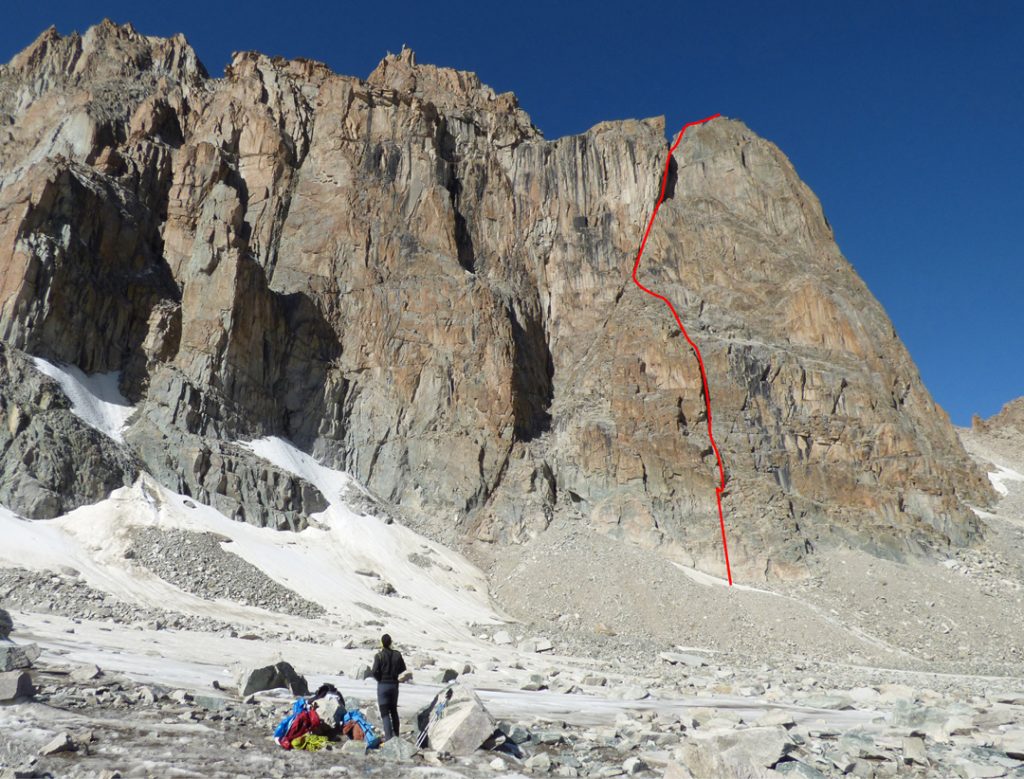 Photo: Marcello Sanguineti · Copyright retained; source credited; no open licence stated · Source · License
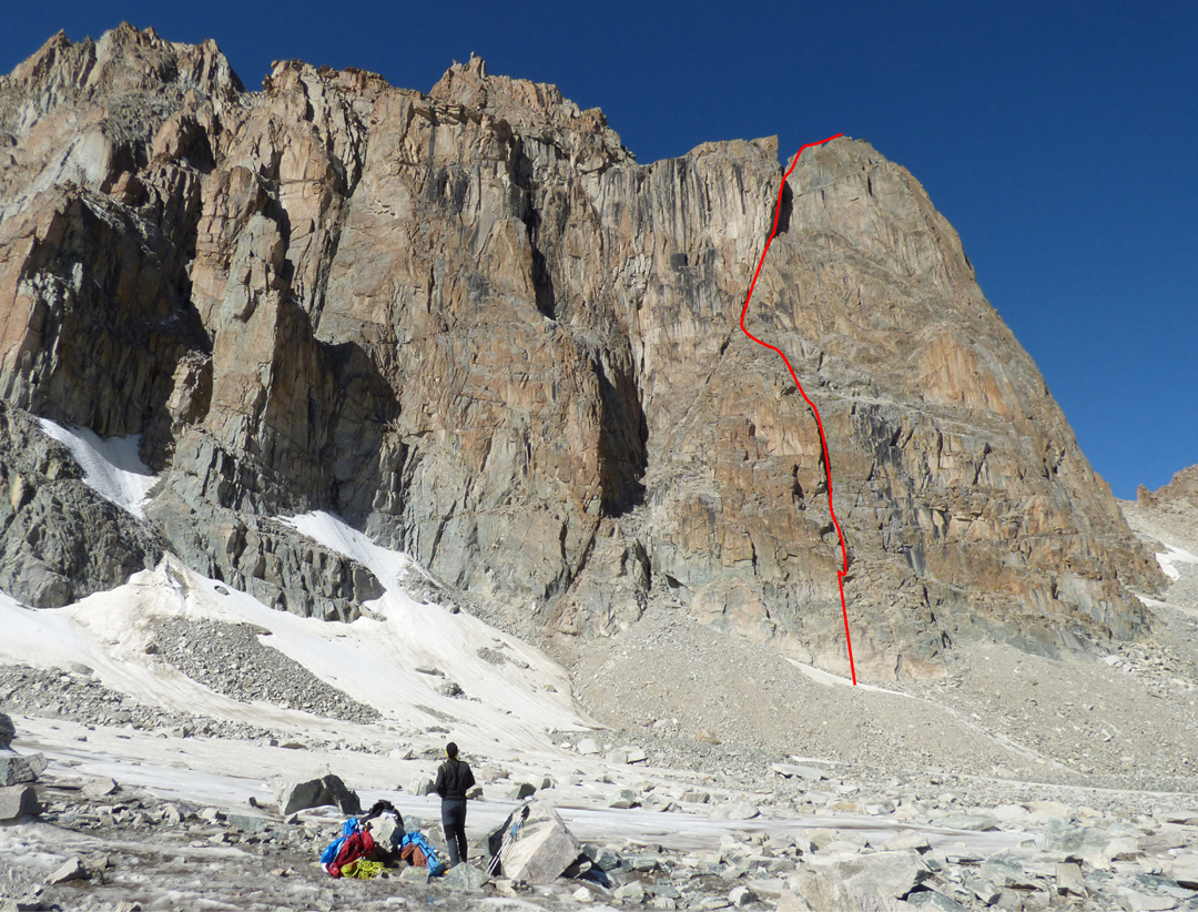
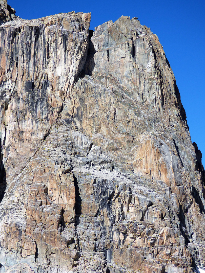
Chiavari is an informal summit name used by the authors of a 2016 climbing expedition in Ala-Archa. Their account places the rock objective above the Uchitel Glacier, within the high alpine group of the Kyrgyz Ala-Too.
The associated Roulette Kyrghiza line concerns the eastern face. The place is best understood through that expedition context: a particular rock formation and face above a glacier basin, rather than an established village destination or a broadly named walking area. The informal name is retained with that attribution, without presenting it as evidence of an officially standardised mountain name.
Named summit reference from the cited map or primary report, not a trailhead.
Plan your visit
Getting there
Ala-Archa is the geographical approach area. Confirm the intended trail, access and conditions locally.
When to visit
The lower valley, lake basin and summit have different snow and weather conditions; check the intended objective separately.
Good to know
Confirm local access, opening arrangements and any entry rules before travel. Respect protected sites and local communities; leave the place as you found it.
Sights in and around Chiavari Peak (informal name)
Open each place for its description and visit details. Out-of-town stops require a separate journey.
Chuy Region
Uchitel Peak
Elevation above sea level: 4,530 m
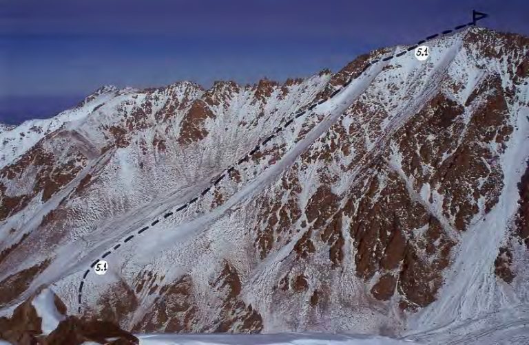
Uchitel is a summit above the Ratsek area in Ala-Archa. Route descriptions connect the lower mountain base with a sustained upper scree ascent.
Chuy Region
Baichechekey Peak
Elevation above sea level: 4,515 m
Baichechekey is a climbing objective in the Ala-Archa mountains. Published accounts describe a technical rock line on its western side; that account is useful reading for climbers interested in the area’s established and newer routes.