TRAVEL ARTICLES
Hiking in Kyrgyzstan: choose a route, read the GPX and plan your day
Compare a valley walk with a high mountain trek, inspect the actual track and build a hiking plan around elevation, access and a sensible return.
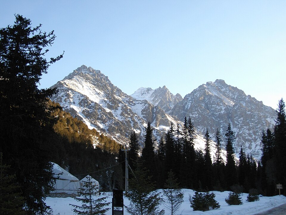
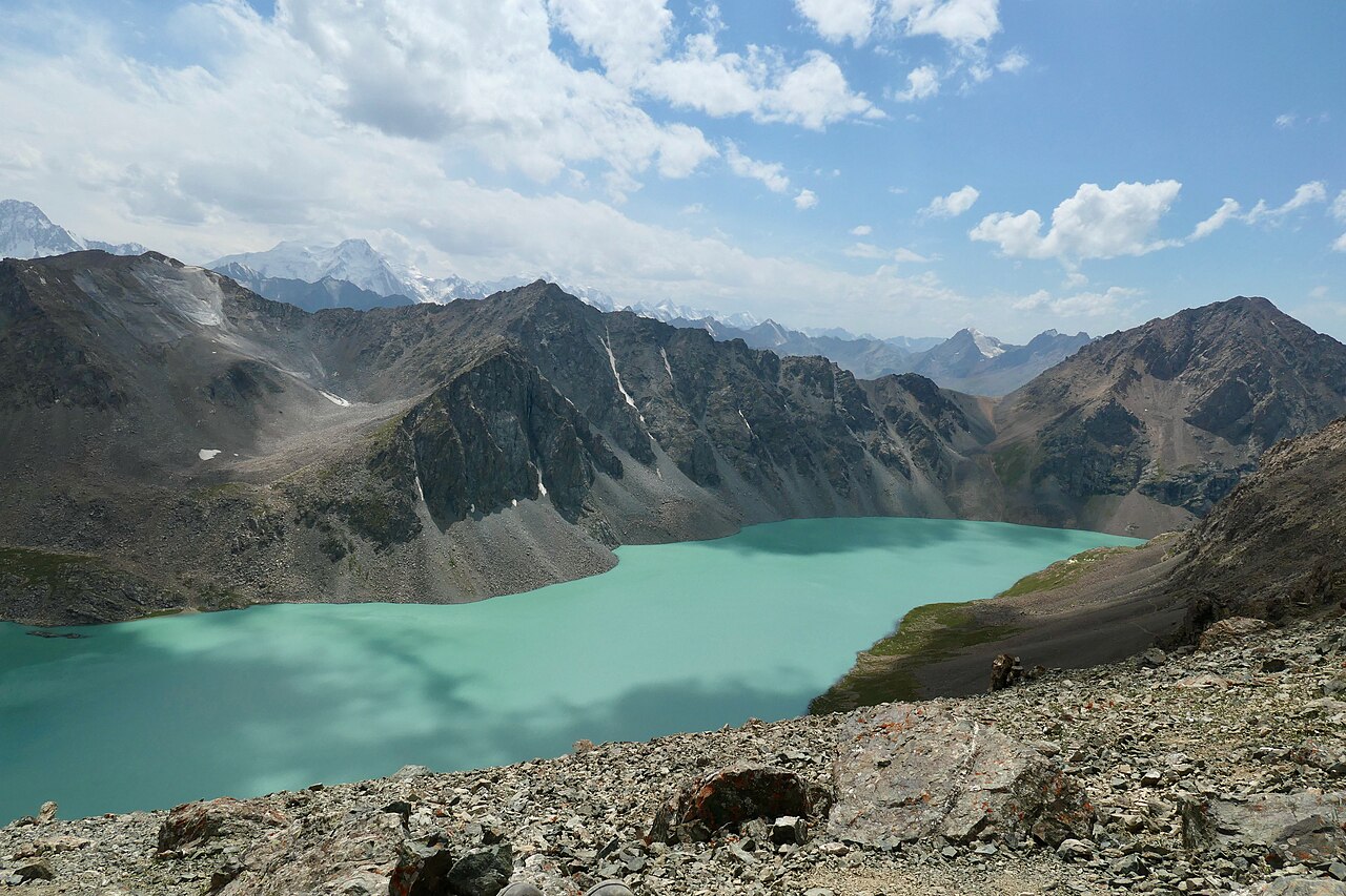 Photo: Bruno Rijsman · CC BY-SA 2.0 · Source · License
Choose the kind of mountain day
A riverside walk in Ala-Archa and a journey to Ala-Kul are different commitments. The latter belongs to the high mountain terrain south of Karakol, where routes can include passes and several days outside. Start by deciding whether your group wants a short outing, a full hiking day or a multiday trek. Then compare terrain and escape options, rather than selecting only the most striking lake photograph.
Check what the track covers
In the hiking catalogue, distinguish mapped geometry, a published recorded outing and a description without a track. Open the line on a map and locate its actual start and finish. Check whether it is a loop, a one-way section or only an upper part of a longer approach. A GPX can describe a path accurately while saying nothing about today’s bridge, snowfield or access restriction.
Use elevation and terrain together
Distance alone is a poor way to compare mountain walks. Look for ascent, descent, high points, steep slopes and river crossings, then identify where you could turn back. If an elevation profile or duration has not been verified, leave that uncertainty in your plan instead of copying an estimate from another route with a similar name. Download the map and test that the track remains visible when your phone is offline.
Plan transport and overnight stops
Arrange transport to a specific trailhead, not simply to Karakol, Bishkek or the nearest village. Agree the return point and what happens if you finish early or late. For a multiday route, locate your first night’s stay and confirm whether you need camping equipment or a booked place. Carry your own essential supplies; a seasonal camp shown on a map is not proof of an available bed or meal.
Pack for a delayed return
Choose footwear that you have already walked in and a pack that stays comfortable with water. Bring food, warm and waterproof layers, sun protection, a headlamp, basic first-aid supplies and backup power. Keep a dry layer protected inside the pack. Tell a trusted contact your route and intended return, including what action to take if you do not check in. Mobile coverage should not be the only basis of your plan.
Make the turnaround decision early
Ask local guides about recent conditions, especially before a high pass or unfamiliar crossing. Set a point or time for returning while the group is still moving comfortably. If visibility, water or tiredness changes the outing, shorten it without treating that as a failed trip. Lower valleys and village walks can be worthwhile alternatives. Afterward, submit a dated factual report so another visitor can distinguish your observation from an old map line.
Photo gallery
10 photos · select to enlarge
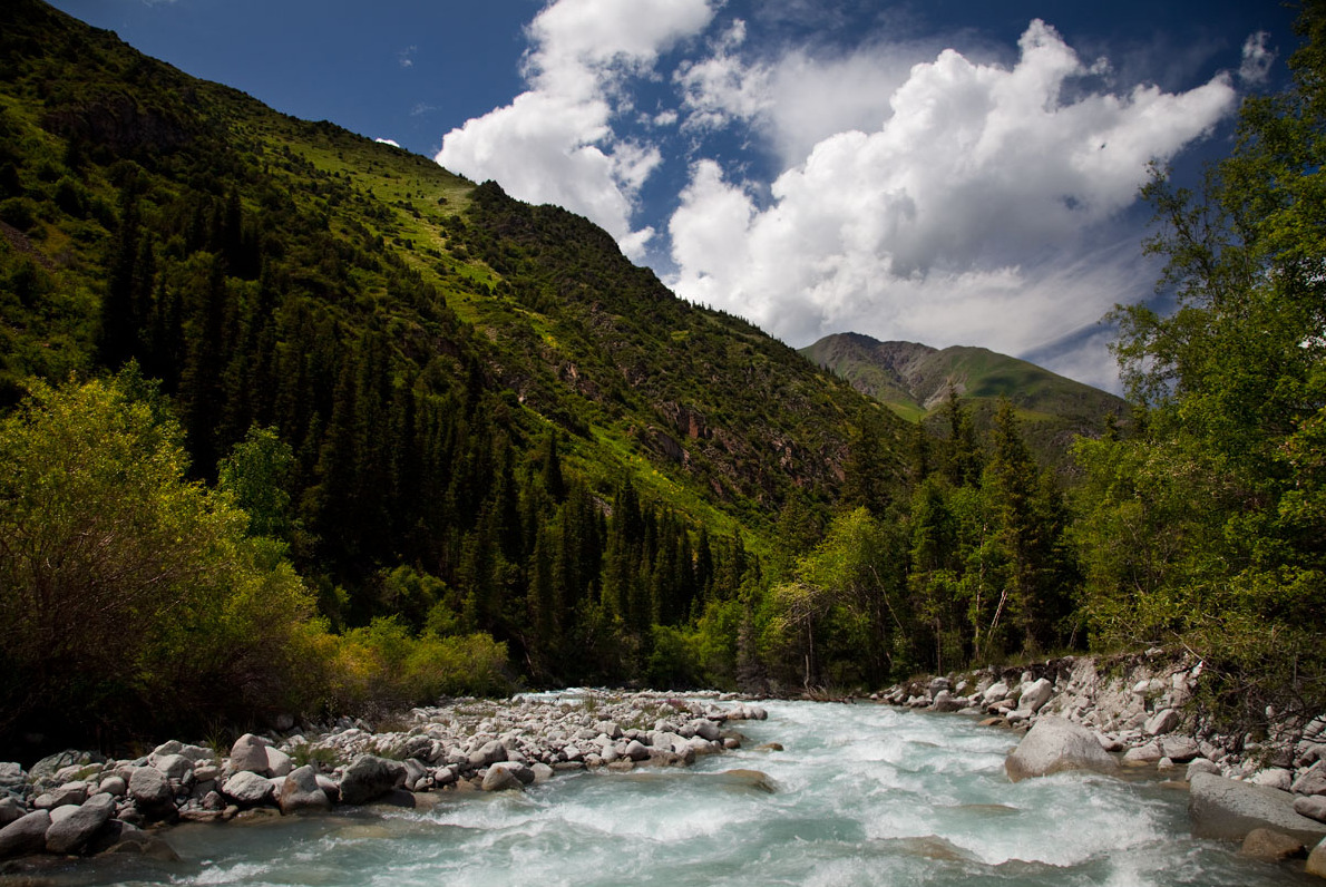
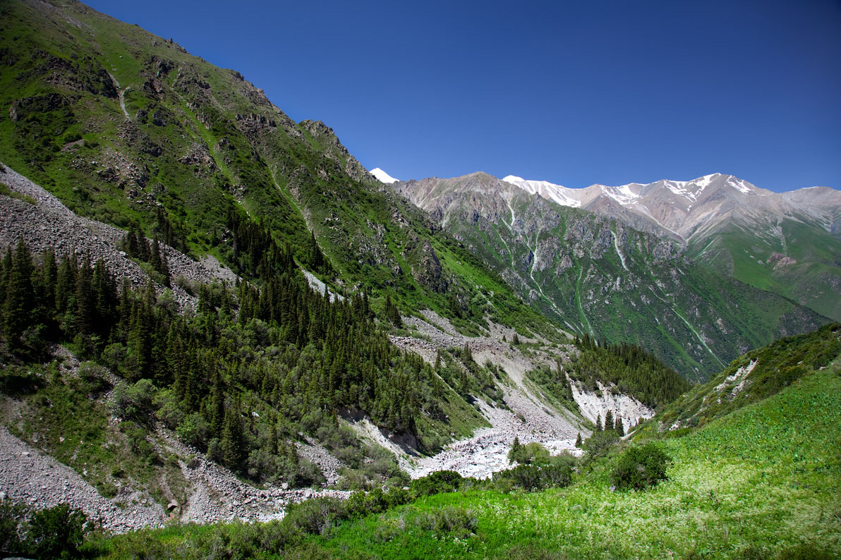
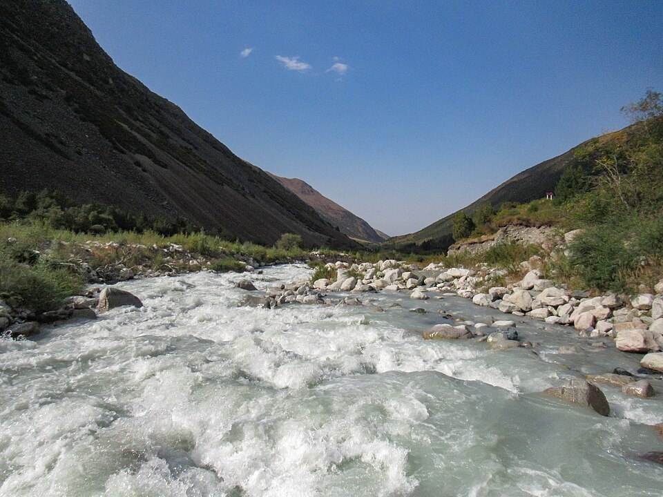
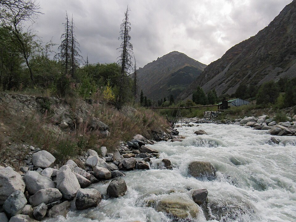
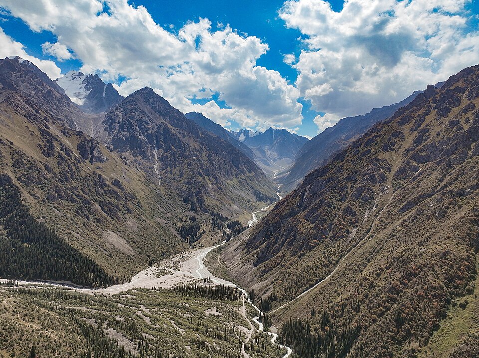
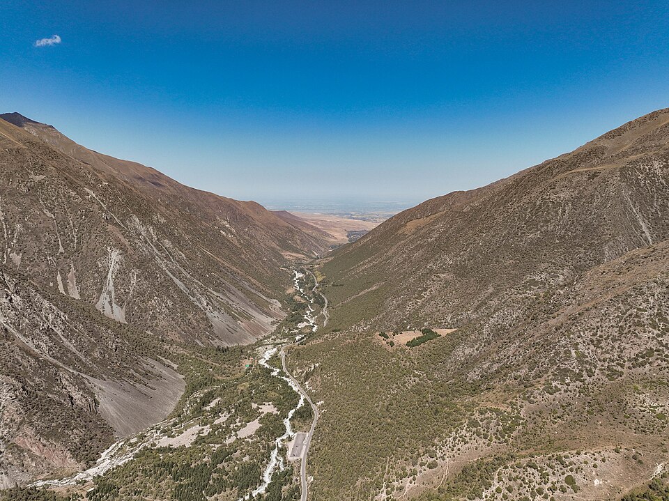
Destination photographs illustrate this article; they do not document every region or route discussed.