ROUTE OVERVIEW
At a glance
Base the ride in Kok-Kyia
This outing is the horse stage from an arranged Kok-Kyia camp toward Kel-Suu and back, with the road approach treated as a separate part of the trip. CBT Naryn publishes a short package with a yurt night and horseback visit, and Visit Alay also describes the lake ride from the camp area. It is distinct from the much longer horse expeditions that approach Kel-Suu across mountain passes.
Organise the vehicle, guide, horses and overnight stay before leaving Naryn. Ask the organiser to confirm the current access requirements and any documents needed for your exact itinerary. Do this before fixing an arrival date: a general travel description does not establish that your group can enter on a particular day. The Naryn anchor is a transport base, not the start of the horse trail.
A day with the local horse team
Use the evening before the ride to discuss the departure point, the horses and the expected time away from camp. Tell the guide how much experience each participant has and agree a pace that the whole group can manage. Confirm a correctly fitted riding helmet and footwear that also works for a short walk.
Keep the day bag light and secure cameras, bottles and straps before mounting. Carry the personal layers and rain protection requested by the team, with warm items easy to reach. Ask where lunch and drinking water fit into the day. A full valley transfer followed by a rushed late ride is a different proposition from a rested morning departure, even if the destination has the same name.
At the lake
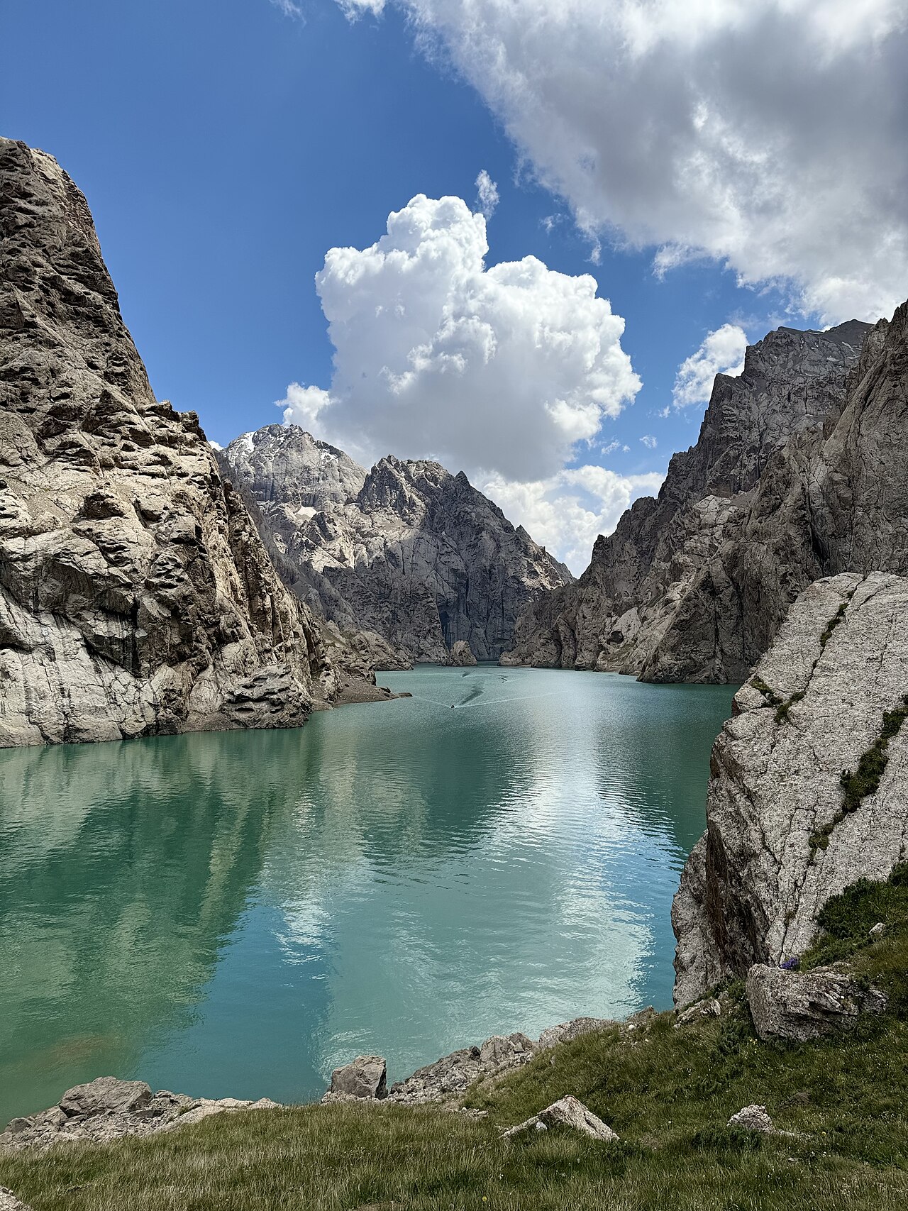
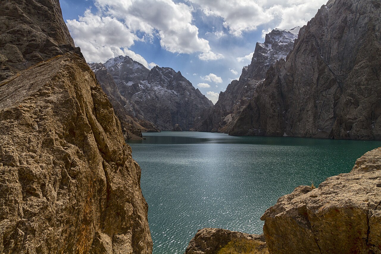
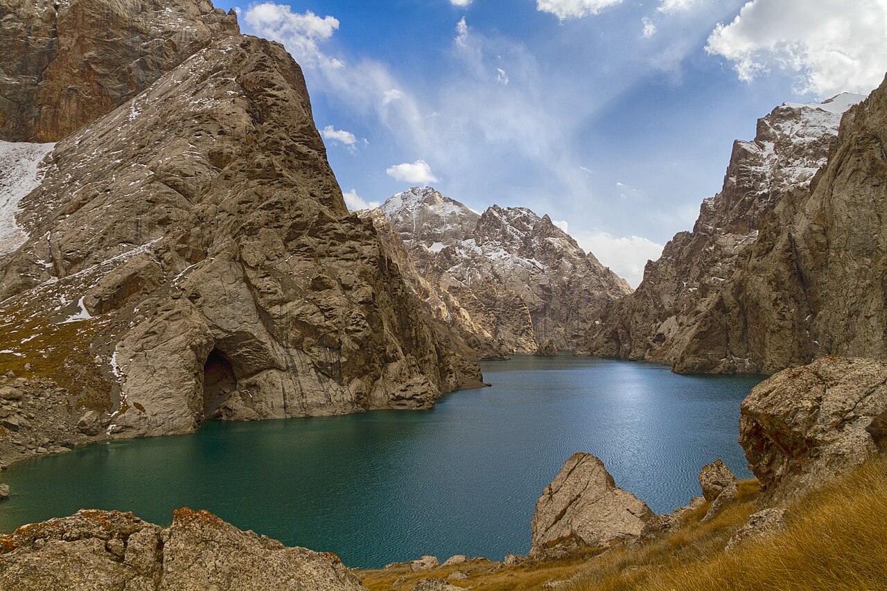
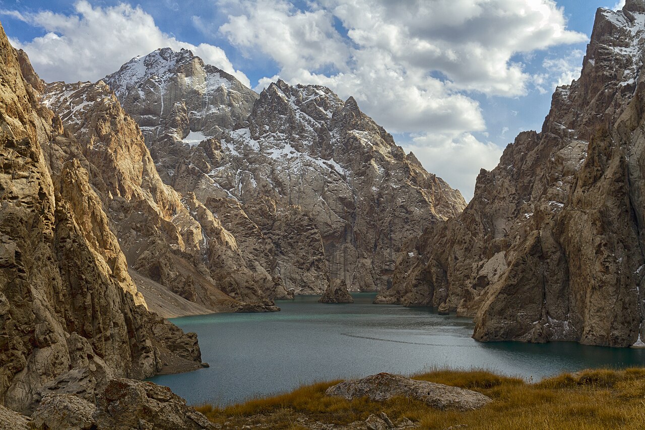
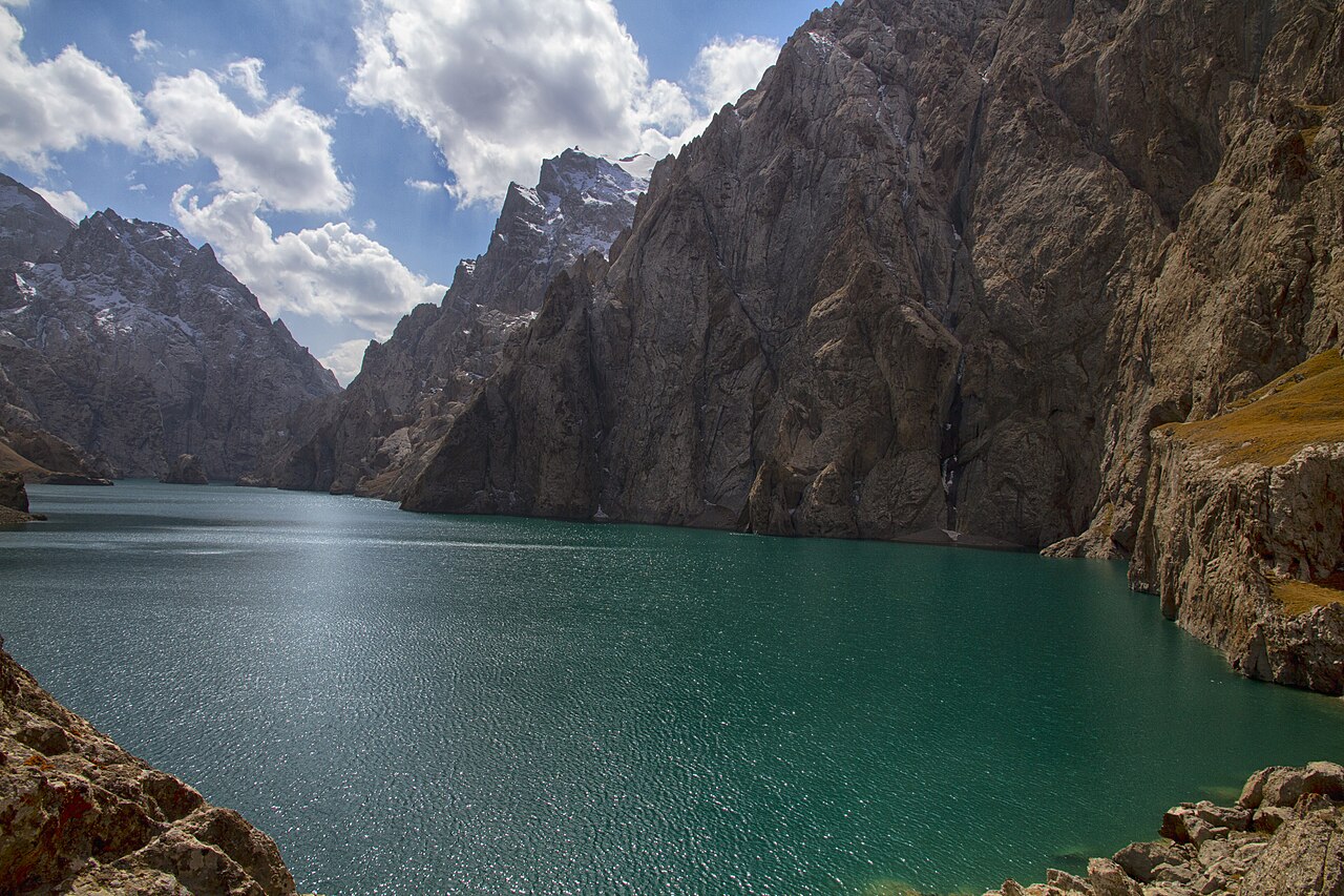
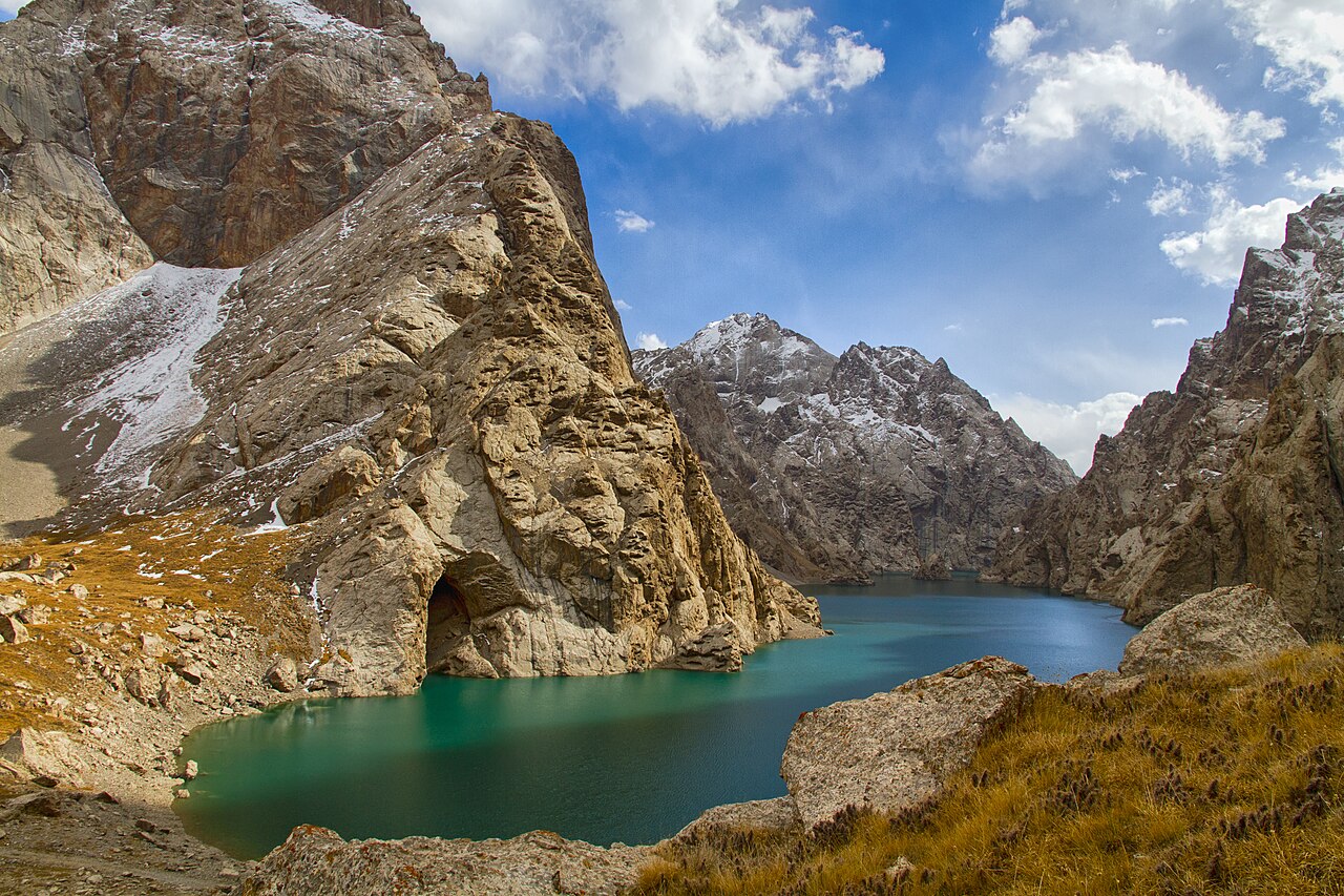
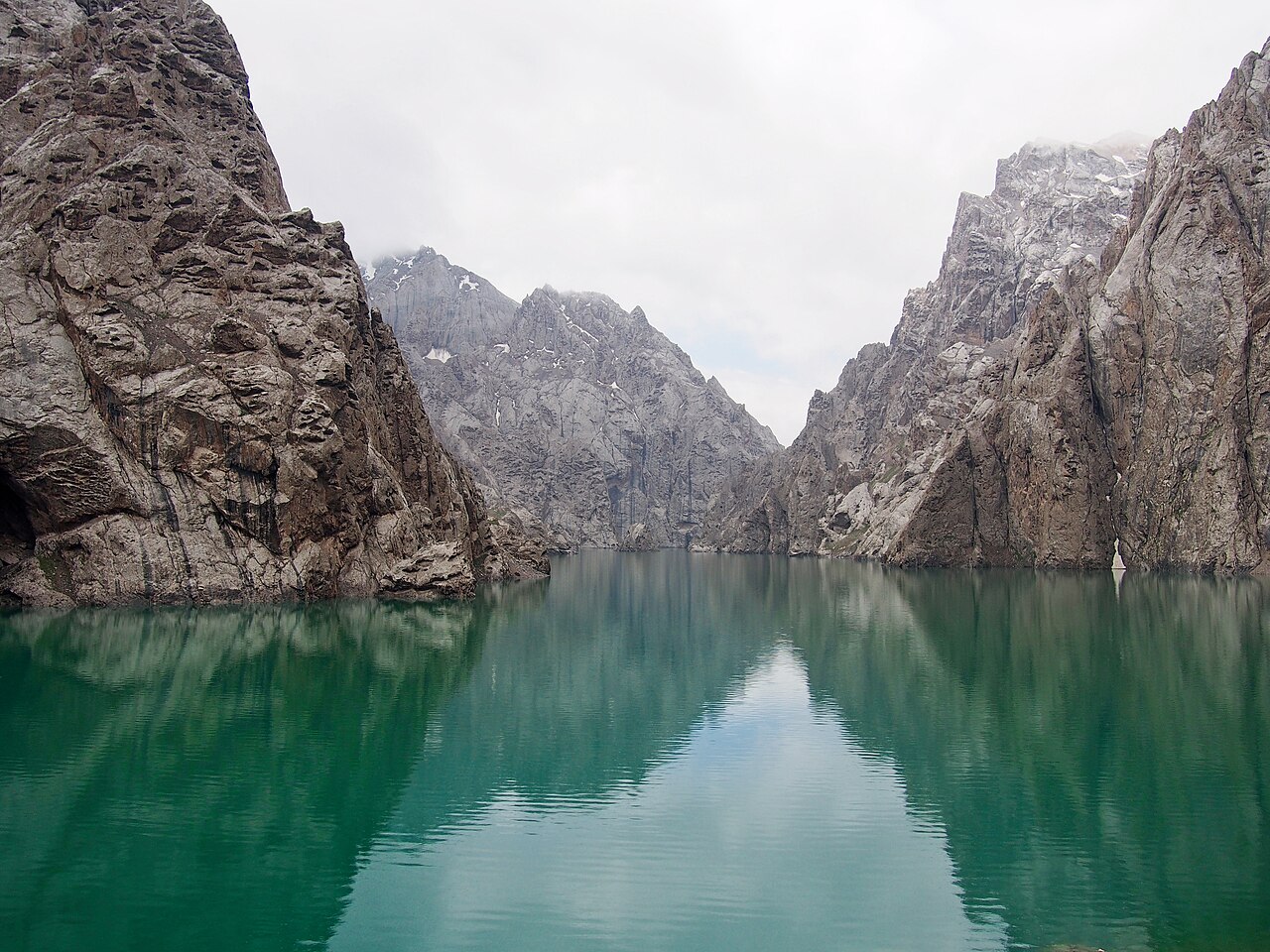
The purpose of the lake visit is to enjoy the cliff-framed setting with enough time to return comfortably. Follow the guide’s choice of approach and waiting place for the horses. Walk the final visitor section if asked, and keep clear of awkward shoreline edges when taking photographs. A lake marker cannot identify a safe ford or tell you how a seasonal stream is behaving.
Do not build the day around an assumed boat trip, a long lakeshore walk or another activity that has not been arranged. If weather reduces the time available, a shorter visit with a steady return is better than rushing the horses or the group.
Return and the next transfer
Return to the agreed camp and leave time for the horses, lunch and packing before the road journey. Confirm whether you stay another night or leave the valley that afternoon; these are separate options with different margins. The map contains known regional anchors only. No horse GPX was verified for this specific outing, and no line is drawn between Naryn and the lake. The camp location, actual trail and any crossings must come from your local team’s current plan.
Preparation and equipment
Local riding horses and a horse guide; a separate suitable vehicle is needed for the approach arranged by the organiser.
Track length: Not available. This distance covers the track shown on the map. Add any approach, return or transfer sections that are outside it.
Is this route for you?
Choose the route after checking the actual start, finish and terrain with a local guide. Mapped geometry alone does not establish technical difficulty. Your group should be comfortable navigating offline and changing plans when conditions deteriorate.
- With children
- Not available
- Dogs
- Check local rules
- Bicycles and pushchairs
- Not available
- Phone coverage
- Do not rely on it
What is nearby?
Naryn
Getting there
Arrange the Kok-Kyia camp, vehicle approach and documents through a local organiser before leaving Naryn.
Without a car
Confirm transport to the actual trailhead, not just the nearest town. Agree the return pickup point and a latest contact time before leaving mobile coverage.
By car & parking
Ask locally about road access, entry rules and a permitted place to park. Use the line only for its stated mode of travel and exact scope.
What you will find along the way
Kok-Kyia’s open mountain setting and the cliff-framed Kel-Suu lake area.
- Naryn transport and organisation base 41.4286, 75.9976
A point of the supplied route geometry. It does not by itself confirm a parking area, settlement or safe access. Read the access and route notes before planning your visit.
- Kel-Suu lake area 40.6431, 76.3950
A point of the supplied route geometry. It does not by itself confirm a parking area, settlement or safe access. Read the access and route notes before planning your visit.
Difficult sections & safety
Exposed mountain weather, wet ground, seasonal stream conditions and a long approach journey. A lake anchor does not define the horse path.
How much time to allow
Prefer a rested camp-based departure; leave time for the return, meal and any separately arranged road transfer.
When to go
Summer camp season; confirm weather, horse availability and current access before fixing dates.
What to bring
- Trail shoes or boots with good grip; layers, sun protection and waterproofs.
- Drinking water, food, a first-aid kit and a headlamp.
- An offline map, downloaded GPX, a charged phone and a power bank.
- An agreed return plan, local contact and a realistic fallback route.
GOOD QUESTIONS
Before you set out
Can I download GPX and KML?
No verified track is available for this particular line yet. The page provides a route overview and preparation notes.
Has this route been checked recently?
KyrgyzMap has not field-verified this route. The map source and licence are shown below. Look for approved traveller reports and check conditions with local guides.
Can I go with children?
Suitability for children is not confirmed for this exact route. Check terrain, exposure, river crossings and retreat options with a guide before deciding.
How is the elevation profile calculated?
No elevation readings are available for this route. The profile and total ascent remain unfilled.
Photo gallery
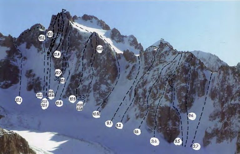
A regional landscape for context; it does not identify every section of the track.
7 photos · select to enlarge
Photographs show named places on this itinerary; they do not document the exact GPX recording.
Photo credits & licences
Photo: Mamatkazy · CC0 · Source · LicensePhoto: Калачев Сергей · CC BY 3.0 · Source · LicensePhoto: Калачев Сергей · CC BY 3.0 · Source · LicensePhoto: Калачев Сергей · CC BY 3.0 · Source · LicensePhoto: Калачев Сергей · CC BY 3.0 · Source · LicensePhoto: Калачев Сергей · CC BY 3.0 · Source · LicensePhoto: Eventyrlys · CC BY-SA 4.0 · Source · LicenseCurrent trail conditions
There are no published condition reports for this route yet.
Travelled this route or spotted an error?
Discussion
Start a conversation about the route, preparation or your experience. Comments are moderated.


Leave a comment