Nature & landscapes
Aigul-Too Mountain
Elevation above sea level: 2,200 m
The local tourism provider publishes 2200 m for Aigul Tash. Treat as a reported, rounded mountain elevation; the botanical reserve and the access road have different elevations.
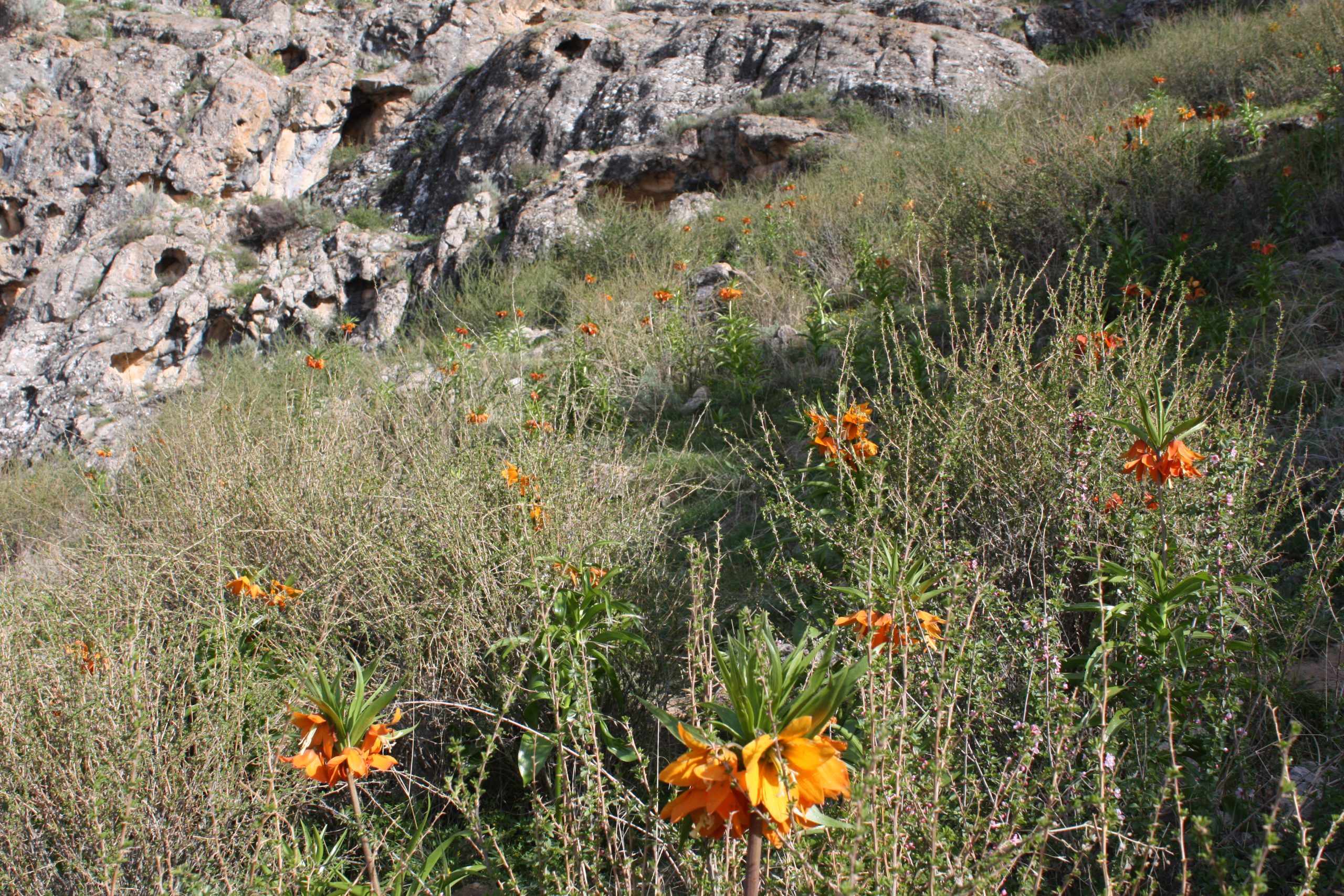
Aigul-Too is associated with the rare Aigul flower and has become a natural symbol of Batken. The most meaningful visit focuses on the protected plant habitat rather than collecting a flower or finding a guaranteed field of blooms.
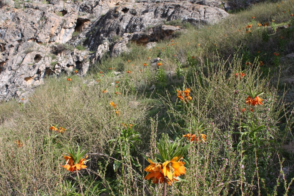 Photo: Askarjumagulov · CC BY-SA 4.0 · Source · License
Aigul-Too is associated with the rare Aigul flower and has become a natural symbol of Batken. The most meaningful visit focuses on the protected plant habitat rather than collecting a flower or finding a guaranteed field of blooms. Flowering depends on the year and conditions, so confirm the timing and permitted visitor routes locally before planning a special journey. Outside that brief period, the hill landscape still gives context to the region’s natural identity. Stay on designated paths, avoid trampling vegetation and leave every plant where it grows.
Plan your visit
Getting there
Confirm local access and the flowering period; use protected-area paths.
When to visit
Spring flowering period varies each year; confirm locally.
Good to know
Confirm local access, opening arrangements and any entry rules before travel. Respect protected sites and local communities; leave the place as you found it.
Photo gallery
Location on the map
Location: Aigul-Too Mountain
39.9304226,70.9540276