Mountain summit
Turdakun Usubaliev Peak
Elevation above sea level: 4,650 m
Elevation shown in the checked OpenStreetMap summit record; not a new survey.
Turdakun Usubaliev Peak is a high summit of the Kyrgyz Ala-Too in Chuy Region, also known in older route descriptions as Spartak.
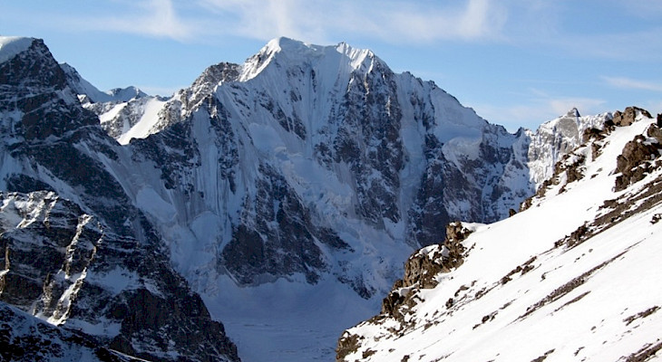 Photo: Kabar / Kyrgyz climbing expedition; individual photographer not named · Copyright retained; source credited; no open licence stated · Source · License
Turdakun Usubaliev Peak is a high summit of the Kyrgyz Ala-Too in Chuy Region, also known in older route descriptions as Spartak.
One supplied route line reaches the immediate summit area. That supports the geographical identification of the recorded outing, but not a difficulty grade or an assertion of present-day safety. A historical track does not describe every protection point, snow condition or descent decision. Use it together with a properly assessed mountaineering route and a clear understanding of the approach.
This is a summit objective, distinct from a short visit to the lower Alamedin or Issyk-Ata valleys. Plan the full ascent, retreat and return with the experience required by the chosen line. The precise point is useful for orientation and comparing names; it does not turn the mountain into a marked public trail or establish an appropriate route for a beginner.
OSM named peak. Historical-route correspondence was checked separately, not a field safety inspection.
Plan your visit
Getting there
Arrange an assessed ascent route with appropriate mountain experience; a summit coordinate is not a normal walking trail.
When to visit
High-mountain conditions require a current route-specific assessment; no general summer or winter suitability is established.
Good to know
Confirm local access, opening arrangements and any entry rules before travel. Respect protected sites and local communities; leave the place as you found it.
Sights in and around Turdakun Usubaliev Peak
Open each place for its description and visit details. Out-of-town stops require a separate journey.
Chuy Region
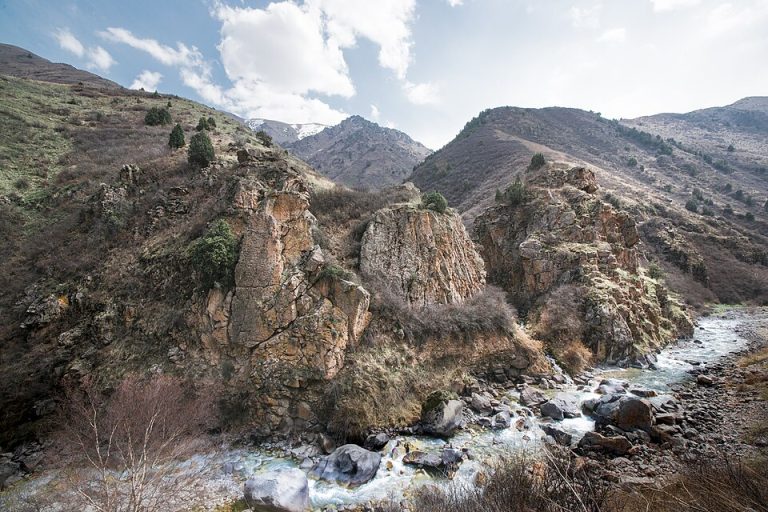
Alamedin Gorge
Alamedin is a river gorge on the northern side of the Kyrgyz Ala-Too, south of Bishkek. Its lower valley offers a gradual introduction to the mountains: an open river corridor, grassy slopes and views towards the higher range.
Chuy Region
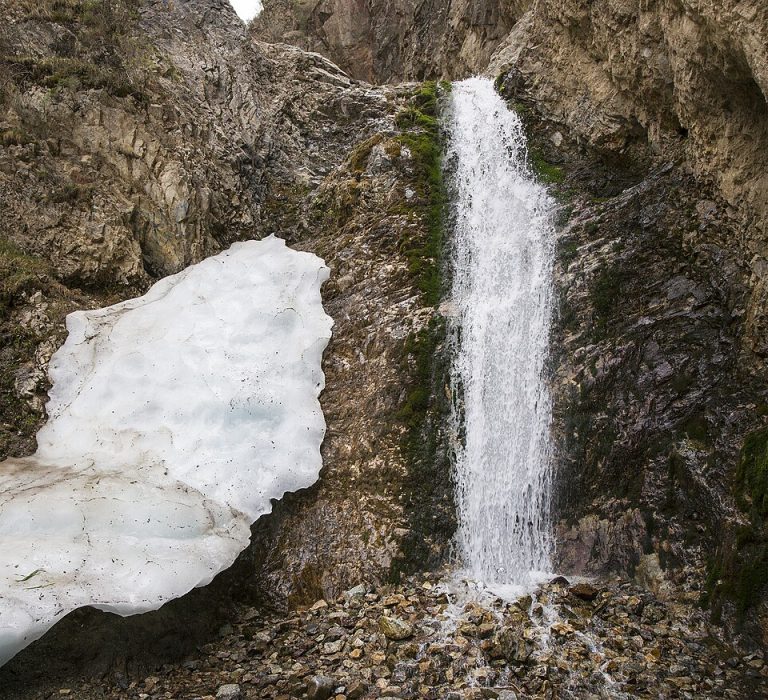
Issyk-Ata Gorge and Resort
Issyk-Ata combines a mountain valley, a long-established spa setting and traces of an older religious landscape.
Photo gallery
2 photos · select to enlarge
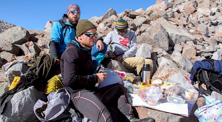
Photo credits & licences
Photo: Kabar / Kyrgyz climbing expedition; individual photographer not named · Copyright retained; source credited; no open licence stated · Source · LicensePhoto: Kabar / Kyrgyz climbing expedition; individual photographer not named · Copyright retained; source credited; no open licence stated · Source · LicenseLocation on the map
Location: Turdakun Usubaliev Peak
42.5297163,74.742361