Mountain village
Kunelek Village
Kunelek is a village in Alay District of Osh Region. It is an inhabited reference point for journeys across the surrounding mountains.
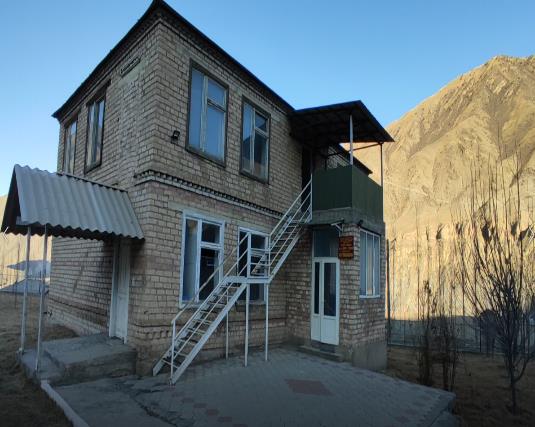 Photo: Ministry of Education and Science of the Kyrgyz Republic, Education for the Future project; individual photographer not named · Copyright retained; source credited; no open licence stated · Source · License
Kunelek is a village in Alay District of Osh Region. It is an inhabited reference point for journeys across the surrounding mountains.
The place is useful for understanding the relationship between inhabited valleys and the surrounding mountain routes. A village point identifies the settlement, not a particular guesthouse, transport service or public trailhead. Current facilities and onward connections need local confirmation.
Plan your visit
Getting there
Confirm the actual settlement approach and onward transport locally.
When to visit
Check current mountain-road and local transport conditions.
Good to know
Confirm local access, opening arrangements and any entry rules before travel. Respect protected sites and local communities; leave the place as you found it.
Photo gallery
Location on the map
Location: Kunelek Village
40.1420785,73.5091522