Mountain summit
Savatar-Bashi Peak
Elevation above sea level: 4,050 m
Elevation shown in the checked OpenStreetMap summit record; not a new survey.
Savatar-Bashi is a mountain summit in upper Ala-Archa, east of Adygene Peak.
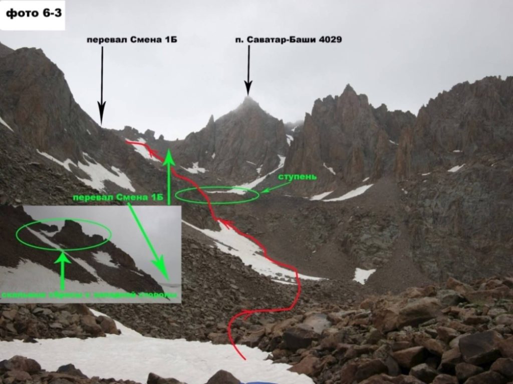 Photo: Konstantin Grashin and 2016 expedition group, Moscow · Copyright retained; source credited; no open licence stated · Source
Savatar-Bashi is a mountain summit in upper Ala-Archa, east of Adygene Peak.
The distinctive geographical relationship is between that elevated ridge setting and the main Ala-Archa valley below. A descent changes the perspective from the mountain skyline to the river corridor and its lower slopes. The Adygene catchment is part of the nearby mountain context, but the summit should not be confused with a lakeside destination or with Adygene Peak itself.
Named summit reference from the cited map or primary report, not a trailhead.
Plan your visit
Getting there
Ala-Archa is the geographical approach area. Confirm the intended trail, access and conditions locally.
When to visit
The lower valley, lake basin and summit have different snow and weather conditions; check the intended objective separately.
Good to know
Confirm local access, opening arrangements and any entry rules before travel. Respect protected sites and local communities; leave the place as you found it.
Sights in and around Savatar-Bashi Peak
Open each place for its description and visit details. Out-of-town stops require a separate journey.
Chuy Region
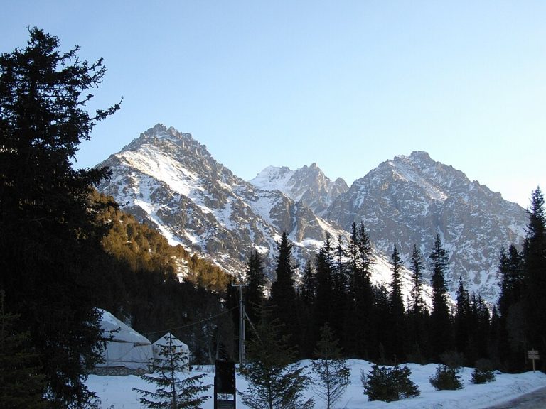
Ala-Archa National Park
Ala-Archa brings the high Tian Shan within reach of a day trip from Bishkek. The river valley leads from juniper-covered slopes towards rocky peaks, glaciers and increasingly demanding mountain paths.
Chuy Region
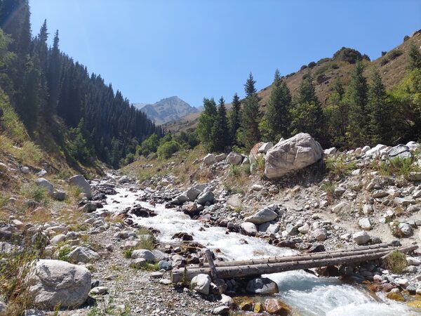
Adygene Valley
Adygene is a side valley of the Ala-Archa basin in the Kyrgyz Ala-Too, south of Bishkek in Chuy Region.
Photo gallery
1 photos · select to enlarge
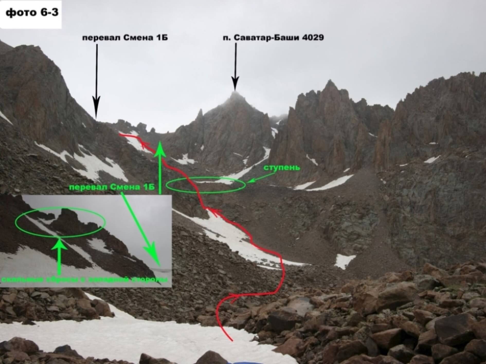
Photo credits & licences
Photo: Konstantin Grashin and 2016 expedition group, Moscow · Copyright retained; source credited; no open licence stated · SourceLocation on the map
Location: Savatar-Bashi Peak
42.5016751,74.4484164