Mountain summit
Jalamysh Peak
Elevation above sea level: 4,220 m
Elevation shown in the checked OpenStreetMap summit record; not a new survey. Other checked source values: 4150 m (The climbing classification table publishes this alternative; the discrepancy is unresolved.)
Jalamysh Peak lies in the western high mountains of the Ala-Archa area, near a pass of the same name.
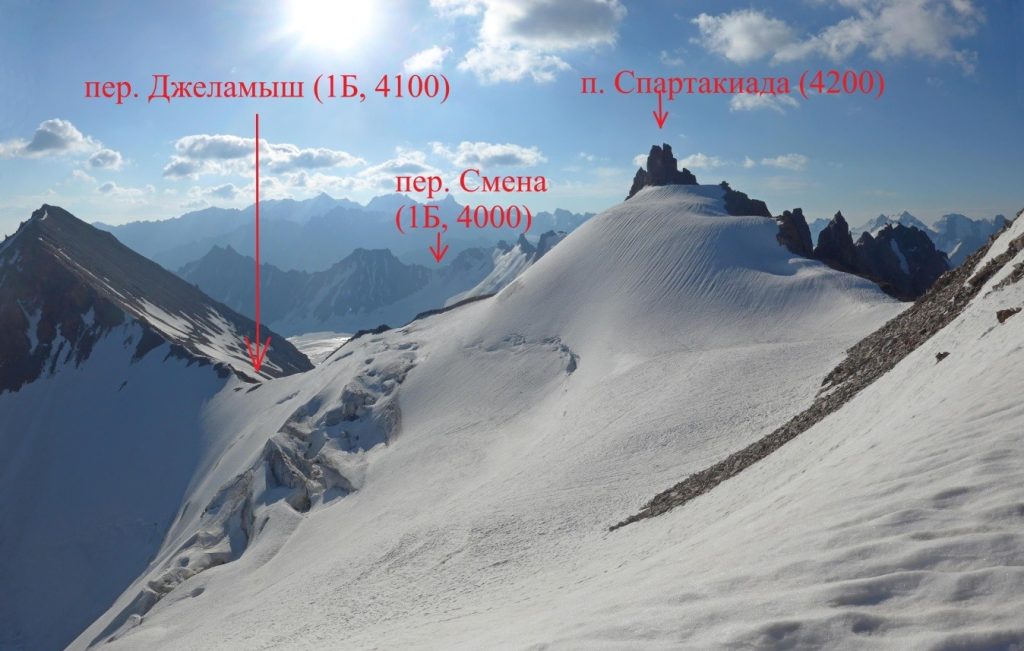 Photo: Evgeny Vishnyakov and the July–August 2019 Moscow Region expedition group; individual image author not specified · Copyright retained; source credited; no open licence stated · Source
Jalamysh Peak lies in the western high mountains of the Ala-Archa area, near a pass of the same name.
Their proximity makes the relationship between peak and saddle the main interest of this setting. The surrounding upper slopes connect different catchments, so a route ending near the pass need not descend back through the valley from which it began. Jalamysh should also be distinguished from any other summit name appearing in a longer traverse description.
Named summit reference from the cited map or primary report, not a trailhead.
Plan your visit
Getting there
Ala-Archa is the geographical approach area. Confirm the intended trail, access and conditions locally.
When to visit
The lower valley, lake basin and summit have different snow and weather conditions; check the intended objective separately.
Good to know
Confirm local access, opening arrangements and any entry rules before travel. Respect protected sites and local communities; leave the place as you found it.
Sights in and around Jalamysh Peak
Open each place for its description and visit details. Out-of-town stops require a separate journey.
Chuy Region
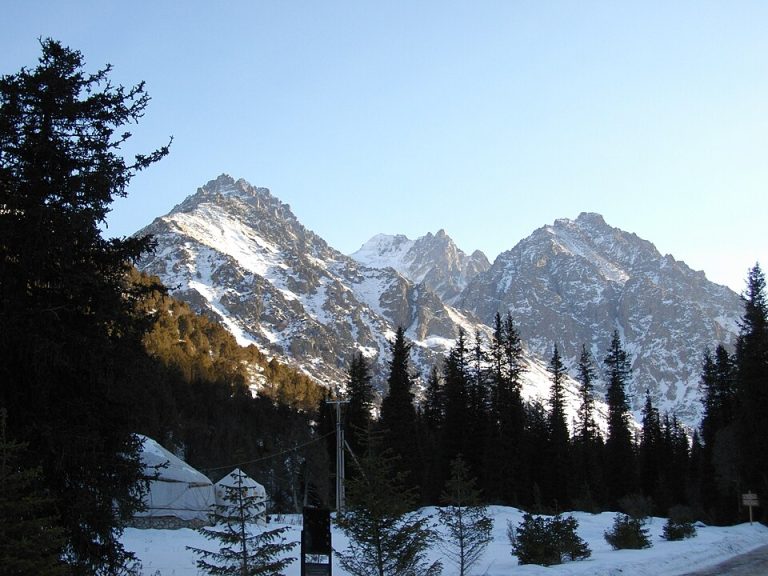
Ala-Archa National Park
Ala-Archa brings the high Tian Shan within reach of a day trip from Bishkek. The river valley leads from juniper-covered slopes towards rocky peaks, glaciers and increasingly demanding mountain paths.
Chuy Region
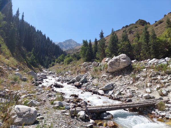
Adygene Valley
Adygene is a side valley of the Ala-Archa basin in the Kyrgyz Ala-Too, south of Bishkek in Chuy Region.
Photo gallery
2 photos · select to enlarge
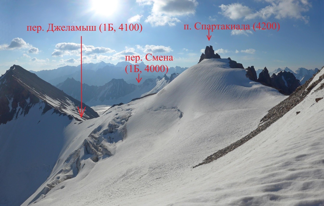
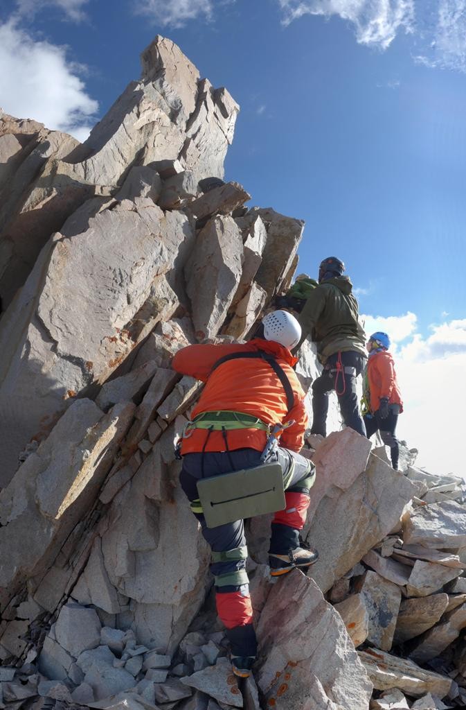
Photo credits & licences
Photo: Evgeny Vishnyakov and the July–August 2019 Moscow Region expedition group; individual image author not specified · Copyright retained; source credited; no open licence stated · SourcePhoto: Evgeny Vishnyakov and the July–August 2019 Moscow Region expedition group; individual image author not specified · Copyright retained; source credited; no open licence stated · SourceLocation on the map
Location: Jalamysh Peak
42.4973935,74.4127539