ROUTE OVERVIEW
At a glance
Route and stops
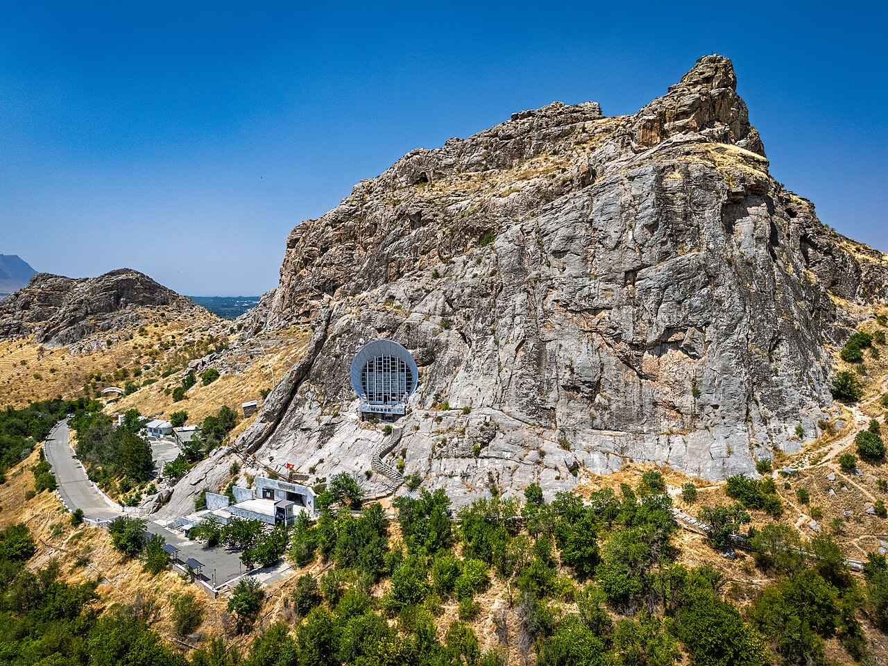
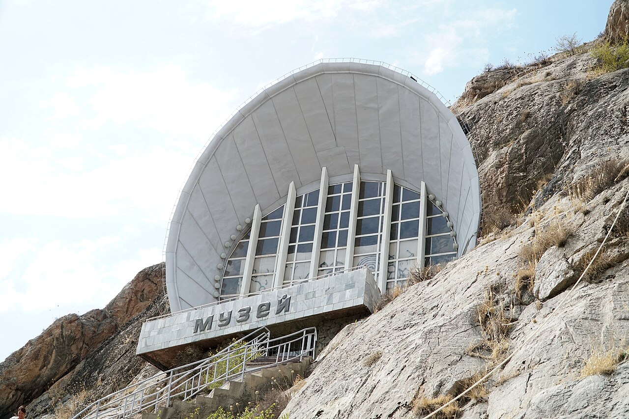
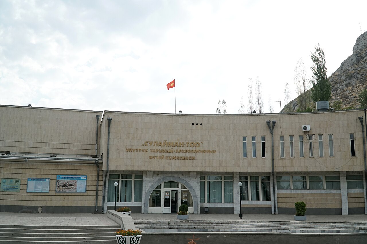
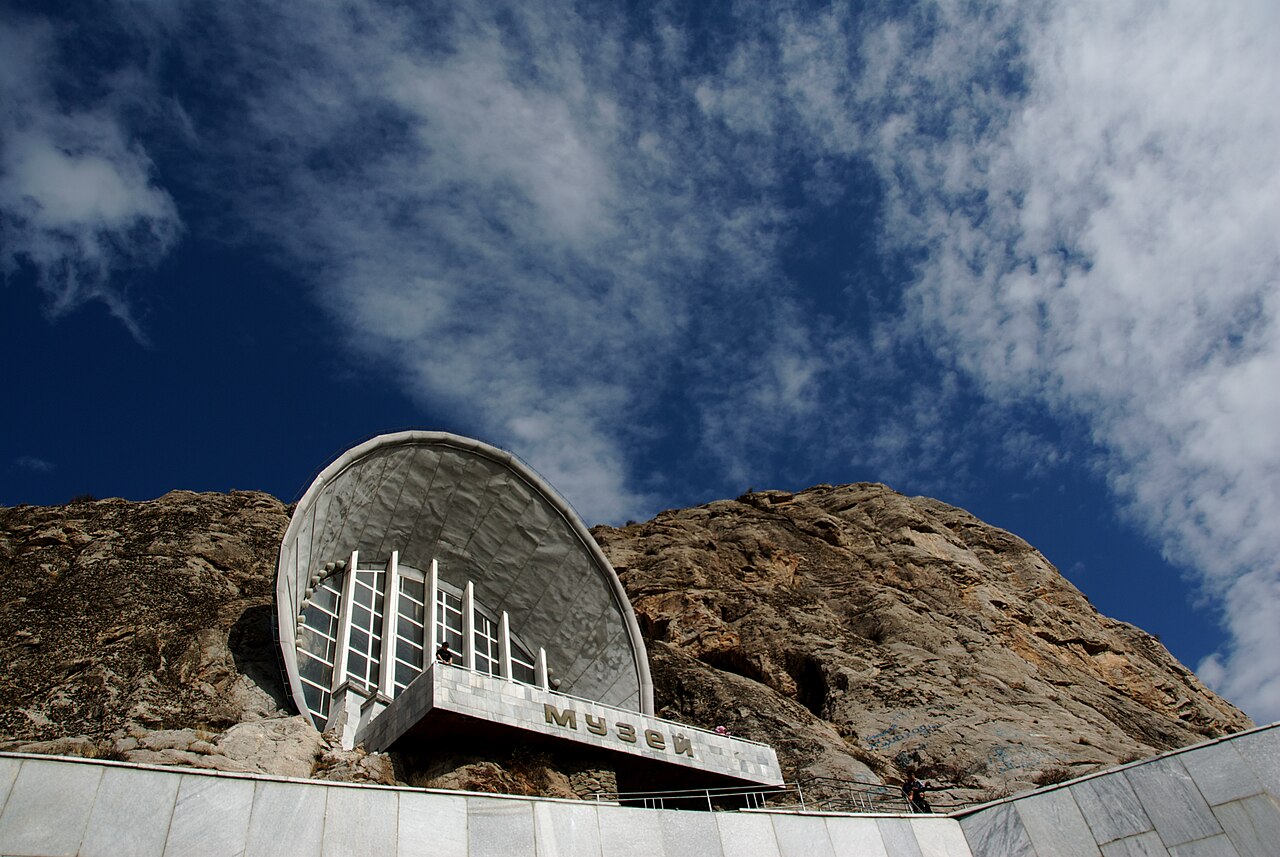
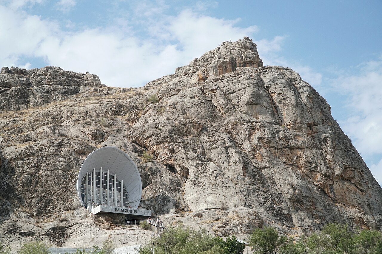
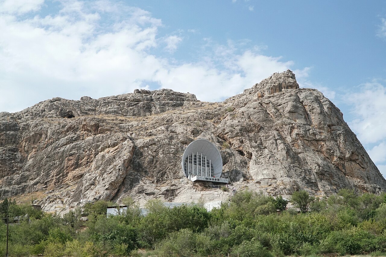
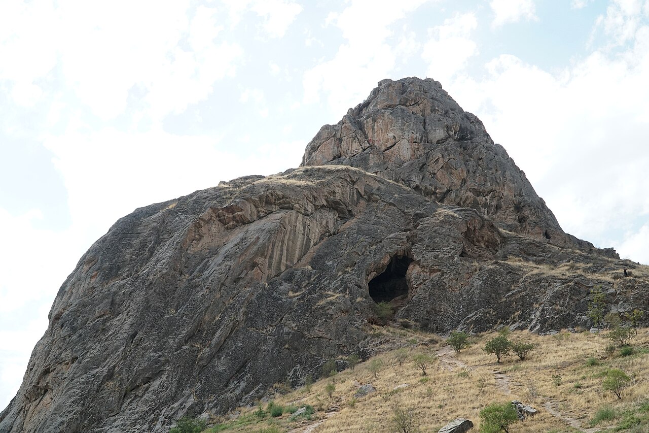
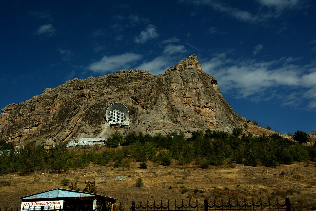
Sulaiman-Too should be approached as a living sacred landscape within Osh. Begin with the cave museum, if it is open, to put the mountain's archaeology and cultural importance in context. The museum visit is a separate activity with its own admission arrangements. Continue only along the public paths that are open on the day; the mapped mountain point is an orientation marker, not permission to scramble directly towards it.
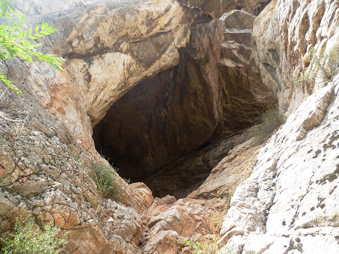
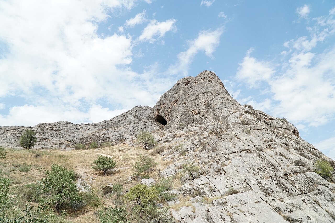
The next stage is a slow walk on the sacred mountain, with pauses to observe how rocks, caves, places of worship and views over the city belong to one landscape. UNESCO identifies the continuing connection between pre-Islamic and Islamic traditions here. That heritage is best understood by watching respectfully and, where available, listening to a local guide. Ritual participation is neither required nor part of this itinerary. Avoid interpreting religious beliefs about healing as medical advice.
Planning your visit
Reserve two to four hours depending on the museum and your chosen accessible turnaround point. This is a cultural walk with steps and exposed rock, so it can be harder than the short map distance suggests. Carry water, choose cooler daylight hours in summer and use shoes with good grip. Ask before photographing worshippers, dress considerately and leave carvings untouched. Never rub, wet or trace petroglyphs. Closures, slippery surfaces or fatigue are good reasons to shorten the walk and return by the permitted path.
Preparation and equipment
On foot in shoes with firm grip; stair and slope access needs checking for limited mobility.
Track length: 0.4 km. This distance covers the track shown on the map. Add any approach, return or transfer sections that are outside it.
Is this route for you?
Choose the route after checking the actual start, finish and terrain with a local guide. Mapped geometry alone does not establish technical difficulty. Your group should be comfortable navigating offline and changing plans when conditions deteriorate.
- With children
- Not available
- Dogs
- Check local rules
- Bicycles and pushchairs
- Not available
- Phone coverage
- Do not rely on it
What is nearby?
Osh
Getting there
Reach the first stop by city transport or taxi, then use public footpaths and crossings; indoor admission is separate.
Without a car
Confirm transport to the actual trailhead, not just the nearest town. Agree the return pickup point and a latest contact time before leaving mobile coverage.
By car & parking
Ask locally about road access, entry rules and a permitted place to park. Use the line only for its stated mode of travel and exact scope.
Difficult sections & safety
Heat, slippery polished rock, steep steps and exposed sections; respect worshippers and obey closures.
How much time to allow
Confirm current opening, tickets, guides and photography rules directly. Times given here are planning estimates, not a verified timetable.
When to go
Year-round in suitable weather; verify venue access for your date.
What to bring
- Trail shoes or boots with good grip; layers, sun protection and waterproofs.
- Drinking water, food, a first-aid kit and a headlamp.
- An offline map, downloaded GPX, a charged phone and a power bank.
- An agreed return plan, local contact and a realistic fallback route.
GOOD QUESTIONS
Before you set out
Can I download GPX and KML?
Yes. The downloads above contain this route geometry for an offline navigation app. They do not confirm current conditions.
Has this route been checked recently?
KyrgyzMap has not field-verified this route. The map source and licence are shown below. Look for approved traveller reports and check conditions with local guides.
Can I go with children?
Suitability for children is not confirmed for this exact route. Check terrain, exposure, river crossings and retreat options with a guide before deciding.
How is the elevation profile calculated?
No elevation readings are available for this route. The profile and total ascent remain unfilled.
Photo gallery
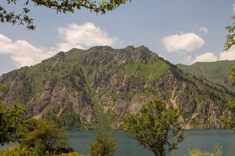
A regional landscape for context; it does not identify every section of the track.
10 photos · select to enlarge
Photographs show named places on this itinerary; they do not document the exact GPX recording.
Photo credits & licences
Photo: Nefesh03 · CC BY-SA 4.0 · Source · LicensePhoto: Adam Harangozó · CC BY-SA 4.0 · Source · LicensePhoto: Adam Harangozó · CC BY-SA 4.0 · Source · LicensePhoto: Dave Proffer · CC BY 2.0 · Source · LicensePhoto: Radosław Botev · CC BY 3.0 pl · Source · LicensePhoto: Adam Harangozó · CC BY-SA 4.0 · Source · LicensePhoto: Adam Harangozó · CC BY-SA 4.0 · Source · LicensePhoto: Adam Harangozó · CC BY-SA 4.0 · Source · LicensePhoto: Adam Harangozó · CC BY-SA 4.0 · Source · LicensePhoto: Dave Proffer · CC BY 2.0 · Source · LicenseCurrent trail conditions
There are no published condition reports for this route yet.
Travelled this route or spotted an error?
Discussion
Start a conversation about the route, preparation or your experience. Comments are moderated.


Leave a comment