History & heritage
Sulaiman-Too Sacred Mountain
Elevation above sea level: 1,175 m
The Osh municipality gives 1175 m for the highest of Sulaiman-Too’s five summits. This does not describe the elevation of every museum, path or viewpoint on the hill.
Sulaiman-Too rises within Osh as a five-peaked sacred mountain. UNESCO inscribed the cultural landscape in 2009, recognising the long interaction between a striking natural landmark and religious practice.
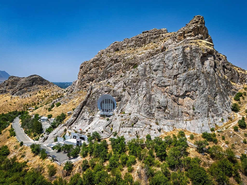 Photo: Nefesh03 · CC BY-SA 4.0 · Source · License
Sulaiman-Too rises within Osh as a five-peaked sacred mountain. UNESCO inscribed the cultural landscape in 2009, recognising the long interaction between a striking natural landmark and religious practice. Rock art, shrines, caves, worn paths and buildings belong to different periods. Looking at them together makes the visit more meaningful than treating the mountain as one viewpoint.
The UNESCO nomination describes a network of individually named sacred places. Eshen-Unkur, Chiltenkhana and Chaka-Tamar are separate caves, while Rusha-Unkur contains the cave museum. Babur’s prayer house, the mosque at the foot and the Asaf ibn Burkhiya mausoleum add architectural layers. A name on a map should not be assumed to identify the museum or to indicate an open underground passage.
The mountain’s traditions include accounts of prayer, fertility and healing. These are part of its living cultural history; they do not establish medical effects. Observe rituals respectfully without assuming that visitors must repeat them. Ask before photographing people engaged in prayer, and protect rock art by leaving it untouched.
Begin with museum information about current paths and accessible monuments. Historic steps and rock surfaces can be worn and smooth, and the nomination’s description is not a present-day safety assessment. Allow time for the relationship between the city, the mountain and its individual places. Admission arrangements for a museum, a religious building and the surrounding paths may differ; confirm each locally rather than applying one opening schedule to the entire property.
Geographic reference, not a guaranteed entrance, trailhead or navigation route.
Plan your visit
Getting there
Visit as part of the Sulaiman-Too museum and sacred landscape; confirm which areas are open locally and respect worshippers.
When to visit
Year-round; opening arrangements and conditions may vary.
Good to know
Confirm local access, opening arrangements and any entry rules before travel. Respect protected sites and local communities; leave the place as you found it.
Photo gallery
10 photos · select to enlarge
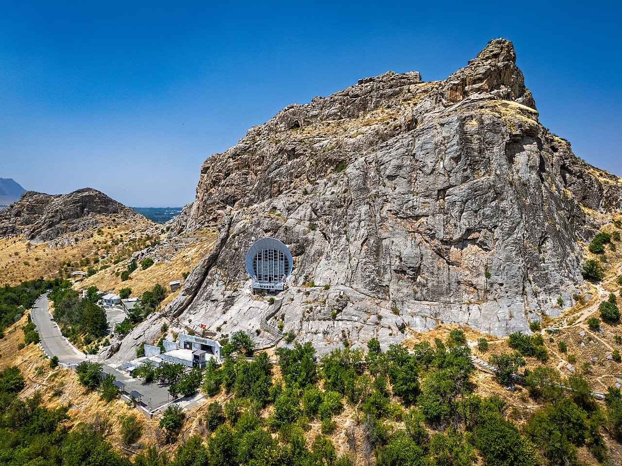
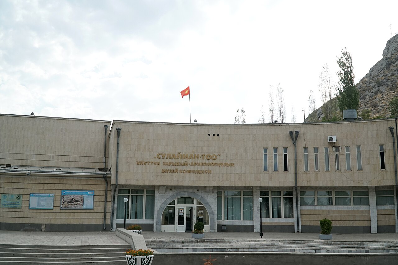
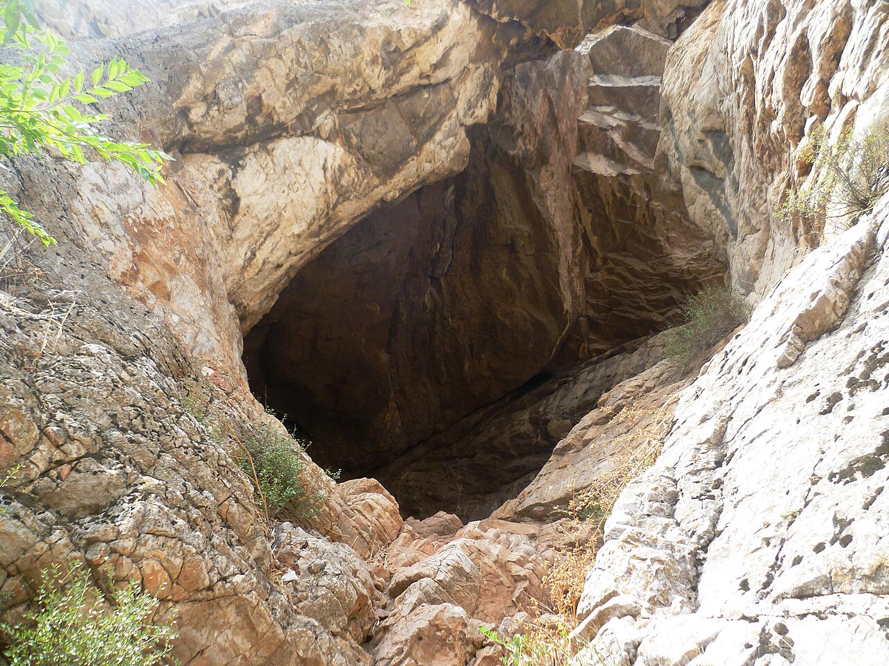
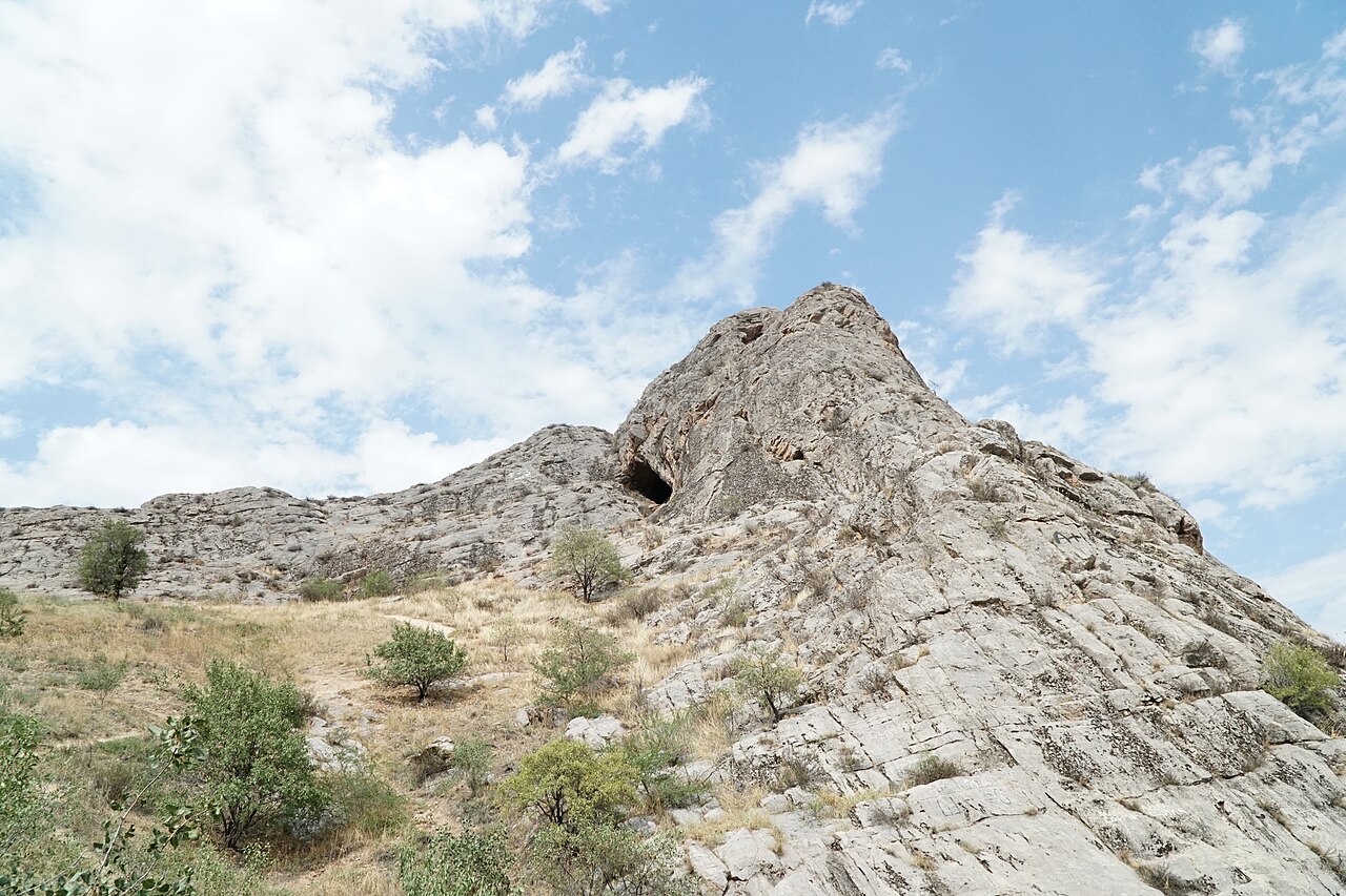
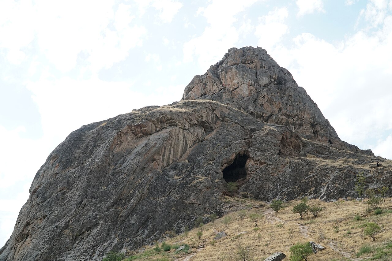
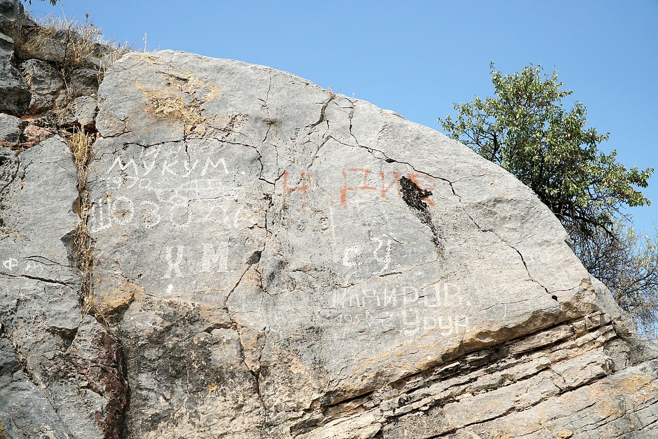
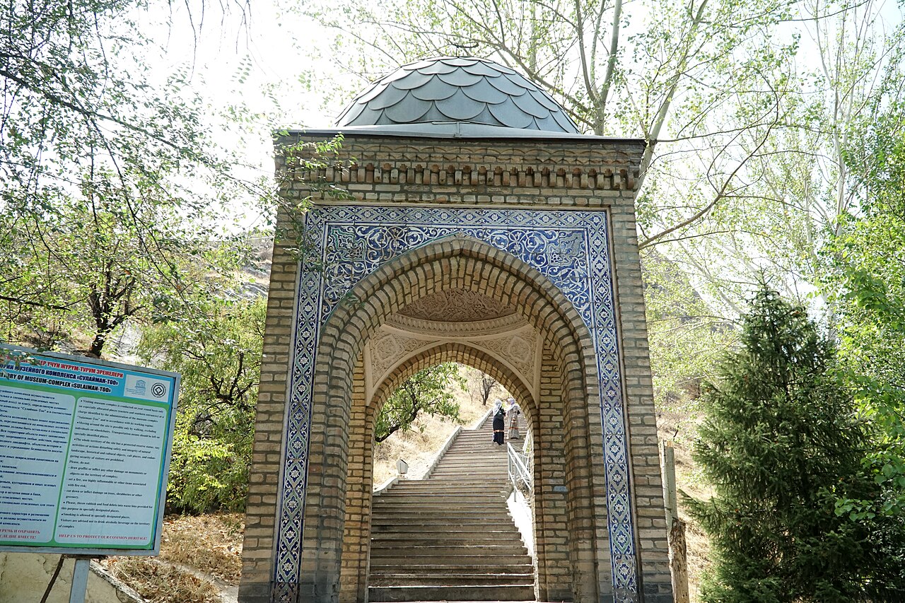
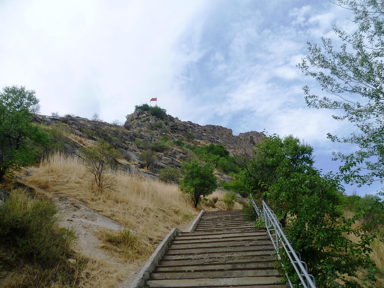
Photo credits & licences
Photo: Nefesh03 · CC BY-SA 4.0 · Source · LicensePhoto: Adam Harangozó · CC BY-SA 4.0 · Source · LicensePhoto: Radosław Botev · CC BY 3.0 pl · Source · LicensePhoto: Adam Harangozó · CC BY-SA 4.0 · Source · LicensePhoto: Adam Harangozó · CC BY-SA 4.0 · Source · LicensePhoto: Adam Harangozó · CC BY-SA 4.0 · Source · LicensePhoto: Adam Harangozó · CC BY-SA 4.0 · Source · LicensePhoto: Adam Harangozó · CC BY-SA 4.0 · Source · LicensePhoto: Adam Harangozó · CC BY-SA 4.0 · Source · LicensePhoto: Radosław Botev · CC BY 3.0 pl · Source · LicenseLocation on the map
Location: Sulaiman-Too Sacred Mountain
40.529444,72.783333