ABOUT THE PLACE
About this place
The Adygene lakes lie in the upper part of a side valley of Ala-Archa, within the Kyrgyz Ala-Too of Chuy Region. They belong to a glacier-influenced landscape where water, moraine debris and buried ice interact. The attraction is the contrast with the lower wooded valley: open rocky ground, mountain water and the headwater setting take over as the surroundings become more alpine.
This is a lake system with several water bodies, not a single uniform basin. Research has documented lakes formed at different stages of glacier retreat and connections that can carry meltwater underground. The scientific numbered lakes and an individual lakeside walking destination should not be assumed to be identical. Ministry monitoring reported in July 2024 describes a historical inspection; present conditions still need checking.
The named trail concerns the approach in Adygene; consult its displayed line for its actual ending rather than treating every Adygene route as the same lake visit.
ROUTE OVERVIEW
At a glance
A mountain trail through the Adygene Valley towards its high lakes. The GPX includes a branch, so check which sections belong in your itinerary.
Track length: 7.0 km. This distance covers the track shown on the map. Add any approach, return or transfer sections that are outside it.
Is this route for you?
Choose the route after checking the actual start, finish and terrain with a local guide. Mapped geometry alone does not establish technical difficulty. Your group should be comfortable navigating offline and changing plans when conditions deteriorate.
- With children
- Not available
- Dogs
- Check local rules
- Bicycles and pushchairs
- Not available
- Phone coverage
- Do not rely on it
What is nearby?
Chuy / Ala Archa
Getting there
Bishkek is the practical city base. Arrange transport to the specific valley or park access point and a return pickup; the GPX first point is not a verified vehicle drop-off.
Without a car
Confirm transport to the actual trailhead, not just the nearest town. Agree the return pickup point and a latest contact time before leaving mobile coverage.
By car & parking
Ask locally about road access, entry rules and a permitted place to park. Use the line only for its stated mode of travel and exact scope.
What you will find along the way
An OSM hiking relation in the Adygene valley, separate from the shorter Adygene Loop. The exported line has a branch and should be inspected before choosing an itinerary.
- Geometry start 42.5599, 74.4577
A point of the supplied route geometry. It does not by itself confirm a parking area, settlement or safe access. Read the access and route notes before planning your visit.
- Geometry end 42.5128, 74.4383
A point of the supplied route geometry. It does not by itself confirm a parking area, settlement or safe access. Read the access and route notes before planning your visit.
Difficult sections & safety
Mountain weather can change quickly. Rain affects traction and river crossings; snow can remain on shaded slopes. Never assume a mapped line confirms a safe crossing or a passable trail. Check recent conditions locally, set a turnaround time and leave your plan with someone who can raise the alarm.
How much time to allow
No verified walking duration for this exact GPX. Choose daily stages after assessing ascent, descent, terrain, river crossings, daylight and the approach/return distance.
When to go
Summer is the planning baseline for mountain trekking; this is not confirmation that every pass is clear. Check snow, river levels and the local forecast shortly before departure.
What to bring
Match water, food and clothing to the actual outing duration and forecast.
- Trail shoes or boots with good grip; layers, sun protection and waterproofs.
- Drinking water, food, a first-aid kit and a headlamp.
- An offline map, downloaded GPX, a charged phone and a power bank.
- An agreed return plan, local contact and a realistic fallback route.
GOOD QUESTIONS
Before you set out
Can I download GPX and KML?
Yes. The downloads above contain this route geometry for an offline navigation app. They do not confirm current conditions.
Has this route been checked recently?
KyrgyzMap has not field-verified this route. The map source and licence are shown below. Look for approved traveller reports and check conditions with local guides.
Can I go with children?
Suitability for children is not confirmed for this exact route. Check terrain, exposure, river crossings and retreat options with a guide before deciding.
How is the elevation profile calculated?
Estimated terrain profile: NASA SRTM, 30 m resolution. This is a model estimate along the mapped line, not device-recorded altitude. Separate segments are not connected.
Photo gallery
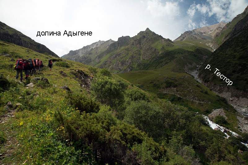
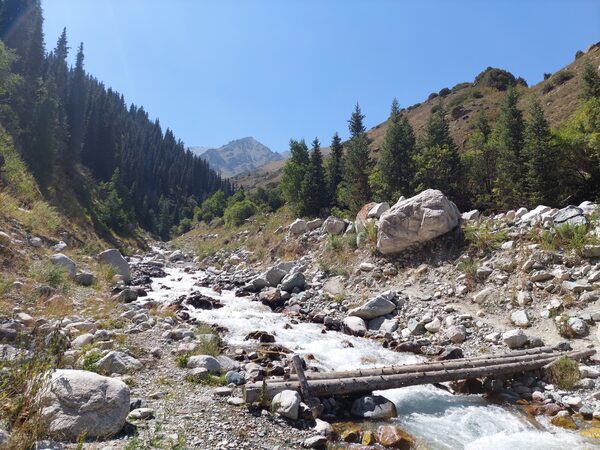
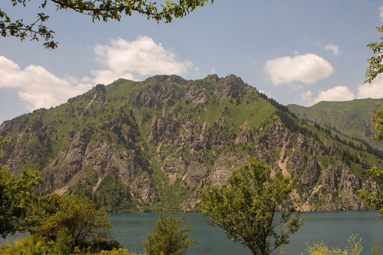
A regional landscape for context; it does not identify every section of the track.
2 photos · select to enlarge
Photographs show named places on this itinerary; they do not document the exact GPX recording.
Photo credits & licences
Photo: O.G. Lukyanov expedition group, 2015; individual photographer not identified · Copyright retained; source credited; no open licence stated · Source · LicensePhoto: Михаил Александр (Mikhail Aleksandr), Hiking.kg; site author credit · Copyright retained; source credited; no open licence stated · Source · LicenseCurrent trail conditions
There are no published condition reports for this route yet.
Travelled this route or spotted an error?
Discussion
Start a conversation about the route, preparation or your experience. Comments are moderated.


Leave a comment