Lakes & reservoirs
Chatyr-Kul Lake
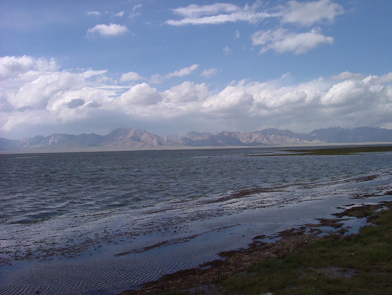
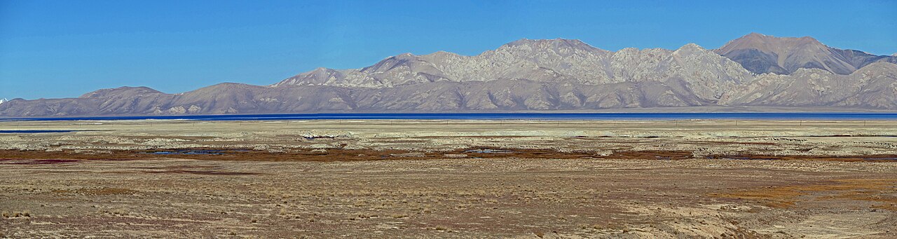
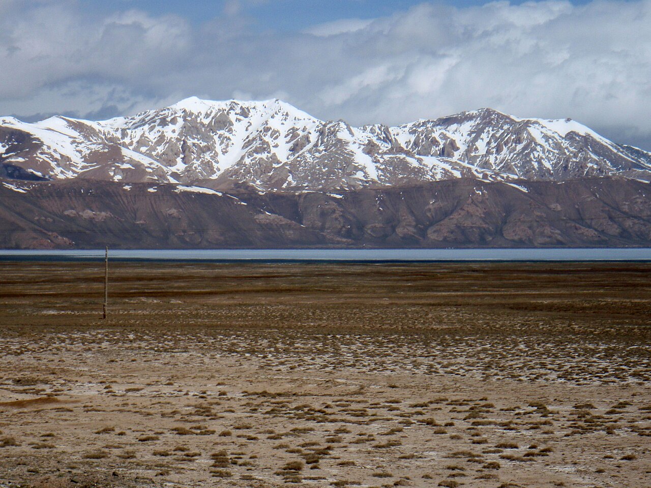
Chatyr-Kul occupies a remote high-altitude basin near the Torugart route. Its open shores and wetland setting offer a quieter, more austere landscape than the developed shores of Issyk-Kul.
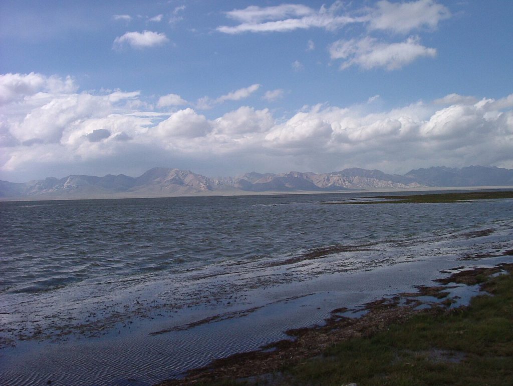 Photo: Nurdjen · Public domain · Source
Chatyr-Kul occupies a remote high-altitude basin near the Torugart route. Its open shores and wetland setting offer a quieter, more austere landscape than the developed shores of Issyk-Kul. This is a place to appreciate from an appropriate, authorised approach rather than to treat as an unrestricted picnic beach. The area has conservation importance and lies close to the international border, making access planning essential. Arrange permits where required, keep away from sensitive wildlife areas and ask local specialists about routes before committing to the long journey from Naryn.
Plan your visit
Getting there
Remote border-area approach; confirm permits and protected-area rules.
When to visit
July–August is the usual high-mountain travel window; confirm snow conditions.
Good to know
Confirm local access, opening arrangements and any entry rules before travel. Respect protected sites and local communities; leave the place as you found it.
Photo gallery
Location on the map
Location: Chatyr-Kul Lake
40.633333,75.283333