Mountain summit
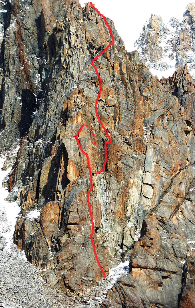
Gymnica 2000 Tower
Elevation above sea level: 4,020 m
The 2016 first-ascent account assigns 4020 m to Tower Gymnica 2000. The number names the tower elevation, not the route length.
Gymnica 2000 is a rock tower between Uchitel and Baichechekey peaks in Ala-Archa. The name comes from an expedition report.
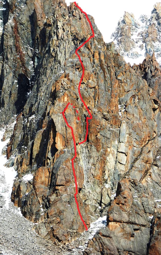 Photo: Marcello Sanguineti / American Alpine Journal · Copyright retained; source credited; no open licence stated · Source
Gymnica 2000 is a rock tower between Uchitel and Baichechekey peaks in Ala-Archa. The name comes from an expedition report.
The authors describe climbing its southern pillar in 2016. A pillar is a projecting part of a mountain face, so the tower and its southern climbing feature are related but distinct. The interest is the close arrangement of separate rock forms above the glacier area, where a short distance on a panorama can separate very different alpine objectives.
Named summit reference from the cited map or primary report, not a trailhead.
Plan your visit
Getting there
Ala-Archa is the geographical approach area. Confirm the intended trail, access and conditions locally.
When to visit
The lower valley, lake basin and summit have different snow and weather conditions; check the intended objective separately.
Good to know
Confirm local access, opening arrangements and any entry rules before travel. Respect protected sites and local communities; leave the place as you found it.
Sights in and around Gymnica 2000 Tower
Open each place for its description and visit details. Out-of-town stops require a separate journey.
Chuy Region
Uchitel Peak
Elevation above sea level: 4,530 m
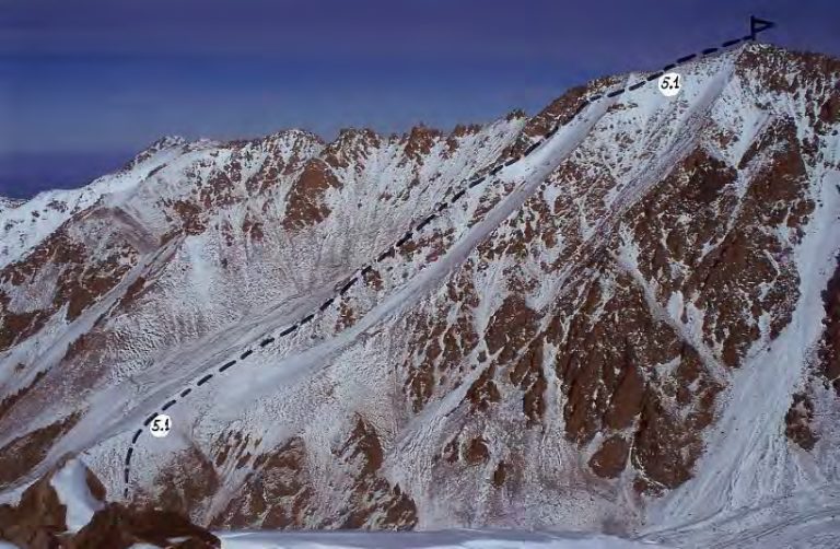
Uchitel is a summit above the Ratsek area in Ala-Archa. Route descriptions connect the lower mountain base with a sustained upper scree ascent.
Chuy Region
Baichechekey Peak
Elevation above sea level: 4,515 m
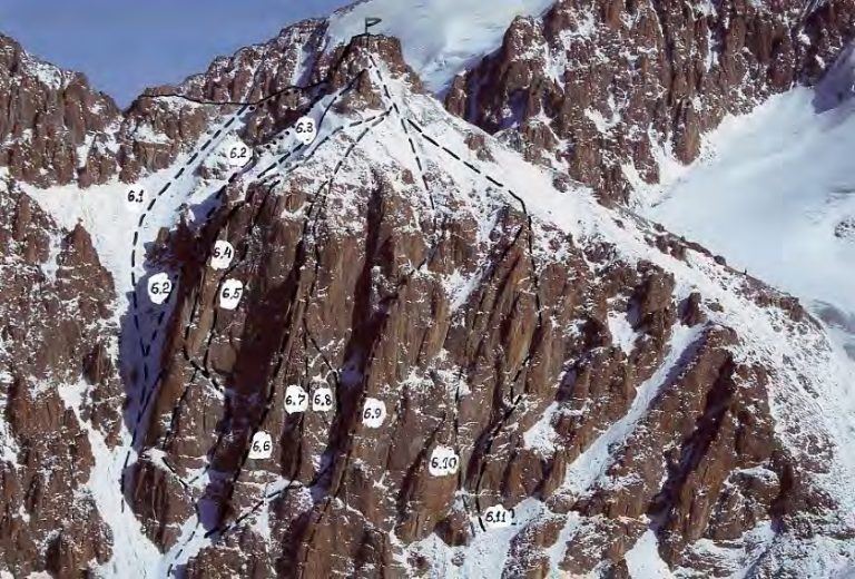
Baichechekey is a climbing objective in the Ala-Archa mountains. Published accounts describe a technical rock line on its western side; that account is useful reading for climbers interested in the area’s established and newer routes.
Photo gallery
1 photos · select to enlarge