Mountain valley
Urmaral Valley
Urmaral is one of the mountain-valley directions associated with the Talas Ala-Too. It gives the visitor a chance to explore a river and pasture landscape beyond the main valley’s settlements.
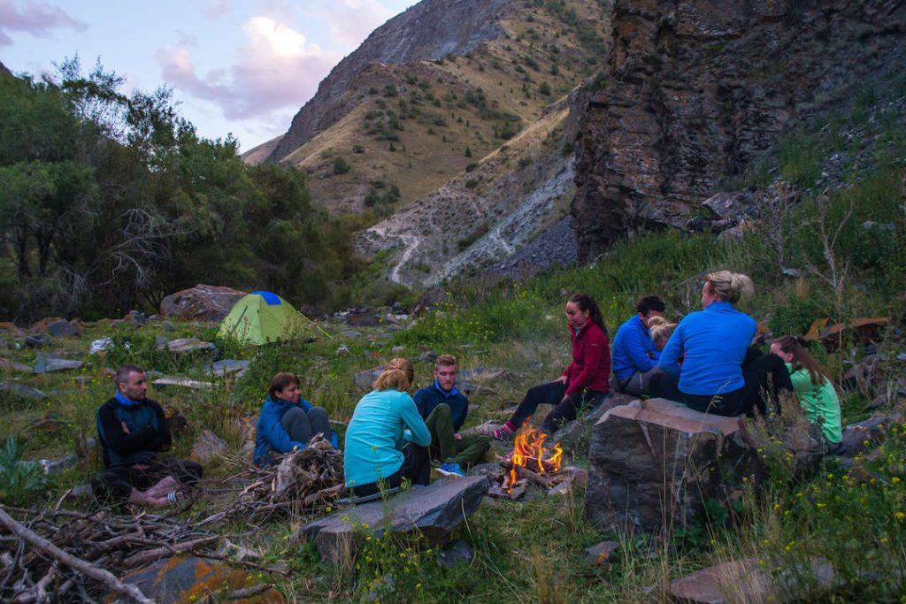 Photo: Pohid V Gory hiking club; individual photographer not named · Copyright retained; source credited; no open licence stated · Source · License
Urmaral is one of the mountain-valley directions associated with the Talas Ala-Too. It gives the visitor a chance to explore a river and pasture landscape beyond the main valley’s settlements. The name is also used for a village and a river, so a general search result does not by itself establish the beginning of an upper-valley walk.
The tourism department identifies Urmaral among the region’s travel directions, and a local operator includes a riding journey into the gorge. These sources confirm the destination’s role in regional travel. They do not establish one universal loop, a permanently open campsite or a riding route suitable for every visitor. Ask for the actual line, starting point and daily objective rather than accepting “Urmaral” as a complete programme.
A lower-valley visit and a multi-day crossing of the Talas Ala-Too need different preparation. The river, side gullies and pasture use determine where movement is practical; a route chosen for horses must be agreed with the guide rather than inferred from a walking track. If staying with pasture hosts, arrange the visit and meals rather than treating every yurt as accommodation for passing travellers.
The map point used here represents a mapped river reach, not a verified trailhead or the uppermost scenery. Plan transport and walking around a specific section of the valley, leaving room for river and weather conditions to change the objective.
Representative point of a mapped OSM Urmaral river reach; not an upper-gorge entrance or a guaranteed road end.
Plan your visit
Getting there
Arrange a named lower-valley start through the Talas or Bakay-Ata area; confirm any upper-valley travel with a local guide.
When to visit
Highland pasture visits are seasonal; snowmelt, river level and road condition determine the reachable section.
Good to know
Confirm local access, opening arrangements and any entry rules before travel. Respect protected sites and local communities; leave the place as you found it.
Sights in and around Urmaral Valley
Open each place for its description and visit details. Out-of-town stops require a separate journey.
Talas Region
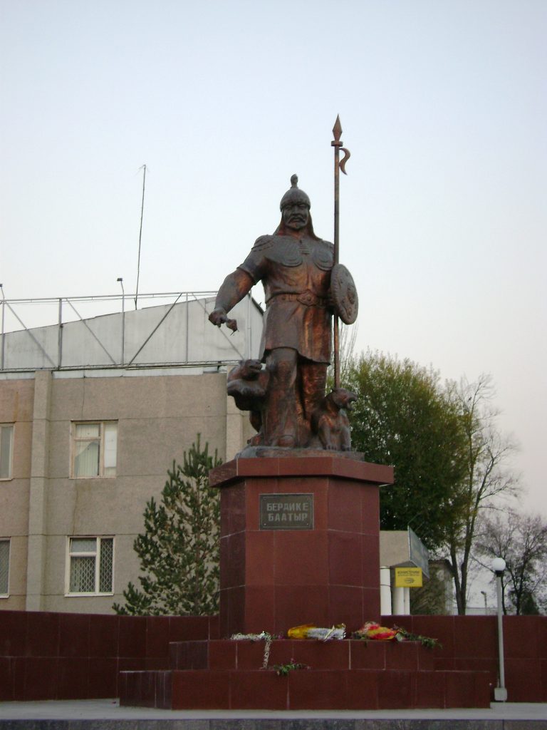
Talas City
Talas is the regional centre of a broad valley in northwestern Kyrgyzstan. It is useful as a place to pause between the mountain approach and the area’s cultural and natural destinations.
Talas Region
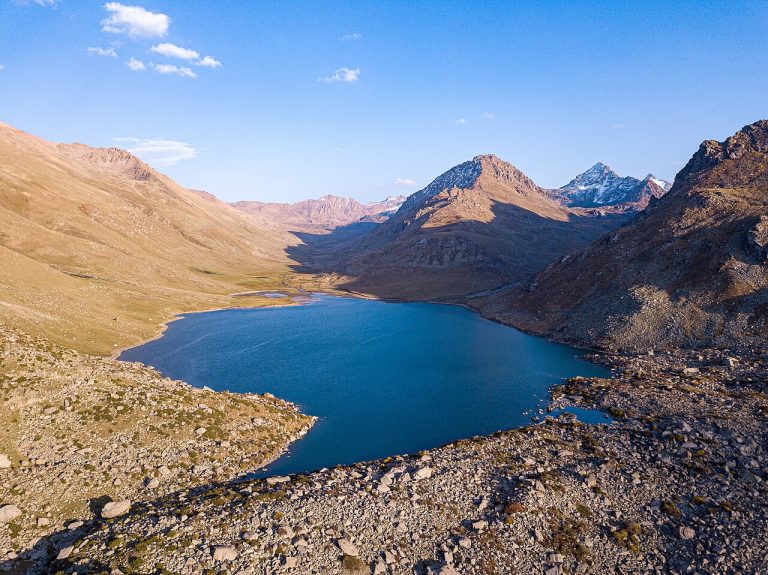
Besh-Tash Nature Park
Besh-Tash is a mountain nature park south of Talas, combining river valleys, wooded slopes and higher pasture landscapes.
Photo gallery
2 photos · select to enlarge
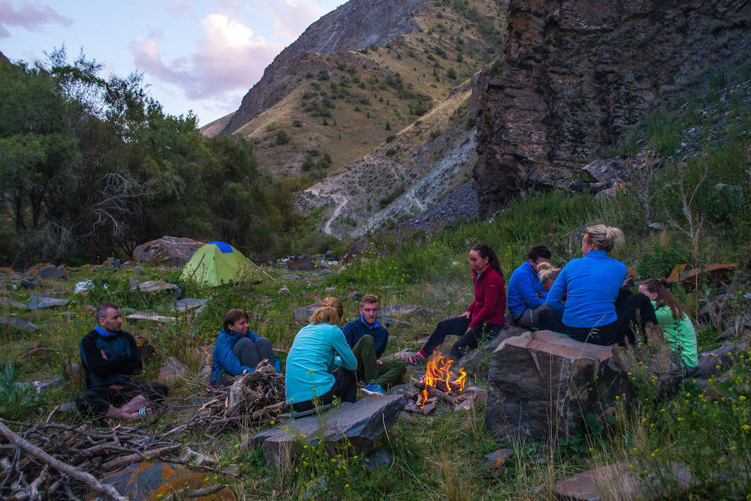
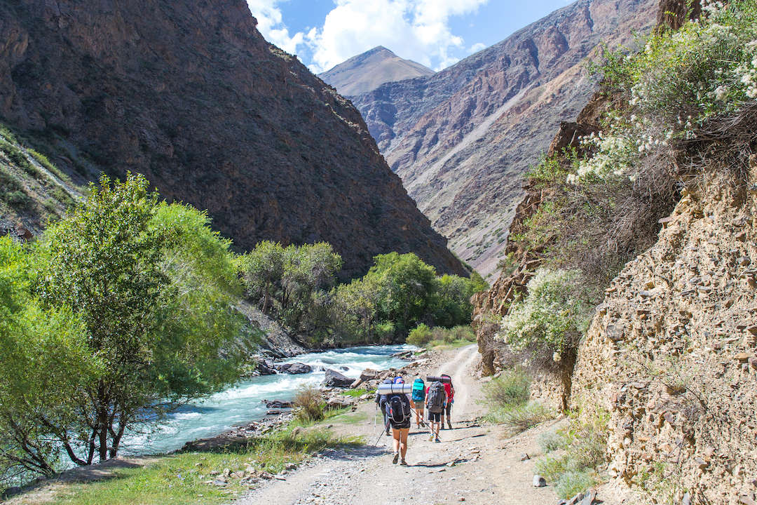
Photo credits & licences
Photo: Pohid V Gory hiking club; individual photographer not named · Copyright retained; source credited; no open licence stated · Source · LicensePhoto: Pohid V Gory hiking club; individual photographer not named · Copyright retained; source credited; no open licence stated · Source · LicenseLocation on the map
Location: Urmaral Valley
42.3808418,71.9789544