Mountain summit
Znachkistov Peak
Elevation above sea level: 3,787 m
Elevation shown in the checked OpenStreetMap summit record; not a new survey. Other checked source values: 3900 m (The climbing classification table publishes this alternative; the discrepancy is unresolved.)
Znachkistov is a separately mapped summit in the Ala-Archa mountain area. OpenStreetMap identifies a named peak, which provides a precise geographical reference for distinguishing it from a general walk in the national park.
Znachkistov is a separately mapped summit in the Ala-Archa mountain area. OpenStreetMap identifies a named peak, which provides a precise geographical reference for distinguishing it from a general walk in the national park. This page does not assign an alpine grade or a universal hiking difficulty from the existence of that map node.
A track supplied for the site reaches the summit area and helps connect the place with a particular published route. That is evidence about the geometry of a historical line, not an inspection of present snow, rock or trail conditions. Review the actual start, climbing sections and descent before deciding whether the outing matches the group’s skills.
The summit should be understood within the larger Ala-Archa landscape, where a lower-valley walk, a hut approach and an ascent can involve quite different commitments. Select your objective before departure and avoid treating neighbouring peak markers as optional additions to a casual excursion.
Use an offline map, a clear return plan and current local information. A precise summit coordinate improves navigation, but it cannot establish a safe line through every slope or guarantee that the recorded descent remains suitable today.
OSM named peak point; route geometry checked separately by the site importer.
Plan your visit
Getting there
Use a route description that explicitly reaches this peak; confirm the actual starting point and descent rather than relying on the summit pin.
When to visit
Assess snow, visibility and route conditions for the chosen ascent; no year-round suitability is implied.
Good to know
Confirm local access, opening arrangements and any entry rules before travel. Respect protected sites and local communities; leave the place as you found it.
Sights in and around Znachkistov Peak
Open each place for its description and visit details. Out-of-town stops require a separate journey.
Chuy Region
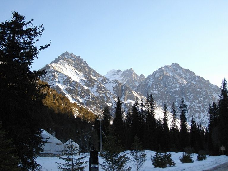
Ala-Archa National Park
Ala-Archa brings the high Tian Shan within reach of a day trip from Bishkek. The river valley leads from juniper-covered slopes towards rocky peaks, glaciers and increasingly demanding mountain paths.
Chuy Region
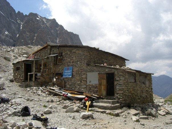
Ratsek Hut
Ratsek Hut is a mountain base in Ala-Archa, used as an orientation point in accounts of climbs around Uchitel and the neighbouring peaks.
Photo gallery
Photographs of this place have not been added yet.
Location on the map
Location: Znachkistov Peak
42.5245101,74.500596