ROUTE OVERVIEW
At a glance
An industrial landscape in the foothills
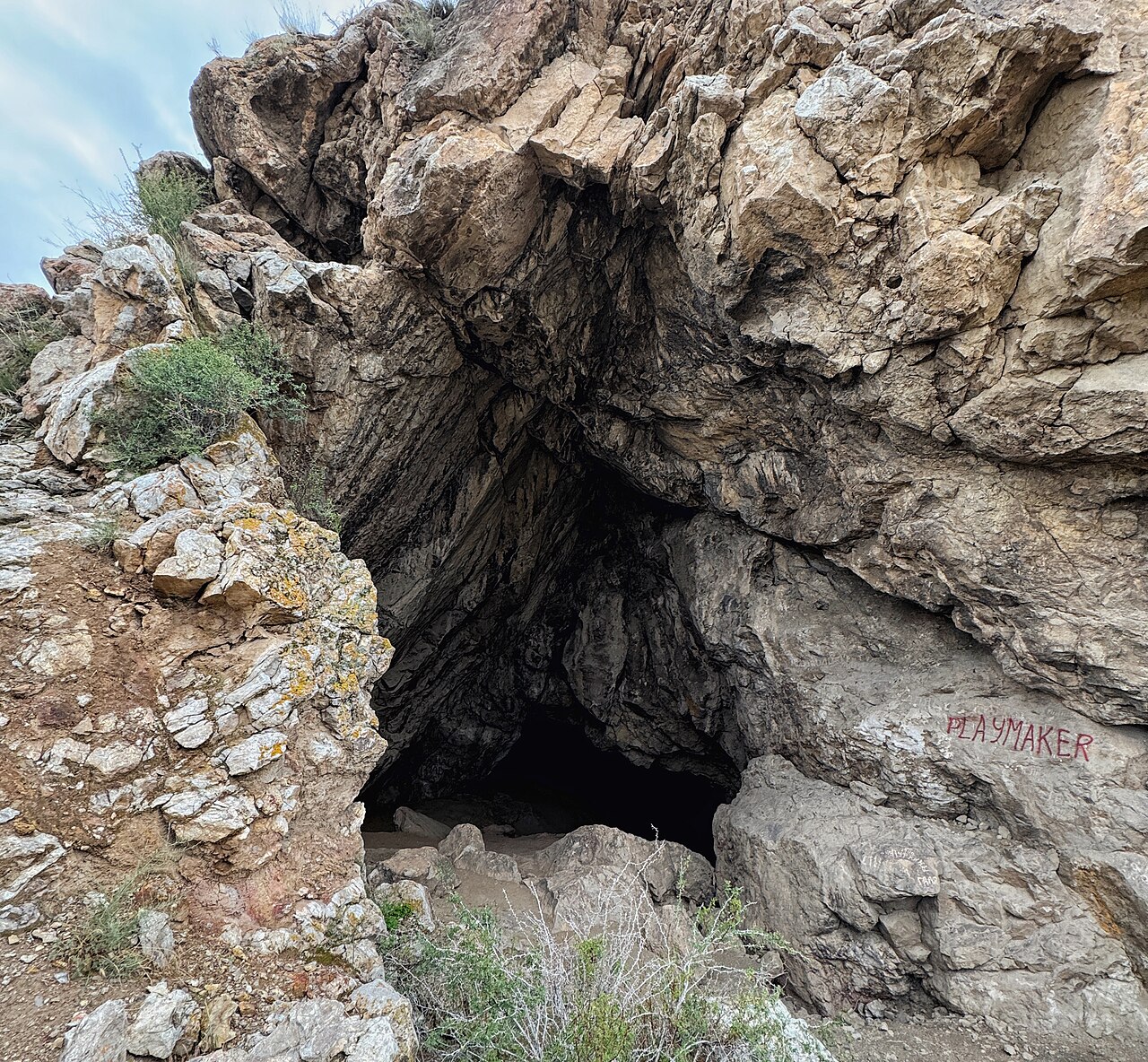
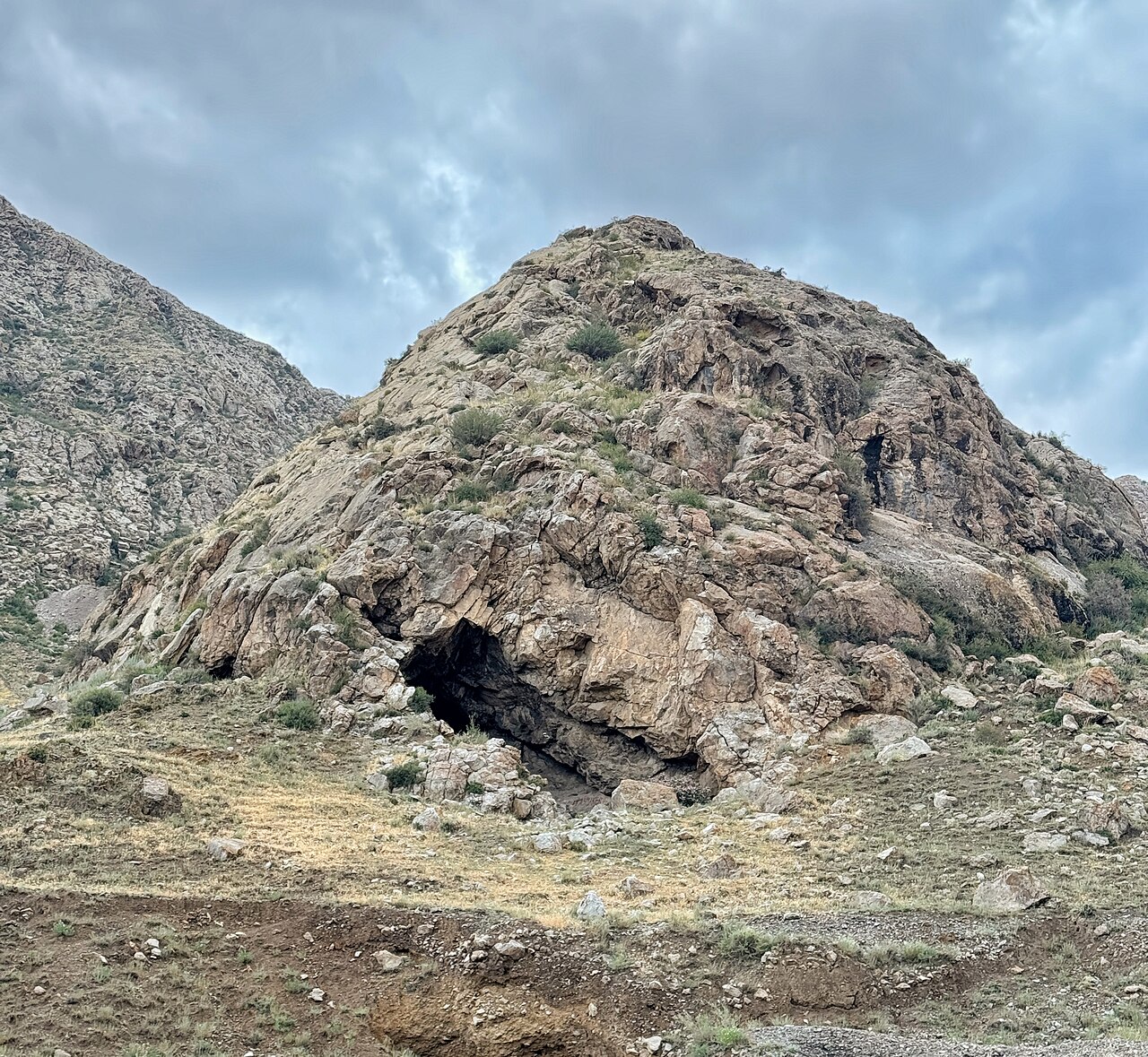
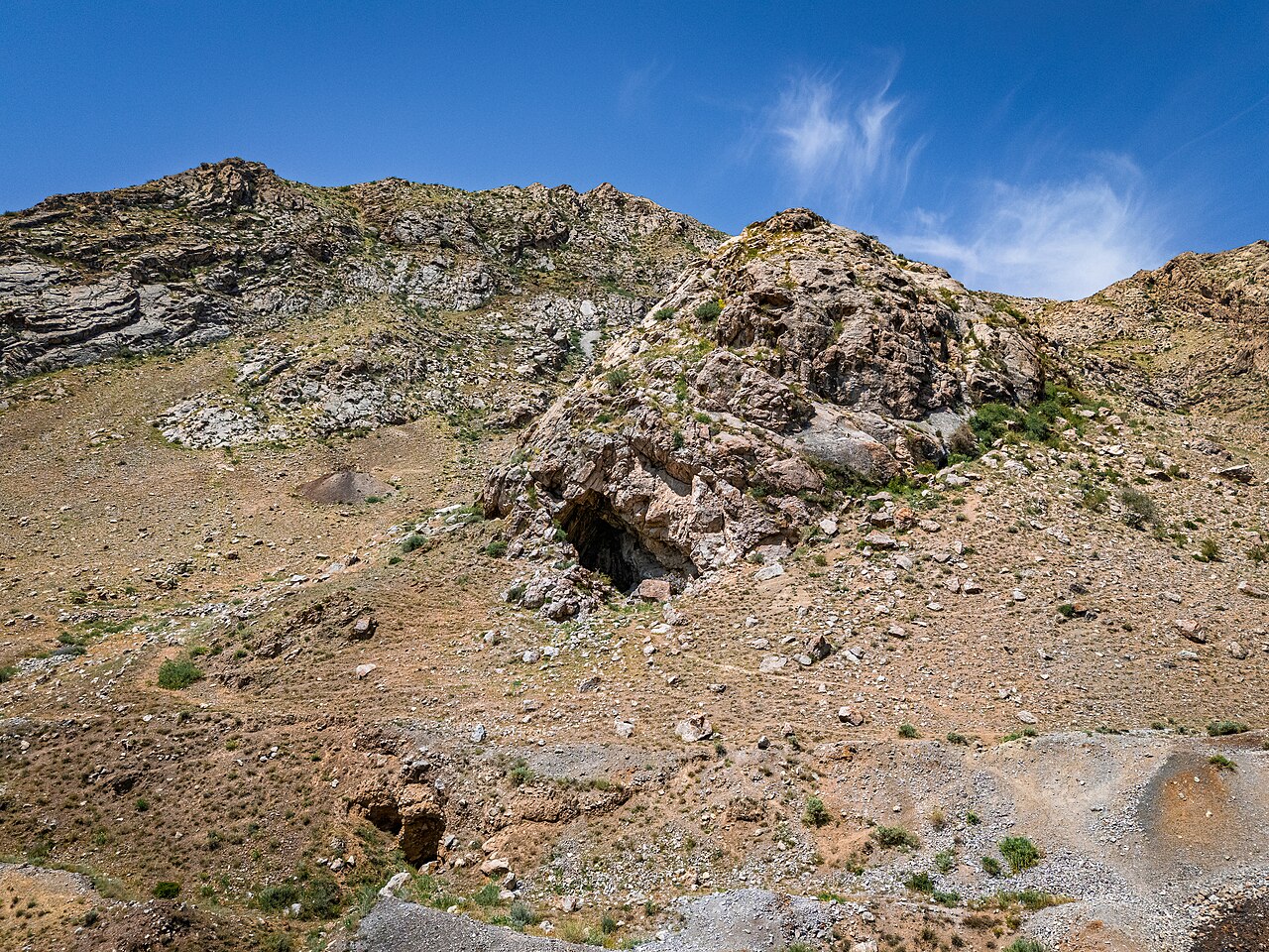
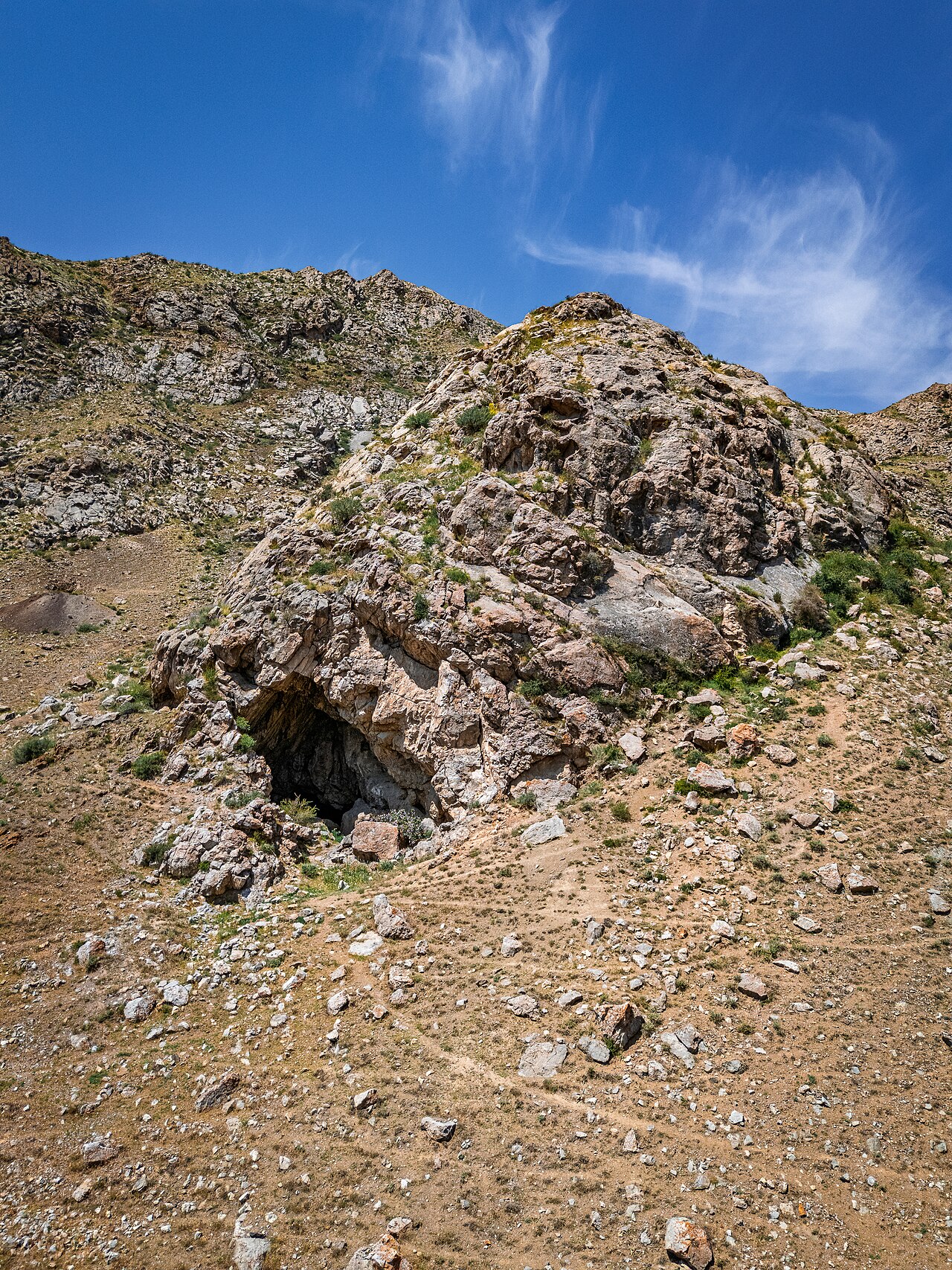
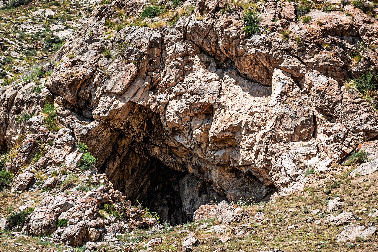
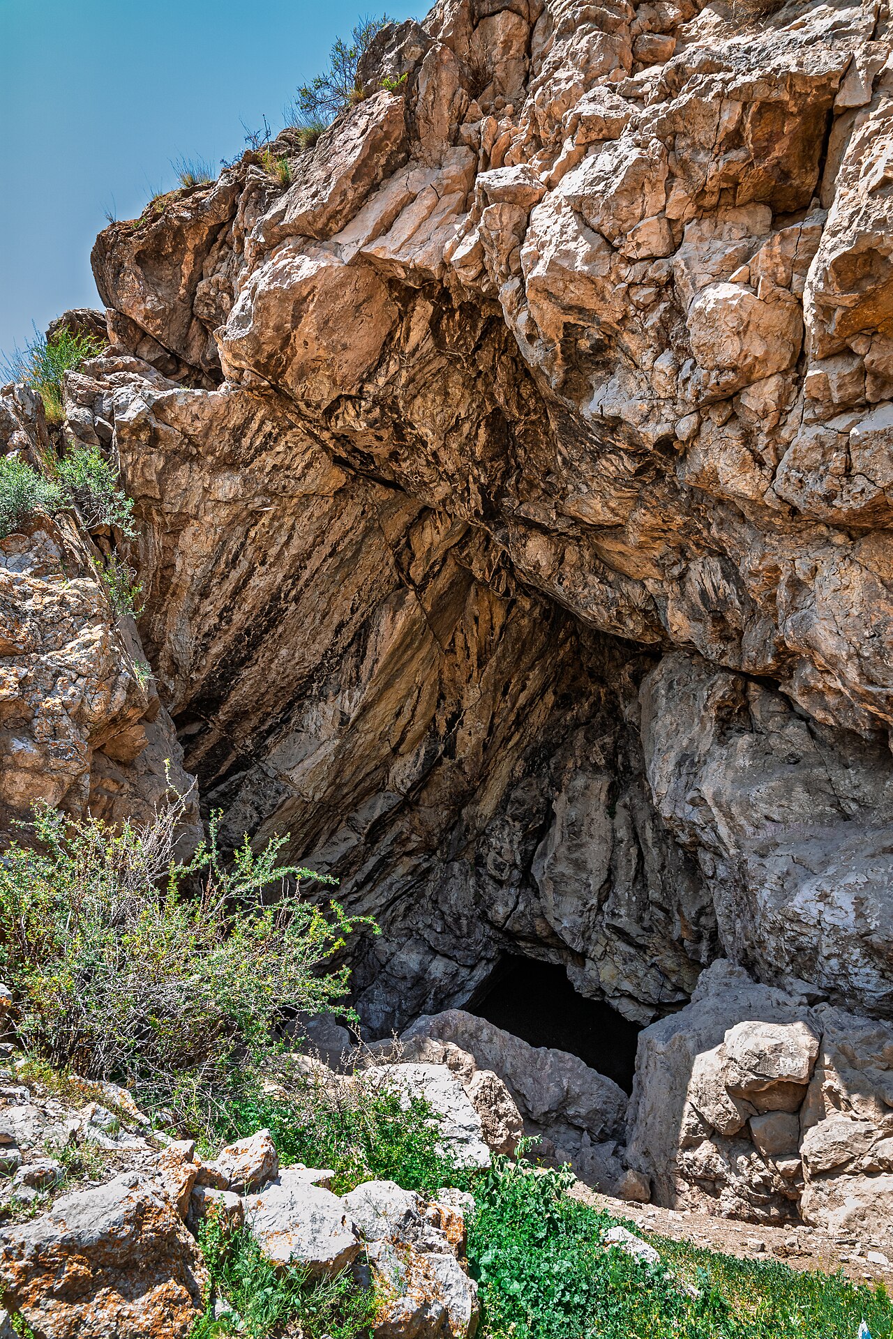
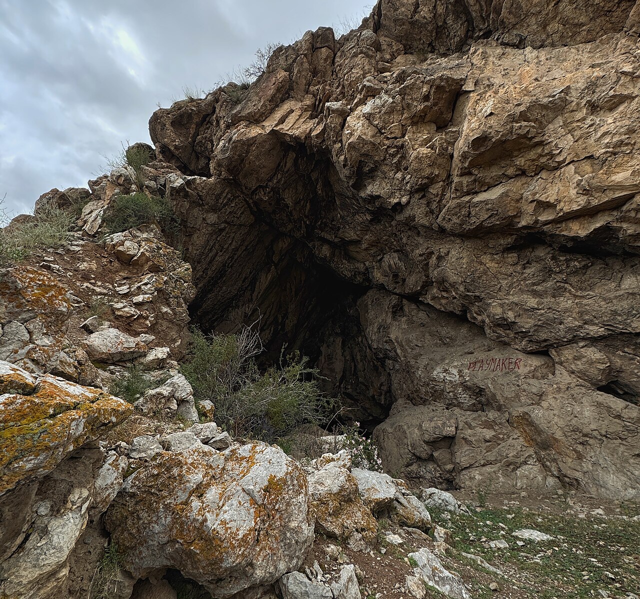
Kan-i-Gut combines a natural cave system with historic mining workings in the Batken foothills. Plan this as a specialist-led visit to the exterior landscape, with an explanation of how geology, ore extraction and human labour shaped the place. Meet the guide before attempting the final approach and ask what can safely be seen outside under current conditions. The mapped point locates the cave-mine complex; it is not a surveyed walking start or a recommended parking position. A worthwhile visit can focus on the mountain setting and the visible opening without entering a passage or approaching an unstable edge.
Read the place without entering the mine
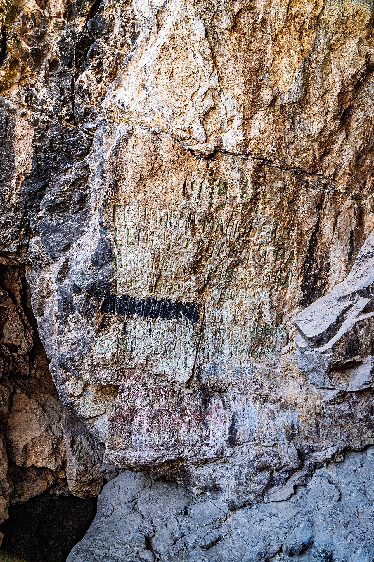
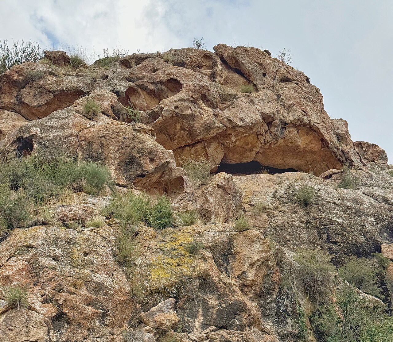
At the agreed observation area, ask the guide to distinguish natural rock forms from traces of working and exploration. Historical stories about treasure and punishment belong to a different category from physical evidence and documented research. Keep those layers separate when discussing the site. This itinerary includes no underground traverse, shaft descent or tunnel route. A torch does not make the mine suitable for an independent visitor. If the guide cannot establish a safe exterior position, remain farther back or cancel the stop. Do not move stones, remove mineral fragments, mark walls or disturb any feature that may belong to the mining history.
Transport, preparation and the return
Reserve a day with a local driver and knowledgeable guide, with the exact departure town, road approach and return agreed for your travel date. Check local access arrangements and any relevant border-area restrictions before travelling; do not assume a suggested road on a map is open to visitors. Carry your own water, food, sun protection and sturdy footwear, and keep emergency communication and a return contact available. Underground visits are a separate specialist activity requiring their own competence, equipment and rescue planning and are not offered here. Avoid the approach in darkness, severe heat or after weather that changes the stability of slopes. The value of this visit is understanding the historic landscape, not testing how far you can go.
Preparation and equipment
Locally selected vehicle for the legal road approach; sturdy footwear, sun protection, food and water. No cave entry.
Track length: Not available. This distance covers the track shown on the map. Add any approach, return or transfer sections that are outside it.
Is this route for you?
Choose the route after checking the actual start, finish and terrain with a local guide. Mapped geometry alone does not establish technical difficulty. Your group should be comfortable navigating offline and changing plans when conditions deteriorate.
- With children
- Not available
- Dogs
- Check local rules
- Bicycles and pushchairs
- Not available
- Phone coverage
- Do not rely on it
What is nearby?
Batken Region
Getting there
Specialist local guide and driver arranged before departure; mapped site point is not a car park.
Without a car
Confirm transport to the actual trailhead, not just the nearest town. Agree the return pickup point and a latest contact time before leaving mobile coverage.
By car & parking
Ask locally about road access, entry rules and a permitted place to park. Use the line only for its stated mode of travel and exact scope.
What you will find along the way
Exterior cave-mine opening and foothill setting; interpretation of natural rock and historic workings.
- Kan-i-Gut Cave and Historic Mine 40.0129, 70.3455
Difficult sections & safety
Unstable rock, drops, mine openings, route finding and access restrictions; underground travel excluded.
How much time to allow
No confirmed visitor timetable or admission system; arrange the visit and return directly.
When to go
Dry, mild daylight conditions; confirm access and avoid severe heat or icy approaches.
What to bring
- Trail shoes or boots with good grip; layers, sun protection and waterproofs.
- Drinking water, food, a first-aid kit and a headlamp.
- An offline map, downloaded GPX, a charged phone and a power bank.
- An agreed return plan, local contact and a realistic fallback route.
GOOD QUESTIONS
Before you set out
Can I download GPX and KML?
No verified track is available for this particular line yet. The page provides a route overview and preparation notes.
Has this route been checked recently?
KyrgyzMap has not field-verified this route. The map source and licence are shown below. Look for approved traveller reports and check conditions with local guides.
Can I go with children?
Suitability for children is not confirmed for this exact route. Check terrain, exposure, river crossings and retreat options with a guide before deciding.
How is the elevation profile calculated?
No elevation readings are available for this route. The profile and total ascent remain unfilled.
Photo gallery
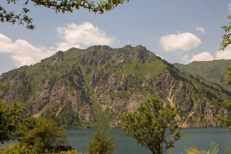
A regional landscape for context; it does not identify every section of the track.
9 photos · select to enlarge
Photographs show named places on this itinerary; they do not document the exact GPX recording.
Photo credits & licences
Photo: Mamatkazy · CC BY-SA 4.0 · Source · LicensePhoto: Mamatkazy · CC BY-SA 4.0 · Source · LicensePhoto: Nefesh03 · CC BY-SA 4.0 · Source · LicensePhoto: Nefesh03 · CC BY-SA 4.0 · Source · LicensePhoto: Nefesh03 · CC BY-SA 4.0 · Source · LicensePhoto: Nefesh03 · CC BY-SA 4.0 · Source · LicensePhoto: Nefesh03 · CC BY-SA 4.0 · Source · LicensePhoto: Mamatkazy · CC BY-SA 4.0 · Source · LicensePhoto: Mamatkazy · CC BY-SA 4.0 · Source · LicenseCurrent trail conditions
There are no published condition reports for this route yet.
Travelled this route or spotted an error?
Discussion
Start a conversation about the route, preparation or your experience. Comments are moderated.


Leave a comment