ROUTE OVERVIEW
At a glance
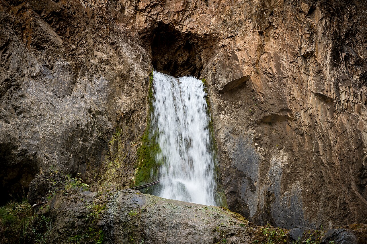
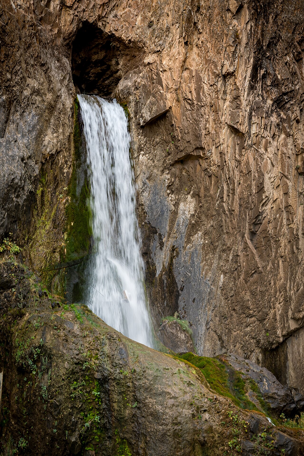
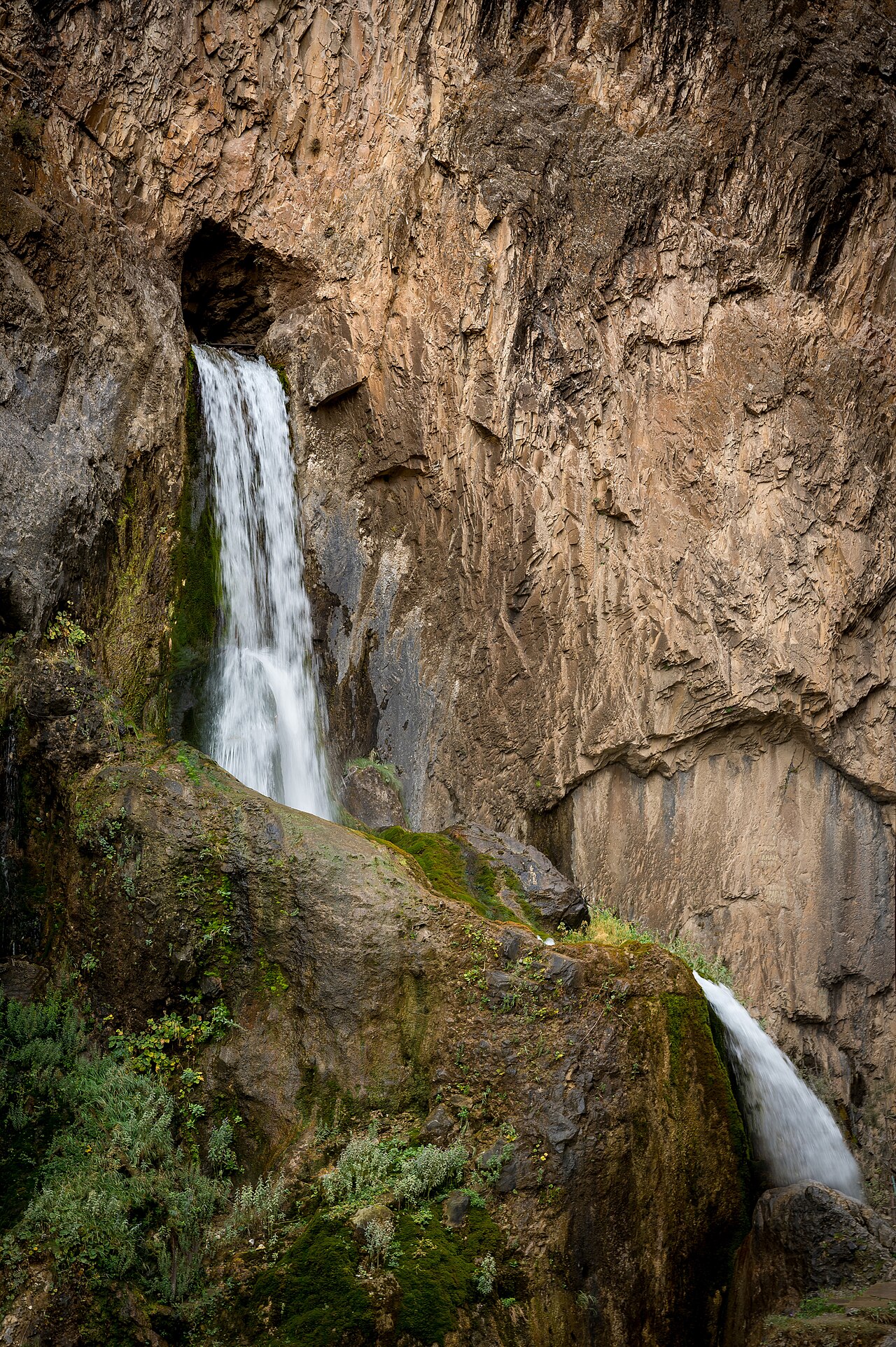
Water emerging from rock
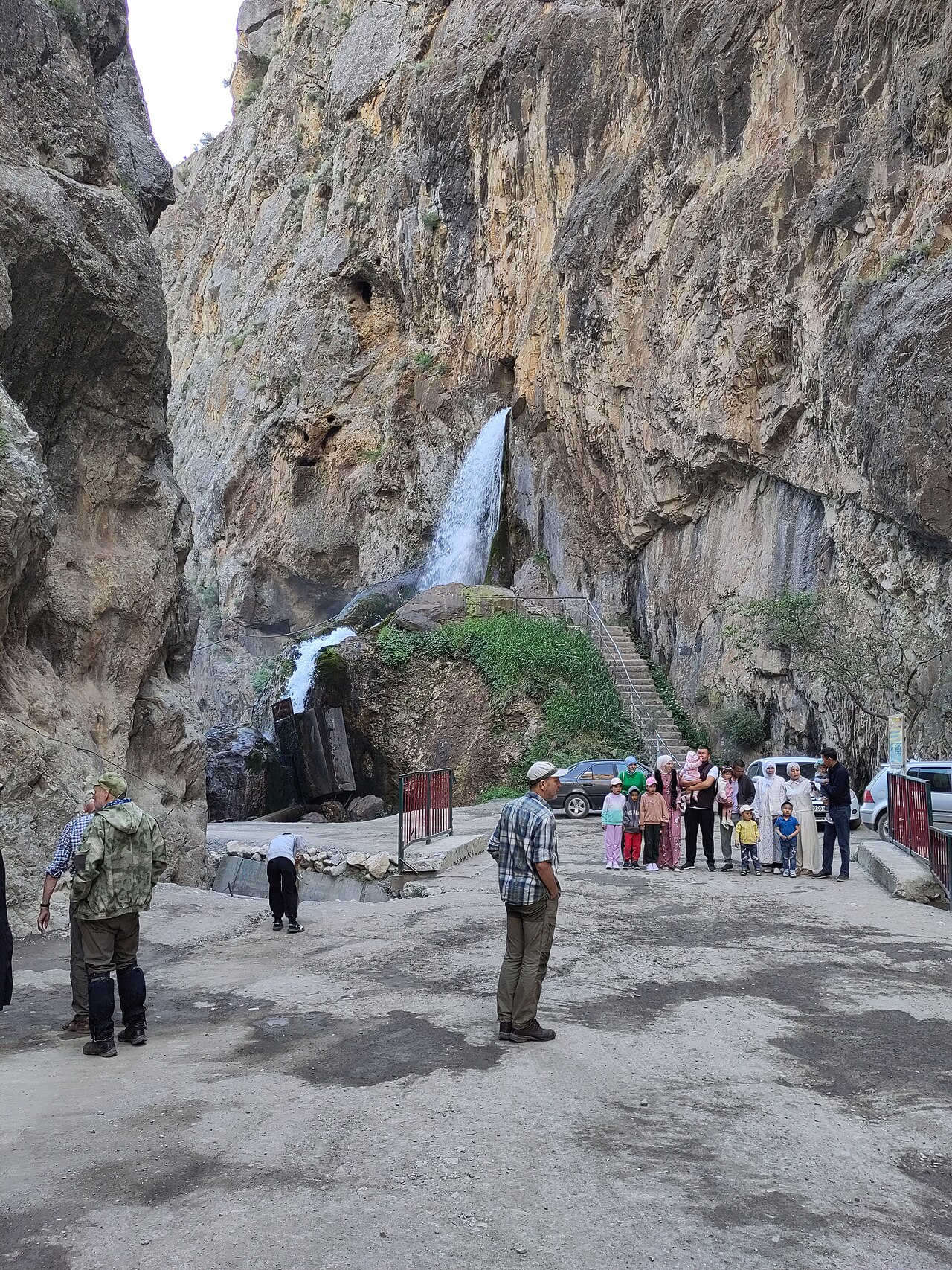
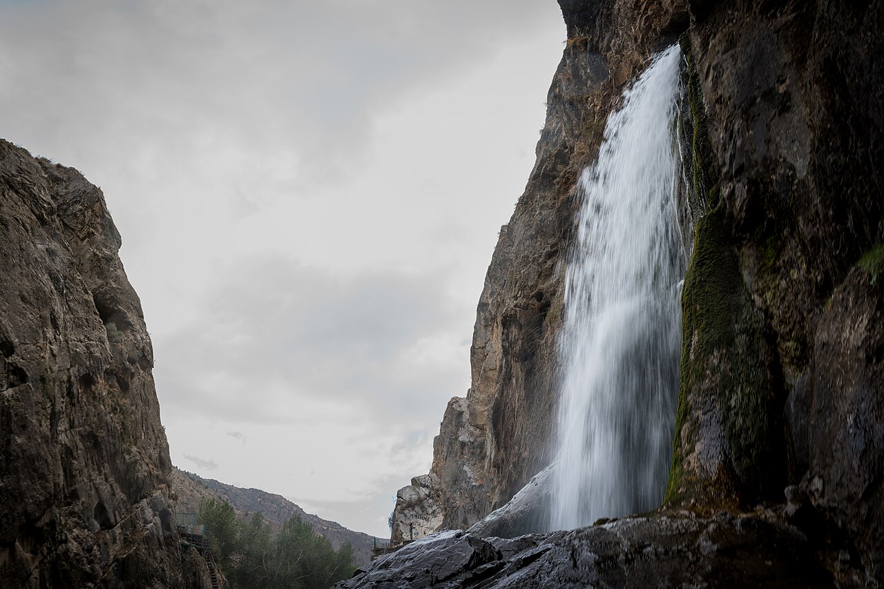
Abshyr-Ata’s attraction is its confined scale: water issues from an opening in the rock rather than arriving as a broad river falling over an open edge. The setting belongs to the Nookat area south-west of Osh. Leave time to observe the gorge and its visitor space rather than treating the waterfall as a quick stop between distant destinations. The volume and appearance of the water vary; a dramatic photograph cannot establish the flow on your date.
Build a complete day from Osh
Begin at your accommodation or an agreed public-road pickup below Sulaiman-Too. The mountain reference identifies Osh’s setting, not a place to drive onto. Confirm the current road approach with a driver who knows the locality, then travel through the existing public road network towards Abshyr-Ata. Use ordinary village stops for a meal or rest instead of pulling over wherever the gorge first comes into view.
The outward stage ends on the lower approach before the confined waterfall section. Agree where the driver can wait and how the group will meet after walking. Download the map in advance and retain the return arrangement. A car leaving without a reliable collection plan can turn a modest walk into a transport problem.
The last visit is on foot
Choose a short walk appropriate to the group and the conditions. Wet surfaces, crowded narrow passages and the river margin require attention. Keep away from the falling water, exposed ledges and the opening itself; a photograph from a sensible visitor position is sufficient. After significant rainfall, ask locally whether the confined section should be entered at all. A mapped road does not override a closure or justify moving barriers.
Comfort and return
Osh accommodation makes a straightforward base, so there is no need to invent a gorge camp for this outing. Arrange any village meal beforehand, carry drinking water and pack footwear with reliable grip. Include layers, a charged phone and a modest reserve of food. Leave enough daylight for the return and for a slower approach if the road is damaged. If the final section cannot be confirmed, shorten the visit or turn around at a suitable public stopping point; do not replace it with an unexplored side valley.
Preparation and equipment
Locally suitable road vehicle with a driver familiar with the current approach; stop before any unsuitable narrow or damaged section.
Track length: 77.3 km. This distance covers the track shown on the map. Add any approach, return or transfer sections that are outside it.
Is this route for you?
Choose the route after checking the actual start, finish and terrain with a local guide. Mapped geometry alone does not establish technical difficulty. Your group should be comfortable navigating offline and changing plans when conditions deteriorate.
- With children
- Not available
- Dogs
- Check local rules
- Bicycles and pushchairs
- Not available
- Phone coverage
- Do not rely on it
What is nearby?
Osh Region
Getting there
Lower public road approach; exact waiting/turnaround and current gorge entry are confirmed locally. Waterfall opening is not a vehicle endpoint. Outward drive ends at mapped lower road node8080171839 before the confined waterfall section. Parking/turnaround and current gorge entry are confirmed locally; no drive to the waterfall opening. The Osh start must be snapped to a legal public road below Sulaiman-Too.
Without a car
Confirm transport to the actual trailhead, not just the nearest town. Agree the return pickup point and a latest contact time before leaving mobile coverage.
By car & parking
Ask locally about road access, entry rules and a permitted place to park. Use the line only for its stated mode of travel and exact scope.
What you will find along the way
Abshyr-Ata lower gorge and the waterfall from an allowed visitor position.
- Osh: agreed public-road start 40.5174, 72.8053
A point of the supplied route geometry. It does not by itself confirm a parking area, settlement or safe access. Read the access and route notes before planning your visit.
- Abshyr-Ata lower road approach 40.1656, 72.3631
A point of the supplied route geometry. It does not by itself confirm a parking area, settlement or safe access. Read the access and route notes before planning your visit.
Difficult sections & safety
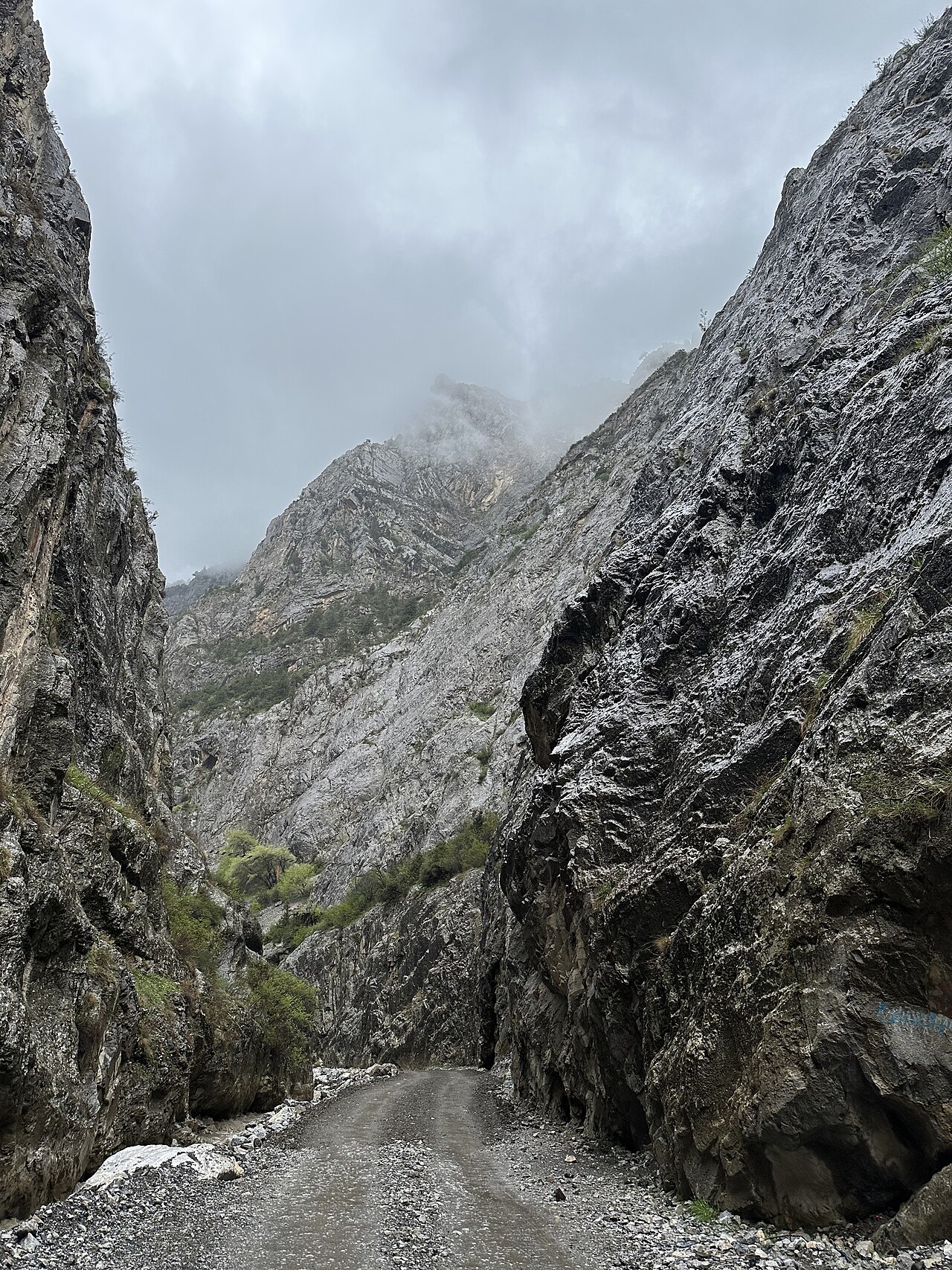
Flash-flood conditions after rain, falling stones, wet ledges, crowded narrow paths and variable approach roads.
How much time to allow
1 full day; return to Osh. Programme allowance, not measured driving time; museum visits, walks, queues, weather and separately described return stages require their own margin.
When to go
Late spring–early autumn subject to rain and local access advice; do not infer safety from a seasonal label.
What to bring
- Trail shoes or boots with good grip; layers, sun protection and waterproofs.
- Drinking water, food, a first-aid kit and a headlamp.
- An offline map, downloaded GPX, a charged phone and a power bank.
- An agreed return plan, local contact and a realistic fallback route.
GOOD QUESTIONS
Before you set out
Can I download GPX and KML?
Yes. The downloads above contain this route geometry for an offline navigation app. They do not confirm current conditions.
Has this route been checked recently?
KyrgyzMap has not field-verified this route. The map source and licence are shown below. Look for approved traveller reports and check conditions with local guides.
Can I go with children?
Suitability for children is not confirmed for this exact route. Check terrain, exposure, river crossings and retreat options with a guide before deciding.
How is the elevation profile calculated?
No elevation readings are available for this route. The profile and total ascent remain unfilled.
Photo gallery
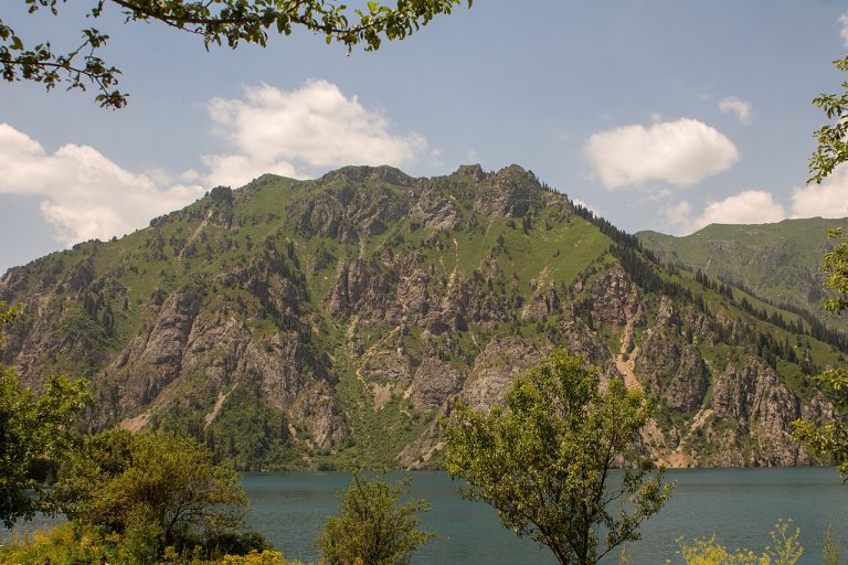
A regional landscape for context; it does not identify every section of the track.
6 photos · select to enlarge
Photographs show named places on this itinerary; they do not document the exact GPX recording.
Photo credits & licences
Photo: Arina Pan · CC BY-SA 4.0 · Source · LicensePhoto: Gkasperek · CC BY-SA 4.0 · Source · LicensePhoto: Arina Pan · CC BY-SA 4.0 · Source · LicensePhoto: Arina Pan · CC BY-SA 4.0 · Source · LicensePhoto: Dzhusky · CC BY-SA 4.0 · Source · LicensePhoto: Arina Pan · CC BY-SA 4.0 · Source · LicenseCurrent trail conditions
There are no published condition reports for this route yet.
Travelled this route or spotted an error?
Discussion
Start a conversation about the route, preparation or your experience. Comments are moderated.


Leave a comment