ROUTE OVERVIEW
At a glance
A different side of Talas
The western Talas valley offers a slower road journey through settled farmland and villages, with the reservoir landscape and Sheker giving the outing two different themes. Chyngyz Aitmatov was born in Sheker; visiting the village connects the writer’s name with a lived-in place rather than a monument seen in isolation. The programme works best when there is room for conversation and a planned museum visit, not a hurried circuit of pins.
From the city to the village
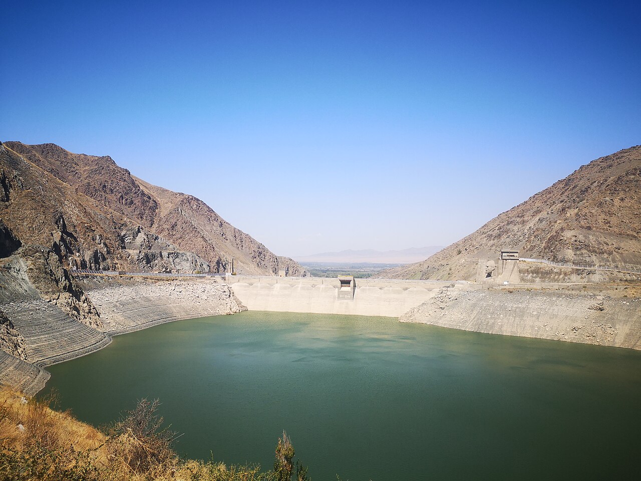
Spend the previous night in Talas and leave after confirming the day’s meeting arrangements in Sheker. Travel west using the established valley roads, with an ordinary food and rest break around Kyzyl-Adyr. The reservoir is a nearby working water landscape, not a public recreation facility by default. Ask a local host to identify an allowed viewpoint with a proper place to leave the vehicle. If none is confirmed, keep to the public town approach and continue the village journey.
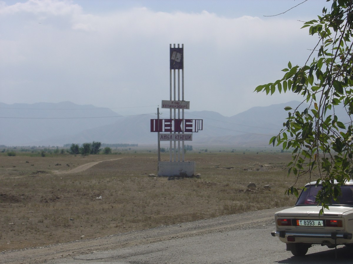
In Sheker, finish at an agreed public arrival point or the entrance supplied by the host. A central village marker does not establish museum access or permission to enter a courtyard. Give an organised visit enough time, then take a modest walk that does not obstruct residents or farm work.
Access and photographs
Stay on public roads and avoid dam compounds, channels and service tracks. Do not drive towards the reservoir’s centre marker or down an unfamiliar shore rut. The water level and light can change the appearance of the basin. Photograph people, homes and working areas with consideration, asking before a close view. A book-related stop is more rewarding after reading a short passage or learning which local places the guide will discuss.
Overnight and preparation
Use Talas for accommodation, or book a village night explicitly with meals and arrival instructions. Two days leaves the return unhurried; a single long day requires a shorter programme. Check tyres, fuel, weather and daylight before setting out. Carry water, layers and cash for agreed local services, and confirm the return pickup if using a hired car. Seasonal road damage or a changed appointment is a reason to adapt the visit, not to rush westward.
Preparation and equipment
Road car suitable for current conditions, with enough range for the planned return; confirm any rough final lane before entering.
Track length: 102.9 km. This distance covers the track shown on the map. Add any approach, return or transfer sections that are outside it.
Is this route for you?
Choose the route after checking the actual start, finish and terrain with a local guide. Mapped geometry alone does not establish technical difficulty. Your group should be comfortable navigating offline and changing plans when conditions deteriorate.
- With children
- Not available
- Dogs
- Check local rules
- Bicycles and pushchairs
- Not available
- Phone coverage
- Do not rely on it
What is nearby?
Talas Region
Getting there
Public valley roads to agreed Sheker arrival; reservoir viewpoint only after independent public-access and parking confirmation. End at a confirmed public village arrival point in Sheker. Kirov is a linked landscape; use Kyzyl-Adyr public roads and add a reservoir viewpoint only when legal parking/access is independently confirmed. No dam road or water-centre routing.
Without a car
Confirm transport to the actual trailhead, not just the nearest town. Agree the return pickup point and a latest contact time before leaving mobile coverage.
By car & parking
Ask locally about road access, entry rules and a permitted place to park. Use the line only for its stated mode of travel and exact scope.
What you will find along the way
Talas valley villages, Kyzyl-Adyr, optional permitted Kirov views and an arranged Sheker/Aitmatov visit.
- Talas City 42.5227, 72.2407
- Kyzyl-Adyr, public town approach 42.6183, 71.5878
A point of the supplied route geometry. It does not by itself confirm a parking area, settlement or safe access. Read the access and route notes before planning your visit.
- Sheker village arrival 42.5504, 71.1566
A point of the supplied route geometry. It does not by itself confirm a parking area, settlement or safe access. Read the access and route notes before planning your visit.
Difficult sections & safety
Changing local roads, farm traffic, heat/wind and restricted water infrastructure; museum appointments and shore access are not guaranteed.
How much time to allow
2 days with Talas or a confirmed village overnight. Programme allowance, not measured driving time; museum visits, walks, queues, weather and separately described return stages require their own margin.
When to go
Late spring–early autumn for a village-and-viewpoint programme; confirm road/weather conditions for the date.
What to bring
- Trail shoes or boots with good grip; layers, sun protection and waterproofs.
- Drinking water, food, a first-aid kit and a headlamp.
- An offline map, downloaded GPX, a charged phone and a power bank.
- An agreed return plan, local contact and a realistic fallback route.
GOOD QUESTIONS
Before you set out
Can I download GPX and KML?
Yes. The downloads above contain this route geometry for an offline navigation app. They do not confirm current conditions.
Has this route been checked recently?
KyrgyzMap has not field-verified this route. The map source and licence are shown below. Look for approved traveller reports and check conditions with local guides.
Can I go with children?
Suitability for children is not confirmed for this exact route. Check terrain, exposure, river crossings and retreat options with a guide before deciding.
How is the elevation profile calculated?
No elevation readings are available for this route. The profile and total ascent remain unfilled.
Photo gallery
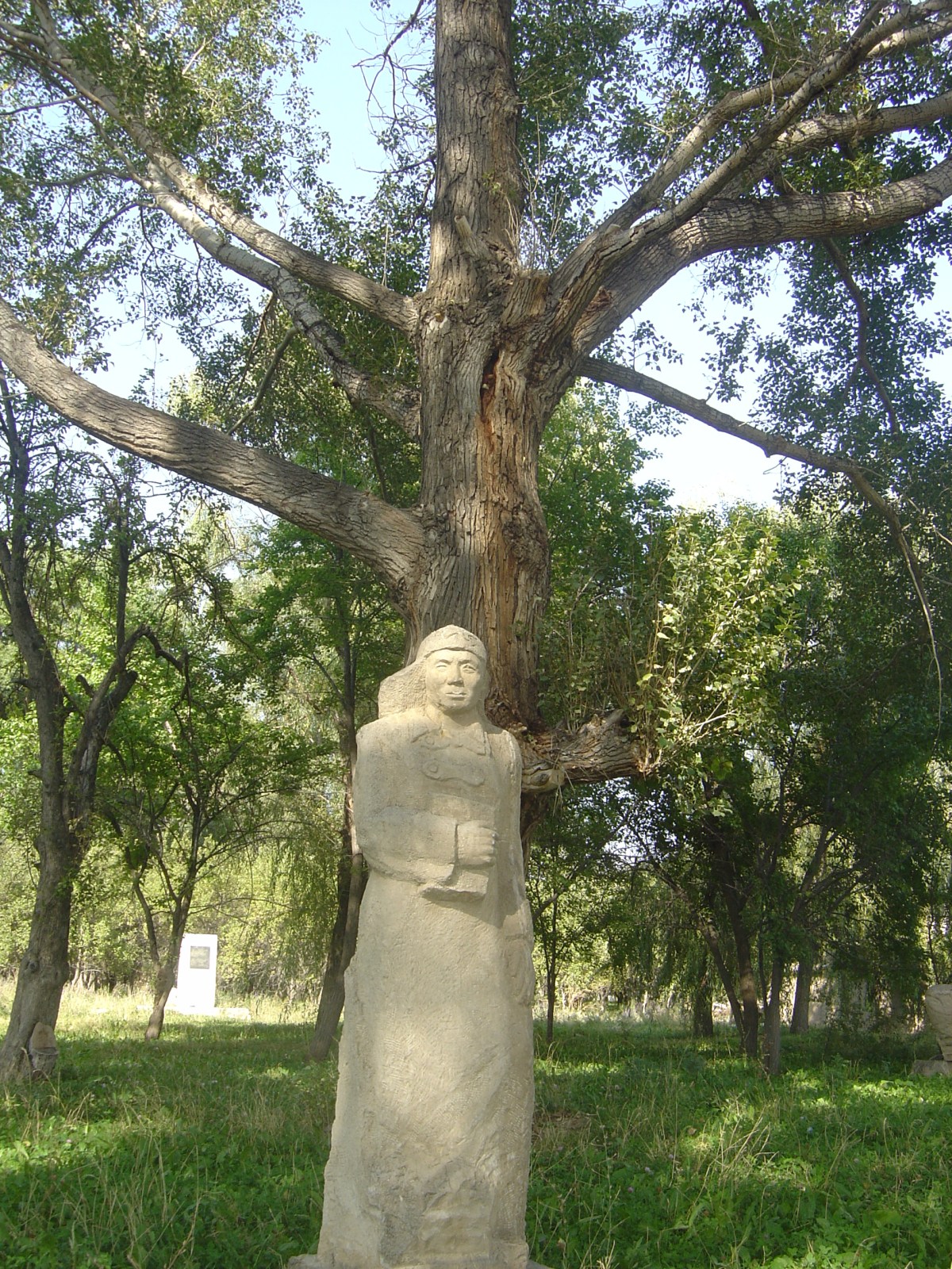
A regional landscape for context; it does not identify every section of the track.
3 photos · select to enlarge
Photographs show named places on this itinerary; they do not document the exact GPX recording.
Photo credits & licences
Photo: Jeffrey Lilley · Copyright retained; source credited; no open licence stated · Source · LicensePhoto: Stephanthuss · CC BY-SA 4.0 · Source · LicensePhoto: Jeffrey Lilley · Copyright retained; source credited; no open licence stated · Source · LicenseCurrent trail conditions
There are no published condition reports for this route yet.
Travelled this route or spotted an error?
Discussion
Start a conversation about the route, preparation or your experience. Comments are moderated.


Leave a comment