ROUTE OVERVIEW
At a glance
A one-way lakeside idea
The south shore has a published mountain-bike outing from Ak-Sai toward the small salt lake known as Tuz-Kol. That original itinerary uses canyon and shore riding with vehicle support. This description offers a separately planned road version between the same general destinations. It does not turn the historic canyon line into an all-weather cycle road or transfer its published distance to a different connection.
Use accommodation in the Bokonbaevo area or another agreed south-shore base, and arrange transport to the exact Ak-Sai start. There are several places called Ak-Sai in Kyrgyzstan; the village anchor here is in Ton District. Check the meeting point with the driver before loading the bicycles.
Plan the surface before the ride
Ask the local visitor team which approach currently makes sense for a bicycle and examine the road line before departure. A route planner can choose a longer ordinary road when a canyon connection is uncertain. Accept that difference rather than forcing a shortcut onto a footpath or through a dry riverbed. If you want the original mountain-bike trail, obtain current local guidance for that exact variant instead.
Carry water and a picnic from your base. The open shore landscape offers little reason to delay drinking until a cafe appears. Secure food and equipment inside bags, and stop at a suitable widening before photographing the lake or adjusting clothing. Shared roads, wind and loose material matter more than the apparent simplicity of two endpoints on a map.
The Tuz-Kol finish
Agree the visitor access arrangements, the bicycle parking place and the pickup with the local organiser. A lake coordinate identifies the attraction, not a vehicle turning area or a recommendation to ride along the water’s edge. Walk the final visitor section if that is the appropriate local arrangement. Keep the bicycle away from soft ground and out of other visitors’ way.
Time at the destination is optional. Do not assume that a visit requires swimming or any particular activity, and keep enough daylight for loading and transport. Confirm which services are operating on the day rather than relying on a seasonal photograph or an old tour programme.
Return without improvisation
A supported one-way day is simpler than discovering at the finish that nobody can carry the bicycles. Confirm the number and size of bikes, how wheels will be secured and where the driver will wait. A self-propelled return requires a separate assessment of distance, wind, food and light. Gravel or mountain bicycles with broad tyres suit uncertain road surfaces; the road plan remains distinct from a surveyed or recently ridden MTB track.
Preparation and equipment
Gravel or mountain bicycle with broad tyres and reliable brakes, carried by a suitably arranged support vehicle.
Track length: 28.5 km. This distance covers the track shown on the map. Add any approach, return or transfer sections that are outside it.
Is this route for you?
Choose the route after checking the actual start, finish and terrain with a local guide. Mapped geometry alone does not establish technical difficulty. Your group should be comfortable navigating offline and changing plans when conditions deteriorate.
- With children
- Not available
- Dogs
- Check local rules
- Bicycles and pushchairs
- Not available
- Phone coverage
- Do not rely on it
What is nearby?
Issyk-Kul
Getting there
Arrange a precise Ak-Sai village drop-off and a bicycle-capable pickup at Tuz-Kol before departure.
Without a car
Confirm transport to the actual trailhead, not just the nearest town. Agree the return pickup point and a latest contact time before leaving mobile coverage.
By car & parking
Ask locally about road access, entry rules and a permitted place to park. Use the line only for its stated mode of travel and exact scope.
What you will find along the way
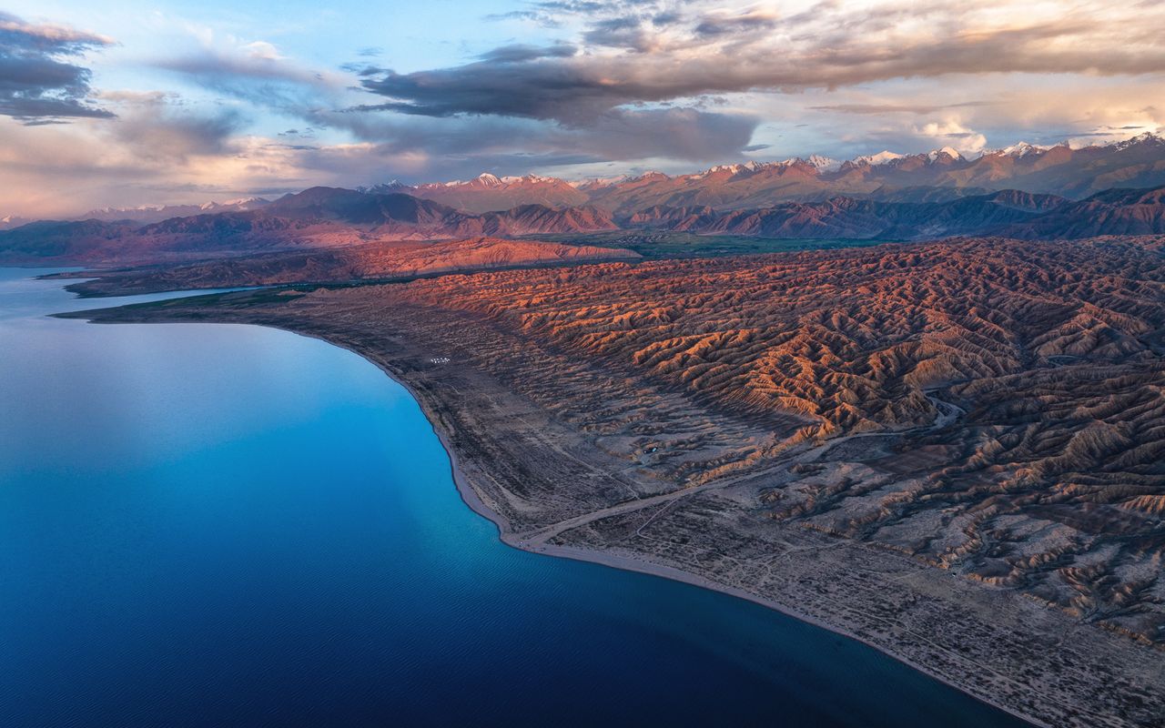
The open south Issyk-Kul shore landscape and the Tuz-Kol area.
- Ak-Sai village, Ton District 42.1356, 76.8363
A point of the supplied route geometry. It does not by itself confirm a parking area, settlement or safe access. Read the access and route notes before planning your visit.
- Tuz-Kol visitor area 42.2515, 76.7470
A point of the supplied route geometry. It does not by itself confirm a parking area, settlement or safe access. Read the access and route notes before planning your visit.
Difficult sections & safety
Heat, wind, loose surfaces, shared traffic and confusion with a canyon footpath. The lake pin is not a confirmed riding roadhead.
How much time to allow
Reserve a day with flexible stops and a confirmed pickup; allow time for walking the final visitor section if needed.
When to go
Warm-season departures in suitable wind and road conditions; confirm the final visitor approach locally.
What to bring
- Trail shoes or boots with good grip; layers, sun protection and waterproofs.
- Drinking water, food, a first-aid kit and a headlamp.
- An offline map, downloaded GPX, a charged phone and a power bank.
- An agreed return plan, local contact and a realistic fallback route.
GOOD QUESTIONS
Before you set out
Can I download GPX and KML?
Yes. The downloads above contain this route geometry for an offline navigation app. They do not confirm current conditions.
Has this route been checked recently?
KyrgyzMap has not field-verified this route. The map source and licence are shown below. Look for approved traveller reports and check conditions with local guides.
Can I go with children?
Suitability for children is not confirmed for this exact route. Check terrain, exposure, river crossings and retreat options with a guide before deciding.
How is the elevation profile calculated?
No elevation readings are available for this route. The profile and total ascent remain unfilled.
Photo gallery
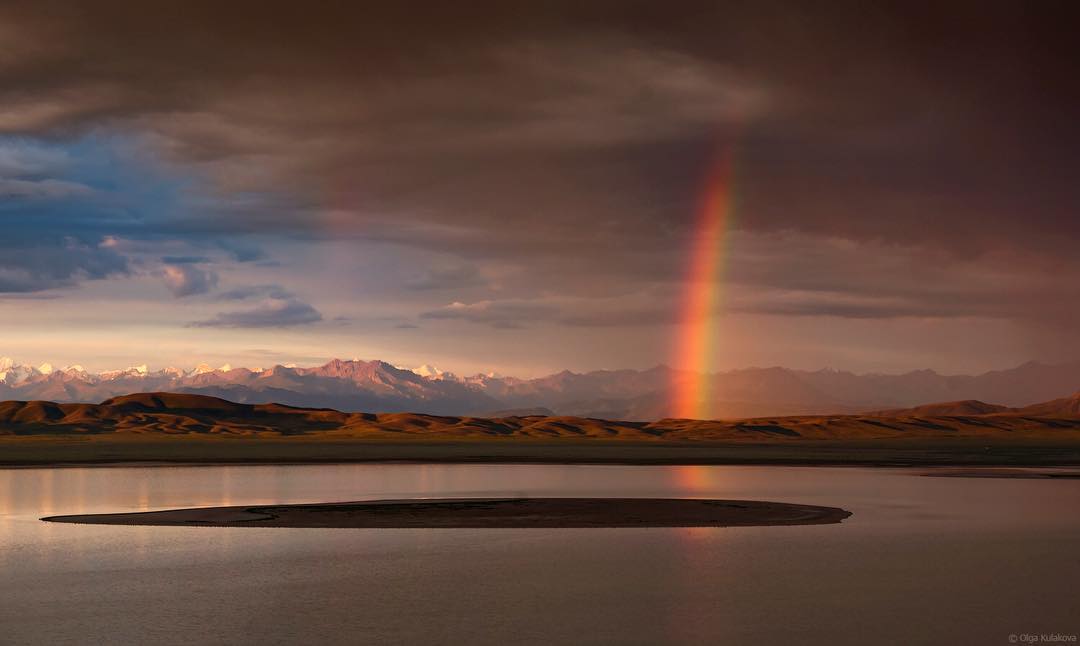
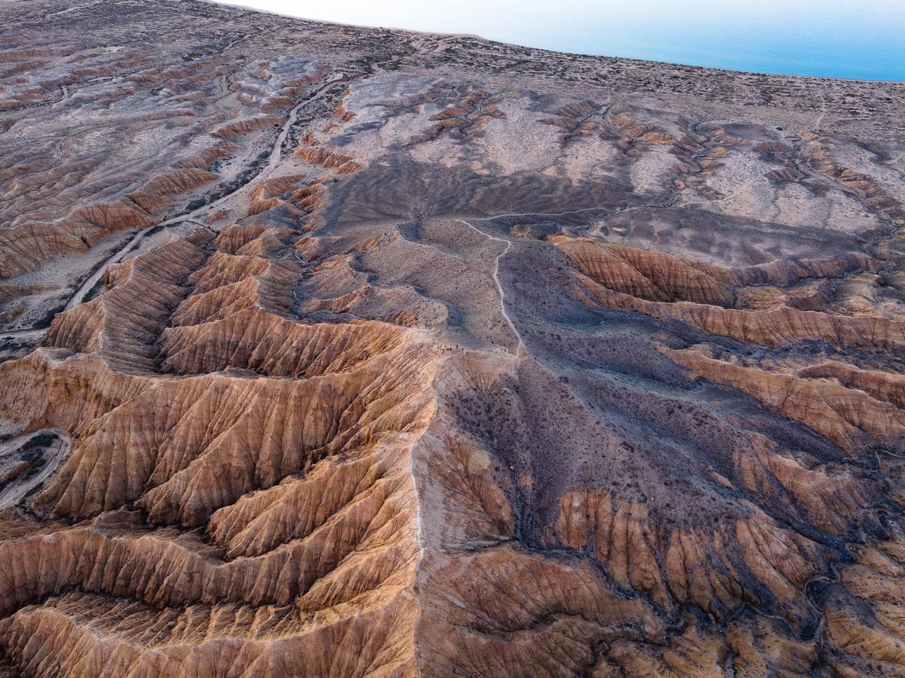
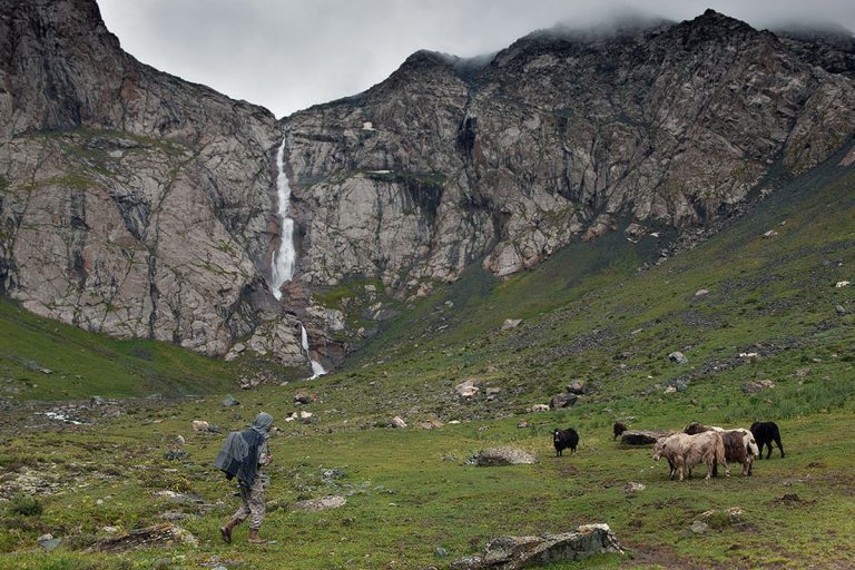
A regional landscape for context; it does not identify every section of the track.
3 photos · select to enlarge
Photographs show named places on this itinerary; they do not document the exact GPX recording.
Photo credits & licences
Photo: olga_kulakova_photography / Nomad's Land · Copyright retained; no open licence stated · Source · LicensePhoto: Sharker, original photographer and post author · Copyright retained; source credited; no open licence stated · SourcePhoto: Sharker, original photographer and post author · Copyright retained; source credited; no open licence stated · SourceCurrent trail conditions
There are no published condition reports for this route yet.
Travelled this route or spotted an error?
Discussion
Start a conversation about the route, preparation or your experience. Comments are moderated.


Leave a comment