ROUTE OVERVIEW
At a glance
Follow the valleys towards Kazarman
This is a valley-road journey to a different side of central Kyrgyzstan. It starts in Kochkor, reaches the Kyzart and Chaek corridor, then follows the lower Kokomeren/Naryn direction towards Kazarman. The interest comes from the transition between settled open valleys and more enclosed river country. It is not the Kokomeren–Song-Kul loop: the lake and its passes are omitted, and Kazarman is the actual destination.
Give the route several stages
Prepare in Kochkor and agree the first overnight before riding. Kyzart provides a clear named stage, while Chaek is an appropriate place to pause, check the group and settle the next day’s arrival details. Do not convert a village marker into a promise of fuel or a workshop; ask about the actual services and times relevant to your dates.
For the next stage use the confirmed public corridor towards the southern Aral waypoint and Kazarman. There are several settlements called Aral, so verify the lower river-corridor point before loading the navigation. Stop only where all bikes can leave the carriageway without blocking farm traffic. Finish at the guesthouse address supplied by the Kazarman host, not a general town polygon or a track leading towards archaeological uplands.
Prepare for mixed surfaces
The current surface is more useful than a historic label saying asphalt or gravel. Ask for a recent local report, inspect tyres and luggage, and ride within the least experienced participant’s comfort. Dust can reduce visibility between riders; leave room and regroup in a suitable place rather than bunching at a blind bend. Carry water, layers, a compatible puncture kit and tools you can actually use. Calculate fuel for the loaded bike with reserve for a changed stop or retracing a section.
Finish in Kazarman, then reassess
Book meals, bedding and motorcycle parking explicitly. A comfortable village night is also time to review the next road report. Kaldama, MELS, Saimaluu-Tash access and any onward tunnel connection require separate planning; arriving in Kazarman does not establish their access. Verify driving documents, insurance and rental permissions before the trip. Keep the return or continuation flexible, and do not add a high pass merely to avoid travelling back along a familiar road.
Preparation and equipment
Manageable adventure/dual-sport motorcycle, suitable tyres and loaded mixed-surface experience; arrange recovery and sufficient fuel margin.
Track length: 247.0 km. This distance covers the track shown on the map. Add any approach, return or transfer sections that are outside it.
Is this route for you?
Choose the route after checking the actual start, finish and terrain with a local guide. Mapped geometry alone does not establish technical difficulty. Your group should be comfortable navigating offline and changing plans when conditions deteriorate.
- With children
- Not available
- Dogs
- Check local rules
- Bicycles and pushchairs
- Not available
- Phone coverage
- Do not rely on it
What is nearby?
Naryn and Jalal-Abad Regions
Getting there
Confirmed public valley roads via Kyzart, Chaek and southern Aral to a Kazarman host. No lake/high-pass/archaeological-upland extension. Public valley corridor via Kyzart, Chaek and the southern Aral point to confirmed Kazarman lodging. Not the different Aral at42.05294,74.75805. No lake pass, Kaldama, MELS or promise of open onward tunnels.
Without a car
Confirm transport to the actual trailhead, not just the nearest town. Agree the return pickup point and a latest contact time before leaving mobile coverage.
By car & parking
Ask locally about road access, entry rules and a permitted place to park. Use the line only for its stated mode of travel and exact scope.
What you will find along the way
Kochkor/Kyzart/Chaek villages, lower Kokomeren and Naryn road landscapes, Kazarman.
- Kochkor 42.2132, 75.7543
- Kyzart village 41.9777, 74.9491
A point of the supplied route geometry. It does not by itself confirm a parking area, settlement or safe access. Read the access and route notes before planning your visit.
- Chaek 41.9266, 74.5167
- Aral, lower Kokomeren corridor 41.8481, 74.3407
A point of the supplied route geometry. It does not by itself confirm a parking area, settlement or safe access. Read the access and route notes before planning your visit.
- Kazarman town 41.4034, 74.0205
A point of the supplied route geometry. It does not by itself confirm a parking area, settlement or safe access. Read the access and route notes before planning your visit.
Difficult sections & safety
Changing surface, dust, stones, livestock, river-road damage, limited assistance and navigation ambiguity at Aral.
How much time to allow
2–3 days one way; onward/return arranged separately. Programme allowance, not measured driving time; museum visits, walks, queues, weather and separately described return stages require their own margin.
When to go
June–September for planning, with current road, river and weather reports before each stage.
What to bring
- Trail shoes or boots with good grip; layers, sun protection and waterproofs.
- Drinking water, food, a first-aid kit and a headlamp.
- An offline map, downloaded GPX, a charged phone and a power bank.
- An agreed return plan, local contact and a realistic fallback route.
GOOD QUESTIONS
Before you set out
Can I download GPX and KML?
Yes. The downloads above contain this route geometry for an offline navigation app. They do not confirm current conditions.
Has this route been checked recently?
KyrgyzMap has not field-verified this route. The map source and licence are shown below. Look for approved traveller reports and check conditions with local guides.
Can I go with children?
Suitability for children is not confirmed for this exact route. Check terrain, exposure, river crossings and retreat options with a guide before deciding.
How is the elevation profile calculated?
No elevation readings are available for this route. The profile and total ascent remain unfilled.
Photo gallery
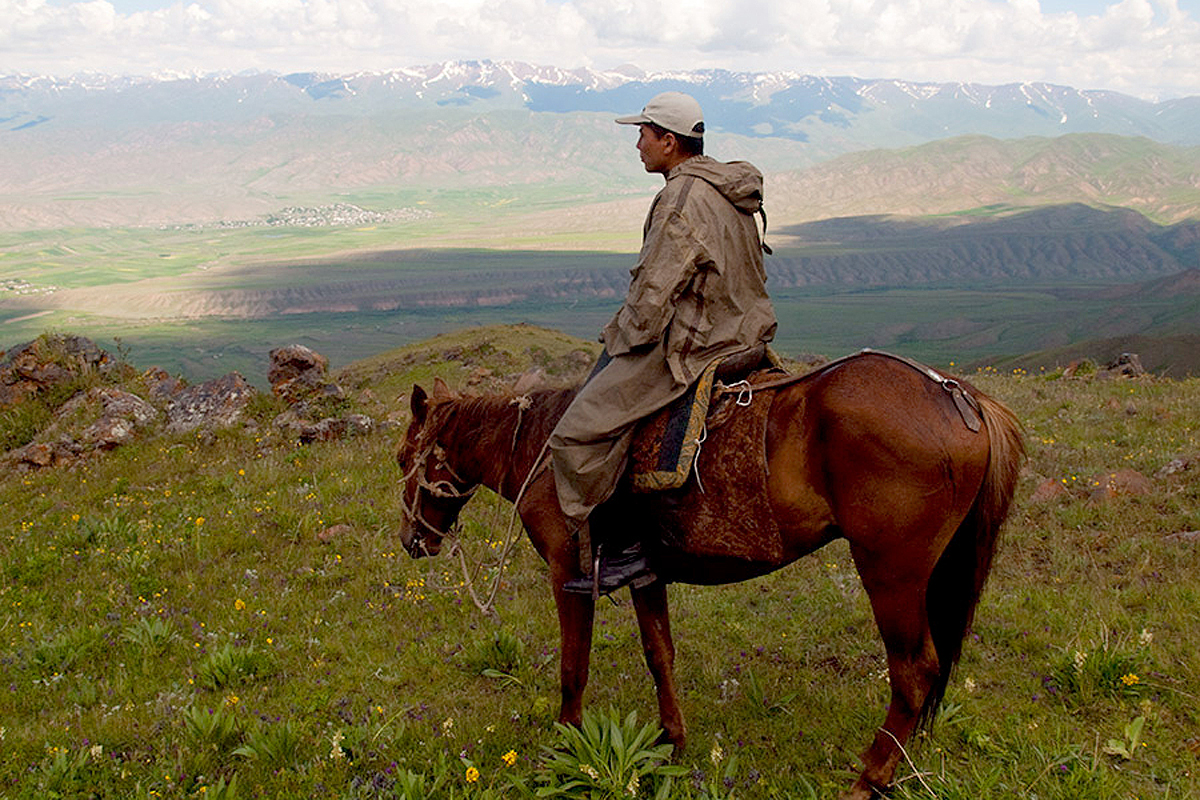
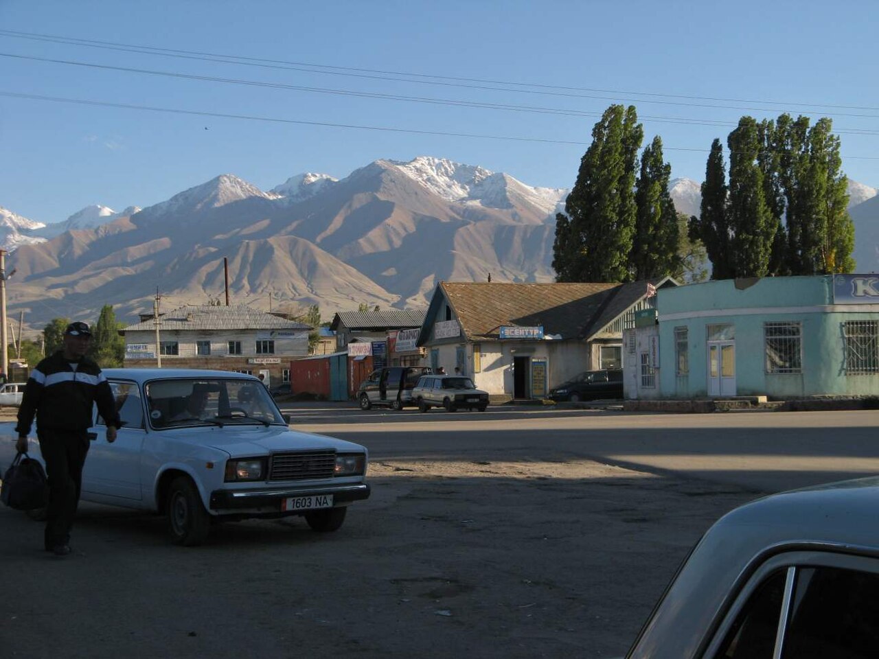
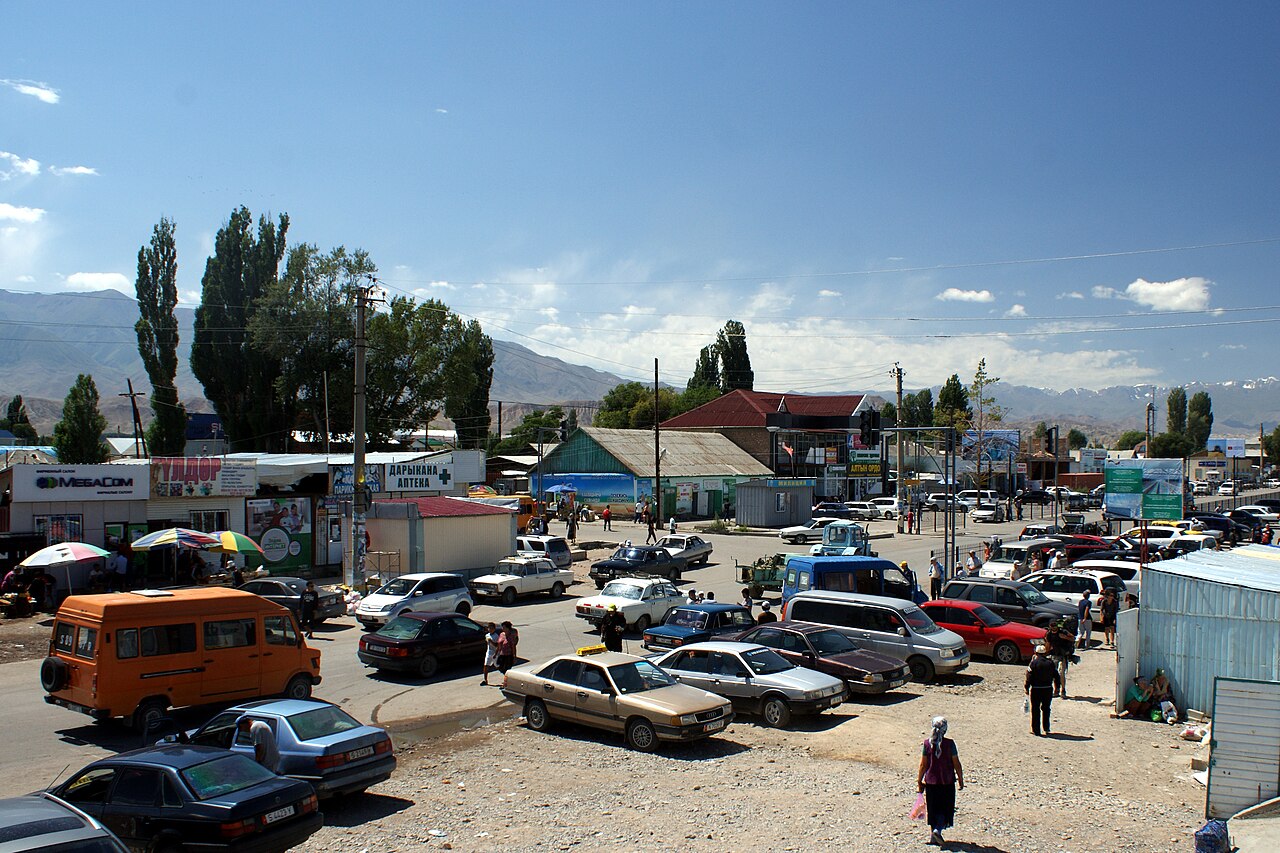
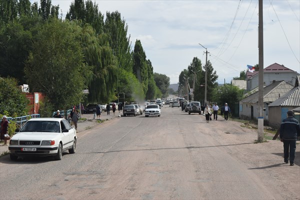
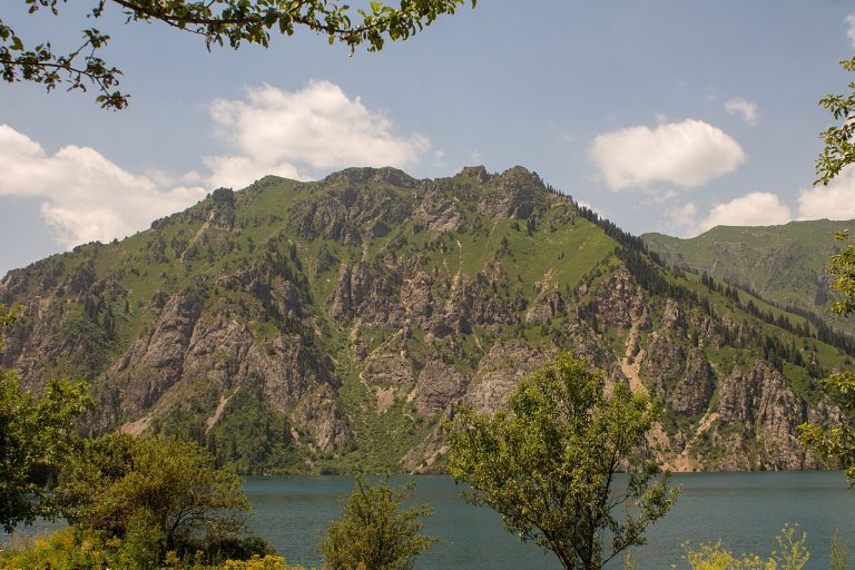
A regional landscape for context; it does not identify every section of the track.
4 photos · select to enlarge
Photographs show named places on this itinerary; they do not document the exact GPX recording.
Photo credits & licences
Photo: Evgeni Zotov / Trip to Kyrgyzstan · Copyright retained; source credited; no open licence stated · SourcePhoto: Betta27 · CC BY-SA 2.5 · Source · LicensePhoto: Kondephy · CC BY-SA 4.0 · Source · LicensePhoto: Roman Vaigult / Роман Вайгульт expedition report; individual photographer not identified for this frame · Copyright retained; source credited; no open licence stated · Source · LicenseCurrent trail conditions
There are no published condition reports for this route yet.
Travelled this route or spotted an error?
Discussion
Start a conversation about the route, preparation or your experience. Comments are moderated.


Leave a comment