TRAVEL ARTICLES
Mountaineering in Kyrgyzstan: regions, route grades and expedition preparation
Compare Ala-Archa, the Karakol mountains, Karavshin and the high Tian Shan and Pamir objectives. Learn what a reported grade and a GPX line can tell you before choosing an ascent.
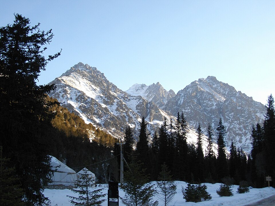
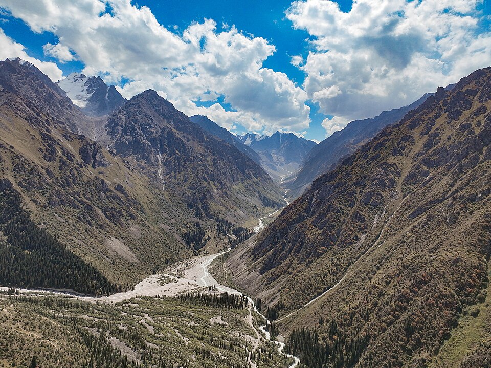
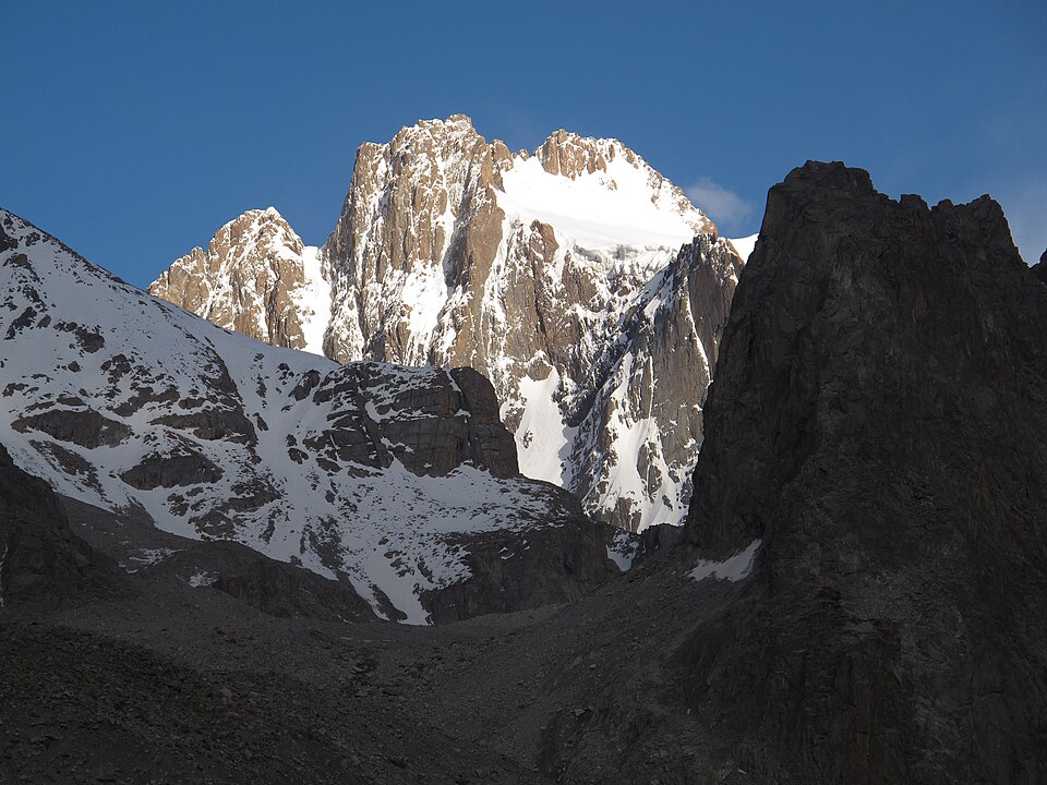 Photo: Tadeáš Gregor · CC BY-SA 3.0 · Source · License
Ala-Archa: a mountain training base
Ala-Archa near Bishkek is an established mountaineering area in the Kyrgyz Range. The Ak-Sai and Ratsek surroundings appear in training programmes of the Kyrgyz Alpine Club. That makes the area a useful place to discuss instruction and progression, rather than assume every accessible peak is suitable for a first independent ascent. Approach walks, glacier terrain and technical routes belong to different stages of preparation. Confirm the actual course, instructor and operating arrangements directly.
Karakol and the eastern valleys
South of Karakol, the Terskey mountains combine trekking valleys with higher alpine objectives. A familiar place name does not identify one route: Karakol’s surrounding ridges, glaciers and summits need separate descriptions. A journey towards Ala-Kul is not a substitute for researching a climb on a neighbouring mountain. Choose a valley base and an objective together, taking account of the approach and where the group will stay before and after the ascent.
The high Tian Shan and Pamir approaches
The central Tian Shan’s Inylchek area is associated with Khan Tengri and Pobeda, while Lenin Peak belongs to the Pamir mountain setting in southern Kyrgyzstan. These high objectives require expedition planning beyond choosing a summit photograph. Ask about access, camp support, communications, permits and contingency arrangements for your exact route. A lower excursion towards a base camp and an attempt on the mountain are very different commitments.
Rock climbing in Karavshin
Karavshin in Batken Region is known for a rock-climbing emphasis, including technical climbing events. Its remote valley setting demands careful approach and camp arrangements. Do not transfer experience on a short equipped crag directly to a long mountain wall. Research protection, descent and the availability of suitable partners or local expertise for the specific line.
Understand route grading systems
A reported alpine category such as 2A or 3B is not the same measurement as a French sport-climbing grade or a UIAA rock grade. Different systems describe different aspects of difficulty. Even within one system, a grade belongs to a particular line and stated conditions, not to every way of reaching the peak. Record the source and any uncertainty. Personal sporting qualifications and a route’s category also answer different questions; neither removes the need to assess the whole undertaking.
Separate the approach, ascent and descent
The mapped upper Uchitel ascent begins in the Ratsek area, not at the park entrance. This is why a short track length cannot describe the effort of the complete outing. Inspect the start, finish and separate segments, then read the descent account and retreat options. A GPX provides geographic evidence; it does not establish rope systems, anchor quality or today’s glacier conditions.
Prepare for your chosen ascent
Discuss acclimatisation time, technical training and equipment with a qualified professional familiar with your intended mountain. This guide offers no medical schedule or universal packing list. Check that partners understand communication, roles, turnaround decisions and the response to a delayed return. Leave room for weather changes and a lower alternative. Use the mountaineering catalogue to compare documented lines, then confirm current conditions and expedition arrangements before committing.
Photo gallery
10 photos · select to enlarge
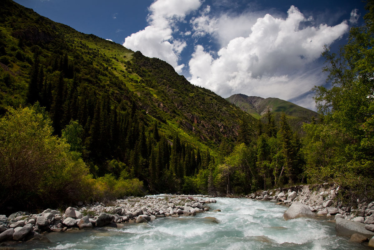
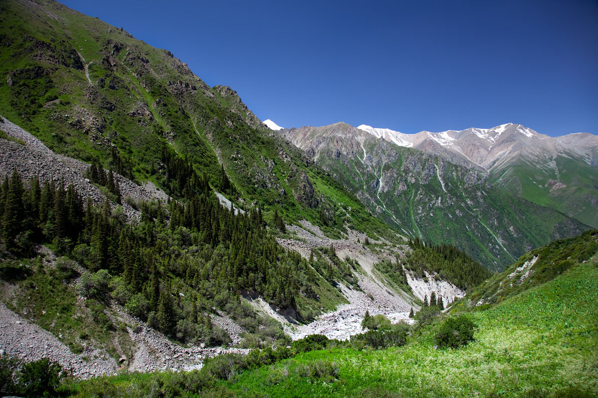
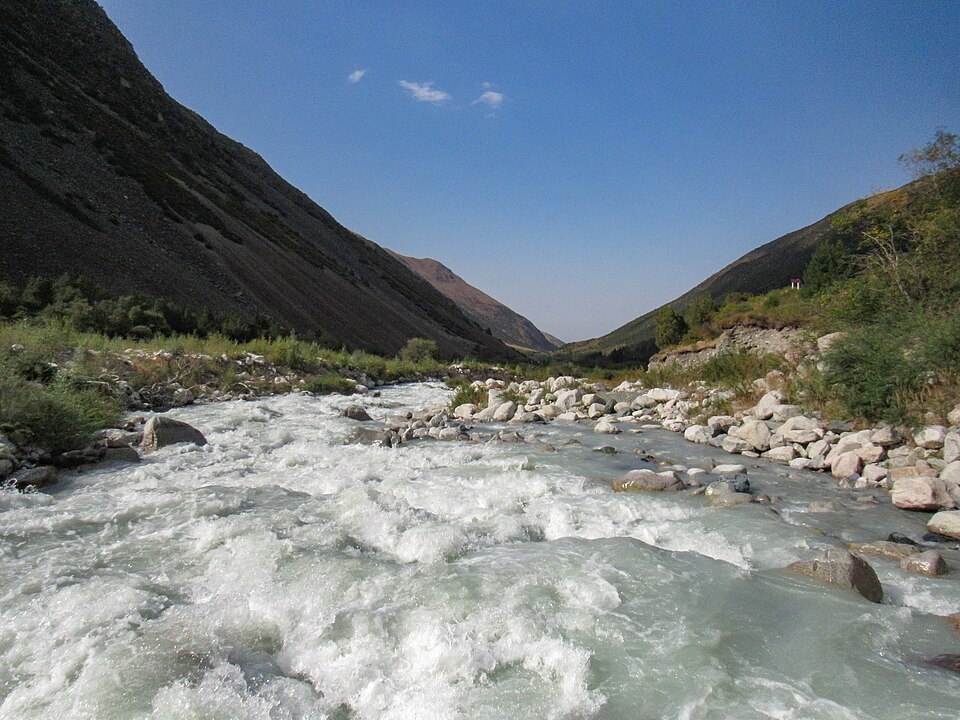
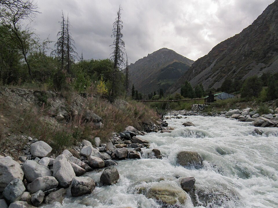
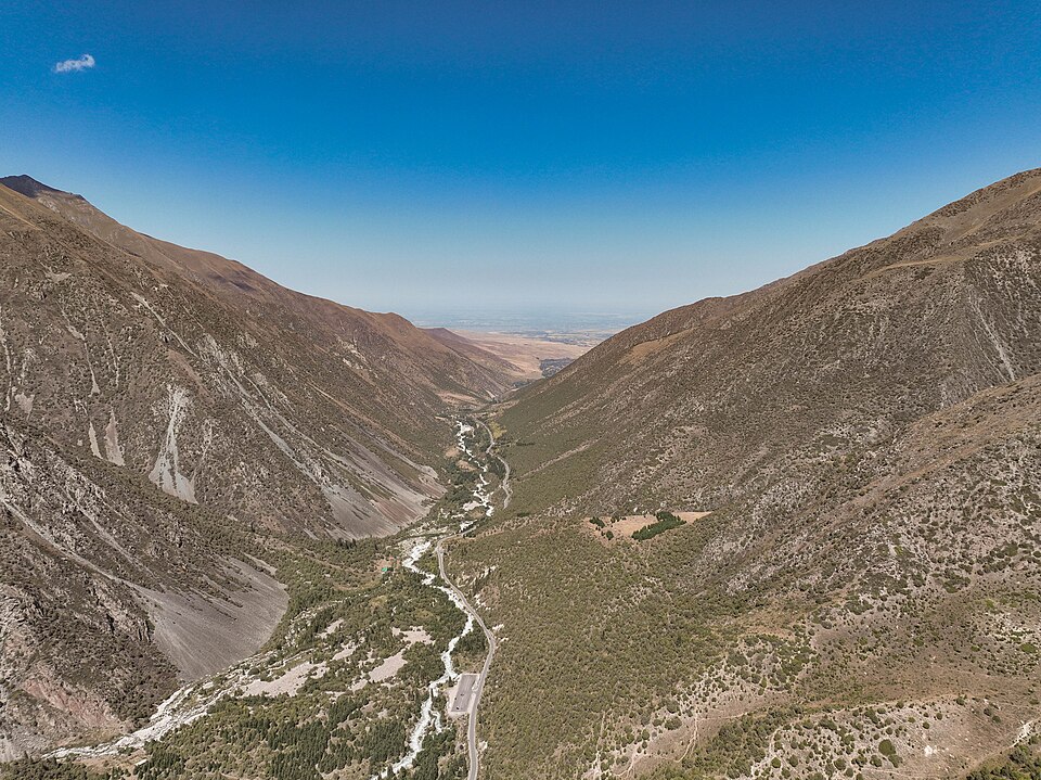
Destination photographs illustrate this article; they do not document every region or route discussed.