Mountain summit
Karauldy / Communist Party of Kyrgyzstan Peak
Elevation above sea level: 4,488 m
Elevation shown in the checked OpenStreetMap summit record; not a new survey. Other checked source values: 4485 m (The climbing classification table publishes this alternative; the discrepancy is unresolved.)
The mapped peak carries the name Communist Party of Kyrgyzstan Peak, with Karauldy recorded as an alternative.
The mapped peak carries the name Communist Party of Kyrgyzstan Peak, with Karauldy recorded as an alternative. This naming detail is useful because local trip descriptions and GPX filenames may use the shorter name. Compare the actual summit coordinate before assuming that similarly named outings describe the same approach or finish.
Two supplied historical lines reach the immediate summit area and support linking those route pages to this place. Their geometry is evidence of a recorded path, not a complete mountaineering description. It does not establish an alpine grade, current rock and snow conditions or the suitability of a descent for another group.
Treat the peak as a separate high-mountain objective within the Kyrgyz Ala-Too. A visit to a lower valley does not automatically provide the time, equipment or experience for continuing to the summit. Discuss the full route and retreat options with an appropriately experienced organiser.
The point helps readers connect names, routes and landscape. Its precision should improve identification rather than create false confidence about a safe line through every slope between the road and the top.
OSM name and alt_name identify one peak; historical GPX proximity is separate evidence.
Plan your visit
Getting there
Check which named summit and ascent line your organiser means; compare the exact point and planned descent.
When to visit
Current high-mountain conditions and the chosen line determine access; no route difficulty is inferred from the map.
Good to know
Confirm local access, opening arrangements and any entry rules before travel. Respect protected sites and local communities; leave the place as you found it.
Sights in and around Karauldy / Communist Party of Kyrgyzstan Peak
Open each place for its description and visit details. Out-of-town stops require a separate journey.
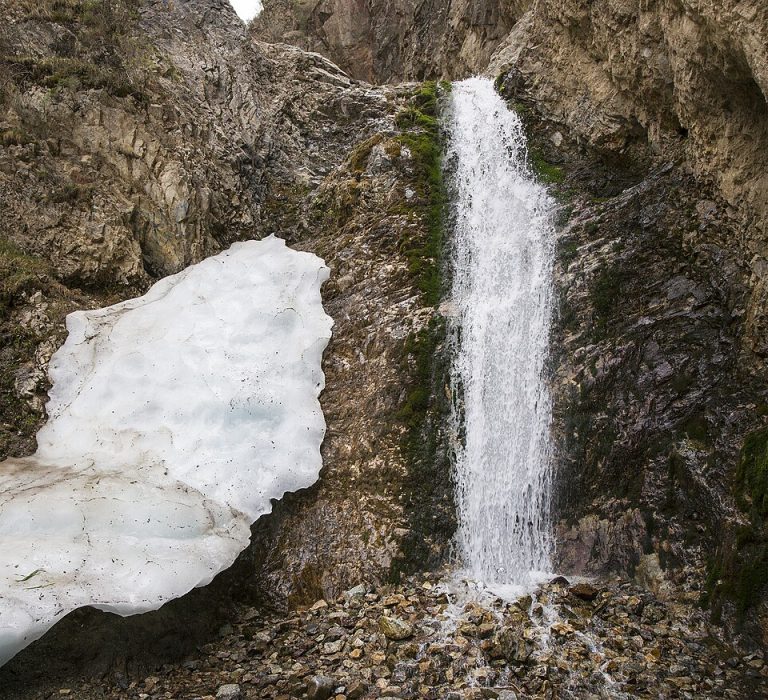
Chuy Region
Issyk-Ata Gorge and Resort
Issyk-Ata combines a mountain valley, a long-established spa setting and traces of an older religious landscape.
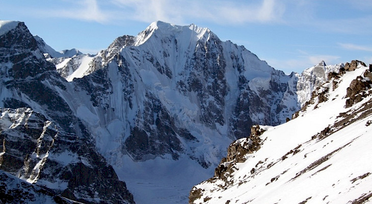
Chuy Region
Turdakun Usubaliev Peak
Elevation above sea level: 4,650 m
Turdakun Usubaliev Peak is a high summit of the Kyrgyz Ala-Too in Chuy Region, also known in older route descriptions as Spartak.
Photo gallery
Photographs of this place have not been added yet.
Location on the map
Location: Karauldy / Communist Party of Kyrgyzstan Peak
42.5549599,74.7988677