Mountain pass
Kegeti Pass
Kegeti Pass is a mountain crossing included in both the Tian Shan Traverse and the Celestial Divide cycling itineraries.
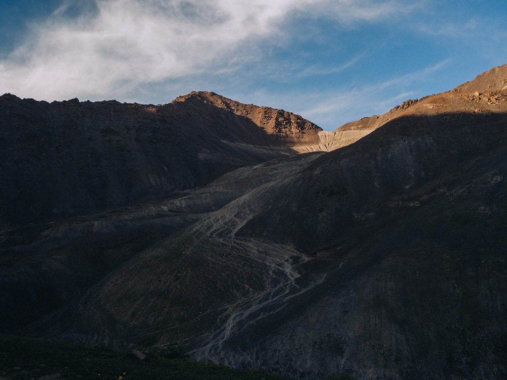 Photo: Rugile (Rue) Kaladyte and Malik Alymkulov; individual frame not separately credited · Copyright retained; source credited; no open licence stated · Source · License
Kegeti Pass is a mountain crossing included in both the Tian Shan Traverse and the Celestial Divide cycling itineraries. Think of it as a separate stage above the gorge, with a climb and descent to plan on either side. The published bicycle itinerary provides one way of crossing; its presence on a map does not establish a suitable route for an ordinary car.
Plan the crossing as a complete stage, including the exit from the far side and the next reliable place to stop. Bring an offline map and make water, food and weather decisions before climbing away from settlements. A point on the pass is an orientation aid, not evidence of a maintained road, running transport or staffed shelter. Ask about recent snow and surface conditions for the exact side you intend to use. Keep enough daylight and flexibility to turn back if the passage differs from the plan.
Geographical reference for the named pass; not a route line, verified entrance or current passage assessment.
Plan your visit
Getting there
Identify the complete mountain approach and return separately; this feature marker is not a vehicle-access confirmation.
When to visit
Choose dates after a current assessment of snow, weather and the specific approach; no guaranteed visiting season is established here.
Good to know
Confirm local access, opening arrangements and any entry rules before travel. Respect protected sites and local communities; leave the place as you found it.
Sights in and around Kegeti Pass
Open each place for its description and visit details. Out-of-town stops require a separate journey.
Chuy Region
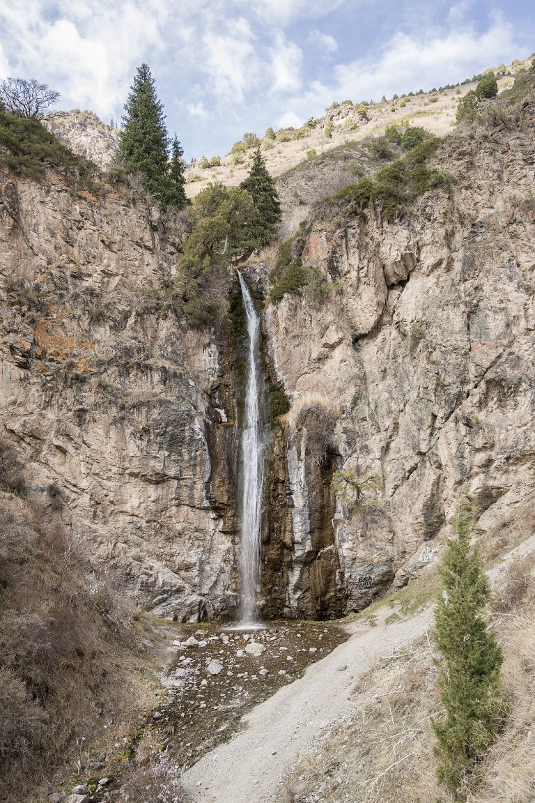
Kegety Gorge
Kegety is one of the mountain valleys south of the Chuy plain, suitable for a day focused on rivers, wooded slopes and walking.
Chuy Region
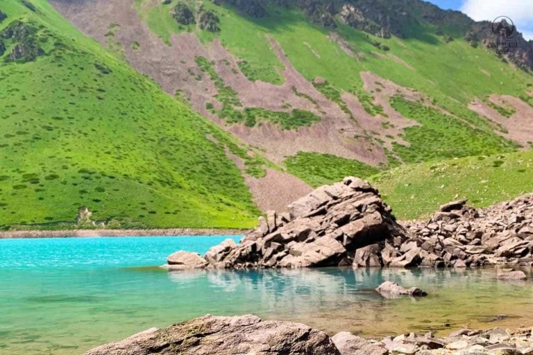
Kol-Tor Lake, Kegety
Kol-Tor above Kegety is a mountain lake reached on foot rather than a roadside stop. The attraction is the whole ascent: river scenery and changing slopes lead towards a quiet basin enclosed by mountains.
Photo gallery
Location on the map
Location: Kegeti Pass
42.426943081617,75.032897417635