Mountain lake
Kol-Kogur Lake
Kol-Kogur is a mountain lake in the Chon-Kemin landscape, a different destination from Kol-Tor in the Kegety gorge.
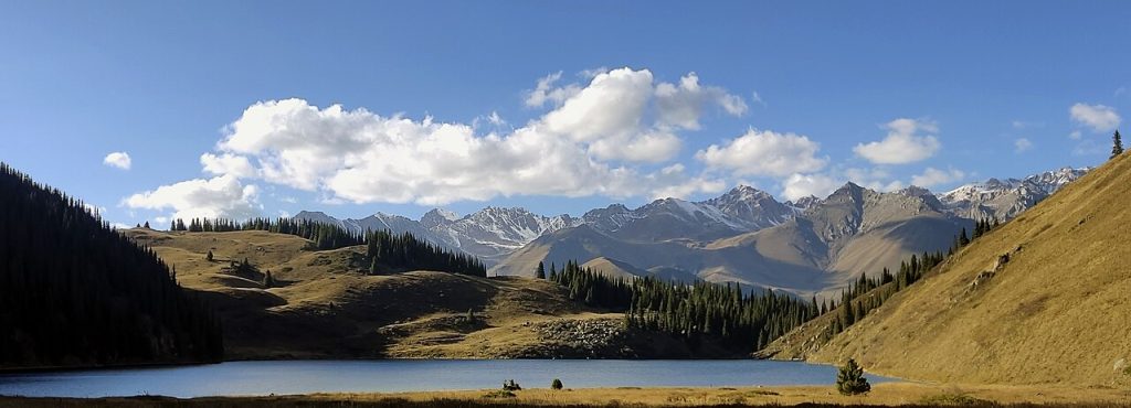 Photo: Georgeorgeorge · CC BY-SA 4.0 · Source · License
Kol-Kogur is a mountain lake in the Chon-Kemin landscape, a different destination from Kol-Tor in the Kegety gorge. It also appears as Kel-Kogur and Köl-Kögür. The lake gives an outing through the forest and pasture country a definite geographical objective, but reaching that objective involves a selected mountain approach rather than simply driving to an arbitrary point on the shore.
Both a local operator’s itinerary and the Chon-Kemin park management material identify a route to the lake. Their descriptions make clear why route choice matters: different approaches can involve valley travel, rising terrain and passes. Do not transfer the distance or height gain from one itinerary to another. Ask which side valley, starting point and return route are included in your actual plan, especially when choosing between a walking trip and a ride.
The lake and surrounding ridges are best understood as part of the park’s larger protected landscape. Forest, meadow and water form a continuous setting; it is not just a place to collect a single blue-water photograph. Give yourself time to look back down the approach and notice how the vegetation changes with height. Remain on established paths, respect pasture use and ask about permitted camping rather than assuming every flat shoreline is available for a tent.
A trip can be combined with a stay in the Chon-Kemin valley, leaving transport and local arrangements to the previous day. This gives time to resolve weather and route questions before setting off. The water polygon provides a defensible lake location on the map; it does not identify a visitor entrance or a reliable parking space. If cloud, snow or a damaged trail makes the intended approach unsuitable, return along a known route instead of treating the lake pin as a reason to cross unfamiliar terrain.
OSM lake polygon; representative point in the waterbody, not a trailhead.
Plan your visit
Getting there
Arrange the approach through the Chon-Kemin side and confirm the selected walking or riding route with the park and your host.
When to visit
Plan a highland lake visit for suitable snow-free conditions; passes and exposed sections need a current assessment.
Good to know
Confirm local access, opening arrangements and any entry rules before travel. Respect protected sites and local communities; leave the place as you found it.
Sights in and around Kol-Kogur Lake
Open each place for its description and visit details. Out-of-town stops require a separate journey.
Chuy Region
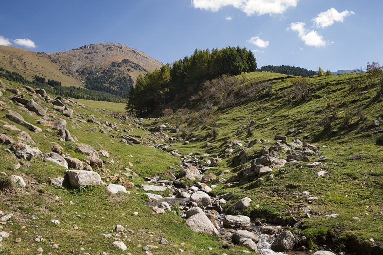
Chon-Kemin National Park
Chon-Kemin is a broad mountain valley where rural settlements, pastures, woodland and the river form a landscape best explored slowly.
Photo gallery
Location on the map
Location: Kol-Kogur Lake
42.7726484,76.4000464