Reservoir landscape
Papan Reservoir
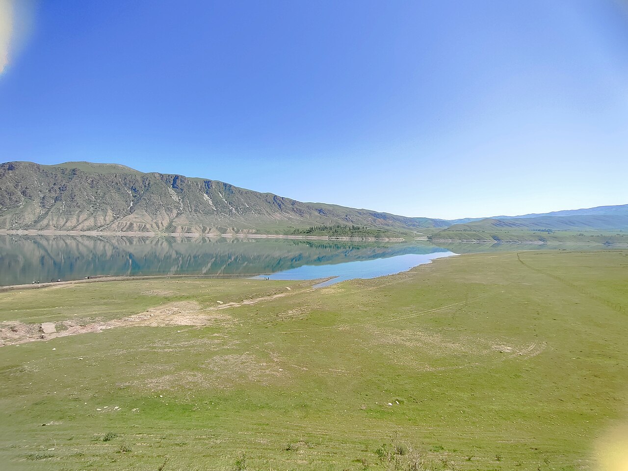
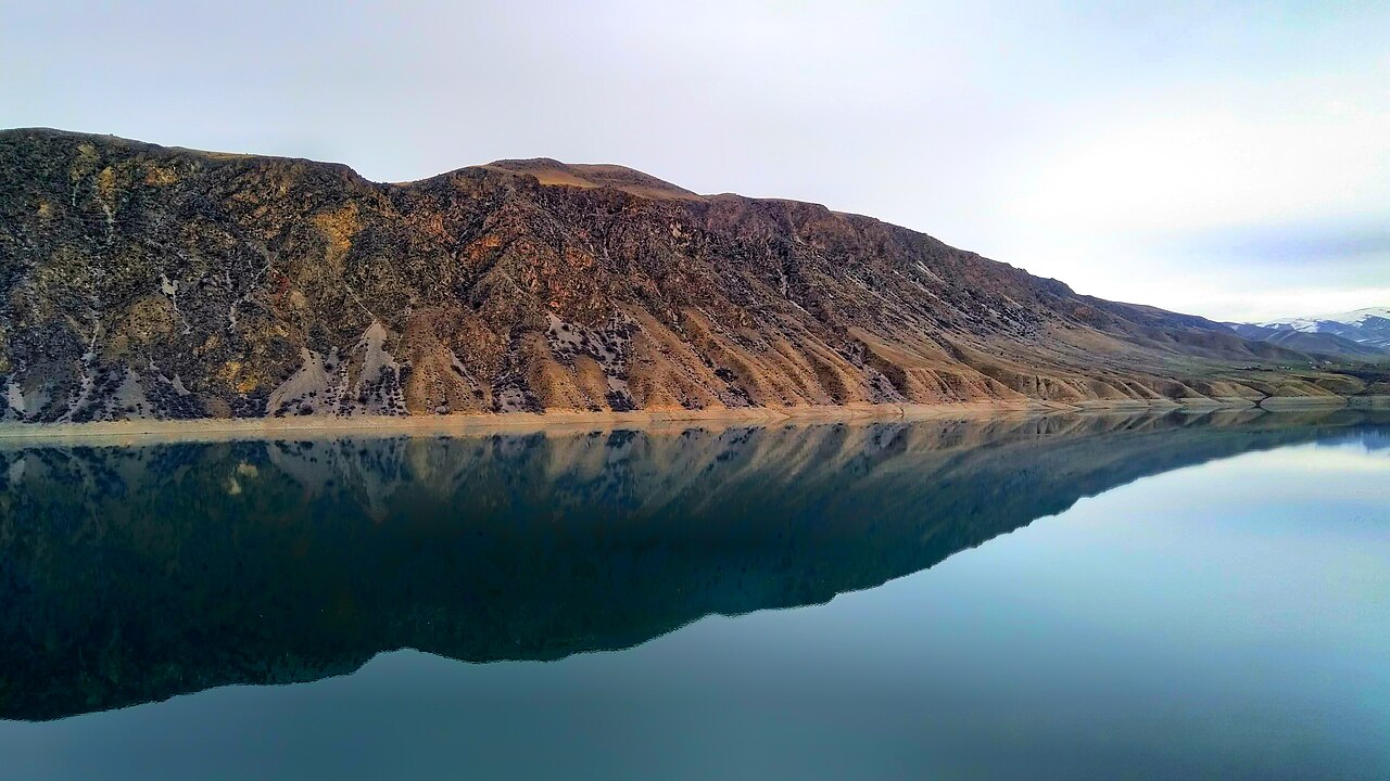
Papan Reservoir lies in the Ak-Buura Valley south of Osh. Its long water body is surrounded by mountain slopes.
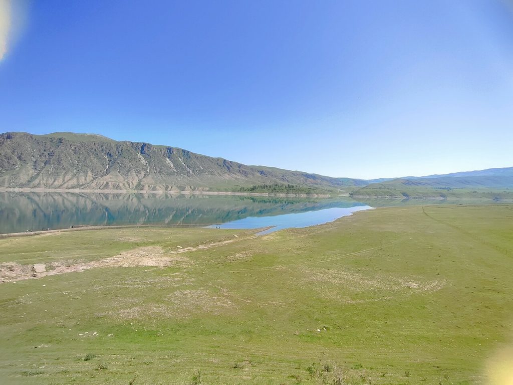 Photo: Muzaffar Murodovich · CC BY-SA 4.0 · Source · License
Papan Reservoir lies in the Ak-Buura Valley south of Osh. Its long water body is surrounded by mountain slopes.
The public map identifies the reservoir itself. It does not establish a public swimming beach, a boat service or unrestricted access to every section of shore. Water levels, working infrastructure and steep banks can affect what is reachable. Plan a surface sightseeing visit around permitted roads and viewpoints, and do not enter dam or utility areas without authorisation. Exact local recreation arrangements need confirmation before setting out.
Public OpenStreetMap feature reference, not a surveyed arrival instruction or access guarantee.
Plan your visit
Getting there
Use permitted shore access only; the reservoir centre point is not an arrival location.
When to visit
Confirm current conditions and local visiting arrangements before travelling.
Good to know
Confirm local access, opening arrangements and any entry rules before travel. Respect protected sites and local communities; leave the place as you found it.
Sights in and around Papan Reservoir
Open each place for its description and visit details. Out-of-town stops require a separate journey.
Osh city
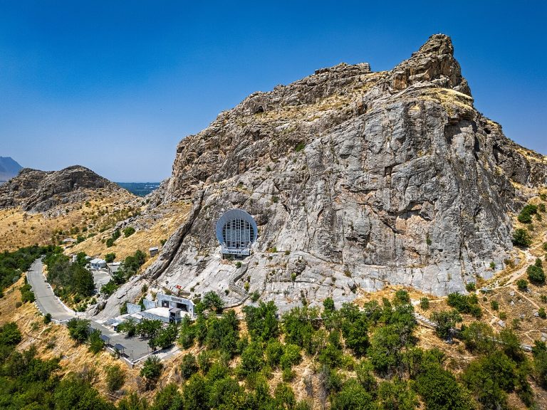
Sulaiman-Too Sacred Mountain
Elevation above sea level: 1,175 m
Sulaiman-Too rises within Osh as a five-peaked sacred mountain. UNESCO inscribed the cultural landscape in 2009, recognising the long interaction between a striking natural landmark and religious practice.
Photo gallery
Location on the map
Location: Papan Reservoir
40.3620361,72.9212769