ROUTE OVERVIEW
At a glance
Route and stops
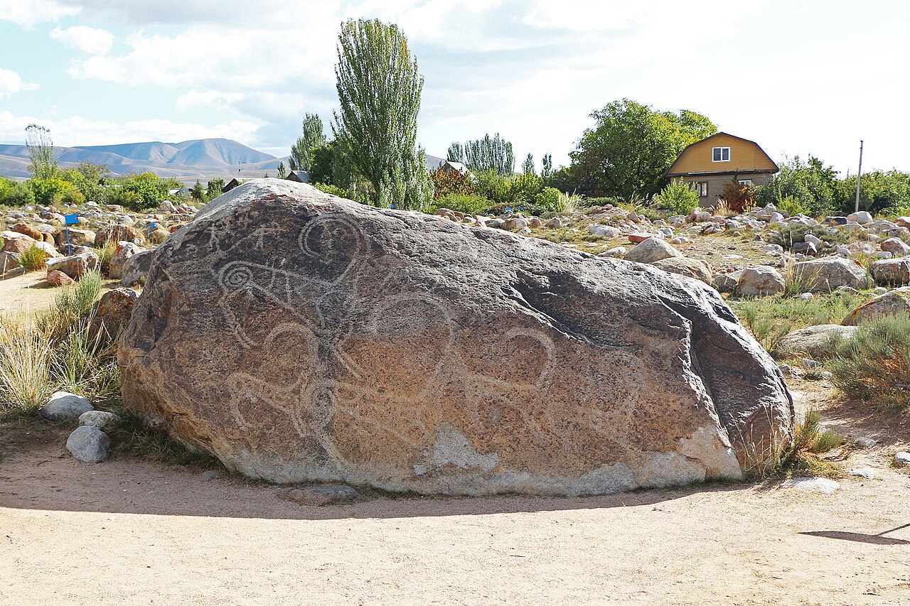
Begin at the petroglyph field above Cholpon-Ata, where ancient images survive on scattered boulders. At the authorised entrance, ask about the walking circuit and whether a guide is available. Spend time looking carefully at a few stones rather than attempting to photograph everything. The purpose of this stage is to notice how carved images sit within the stony foothill landscape. Do not touch, rub, wet or outline a carving to make it clearer.
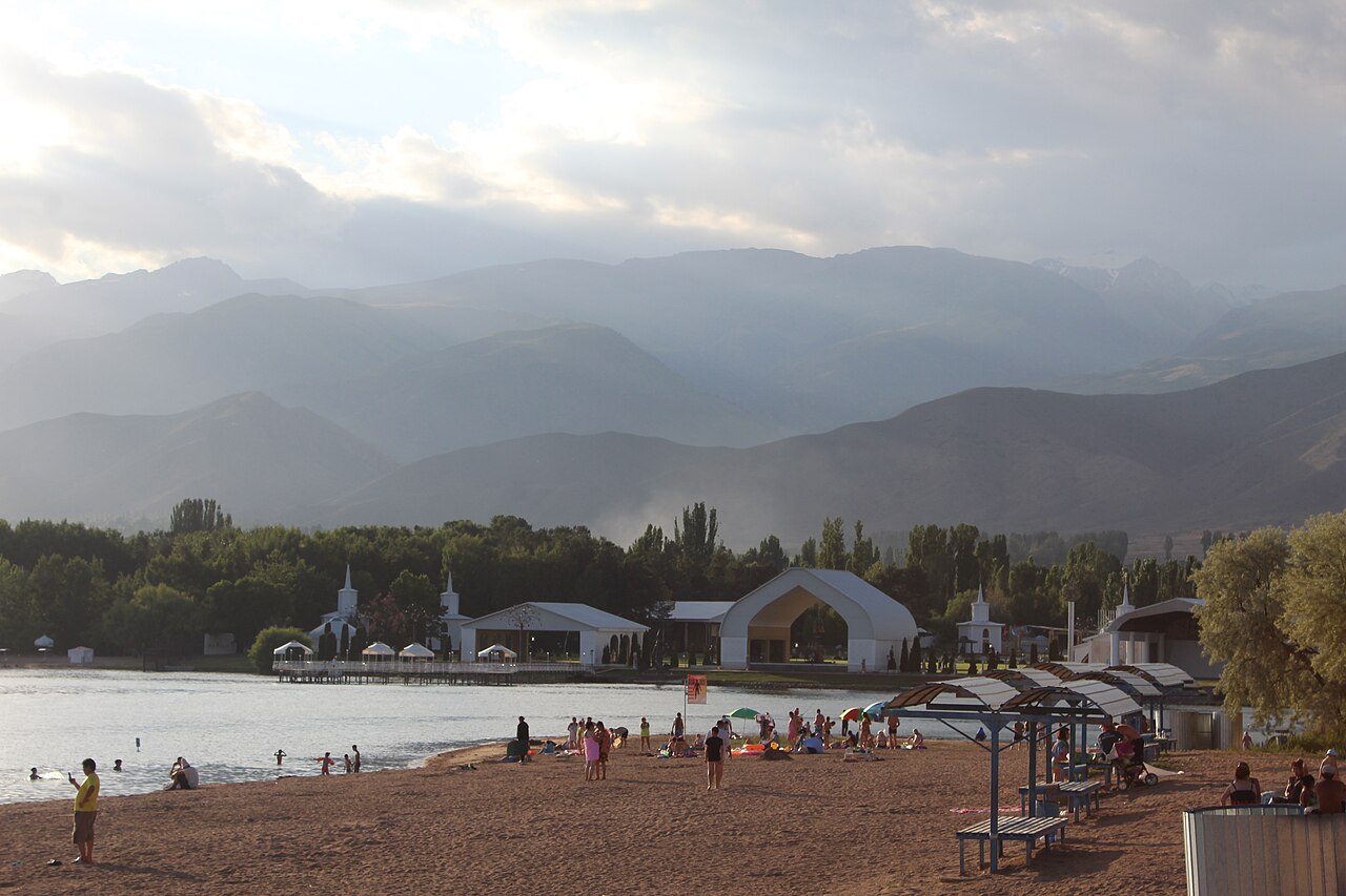
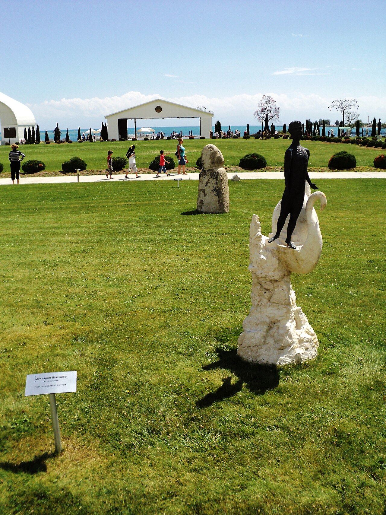
After returning to the public access road, transfer by car or taxi to Rukh Ordo near the lake. This second stop changes the focus from an archaeological landscape to a modern cultural centre associated with Chingiz Aitmatov. Treat its grounds and any available displays as a separate visit, subject to the centre's arrangements. Official events can affect access, so a map location is not a guarantee that the site will admit visitors that day. The transfer is a road journey rather than a signed continuous heritage footpath.
Planning your visit
Allow roughly half a day, adding time for a guided visit and a meal in town. Confirm both admissions and pickup arrangements before starting. Carry sun protection and water: the petroglyph field has exposed, uneven ground, and lakeside weather can change quickly. Use shoes with grip and avoid visiting the boulder field in poor visibility. Buy tickets through a verified current operator or at the legitimate entrance, since an old website address may no longer belong to the venue.
Preparation and equipment
Car or booked taxi plus comfortable shoes for short walks; confirm final access locally.
Track length: 5.1 km. This distance covers the track shown on the map. Add any approach, return or transfer sections that are outside it.
Is this route for you?
Choose the route after checking the actual start, finish and terrain with a local guide. Mapped geometry alone does not establish technical difficulty. Your group should be comfortable navigating offline and changing plans when conditions deteriorate.
- With children
- Not available
- Dogs
- Check local rules
- Bicycles and pushchairs
- Not available
- Phone coverage
- Do not rely on it
What is nearby?
Issyk-Kul Region
Getting there
Car or booked taxi between stops; use legal visitor parking and continue on foot. Confirm every admission and return transfer.
Without a car
Confirm transport to the actual trailhead, not just the nearest town. Agree the return pickup point and a latest contact time before leaving mobile coverage.
By car & parking
Ask locally about road access, entry rules and a permitted place to park. Use the line only for its stated mode of travel and exact scope.
Difficult sections & safety
Traffic, uncertain village entrances, winter ice and venue closures; arrange return transport.
How much time to allow
Confirm current opening, tickets, guides and photography rules directly. Times given here are planning estimates, not a verified timetable.
When to go
Year-round subject to road and museum access; daylight visits in fair weather are preferable.
What to bring
- Trail shoes or boots with good grip; layers, sun protection and waterproofs.
- Drinking water, food, a first-aid kit and a headlamp.
- An offline map, downloaded GPX, a charged phone and a power bank.
- An agreed return plan, local contact and a realistic fallback route.
GOOD QUESTIONS
Before you set out
Can I download GPX and KML?
Yes. The downloads above contain this route geometry for an offline navigation app. They do not confirm current conditions.
Has this route been checked recently?
KyrgyzMap has not field-verified this route. The map source and licence are shown below. Look for approved traveller reports and check conditions with local guides.
Can I go with children?
Suitability for children is not confirmed for this exact route. Check terrain, exposure, river crossings and retreat options with a guide before deciding.
How is the elevation profile calculated?
No elevation readings are available for this route. The profile and total ascent remain unfilled.
Photo gallery
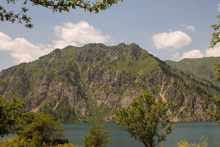
A regional landscape for context; it does not identify every section of the track.
10 photos · select to enlarge
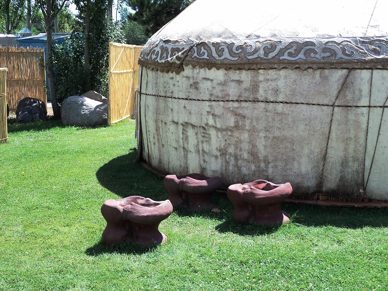
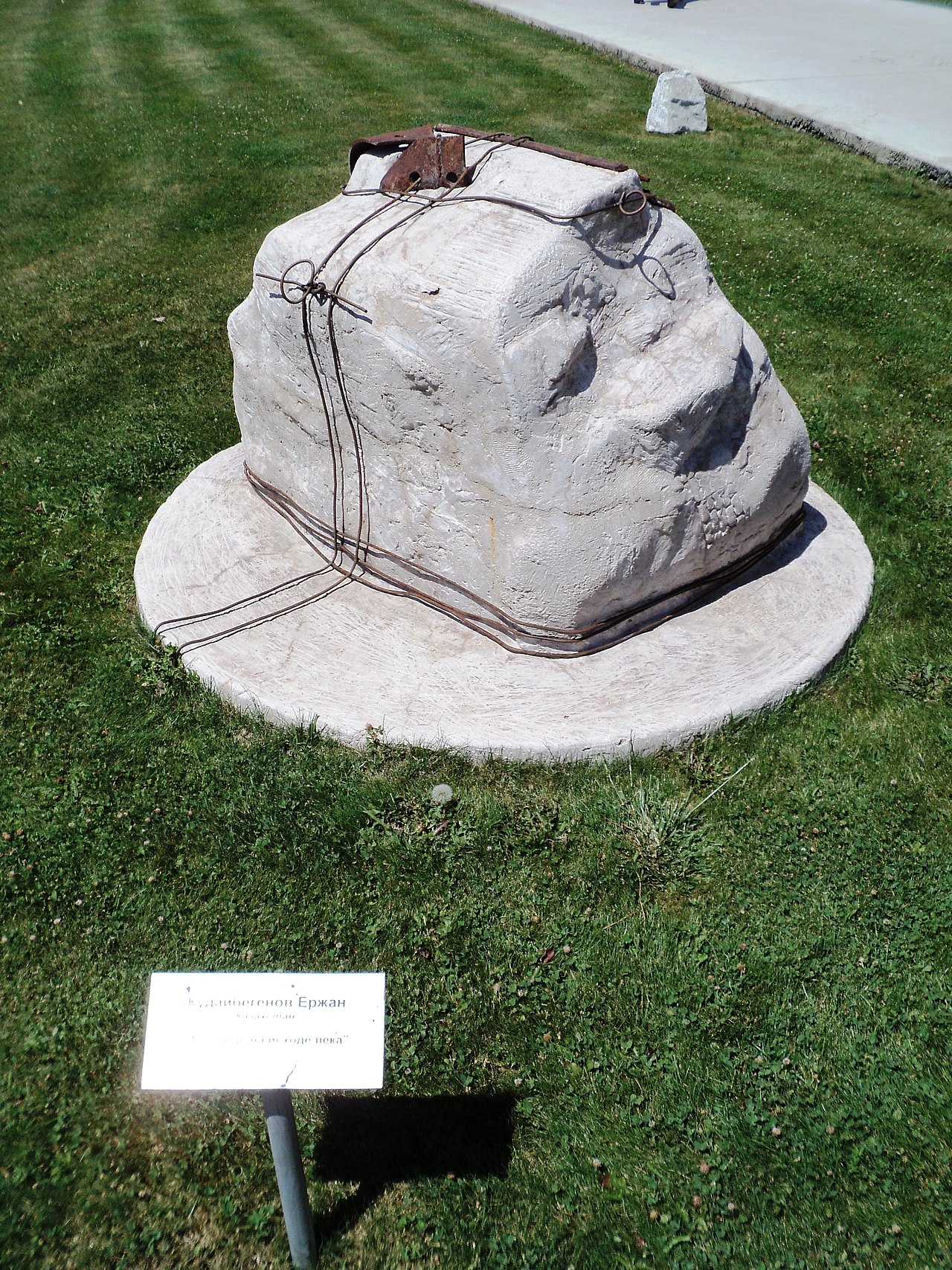
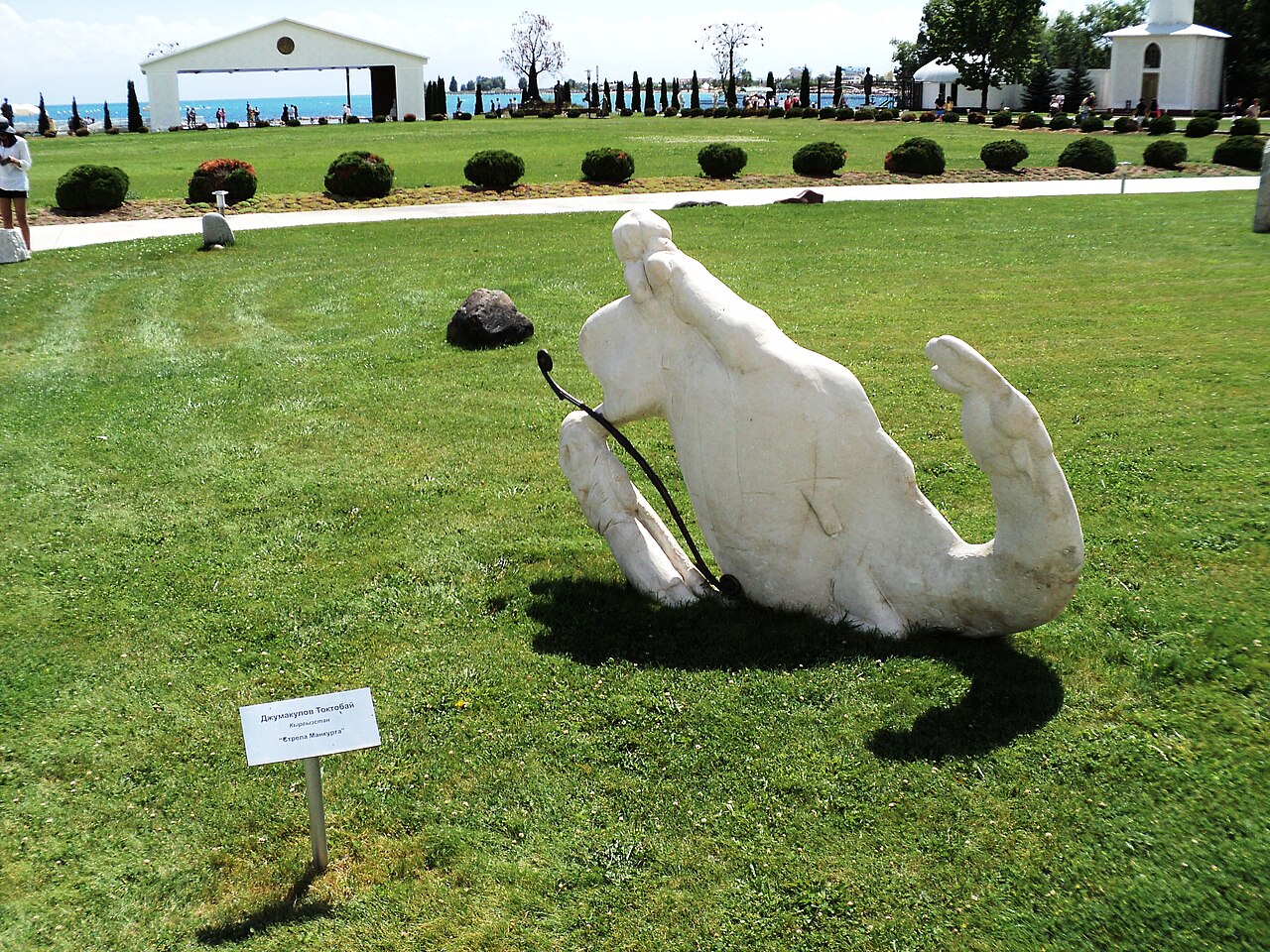
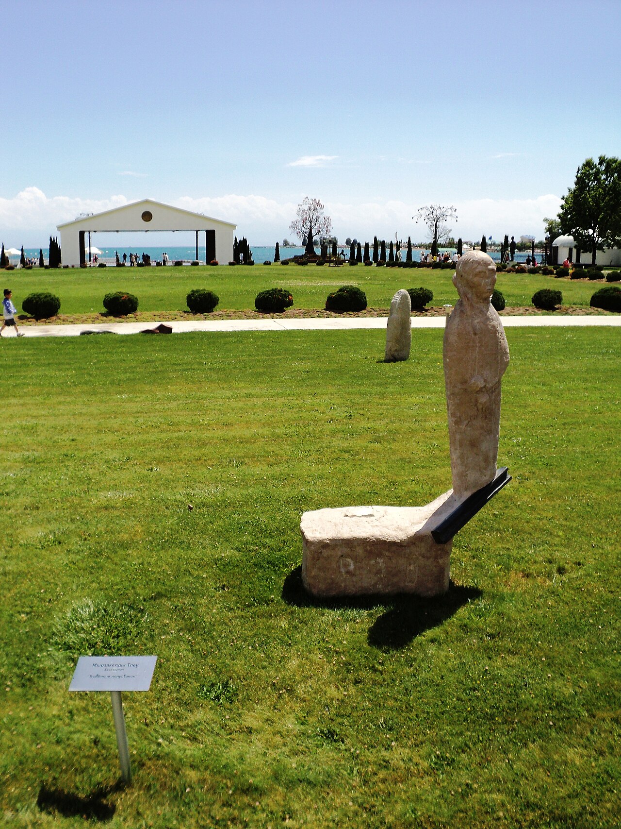
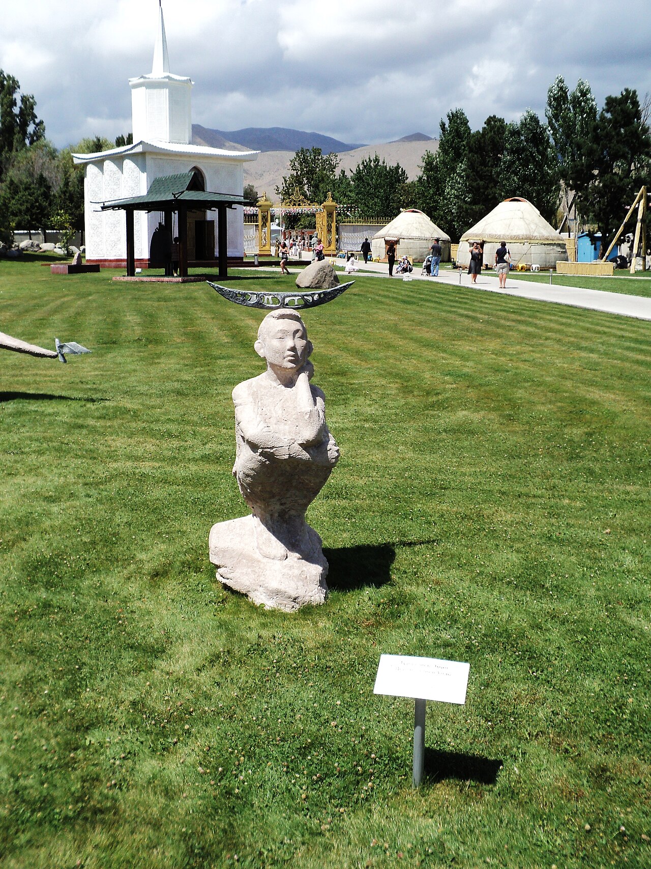
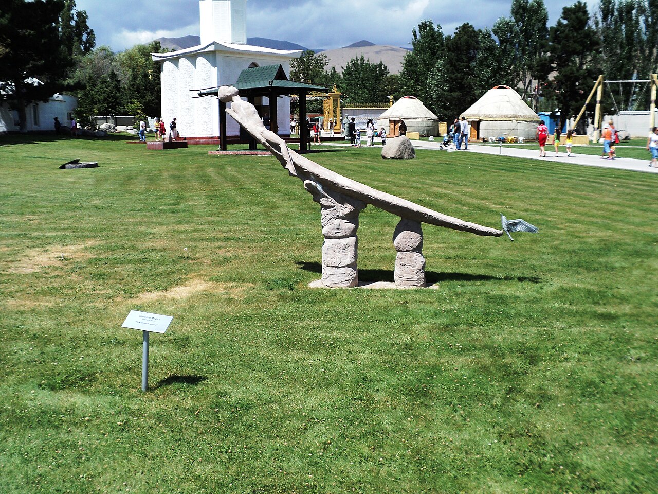
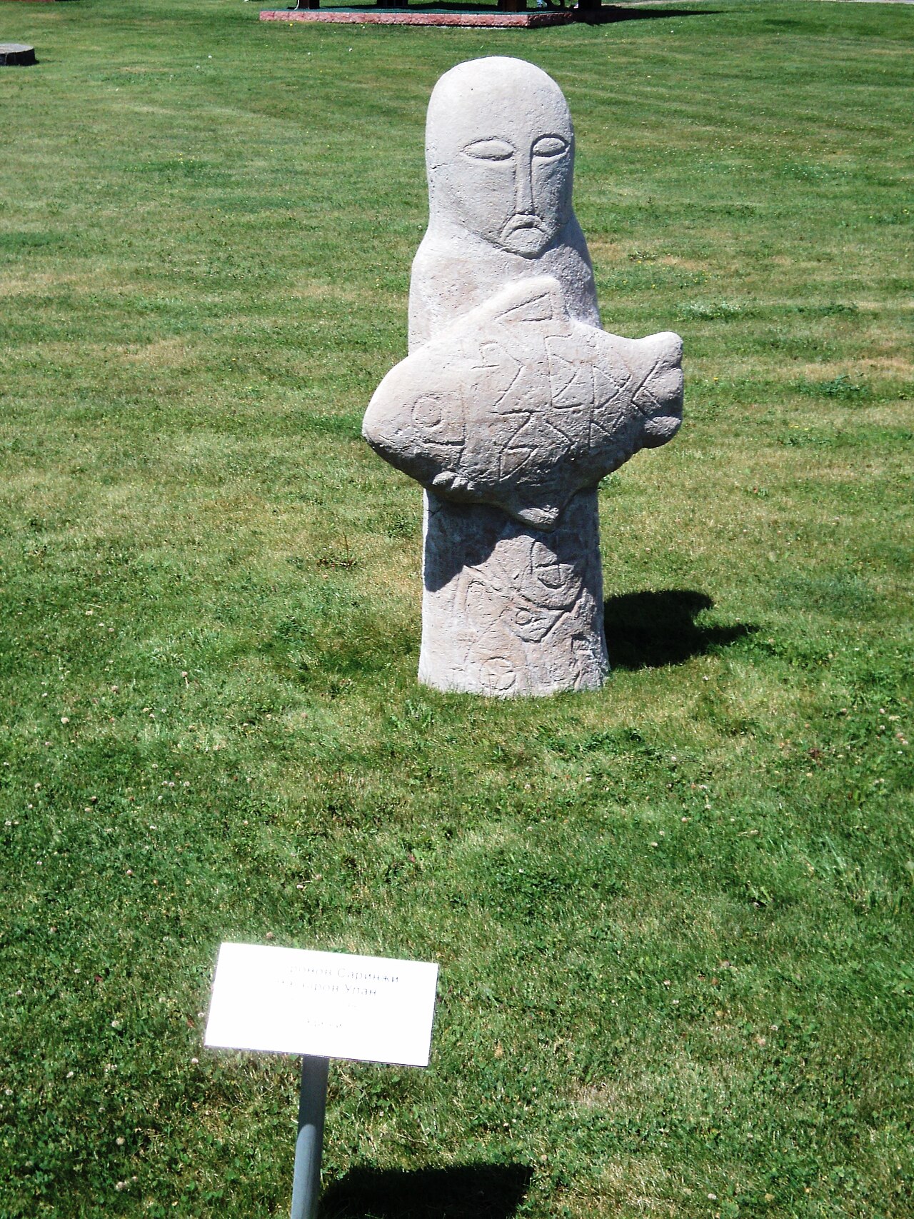
Photographs show named places on this itinerary; they do not document the exact GPX recording.
Photo credits & licences
Photo: Bgag · CC0 · Source · LicensePhoto: Firespeaker · CC BY-SA 4.0 · Source · LicensePhoto: Sergey Sukhinin · CC BY-SA 3.0 · Source · LicensePhoto: Sergey Sukhinin · CC BY-SA 3.0 · Source · LicensePhoto: Sergey Sukhinin · CC BY-SA 3.0 · Source · LicensePhoto: Sergey Sukhinin · CC BY-SA 3.0 · Source · LicensePhoto: Sergey Sukhinin · CC BY-SA 3.0 · Source · LicensePhoto: Sergey Sukhinin · CC BY-SA 3.0 · Source · LicensePhoto: Sergey Sukhinin · CC BY-SA 3.0 · Source · LicensePhoto: Sergey Sukhinin · CC BY-SA 3.0 · Source · LicenseCurrent trail conditions
There are no published condition reports for this route yet.
Travelled this route or spotted an error?
Discussion
Start a conversation about the route, preparation or your experience. Comments are moderated.


Leave a comment