ROUTE OVERVIEW
At a glance
Route and stops
Planning your visit
<p>The north shore of Issyk-Kul can be more than a beach stop. Inland from the resort villages, the lower Grigoriev and Semenov valleys bring river scenery, spruce-covered slopes and pasture country into a manageable day. The itinerary deliberately returns to the coastal road between valleys instead of depending on the mountain link over Kok-Bel.</p>
<p>Begin from accommodation in Cholpon-Ata or a nearby shore village. Drive east to Grigorievka and use a currently confirmed lower gorge road stop. Select the turning place before continuing onto a narrower section. Walk from a legal parking area, keeping clear of fast water and leaving local access open for residents and livestock.</p>
<p>Return by the same road to the shore corridor. Continue to Semenovka and enter the second valley only as far as the vehicle, access rules and current road allow. A named gorge marker may represent a large landscape rather than a visitor car park, so the exact stopping point should be agreed with a local driver or host.</p>
<p>Make one of the walks the longer stop and keep the other short. Alternatively, spread the two valleys across separate mornings and use the afternoons for the lakeshore. Seasonal yurt meals or horse activities need advance agreement; the presence of yurts does not guarantee a restaurant, demonstration or available guide.</p>
<p>Stay in your existing north-shore accommodation, avoiding a late return across an unfamiliar mountain road. Rain can affect bridges, unpaved sections and river margins. High lakes, Kyrchyn extensions and the inter-valley crossing are separate options requiring a new road report and timetable. The lower visits remain a complete outing without those additions.</p>
Lower public road stops reached separately from Grigorievka and Semenovka, returning to the shore road between them. No Kok-Bel mountain crossing or drive to lake pins.
Exact road node in the lower approach, on mapped unpaved Grigorievka–Kashka-Suu tertiary. This is a conservative geometry limit, not a verified parking. Return to Grigorievka village before proceeding east to Semenovka.
Exact road node on mapped unpaved Semyonovka–Ak-Suu tertiary, tracktype=grade2, close to the existing place coordinate. Not a parking guarantee. Return to Semenovka; exclude the inter-gorge Kok-Bel connector.
Preparation and equipment
High-clearance vehicle/local driver preferred for variable gorge roads; a road car is used only as far as current firm surfaces and a safe turnaround permit.
Track length: 74.8 km. This distance covers the track shown on the map. Add any approach, return or transfer sections that are outside it.
Is this route for you?
Choose the route after checking the actual start, finish and terrain with a local guide. Mapped geometry alone does not establish technical difficulty. Your group should be comfortable navigating offline and changing plans when conditions deteriorate.
- With children
- Not available
- Dogs
- Check local rules
- Bicycles and pushchairs
- Not available
- Phone coverage
- Do not rely on it
What is nearby?
Issyk-Kul north shore
Getting there
Use two independent out-and-back lower-gorge approaches from the shore road. Confirm parking/turnaround points; the high connector and lake approaches are excluded.
Without a car
Confirm transport to the actual trailhead, not just the nearest town. Agree the return pickup point and a latest contact time before leaving mobile coverage.
By car & parking
Ask locally about road access, entry rules and a permitted place to park. Use the line only for its stated mode of travel and exact scope.
What you will find along the way
Lower Grigoriev/Chon Ak-Suu and Semenov/Kichi Ak-Suu valleys; north-shore village and lakeside scenery.
- Cholpon-Ata 42.6419, 77.0663
- Grigorievka 42.7168, 77.4821
A point of the supplied route geometry. It does not by itself confirm a parking area, settlement or safe access. Read the access and route notes before planning your visit.
- Grigoriev lower gorge road turnaround limit 42.7596, 77.4782
A point of the supplied route geometry. It does not by itself confirm a parking area, settlement or safe access. Read the access and route notes before planning your visit.
- Grigorievka 42.7168, 77.4821
A point of the supplied route geometry. It does not by itself confirm a parking area, settlement or safe access. Read the access and route notes before planning your visit.
- Semenovka 42.7250, 77.5536
A point of the supplied route geometry. It does not by itself confirm a parking area, settlement or safe access. Read the access and route notes before planning your visit.
- Semenov lower gorge road turnaround limit 42.7656, 77.5250
A point of the supplied route geometry. It does not by itself confirm a parking area, settlement or safe access. Read the access and route notes before planning your visit.
- Semenovka 42.7250, 77.5536
A point of the supplied route geometry. It does not by itself confirm a parking area, settlement or safe access. Read the access and route notes before planning your visit.
Difficult sections & safety
Washed-out bridges, rising rivers, narrow tracks and unverified upper connections; avoid parking in riverbeds or on pasture.
How much time to allow
1 full day or two relaxed half-days. This is an itinerary allowance, not measured driving time; queues, walks and return travel are additional where applicable.
When to go
June–September is the practical green-season window; check recent rain and lower-road access on the day.
What to bring
- Trail shoes or boots with good grip; layers, sun protection and waterproofs.
- Drinking water, food, a first-aid kit and a headlamp.
- An offline map, downloaded GPX, a charged phone and a power bank.
- An agreed return plan, local contact and a realistic fallback route.
GOOD QUESTIONS
Before you set out
Can I download GPX and KML?
Yes. The downloads above contain this route geometry for an offline navigation app. They do not confirm current conditions.
Has this route been checked recently?
KyrgyzMap has not field-verified this route. The map source and licence are shown below. Look for approved traveller reports and check conditions with local guides.
Can I go with children?
Suitability for children is not confirmed for this exact route. Check terrain, exposure, river crossings and retreat options with a guide before deciding.
How is the elevation profile calculated?
No elevation readings are available for this route. The profile and total ascent remain unfilled.
Photo gallery
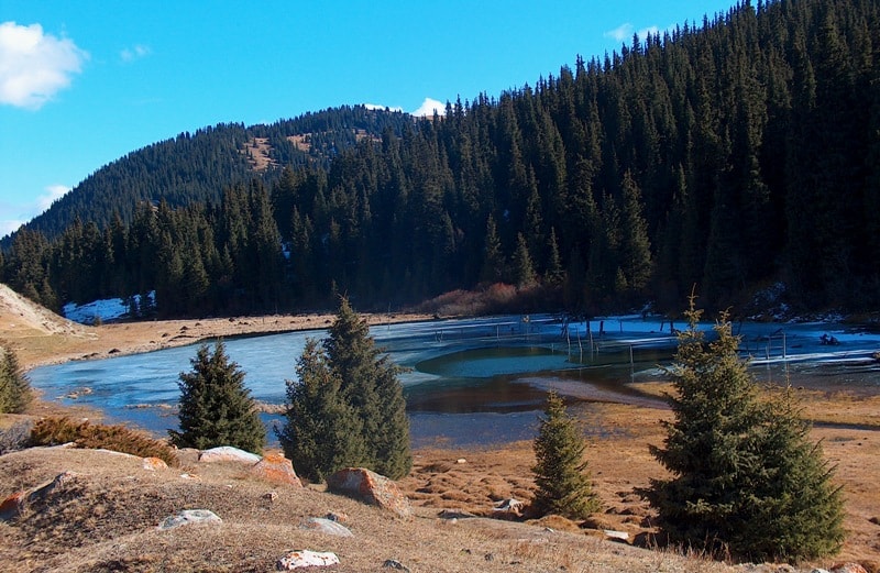
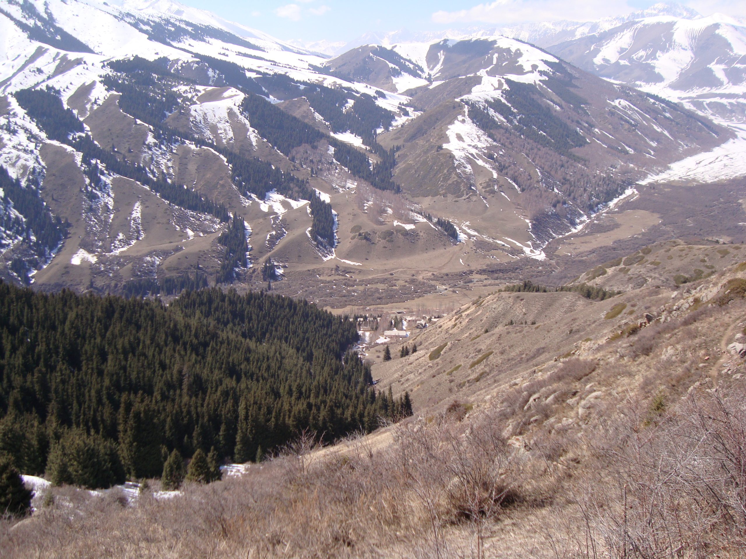
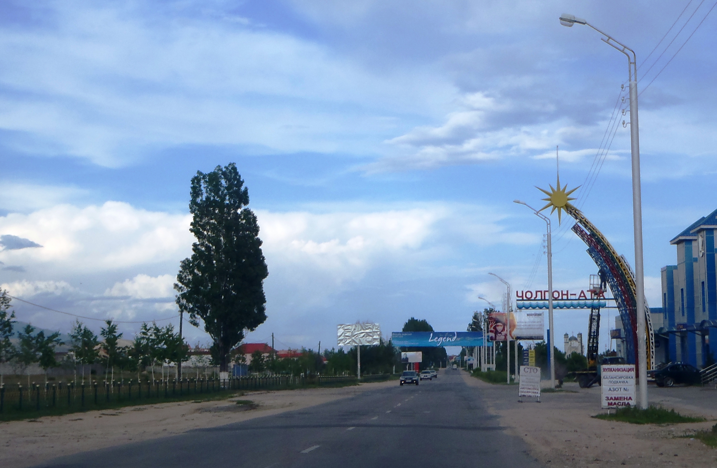
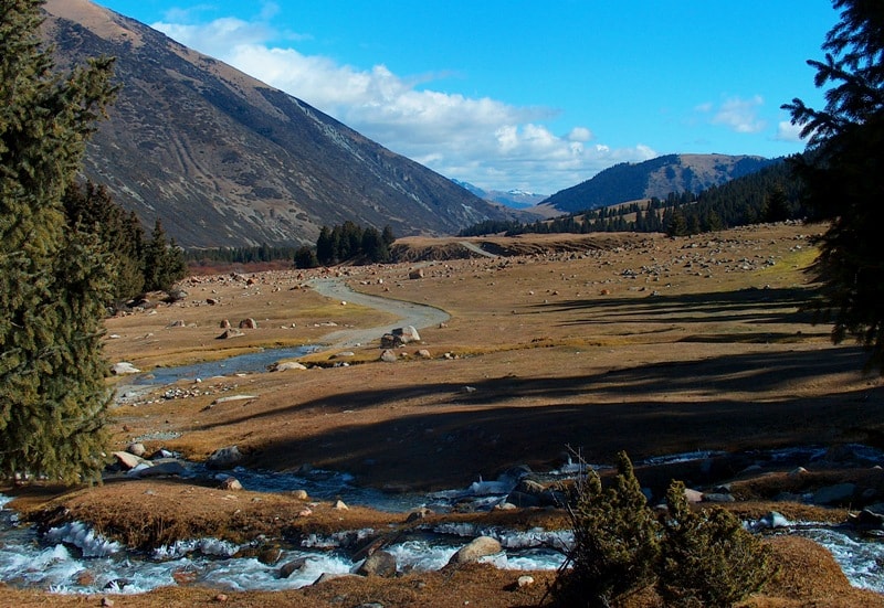
A regional landscape for context; it does not identify every section of the track.
4 photos · select to enlarge
Photographs show named places on this itinerary; they do not document the exact GPX recording.
Photo credits & licences
Photo: Alexander Petrov / Александр Петров · Source permits use with source attribution; copyright retained · Source · LicensePhoto: Nomad's Land (publisher; individual photographer not named) · Copyright retained; no open licence stated · Source · LicensePhoto: Nomad's Land (publisher; individual photographer not named) · Copyright retained; no open licence stated · Source · LicensePhoto: Alexander Petrov / Александр Петров · Source permits use with source attribution; copyright retained · Source · LicenseCurrent trail conditions
There are no published condition reports for this route yet.
Travelled this route or spotted an error?
Discussion
Start a conversation about the route, preparation or your experience. Comments are moderated.


Leave a comment