ROUTE OVERVIEW
At a glance
A full circuit of the lake
This journey links the northern and southern shores of Issyk-Kul into one loop, with Balykchy as the practical starting point. The northern side offers resort towns and village services; the eastern part reaches Karakol, while the southern return opens onto drier foothills and broad lake views. The road frequently leaves the water, so this is a circuit of the basin rather than a continuous beach path.
Suggested stages
Begin with the north-shore section towards Cholpon-Ata, splitting it around your accommodation and daily riding range. Continue east and spend a rest day in Karakol if you want to visit the city. Turn west along the southern side, using Tamga and Bokonbaevo as potential overnight bases before returning to Balykchy. This order is an editorial plan; wind and local conditions can justify reversing it.
Stop to explore the Cholpon-Ata petroglyphs and Karakol’s cultural sites using the linked place pages. Excursions to Skazka Canyon, the Barskoon waterfalls or Jeti-Oguz add distance and sometimes rougher access. They are not automatically included in the main line: park the bike securely for walks, and budget a separate day where needed.
Stays, food and repairs
Book guesthouses around your stages and ask about secure bicycle storage. Confirm meals and drinking water before longer stretches; do not assume that every village has an open workshop. Carry cash, snacks and enough water for the next confirmed supply point. Camping requires a suitable legal site and local agreement where land is used by residents or businesses.
What the GPX represents
Published accounts confirm that cycling around the lake is an established journey. The inspected 2012 GPS record is historical and contains gaps; it is not presented here as a current continuous ride. This downloadable line is a new plan on the mapped cycling network. It has not been ridden or surveyed by KyrgyzMap. Check roadworks and traffic locally before each stage.
Preparation and equipment
A maintained touring, gravel or mountain bike with luggage capacity, reliable brakes and tyres suitable for rough surfaces. Carry a helmet, lights, visible clothing, puncture supplies, pump and basic tools.
Track length: 463.5 km. This distance covers the track shown on the map. Add any approach, return or transfer sections that are outside it.
Is this route for you?
Choose the route after checking the actual start, finish and terrain with a local guide. Mapped geometry alone does not establish technical difficulty. Your group should be comfortable navigating offline and changing plans when conditions deteriorate.
- With children
- Not available
- Dogs
- Check local rules
- Bicycles and pushchairs
- Not available
- Phone coverage
- Do not rely on it
What is nearby?
Issyk-Kul Region
Getting there
Start and finish in Balykchy. Arrange a vehicle transfer from Bishkek that can carry the bicycle and luggage; the Boom Gorge approach is outside this track.
Without a car
Confirm transport to the actual trailhead, not just the nearest town. Agree the return pickup point and a latest contact time before leaving mobile coverage.
By car & parking
Ask locally about road access, entry rules and a permitted place to park. Use the line only for its stated mode of travel and exact scope.
What you will find along the way
Cholpon-Ata and its petroglyphs, Karakol, lakeside villages, south-shore beaches and views of the Terskey mountains. Skazka and Barskoon are optional separate excursions.
- Balykchy 42.4567, 76.1964
- Cholpon-Ata 42.6419, 77.0663
- Ananyevo 42.7404, 77.6729
A point of the supplied route geometry. It does not by itself confirm a parking area, settlement or safe access. Read the access and route notes before planning your visit.
- Tyup 42.7343, 78.3587
A point of the supplied route geometry. It does not by itself confirm a parking area, settlement or safe access. Read the access and route notes before planning your visit.
- Karakol 42.4919, 78.3970
- Old church in Kyzyl-Suu 42.3381, 78.0052
A point of the supplied route geometry. It does not by itself confirm a parking area, settlement or safe access. Read the access and route notes before planning your visit.
- Tamga 42.1508, 77.5493
A point of the supplied route geometry. It does not by itself confirm a parking area, settlement or safe access. Read the access and route notes before planning your visit.
- Bokonbaevo 42.1140, 76.9962
A point of the supplied route geometry. It does not by itself confirm a parking area, settlement or safe access. Read the access and route notes before planning your visit.
- Balykchy 42.4567, 76.1964
Difficult sections & safety
Fast traffic and narrow shoulders, roadworks, exposed crosswinds and sudden rain. A mapped cycling line is not a separated cycle lane. Confirm each day’s road conditions and arrange a transfer if traffic or construction makes riding unsuitable.
How much time to allow
The 7–10-day schedule is an editorial suggestion, not the time of a recorded ride. Divide the final track into stages matching your loaded-bike pace. Add rest days, weather reserve and any sightseeing detours; do not use a routing engine’s moving time as a trip schedule.
When to go
Late spring to early autumn, subject to weather
What to bring
- Trail shoes or boots with good grip; layers, sun protection and waterproofs.
- Drinking water, food, a first-aid kit and a headlamp.
- An offline map, downloaded GPX, a charged phone and a power bank.
- An agreed return plan, local contact and a realistic fallback route.
GOOD QUESTIONS
Before you set out
Can I download GPX and KML?
Yes. The downloads above contain this route geometry for an offline navigation app. They do not confirm current conditions.
Has this route been checked recently?
KyrgyzMap has not field-verified this route. The map source and licence are shown below. Look for approved traveller reports and check conditions with local guides.
Can I go with children?
Suitability for children is not confirmed for this exact route. Check terrain, exposure, river crossings and retreat options with a guide before deciding.
How is the elevation profile calculated?
No elevation readings are available for this route. The profile and total ascent remain unfilled.
Photo gallery
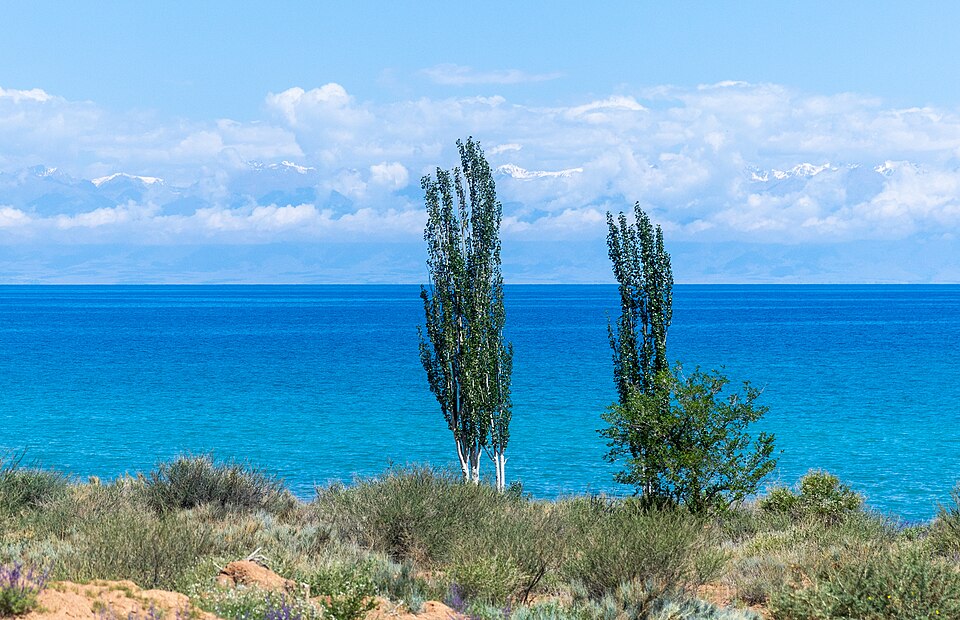
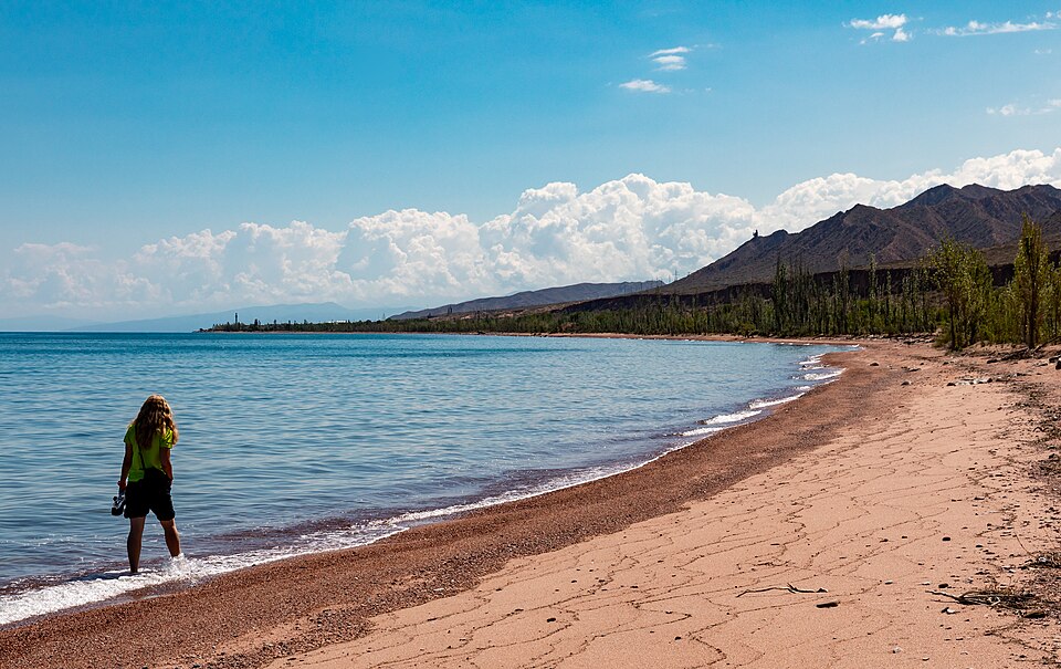
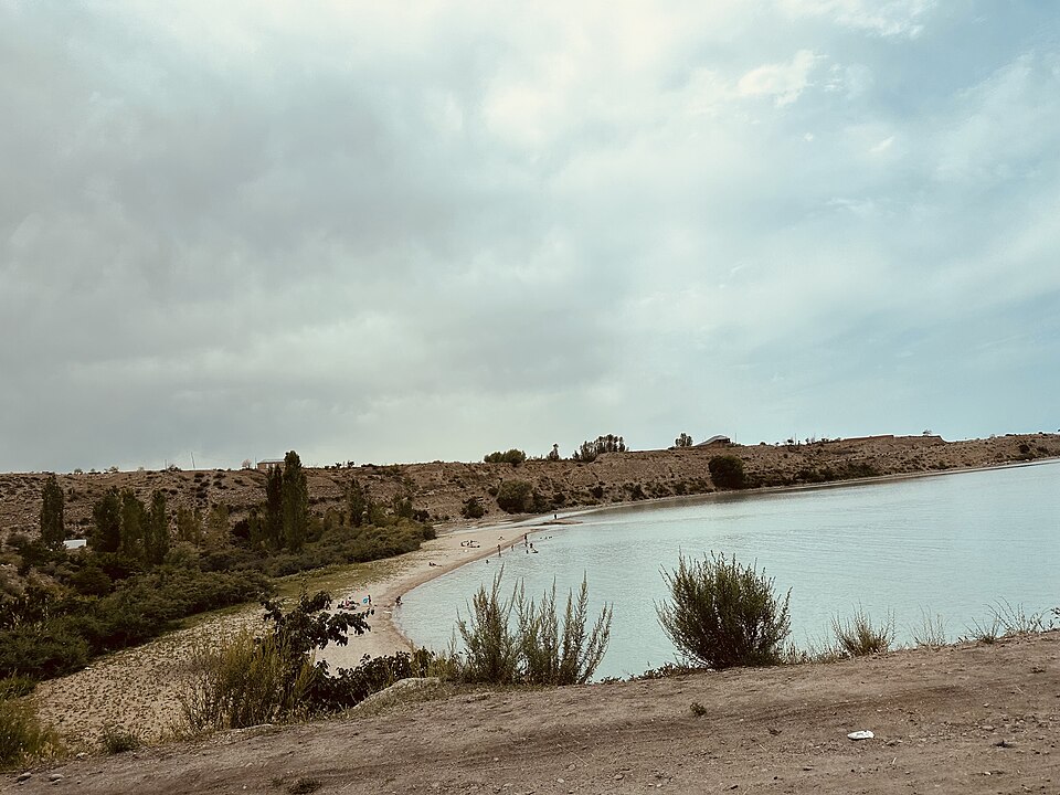
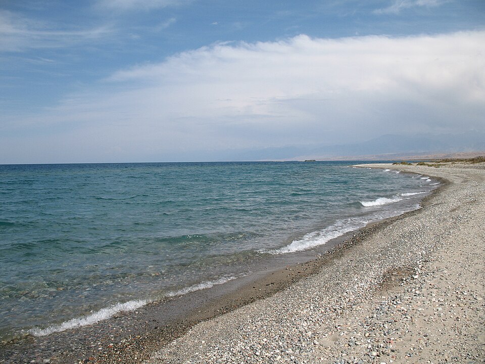
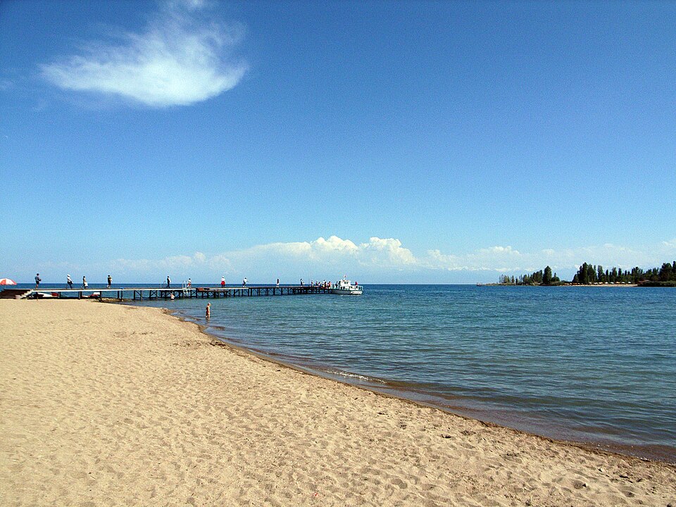
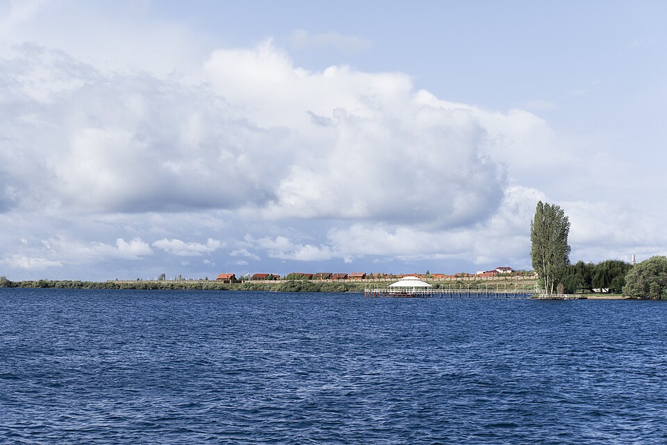
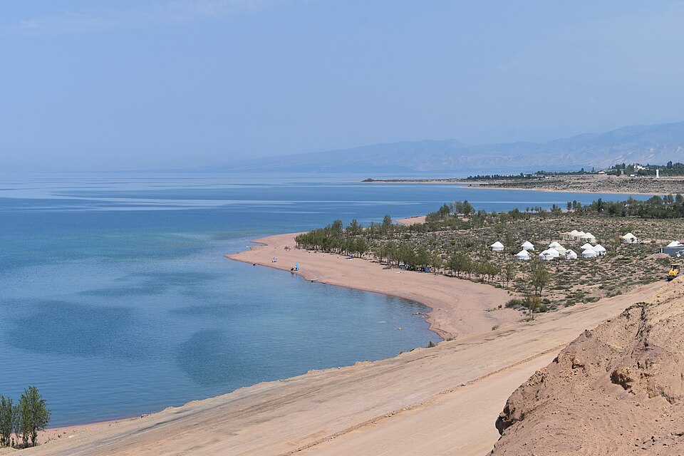
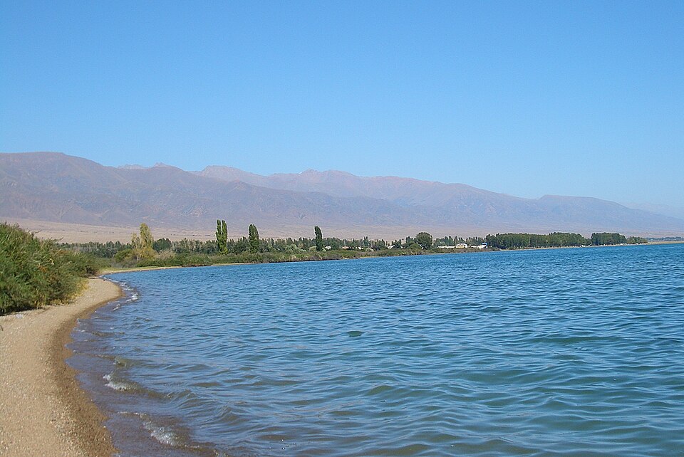
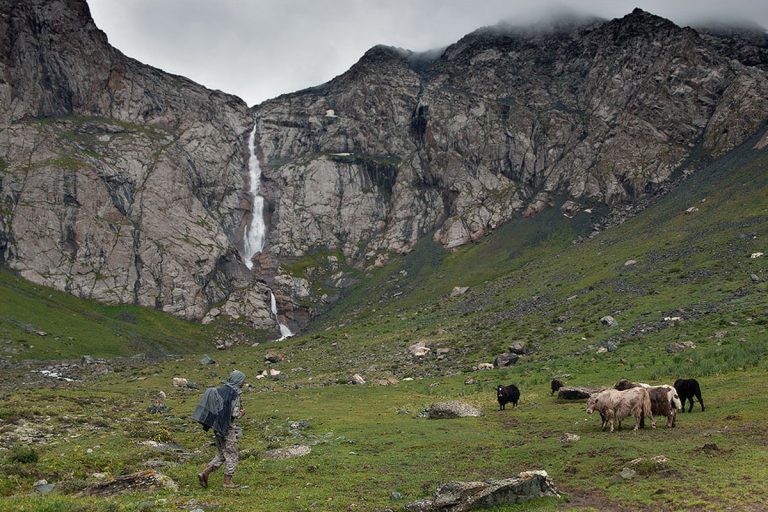
A regional landscape for context; it does not identify every section of the track.
8 photos · select to enlarge
Photographs show named places on this itinerary; they do not document the exact GPX recording.
Photo credits & licences
Photo: Ninara from Helsinki, Finland · CC BY 2.0 · Source · LicensePhoto: Ninara from Helsinki, Finland · CC BY 2.0 · Source · LicensePhoto: Ada Awa · CC BY-SA 2.0 · Source · LicensePhoto: Nikolay Yushnikov · Public domain · Source · LicensePhoto: Chen Zhao · CC BY 2.0 · Source · LicensePhoto: Vilya Shoni · CC BY-SA 4.0 · Source · LicensePhoto: Maritza Cerda Cerda · CC BY-SA 4.0 · Source · LicensePhoto: Vmenkov · CC BY-SA 4.0 · Source · LicenseCurrent trail conditions
There are no published condition reports for this route yet.
Travelled this route or spotted an error?
Discussion
Start a conversation about the route, preparation or your experience. Comments are moderated.


Leave a comment