ROUTE OVERVIEW
At a glance
Route and stops
Stay in the valley or arrive with enough time to meet the local team before mounting. The Kemin district administration lists one-day horse outings among the area’s tourism activities, and local guides publish day programmes from Bishkek. Use Kalmak-Ashuu as a village-base reference, then confirm the actual meeting point with the provider; it need not be the same place for every booking.
For a first ride, a short, well-managed outing is more useful than an ambitious distance. Tell the guide honestly how much riding you have done, ask for a suitable horse and make sure you understand the briefing before leaving. Agree a walk-based pace if that is what you need. Reserve a correctly sized helmet and suitable footwear before travelling, rather than discovering an equipment problem at the mounting point.
Planning your visit
A guesthouse lunch and a relaxed evening are easy to combine with the experience, provided meals are ordered in advance. Keep the route flexible: a guide may choose a different track after rain or where livestock is being moved. Return to the starting area instead of adding an improvised upper-valley crossing. The single map anchor shows the village base only; it is not a suggested riding loop, a trailhead guarantee or a navigation track.
The map shows location anchors only. No verified horseback GPX was found for this variant, so there is no navigation line or downloadable track. A published riding programme does not establish the precise path; agree it with the local horse guide.
Preparation and equipment
A horse selected by the local team, with a horse guide and agreed beginner support where needed.
Track length: Not available. This distance covers the track shown on the map. Add any approach, return or transfer sections that are outside it.
Is this route for you?
Choose the route after checking the actual start, finish and terrain with a local guide. Mapped geometry alone does not establish technical difficulty. Your group should be comfortable navigating offline and changing plans when conditions deteriorate.
- With children
- Not available
- Dogs
- Check local rules
- Bicycles and pushchairs
- Not available
- Phone coverage
- Do not rely on it
What is nearby?
Chuy
Getting there
Reach your agreed guesthouse or riding base in the Chon-Kemin valley; confirm the exact pickup with the provider.
Without a car
Confirm transport to the actual trailhead, not just the nearest town. Agree the return pickup point and a latest contact time before leaving mobile coverage.
By car & parking
Ask locally about road access, entry rules and a permitted place to park. Use the line only for its stated mode of travel and exact scope.
What you will find along the way
Village life, open pastures and the mountain backdrop of Chon-Kemin.
- Kalmak-Ashuu village base 42.7223, 76.0865
A point of the supplied route geometry. It does not by itself confirm a parking area, settlement or safe access. Read the access and route notes before planning your visit.
Difficult sections & safety
Unfamiliar horses, wet ground, loose equipment and a route beyond the rider’s experience. Match the outing to the least experienced participant.
How much time to allow
Separate the horse-riding time from the drive out of Bishkek, briefing, lunch and return.
When to go
Spring to autumn for a lower-valley outing, subject to the provider’s assessment of ground and weather.
What to bring
- Trail shoes or boots with good grip; layers, sun protection and waterproofs.
- Drinking water, food, a first-aid kit and a headlamp.
- An offline map, downloaded GPX, a charged phone and a power bank.
- An agreed return plan, local contact and a realistic fallback route.
GOOD QUESTIONS
Before you set out
Can I download GPX and KML?
No verified track is available for this particular line yet. The page provides a route overview and preparation notes.
Has this route been checked recently?
KyrgyzMap has not field-verified this route. The map source and licence are shown below. Look for approved traveller reports and check conditions with local guides.
Can I go with children?
Suitability for children is not confirmed for this exact route. Check terrain, exposure, river crossings and retreat options with a guide before deciding.
How is the elevation profile calculated?
No elevation readings are available for this route. The profile and total ascent remain unfilled.
Photo gallery
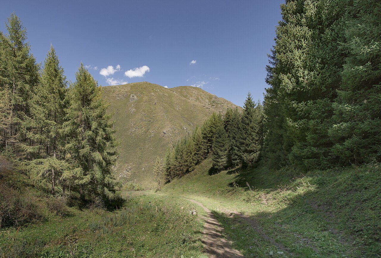
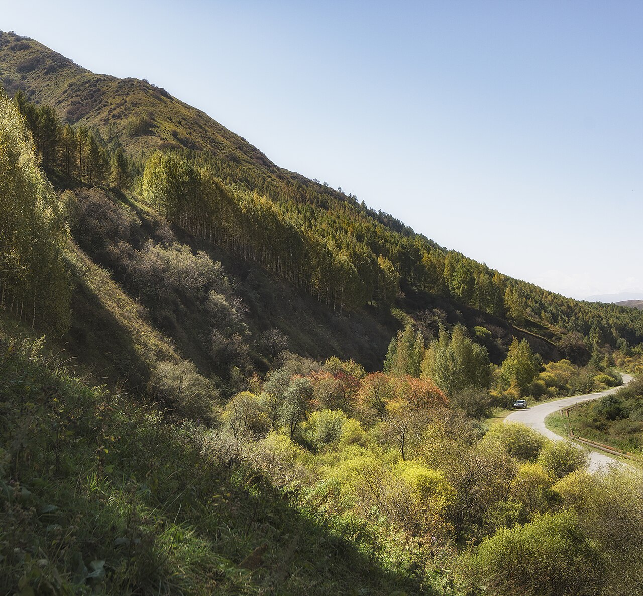
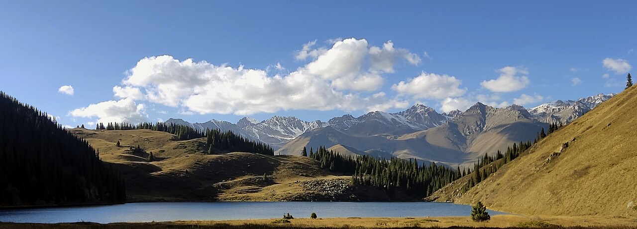
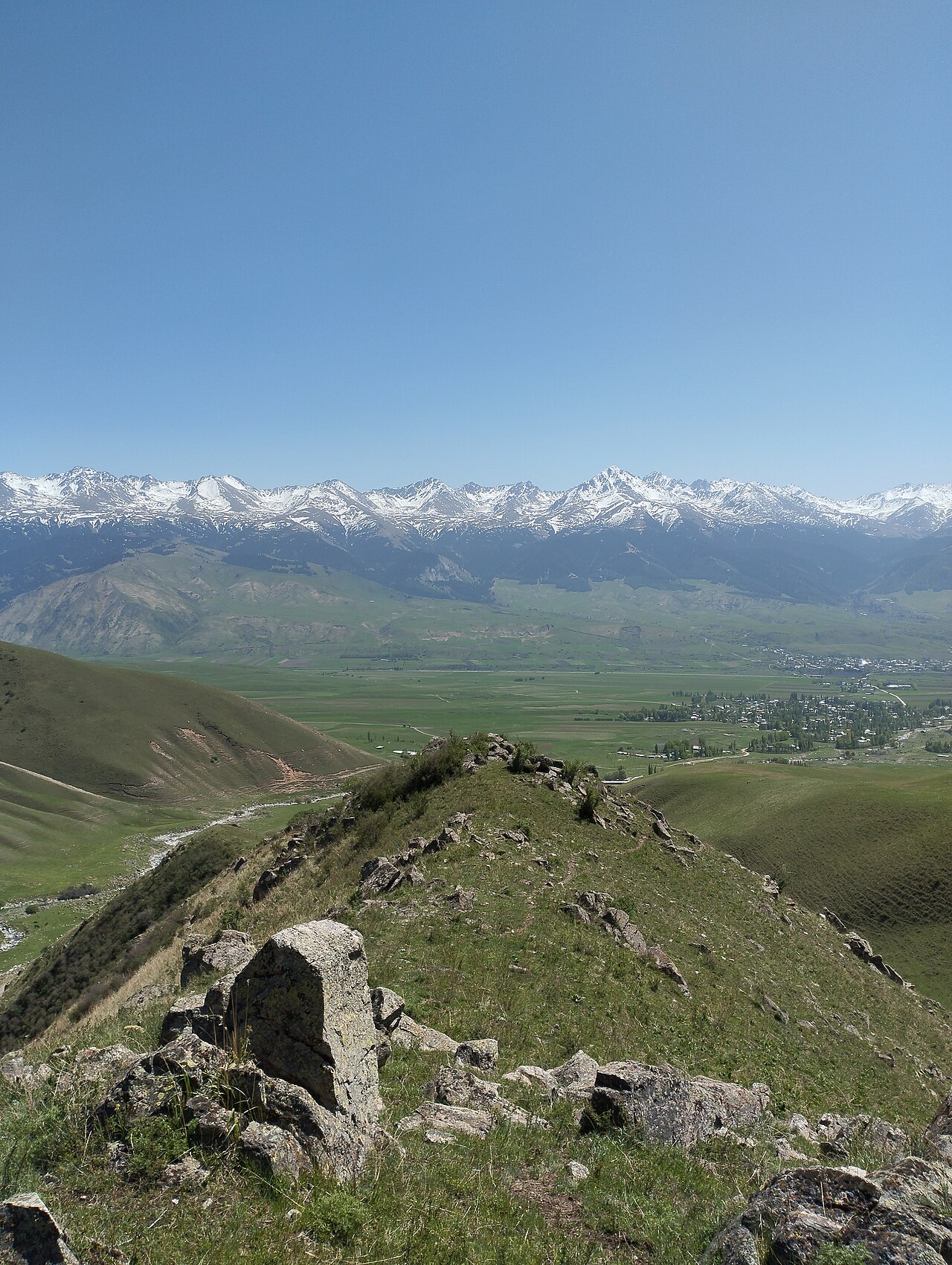
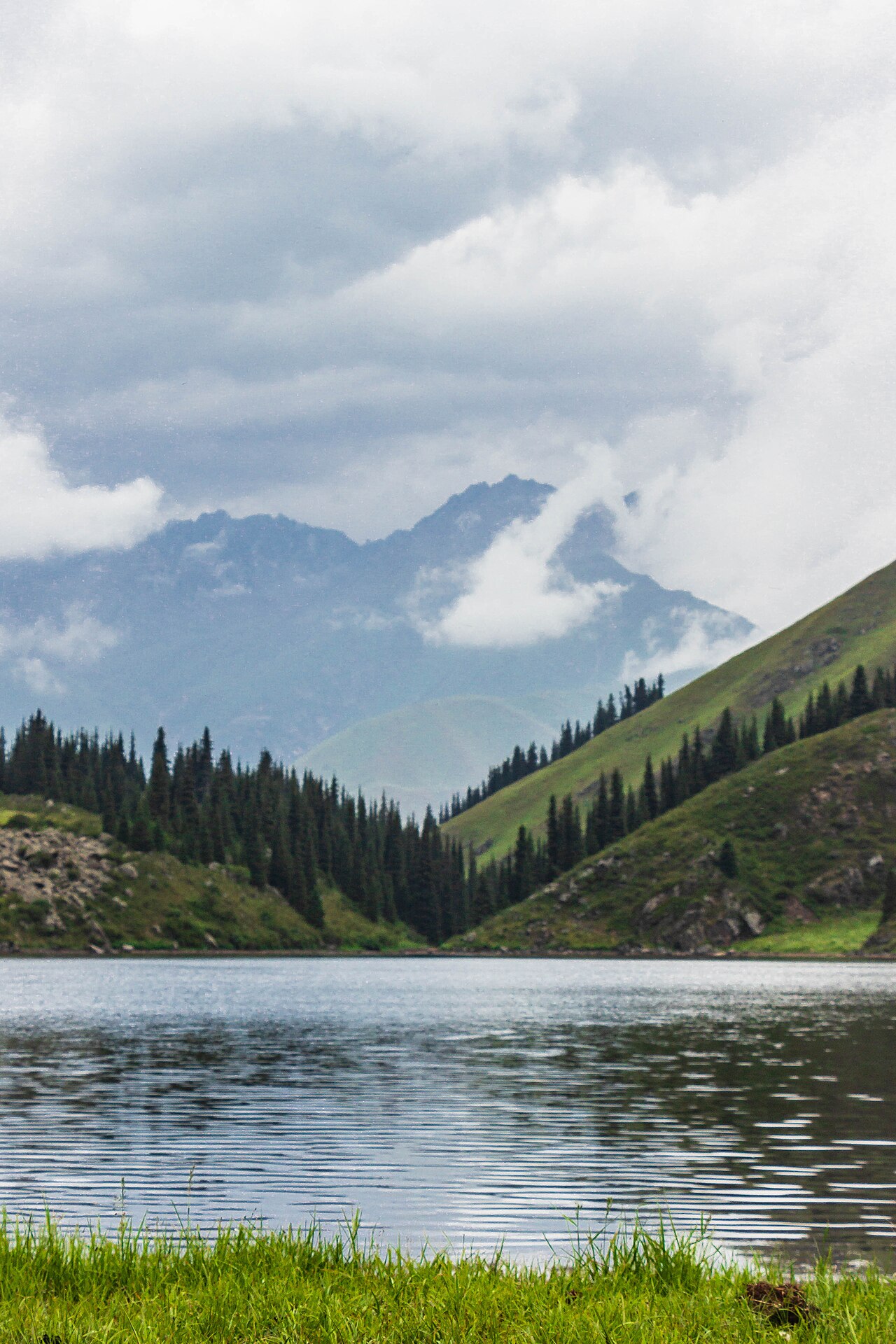
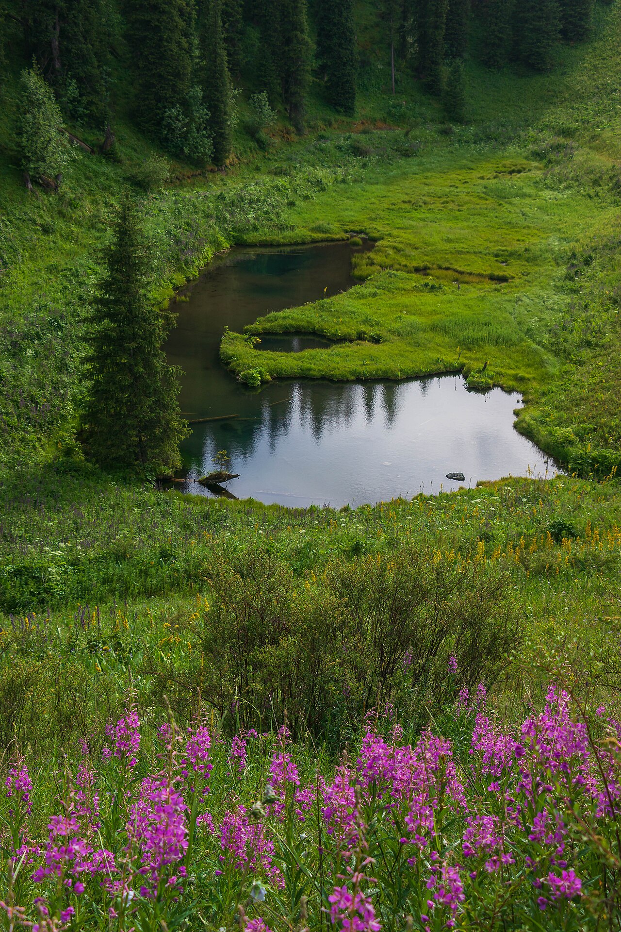
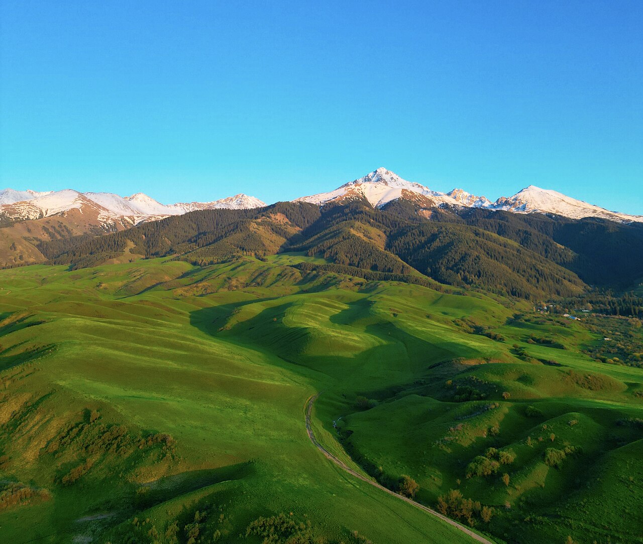
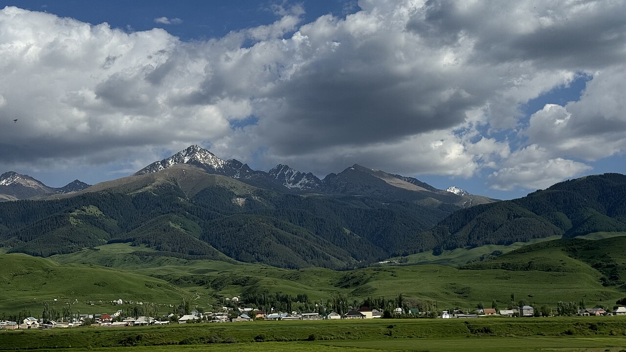
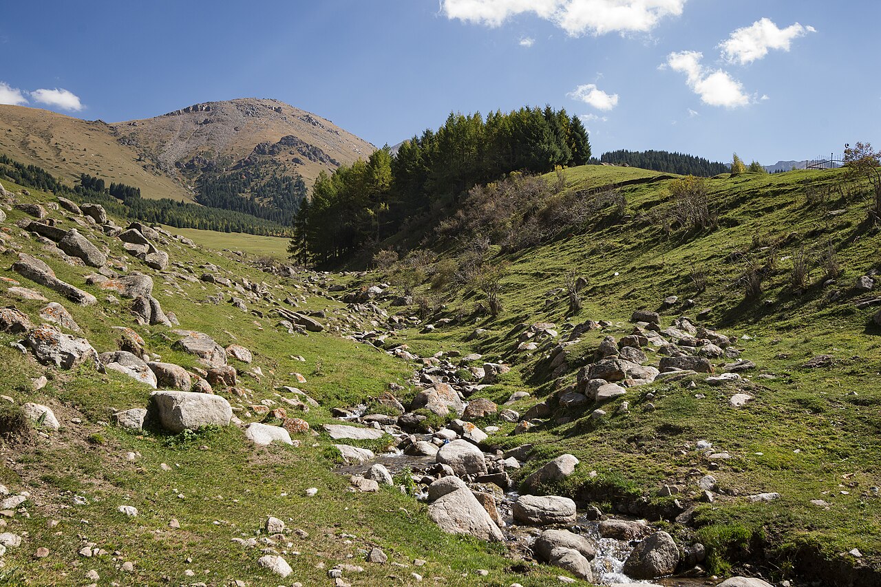
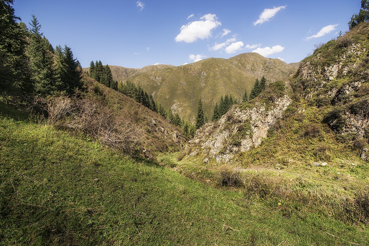
A regional landscape for context; it does not identify every section of the track.
10 photos · select to enlarge
Photographs show named places on this itinerary; they do not document the exact GPX recording.
Photo credits & licences
Photo: Vilya Shoni · CC BY-SA 4.0 · Source · LicensePhoto: Vilya Shoni · CC BY-SA 4.0 · Source · LicensePhoto: Georgeorgeorge · CC BY-SA 4.0 · Source · LicensePhoto: Skitaliiz · CC BY-SA 4.0 · Source · LicensePhoto: Kanatov Adilet · CC BY-SA 4.0 · Source · LicensePhoto: Kanatov Adilet · CC BY-SA 4.0 · Source · LicensePhoto: Arzybek Mallabaev · CC BY-SA 4.0 · Source · LicensePhoto: Arzybek Mallabaev · CC BY-SA 4.0 · Source · LicensePhoto: Vilya Shoni · CC BY-SA 4.0 · Source · LicensePhoto: Vilya Shoni · CC BY-SA 4.0 · Source · LicenseCurrent trail conditions
There are no published condition reports for this route yet.
Travelled this route or spotted an error?
Discussion
Start a conversation about the route, preparation or your experience. Comments are moderated.


Leave a comment