ROUTE OVERVIEW
At a glance
Route and stops
Planning your visit
<p>Chon-Kemin makes a useful short journey when the aim is to spend time in a valley rather than collect distant viewpoints. The village setting, river country and surrounding slopes support a slower programme with a night under a roof. Local CBT services arrange walking and horse outings; the chosen guesthouse gives the driving stage a concrete destination.</p>
<p>Leave Bishkek along the Chuy corridor, using Tokmok for an ordinary break and any remaining supplies. Continue to the Shabdan/Kalmak-Ashuu area only after the host has confirmed the actual address and arrival instructions. Ashu is one established accommodation example, not an obligation to book that property. A national-park marker farther up the valley should not replace the address of your lodging.</p>
<p>Spend the first afternoon settling in and taking a short walk agreed with the host. On the second day, choose one activity and discuss its length, guide, equipment and return point. Horse riding requires a suitable animal, briefing and properly fitted protective equipment; simply being in a pastoral valley does not establish riding experience.</p>
<p>Book dinner and breakfast in advance if you want to avoid searching for food after arrival. Confirm room heating, bathroom arrangements and luggage storage for your dates rather than assuming all rural properties offer the same facilities. Overnighting also creates room to change the next day’s plan if rain arrives.</p>
<p>The intercity approach follows established roads, while village lanes and activity transfers vary. Upper pastures, Kol-Kogur and crossings towards Issyk-Kul are separate mountain itineraries. Return by the confirmed road instead of following an appealing track across working fields or into the upper valley.</p>
Confirmed guesthouse entrance in the Shabdan/Kalmak-Ashuu area; no drive to the upper-valley national-park representative pin. Ashu is one possible base, not a mandatory booking.
City reference only: choose a real accommodation pickup/parking point, not the centre pin.
Town reference for supplies/food/accommodation; select a legal parking or property entrance separately.
One optional accommodation base; confirm booking and the exact Shabdan/Kalmak-Ashuu entrance with the property.
Preparation and equipment
Road car to a confirmed guesthouse on a firm approach; high clearance may be useful for separately booked side-road transfers.
Track length: 145.4 km. This distance covers the track shown on the map. Add any approach, return or transfer sections that are outside it.
Is this route for you?
Choose the route after checking the actual start, finish and terrain with a local guide. Mapped geometry alone does not establish technical difficulty. Your group should be comfortable navigating offline and changing plans when conditions deteriorate.
- With children
- Not available
- Dogs
- Check local rules
- Bicycles and pushchairs
- Not available
- Phone coverage
- Do not rely on it
What is nearby?
Chuy Region
Getting there
Confirm the guesthouse entrance in the Shabdan/Kalmak-Ashuu area. Upper national-park access and activities are arranged separately.
Without a car
Confirm transport to the actual trailhead, not just the nearest town. Agree the return pickup point and a latest contact time before leaving mobile coverage.
By car & parking
Ask locally about road access, entry rules and a permitted place to park. Use the line only for its stated mode of travel and exact scope.
What you will find along the way
Chuy Valley approach, village life in Chon-Kemin and a locally agreed walk or horse outing.
- Bishkek 42.8760, 74.6037
- Tokmok 42.8374, 75.2951
- Ashu Guest House 42.7226, 76.0832
Difficult sections & safety
Rain-softened lanes, livestock, uneven side roads and changing mountain weather; do not add a pass crossing to a village stay.
How much time to allow
2 days with one village night. This is an itinerary allowance, not measured driving time; queues, walks and return travel are additional where applicable.
When to go
Late spring to early autumn for a valley-and-walk programme; accommodation and activities outside that period need separate confirmation.
What to bring
- Trail shoes or boots with good grip; layers, sun protection and waterproofs.
- Drinking water, food, a first-aid kit and a headlamp.
- An offline map, downloaded GPX, a charged phone and a power bank.
- An agreed return plan, local contact and a realistic fallback route.
GOOD QUESTIONS
Before you set out
Can I download GPX and KML?
Yes. The downloads above contain this route geometry for an offline navigation app. They do not confirm current conditions.
Has this route been checked recently?
KyrgyzMap has not field-verified this route. The map source and licence are shown below. Look for approved traveller reports and check conditions with local guides.
Can I go with children?
Suitability for children is not confirmed for this exact route. Check terrain, exposure, river crossings and retreat options with a guide before deciding.
How is the elevation profile calculated?
No elevation readings are available for this route. The profile and total ascent remain unfilled.
Photo gallery
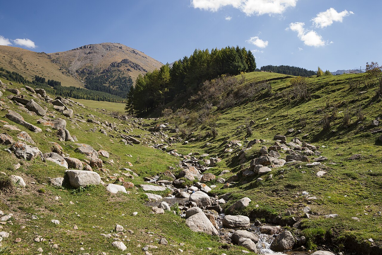
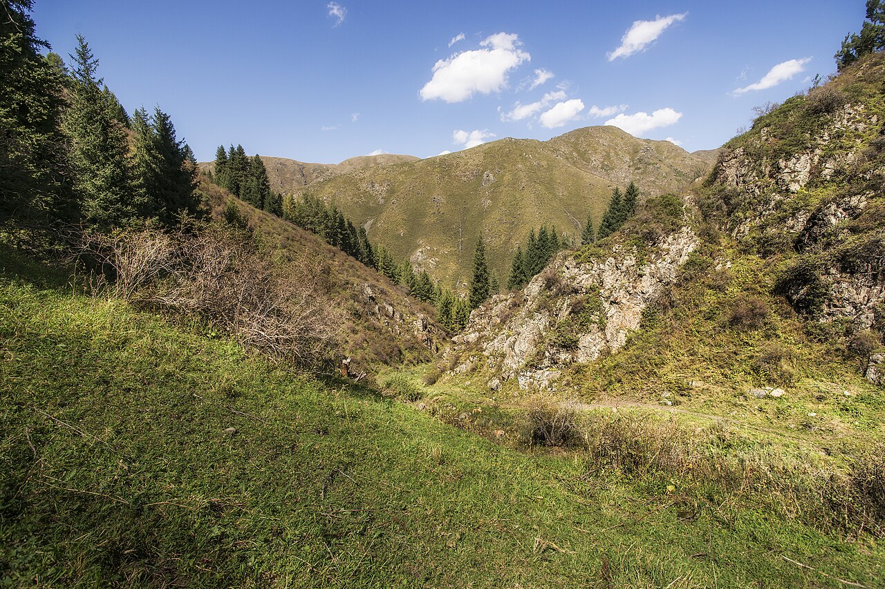
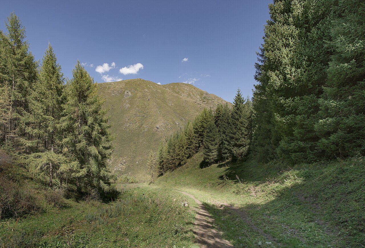
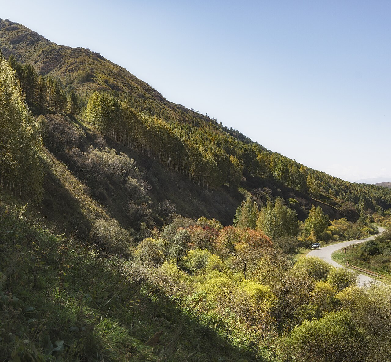
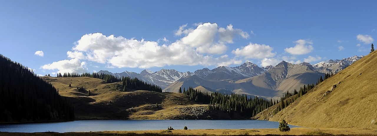
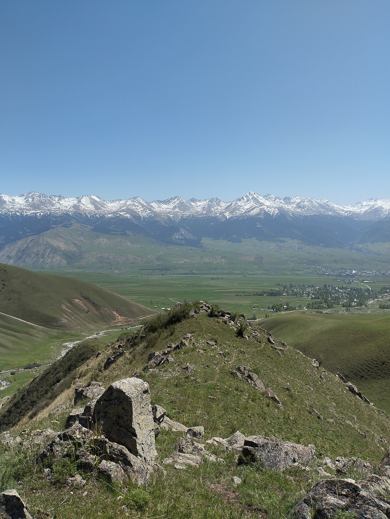
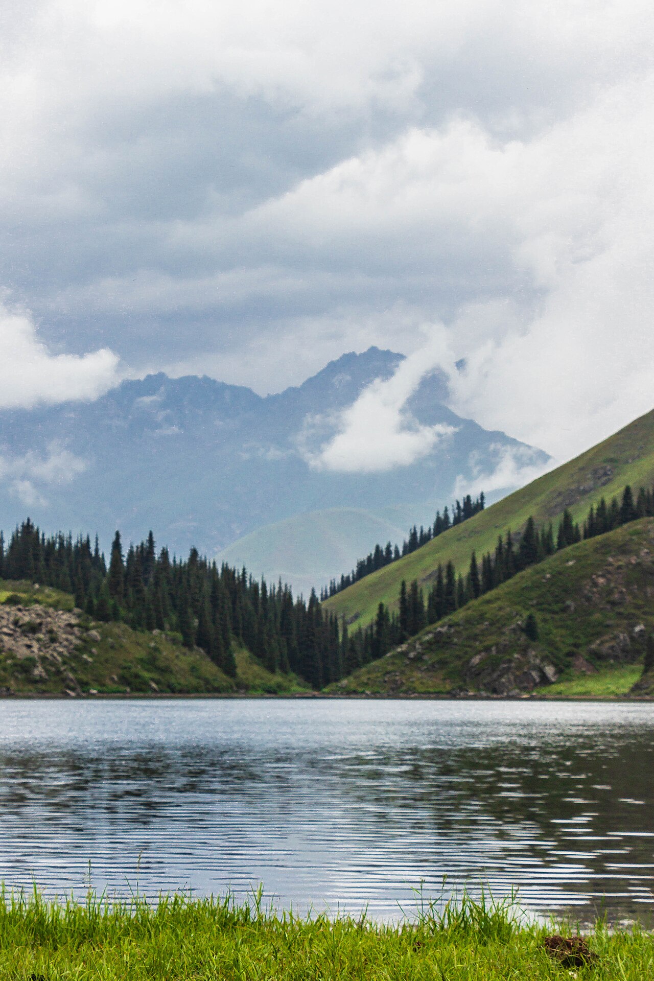
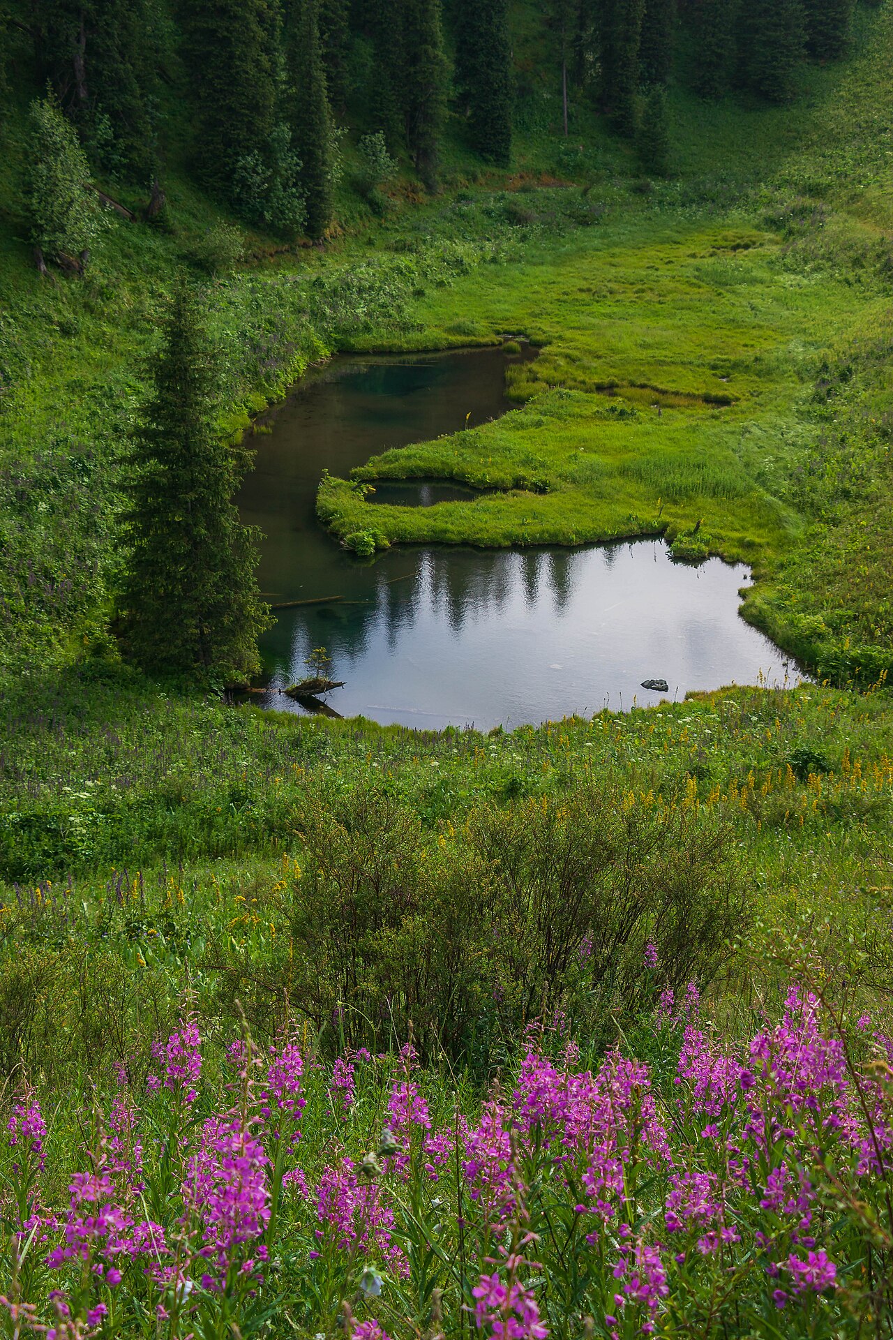
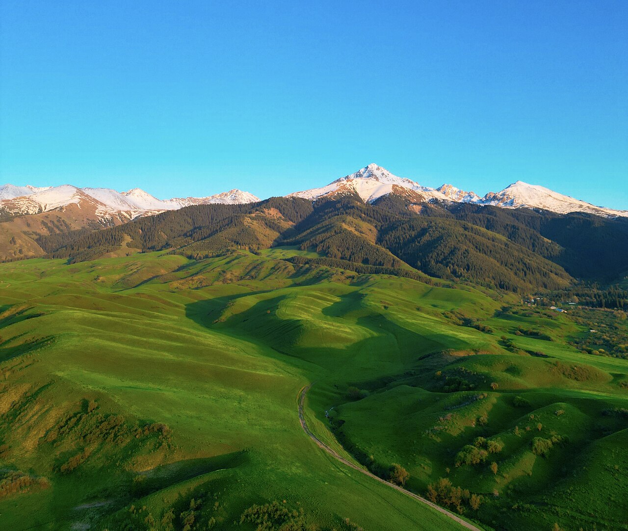
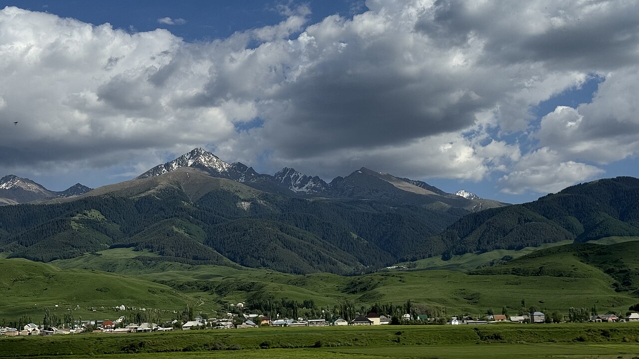
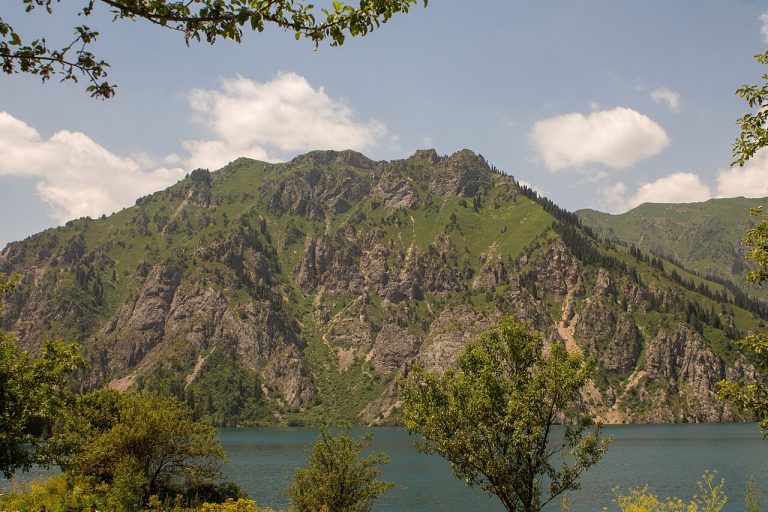
A regional landscape for context; it does not identify every section of the track.
10 photos · select to enlarge
Photographs show named places on this itinerary; they do not document the exact GPX recording.
Photo credits & licences
Photo: Vilya Shoni · CC BY-SA 4.0 · Source · LicensePhoto: Vilya Shoni · CC BY-SA 4.0 · Source · LicensePhoto: Vilya Shoni · CC BY-SA 4.0 · Source · LicensePhoto: Vilya Shoni · CC BY-SA 4.0 · Source · LicensePhoto: Georgeorgeorge · CC BY-SA 4.0 · Source · LicensePhoto: Skitaliiz · CC BY-SA 4.0 · Source · LicensePhoto: Kanatov Adilet · CC BY-SA 4.0 · Source · LicensePhoto: Kanatov Adilet · CC BY-SA 4.0 · Source · LicensePhoto: Arzybek Mallabaev · CC BY-SA 4.0 · Source · LicensePhoto: Arzybek Mallabaev · CC BY-SA 4.0 · Source · LicenseCurrent trail conditions
There are no published condition reports for this route yet.
Travelled this route or spotted an error?
Discussion
Start a conversation about the route, preparation or your experience. Comments are moderated.


Leave a comment