ROUTE OVERVIEW
At a glance
A purposeful ride to Talas
Talas is the destination of this journey, with Otmok forming the transition from the Suusamyr side into the western valley. The ride combines the operating Too-Ashuu tunnel road with the established domestic Talas connection. It does not take a foreign transit shortcut or the old road over the Too-Ashuu summit. That clear outline matters when downloading a route: a shorter-looking line can change both the road and the travel arrangements.
The scenery opens and closes as the road crosses mountain terrain, but this is a touring day with traffic rather than a guaranteed series of empty viewpoints. Use the ride to understand how the valleys connect, saving longer conversations and cultural visits for the overnight in Talas.
Plan the crossings in daylight
Leave Bishkek with the latest road-service and weather information checked. Agree the first rest and overnight before departure, then make a fresh decision about the next crossing when the group is rested. A named pass marker is not automatically a safe stopping place. If there is no proper area clear of traffic, keep moving to the next suitable location.
Continue through Otmok on the current public road and descend towards a confirmed Talas address. Keep speed and spacing suitable for the actual visibility, surface and least experienced rider. The Talas night can be followed by an arranged city or Manas-related visit, but adding western valley sightseeing to the arrival day should depend on time and energy, not a long list of nearby markers.
Check the motorcycle and the rider
Inspect tyres, brakes, lights, final drive and luggage. Carry a puncture solution appropriate to the wheels and enough fuel margin for a changed stop or delay. Confirm intended refills, meals and assistance rather than inferring them from a map icon. Keep warm and waterproof layers accessible; cold hands and a wet visor affect concentration. Agree regrouping points that do not leave riders waiting on a blind bend.
Overnight and route limits
Verify your licence, insurance, vehicle papers and rental permissions for the intended roads. Book secure motorcycle parking and a room where wet gear can be managed. The return is another mountain journey, not an automatic extension after a busy sightseeing day. Kara-Buura and other off-road passes remain outside this plan. If weather changes, adjust the overnight or postpone a crossing instead of following the original schedule simply because the accommodation was booked.
Preparation and equipment
Well-maintained road-touring/adventure motorcycle, suitable tyres and mountain-road experience; keep the luggage load manageable.
Track length: 292.6 km. This distance covers the track shown on the map. Add any approach, return or transfer sections that are outside it.
Is this route for you?
Choose the route after checking the actual start, finish and terrain with a local guide. Mapped geometry alone does not establish technical difficulty. Your group should be comfortable navigating offline and changing plans when conditions deteriorate.
- With children
- Not available
- Dogs
- Check local rules
- Bicycles and pushchairs
- Not available
- Phone coverage
- Do not rely on it
What is nearby?
Chuy and Talas Regions
Getting there
Operating domestic highway via the Too-Ashuu tunnel and Otmok to confirmed Talas lodging; no foreign transit or off-road-pass shortcut. Operating Too-Ashuu tunnel road, then the domestic Suusamyr–Otmok–Talas highway. Verify Otmok road snap. No Kazakhstan shortcut, old Too-Ashuu summit road, Kara-Buura or off-road pass added.
Without a car
Confirm transport to the actual trailhead, not just the nearest town. Agree the return pickup point and a latest contact time before leaving mobile coverage.
By car & parking
Ask locally about road access, entry rules and a permitted place to park. Use the line only for its stated mode of travel and exact scope.
What you will find along the way
Too-Ashuu operating-road scenery, the Suusamyr–Otmok transition and Talas valley arrival.
- Bishkek 42.8760, 74.6037
- Otmok Pass 42.2797, 73.1778
- Talas City 42.5227, 72.2407
Difficult sections & safety
Snow/ice, sudden weather, traffic, tunnel visibility, long descents, cold hands and fatigue. Current pass opening is not guaranteed.
How much time to allow
2 days one way or a longer return outing. Programme allowance, not measured driving time; museum visits, walks, queues, weather and separately described return stages require their own margin.
When to go
June–September planning window with fresh weather and road checks; no calendar-based promise of open passes.
What to bring
- Trail shoes or boots with good grip; layers, sun protection and waterproofs.
- Drinking water, food, a first-aid kit and a headlamp.
- An offline map, downloaded GPX, a charged phone and a power bank.
- An agreed return plan, local contact and a realistic fallback route.
GOOD QUESTIONS
Before you set out
Can I download GPX and KML?
Yes. The downloads above contain this route geometry for an offline navigation app. They do not confirm current conditions.
Has this route been checked recently?
KyrgyzMap has not field-verified this route. The map source and licence are shown below. Look for approved traveller reports and check conditions with local guides.
Can I go with children?
Suitability for children is not confirmed for this exact route. Check terrain, exposure, river crossings and retreat options with a guide before deciding.
How is the elevation profile calculated?
No elevation readings are available for this route. The profile and total ascent remain unfilled.
Photo gallery
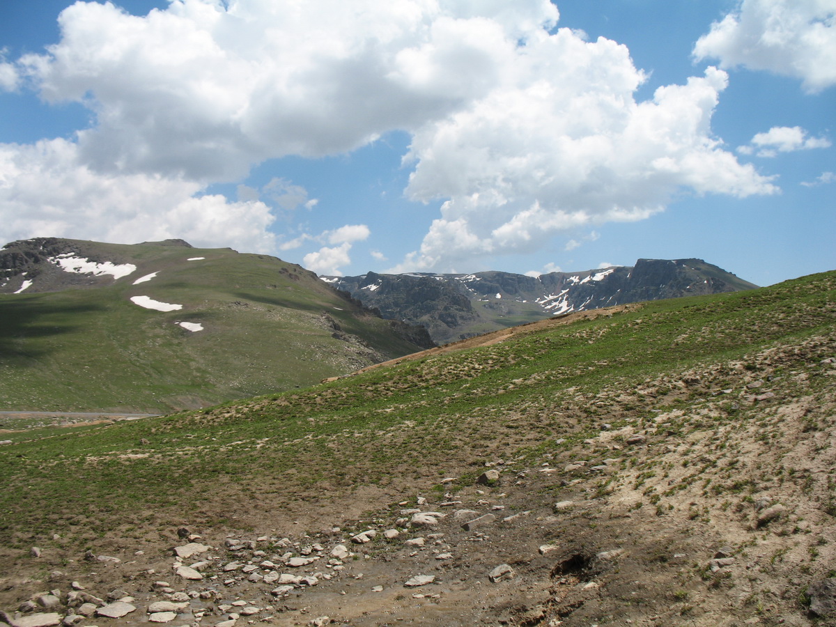
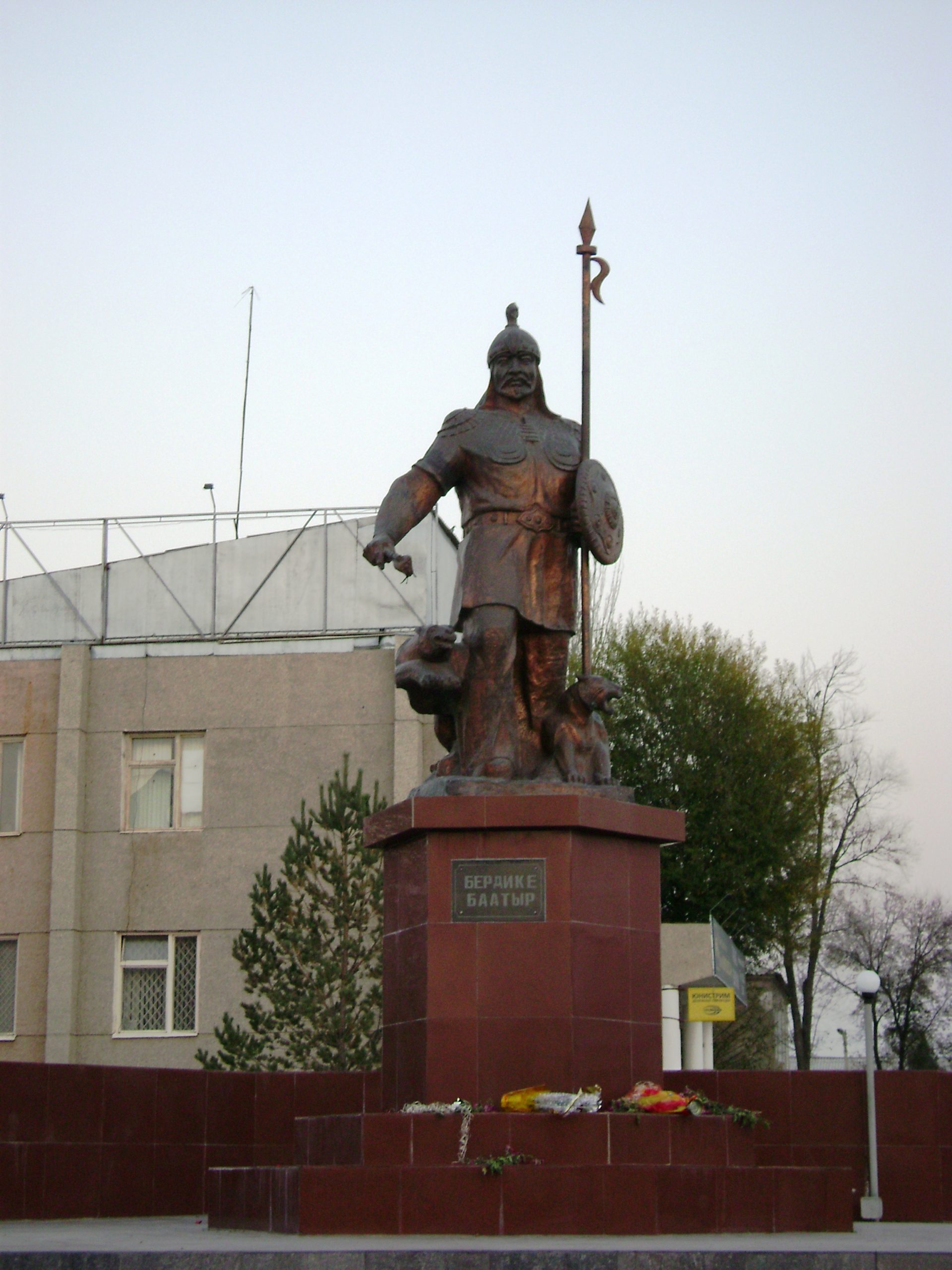
A regional landscape for context; it does not identify every section of the track.
2 photos · select to enlarge
Photographs show named places on this itinerary; they do not document the exact GPX recording.
Photo credits & licences
Photo: Владимир Колбинцев / Vladimir Kolbintsev · Copyright retained; source credited; no open licence stated · Source · LicensePhoto: Nomad’s Land; individual photographer not stated · Copyright retained; source credited; no open licence stated · SourceCurrent trail conditions
There are no published condition reports for this route yet.
Travelled this route or spotted an error?
Discussion
Start a conversation about the route, preparation or your experience. Comments are moderated.


Leave a comment