Mountains & trekking
Alay Valley
The Alay Valley is a broad high-altitude corridor between major mountain ranges, with long views towards the Pamir peaks.
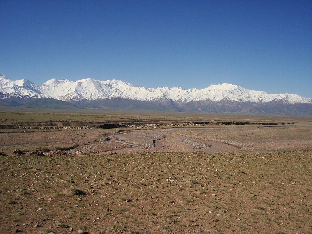 Photo: Thermokarst · Public domain · Source
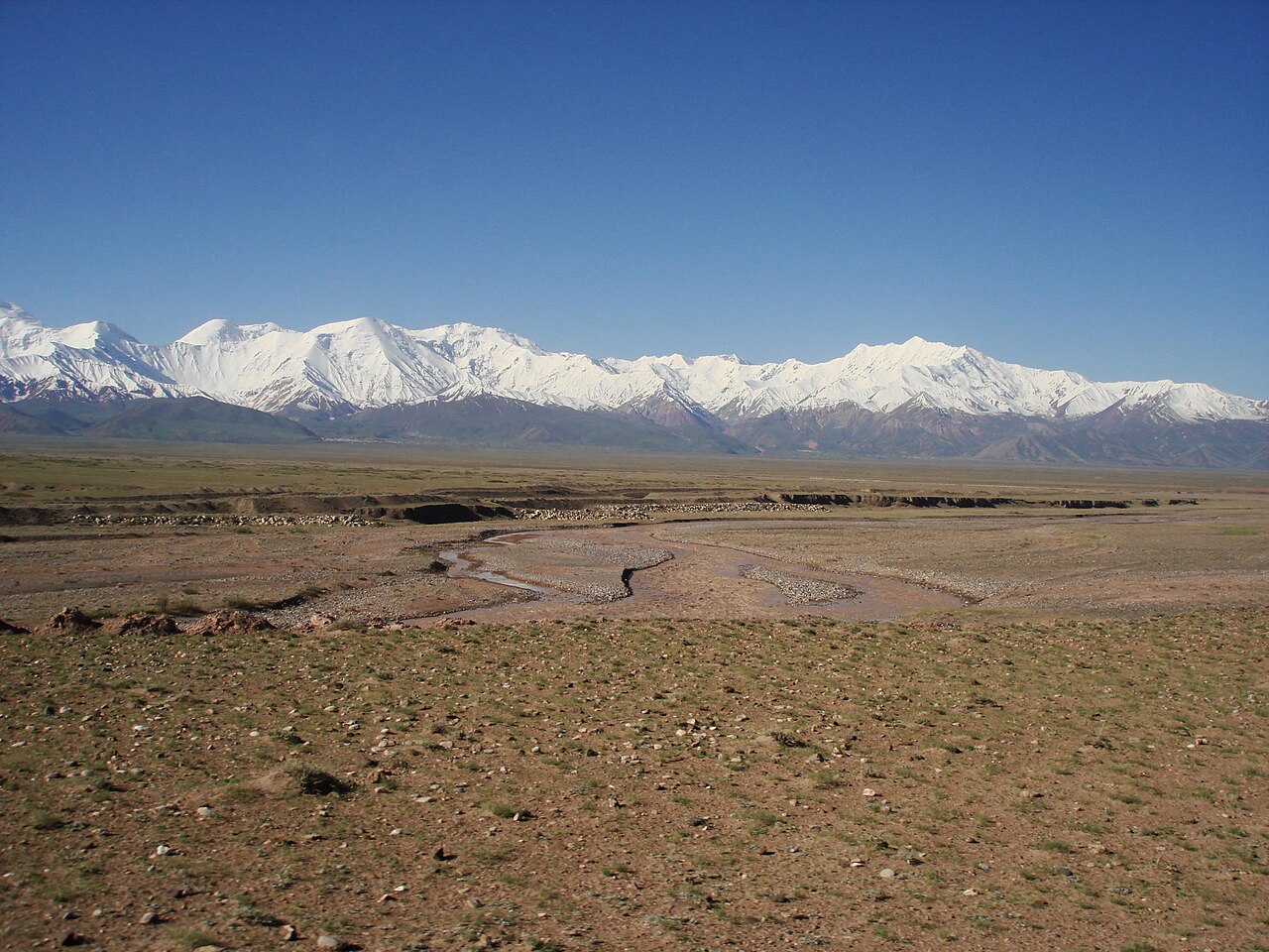
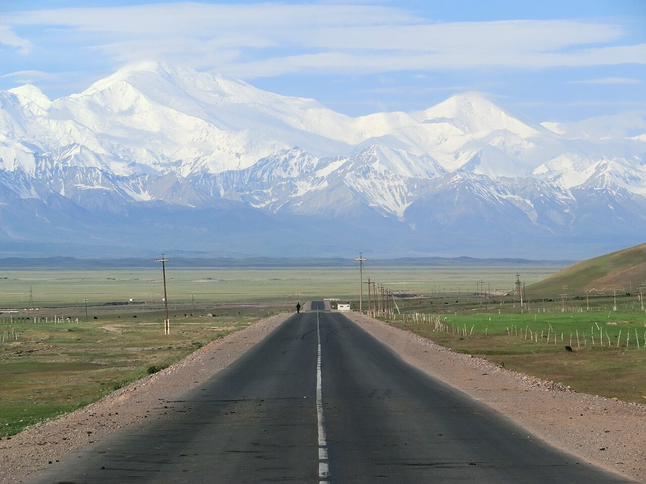
The Alay Valley is a broad high-altitude corridor between major mountain ranges, with long views towards the Pamir peaks. It is a landscape to travel through slowly, using villages as bases for walks, horse rides and onward routes. The eastern and western parts belong to different local administrative districts, and Chon-Alay should not be confused with Alay District. Choose a specific base such as Sary-Mogol when planning activities. Altitude, wind and distances are significant even where the valley looks open and easy, while higher routes require additional preparation and sometimes border permissions.
Plan your visit
Getting there
High mountain road access; plan activities around a specific village base.
When to visit
June–September; mountain weather and access vary.
Good to know
Confirm local access, opening arrangements and any entry rules before travel. Respect protected sites and local communities; leave the place as you found it.
Photo gallery
Location on the map
Location: Alay Valley
39.666667,72.966667