ROUTE OVERVIEW
At a glance
A different approach to Song-Kul
This journey approaches Song-Kul from Kurtka, using a night in the Kaindy-Bulak area before the lake. It is a different corridor from the familiar Kyzart–Kilemche approach. CBT Naryn publishes it as a three-day programme with two days on horseback and a final road departure toward Kochkor. That distinction matters when planning luggage, onward travel and the amount of time actually spent riding.
Arrange the Kurtka meeting point with the horse team rather than navigating to the village marker and expecting horses to be waiting. The marker identifies the village area only. Ask how the first morning starts, where large bags go and whether a prior night nearby makes the departure more comfortable.
First stage to Kaindy-Bulak
Use the briefing and a short practice period to make sure the horse, saddle and equipment suit the rider. Tell the guide about your experience with full days outdoors and with walking where a mountain path requires it. Agree the group pace before leaving, particularly when some participants are taking their first multi-day ride.
The first night breaks the approach into a journey rather than a race to the lake. Confirm the actual yurt location, bedding and evening meal. Keep a warm layer, rain protection and a headlamp accessible. If baggage travels separately, pack the day’s necessities where you can reach them without asking the whole group to unpack a load.
Continue to the lake
The next stage reaches the Song-Kul camp chosen by the organiser. Use the day for the changing pasture landscape, taking photographs at safe stops selected with the guide. Do not add a spur simply because a lake panorama appears close on a map; the time needed for the horses and the actual ground may be different from the straight-line impression.
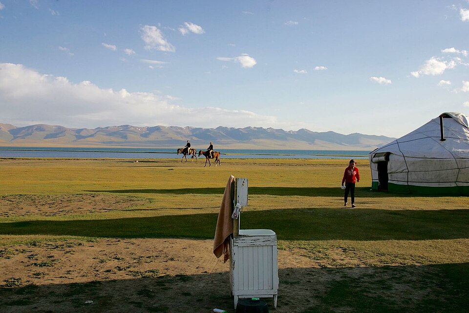
Ask before entering a shepherd family’s living space and agree any visit through the local team. An overnight by the lake is also a chance to rest and prepare the return, not a requirement to fill the evening with extra activities. Confirm the camp’s current operation and the sleeping arrangement rather than relying on a photograph from another summer.
Road departure and map scope
The published third day is a vehicle departure toward Kochkor, not a third horse stage back to Kurtka. Confirm that arrangement directly and decide where the trip should finish for your onward travel. Leave a weather margin before a fixed connection. The map contains the village and lake-area anchors only: no verified horse GPX was located for this variant. It does not locate the Kaindy-Bulak yurt, draw a pass crossing or identify the final lake camp. Your local horse team supplies the actual trail and current decisions.
Preparation and equipment
Locally selected riding horses, an experienced horse guide and separately confirmed baggage and return-vehicle support.
Track length: Not available. This distance covers the track shown on the map. Add any approach, return or transfer sections that are outside it.
Is this route for you?
Choose the route after checking the actual start, finish and terrain with a local guide. Mapped geometry alone does not establish technical difficulty. Your group should be comfortable navigating offline and changing plans when conditions deteriorate.
- With children
- Not available
- Dogs
- Check local rules
- Bicycles and pushchairs
- Not available
- Phone coverage
- Do not rely on it
What is nearby?
Naryn
Getting there
Confirm the Kurtka horse meeting point, the intermediate yurt and the lake pickup toward Kochkor through the local organiser.
Without a car
Confirm transport to the actual trailhead, not just the nearest town. Agree the return pickup point and a latest contact time before leaving mobile coverage.
By car & parking
Ask locally about road access, entry rules and a permitted place to park. Use the line only for its stated mode of travel and exact scope.
What you will find along the way
Kaindy-Bulak pasture country and the approach to Song-Kul’s lake landscape.
- Kurtka village area 41.5735, 75.0196
A point of the supplied route geometry. It does not by itself confirm a parking area, settlement or safe access. Read the access and route notes before planning your visit.
- Song-Kul lake area 41.8500, 75.1500
A point of the supplied route geometry. It does not by itself confirm a parking area, settlement or safe access. Read the access and route notes before planning your visit.
Difficult sections & safety
Mountain weather, prolonged saddle time, seasonal trail changes and uncertainty about exact camp positions.
How much time to allow
Keep horse days and the final vehicle departure separate, with a margin before onward transport.
When to go
Summer pasture and yurt-camp season; confirm dates, snow conditions and overnight operation with the organiser.
What to bring
- Trail shoes or boots with good grip; layers, sun protection and waterproofs.
- Drinking water, food, a first-aid kit and a headlamp.
- An offline map, downloaded GPX, a charged phone and a power bank.
- An agreed return plan, local contact and a realistic fallback route.
GOOD QUESTIONS
Before you set out
Can I download GPX and KML?
No verified track is available for this particular line yet. The page provides a route overview and preparation notes.
Has this route been checked recently?
KyrgyzMap has not field-verified this route. The map source and licence are shown below. Look for approved traveller reports and check conditions with local guides.
Can I go with children?
Suitability for children is not confirmed for this exact route. Check terrain, exposure, river crossings and retreat options with a guide before deciding.
How is the elevation profile calculated?
No elevation readings are available for this route. The profile and total ascent remain unfilled.
Photo gallery
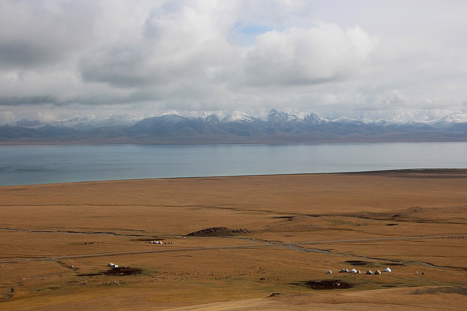
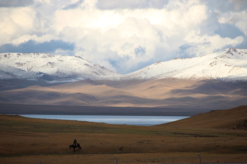
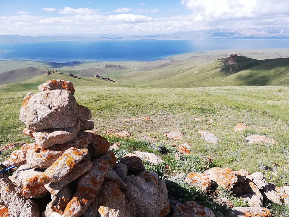
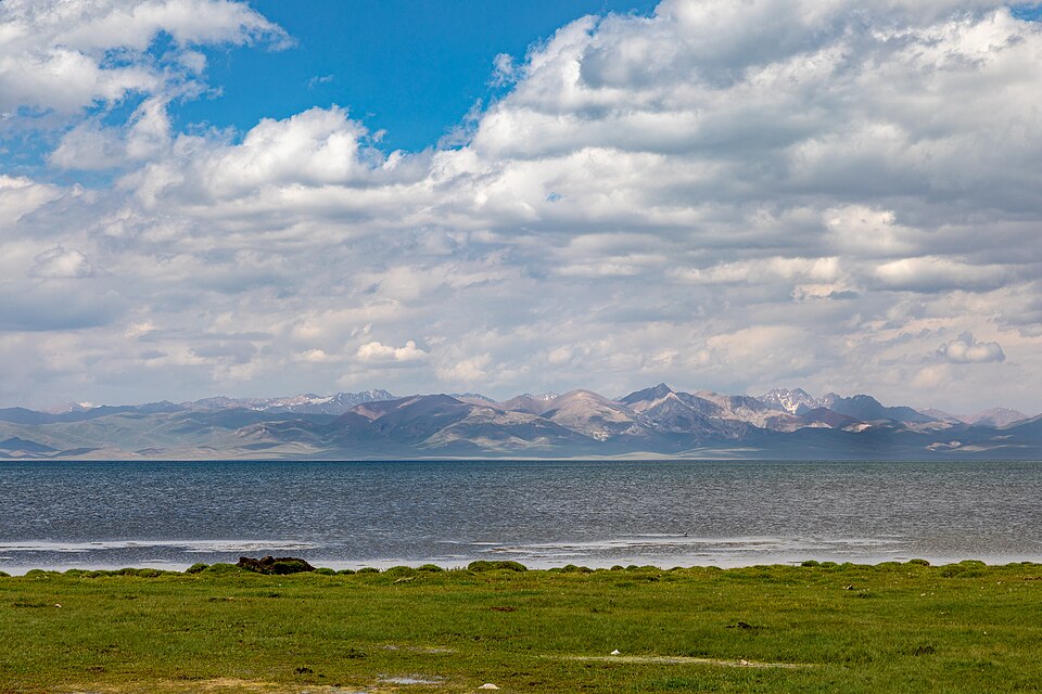
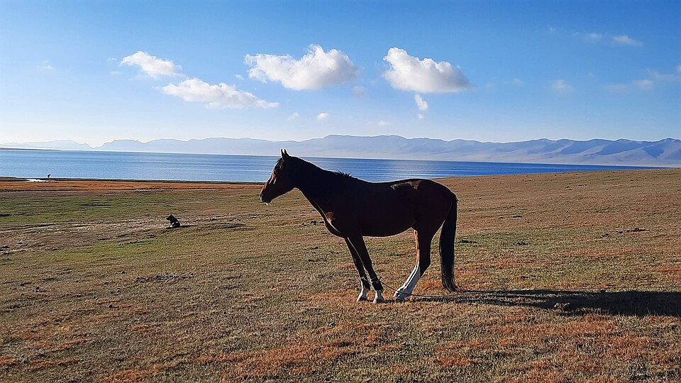
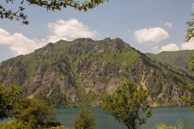
A regional landscape for context; it does not identify every section of the track.
6 photos · select to enlarge
Photographs show named places on this itinerary; they do not document the exact GPX recording.
Photo credits & licences
Photo: Thomas Holbach · CC BY 4.0 · Source · LicensePhoto: Thomas Holbach · CC BY 4.0 · Source · LicensePhoto: David Farell i Garrigós · CC BY-SA 4.0 · Source · LicensePhoto: Ninara from Helsinki, Finland · CC BY 2.0 · Source · LicensePhoto: ElPrismaDeFer - [1] · CC BY 4.0 · Source · LicensePhoto: Kalpak Travel · CC BY 2.0 · Source · LicenseCurrent trail conditions
There are no published condition reports for this route yet.
Travelled this route or spotted an error?
Discussion
Start a conversation about the route, preparation or your experience. Comments are moderated.


Leave a comment