ROUTE OVERVIEW
At a glance
Route and stops
Planning your visit
<p>The journey south from Naryn brings two kinds of Silk Road heritage into the same landscape. Koshoy-Korgon is an earthen fortified site in the At-Bashy valley; Tash Rabat is a stone caravanserai set farther into the mountains. Give each its own visit rather than using the fortress as a quick photograph through the car window.</p>
<p>Start with a night in Naryn, where fuel, supplies and onward arrangements can be settled. Drive towards At-Bashy, then use the confirmed public approach to Koshoy-Korgon. Explore from the ground without climbing fragile walls. Museum access is a separate question, so ask a host or operator to confirm it if an indoor explanation matters to the group.</p>
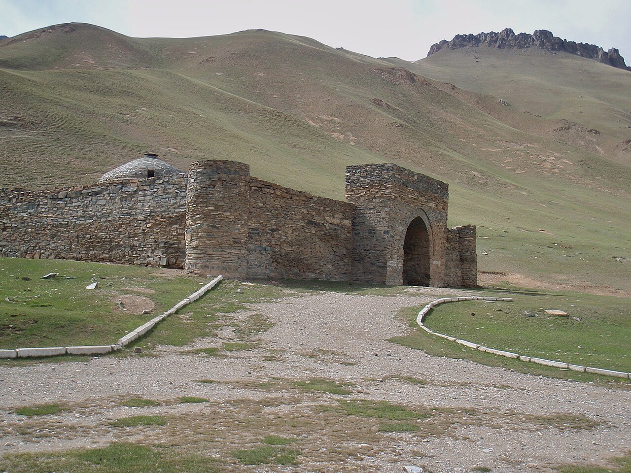
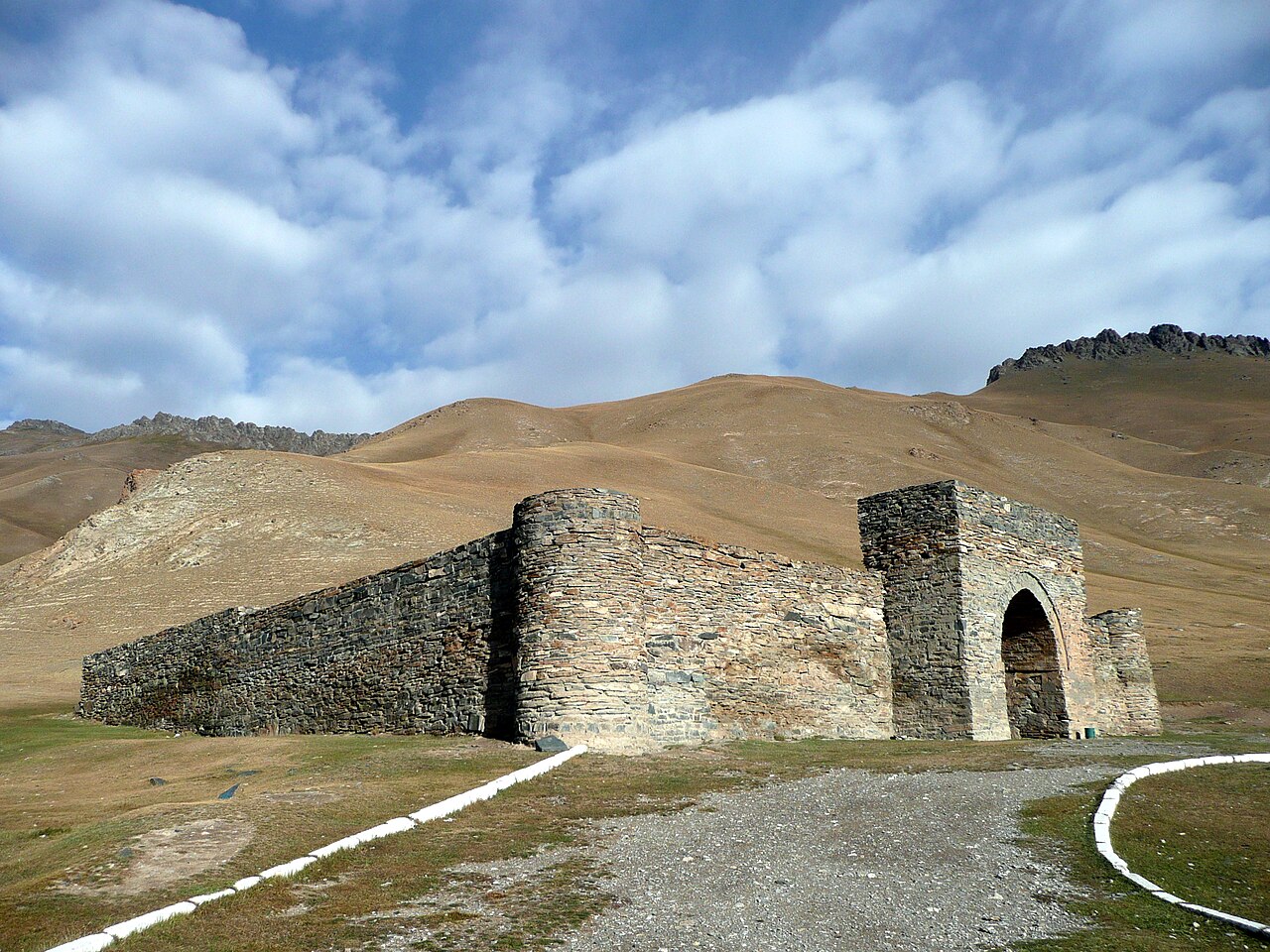
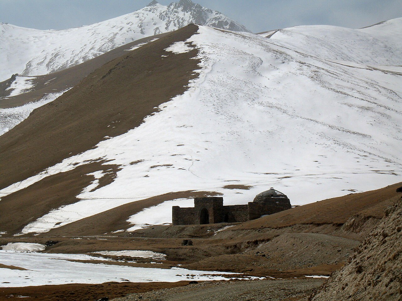
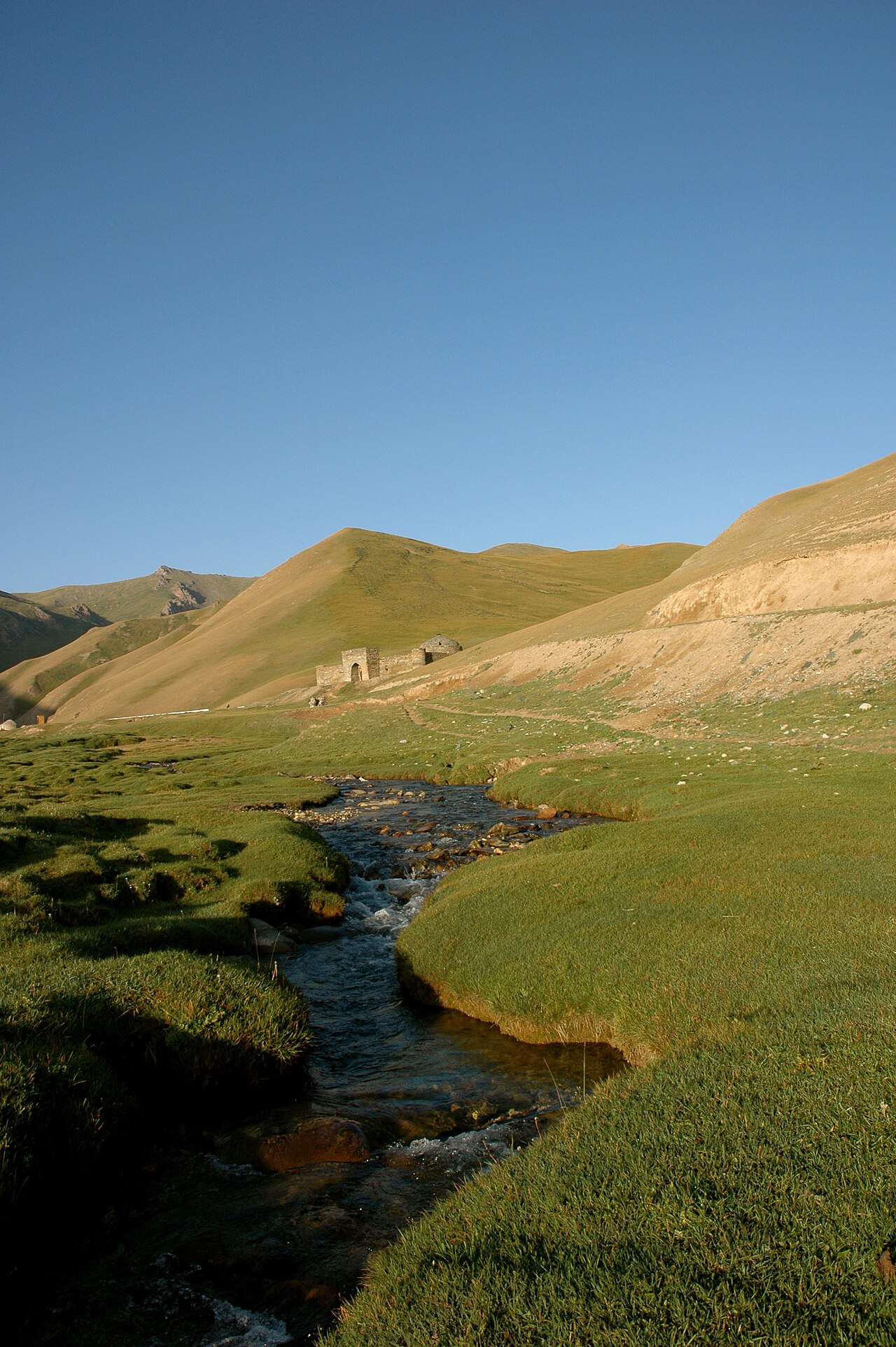
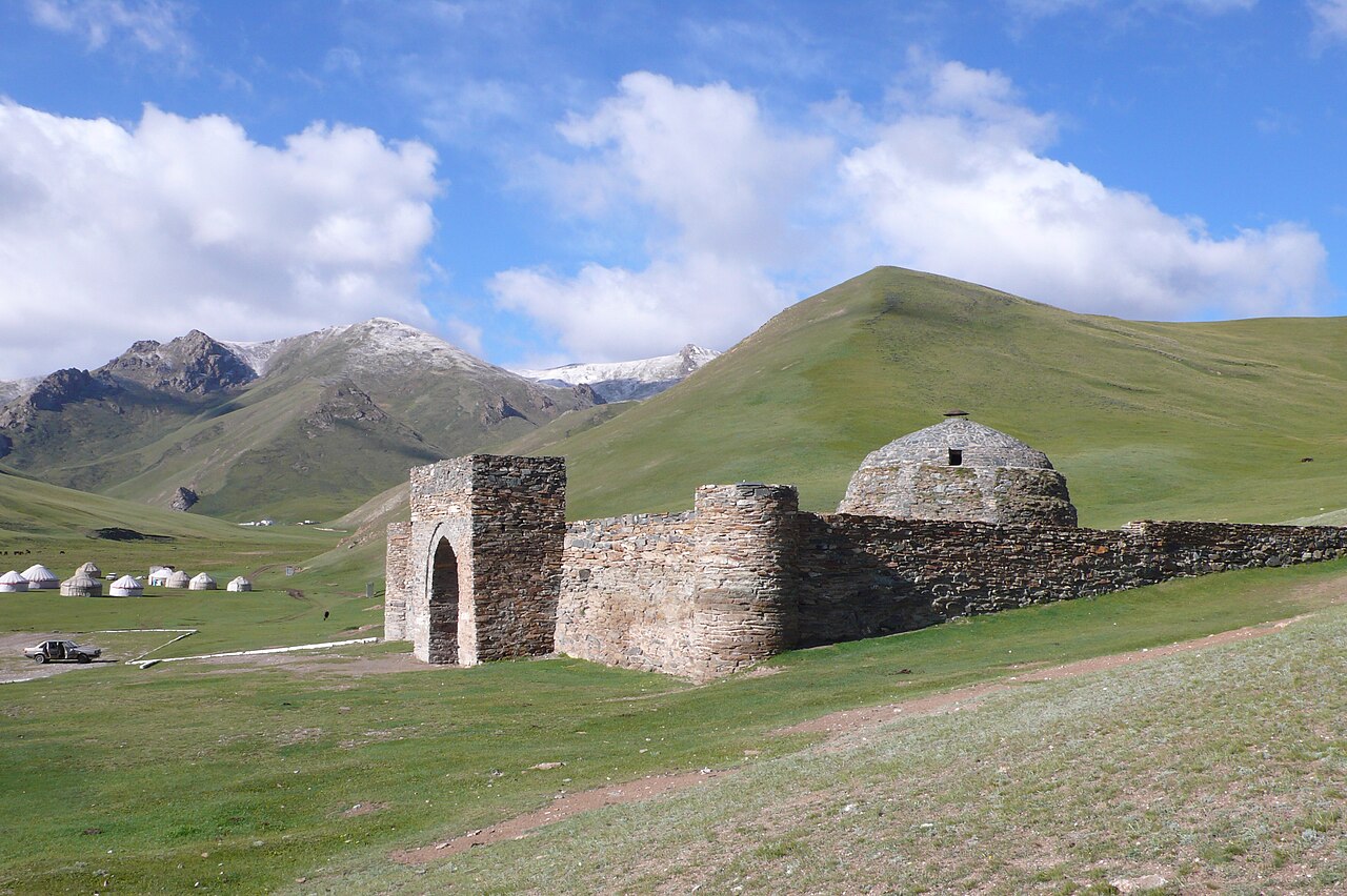
<p>Continue on the established southern road and turn into the Tash Rabat valley. This final approach needs a fresh local report: dry-weather experience in another vehicle does not establish today’s clearance or surface. Stop at a confirmed road parking place or camp approach and walk to the building. Allow time for its stone interior and the surrounding valley, without adding a high pass to the same afternoon.</p>
<p>Local CBT listings describe yurt accommodation near the caravanserai, including a property with a guesthouse option. Confirm opening dates, bedding, heating and meals before leaving Naryn. Nights can be cold even during the tourism season; keep warm clothing accessible rather than buried under luggage.</p>
<p>Return by the same confirmed road or continue only under a separately checked itinerary. Torugart, Chatyr-Kul and border-area excursions are outside this plan and may introduce different permissions and logistics. Two days can cover the core visit; a third creates a more relaxed return and a buffer for weather.</p>
Confirmed valley road parking/yurt-camp approach below Tash Rabat; walk to the historic building. Do not continue towards Torugart or Chatyr-Kul as part of this plan.
Choose an actual accommodation/meeting point in Naryn; town marker is a reference only.
Town stop for supplies and route advice; use public roads to the chosen parking/meeting point.
Park at the confirmed visitor/museum approach and walk to the remains. Do not drive on or climb fragile earthen walls.
Final valley road is conditional on current conditions. End at agreed road parking or camp approach, then walk to the historic structure.
Preparation and equipment
High-clearance vehicle is a prudent choice for the final approach; use a local driver/transfer if the condition is uncertain. Sedan access is not promised.
Track length: 125.2 km. This distance covers the track shown on the map. Add any approach, return or transfer sections that are outside it.
Is this route for you?
Choose the route after checking the actual start, finish and terrain with a local guide. Mapped geometry alone does not establish technical difficulty. Your group should be comfortable navigating offline and changing plans when conditions deteriorate.
- With children
- Not available
- Dogs
- Check local rules
- Bicycles and pushchairs
- Not available
- Phone coverage
- Do not rely on it
What is nearby?
Naryn Region
Getting there
Confirm the final valley road with Naryn/At-Bashy hosts. Park at a legal camp/road approach and walk to both historic sites; border extensions excluded.
Without a car
Confirm transport to the actual trailhead, not just the nearest town. Agree the return pickup point and a latest contact time before leaving mobile coverage.
By car & parking
Ask locally about road access, entry rules and a permitted place to park. Use the line only for its stated mode of travel and exact scope.
Difficult sections & safety
Cold nights, snow, muddy/rutted approaches, limited supplies and fragile earthen walls. Do not infer access permissions for nearby border destinations.
How much time to allow
2 days with one valley night; allow a third day for a relaxed return. This is an itinerary allowance, not measured driving time; queues, walks and return travel are additional where applicable.
When to go
June–September for a camp-based plan, subject to snow and confirmed camp opening.
What to bring
- Trail shoes or boots with good grip; layers, sun protection and waterproofs.
- Drinking water, food, a first-aid kit and a headlamp.
- An offline map, downloaded GPX, a charged phone and a power bank.
- An agreed return plan, local contact and a realistic fallback route.
GOOD QUESTIONS
Before you set out
Can I download GPX and KML?
Yes. The downloads above contain this route geometry for an offline navigation app. They do not confirm current conditions.
Has this route been checked recently?
KyrgyzMap has not field-verified this route. The map source and licence are shown below. Look for approved traveller reports and check conditions with local guides.
Can I go with children?
Suitability for children is not confirmed for this exact route. Check terrain, exposure, river crossings and retreat options with a guide before deciding.
How is the elevation profile calculated?
No elevation readings are available for this route. The profile and total ascent remain unfilled.
Photo gallery
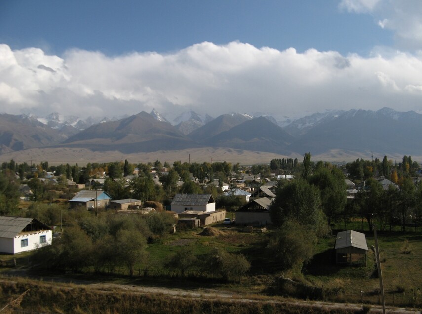
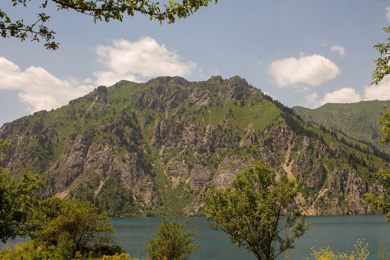
A regional landscape for context; it does not identify every section of the track.
7 photos · select to enlarge
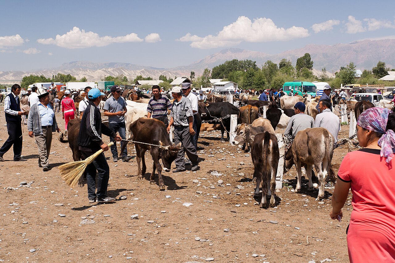
Photographs show named places on this itinerary; they do not document the exact GPX recording.
Photo credits & licences
Photo: Betta27 · Public domain · Source · LicensePhoto: Raki_Man · CC BY 3.0 · Source · LicensePhoto: Ekrem Canli · CC BY-SA 3.0 · Source · LicensePhoto: Martin Jung · CC BY-SA 3.0 · Source · LicensePhoto: Firespeaker · CC BY-SA 3.0 · Source · LicensePhoto: Peter Schepens https://www.flickr.com/photos/kpi/ · CC BY 2.0 · Source · LicensePhoto: WikiTofu · CC BY-SA 3.0 de · Source · LicenseCurrent trail conditions
There are no published condition reports for this route yet.
Travelled this route or spotted an error?
Discussion
Start a conversation about the route, preparation or your experience. Comments are moderated.


Leave a comment