Road pass
Chyiyrchyk Pass
Chyiyrchyk is a road pass south of Osh on the approach towards the Alay region. The regional tourism strategy identifies it as a mountain recreation area on the Pamir road, making it a useful landscape stop between the city and higher valleys.
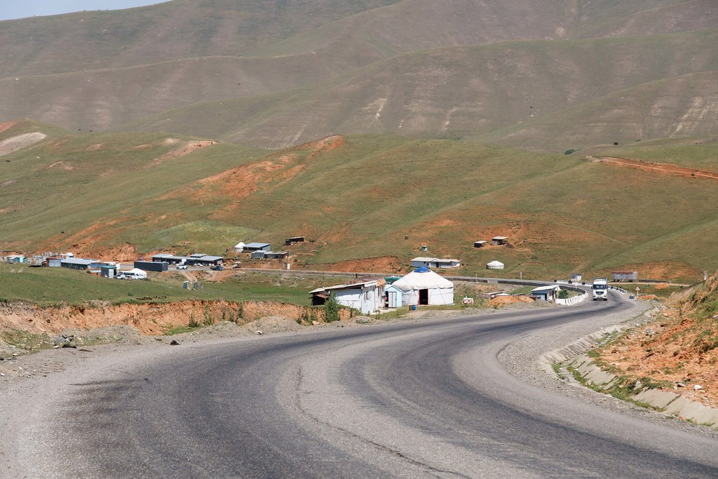 Photo: awvdm8881 / Flickr · Copyright retained; no open licence stated · Source · License
Chyiyrchyk is a road pass south of Osh on the approach towards the Alay region. The regional tourism strategy identifies it as a mountain recreation area on the Pamir road, making it a useful landscape stop between the city and higher valleys.
This page concerns the Osh road pass, not a settlement with a similar name elsewhere in Kyrgyzstan. The mapped pass point marks a geographical crossing; it does not confirm that a particular café, ski installation or recreation business is operating. Stop only where parking is permitted and visibility is good. Road and snow conditions can change independently of the weather in Osh, so check them before a winter or shoulder-season drive.
Public OpenStreetMap feature reference, not a surveyed arrival instruction or access guarantee.
Plan your visit
Getting there
Use the public road with current road advice; the point is a pass, not a trail recommendation.
When to visit
Confirm current conditions and local visiting arrangements before travelling.
Good to know
Confirm local access, opening arrangements and any entry rules before travel. Respect protected sites and local communities; leave the place as you found it.
Sights in and around Chyiyrchyk Pass
Open each place for its description and visit details. Out-of-town stops require a separate journey.
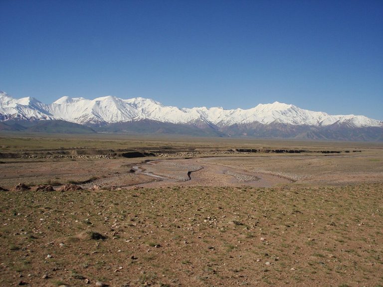
Osh Region
Alay Valley
The Alay Valley is a broad high-altitude corridor between major mountain ranges, with long views towards the Pamir peaks.
Photo gallery
Location on the map
Location: Chyiyrchyk Pass
40.2449282,73.3199905