ROUTE OVERVIEW
At a glance
Route and stops
Use an Arslanbob homestay as your base and arrange the horse guide before your arrival day ends. Sonun Travel’s published southern journey includes a full day of locally guided horse riding and a waterfall visit, returning to the village. This provides evidence for the activity, but it is not a surveyed route that can be followed independently from a line on a screen.
Agree which forest tracks and waterfall area are suitable for the group’s experience. The final approach to a viewing spot may be a walk, so ask where the horses will wait and choose footwear that works on foot as well as in the saddle. Avoid treating every trail visible on a map as a public riding path: local access, seasonal work and weather can affect the day’s choice. Ask before entering gardens or photographing residents at close range.
Planning your visit
Carry a light picnic and water if lunch has not been booked, and confirm when you should be back at the homestay. A relaxed village return leaves room to rest rather than rushing onward transport. Longer high-lake and cross-mountain journeys from Arslanbob require their own guide, equipment and overnight plan. The map shows the forest area only; a precise mounting point, waterfall choice and trail must be supplied by your local horse team.
The map shows location anchors only. No verified horseback GPX was found for this variant, so there is no navigation line or downloadable track. A published riding programme does not establish the precise path; agree it with the local horse guide.
Preparation and equipment
A locally selected riding horse with a horse guide; reserve a helmet and suitable saddle.
Track length: Not available. This distance covers the track shown on the map. Add any approach, return or transfer sections that are outside it.
Is this route for you?
Choose the route after checking the actual start, finish and terrain with a local guide. Mapped geometry alone does not establish technical difficulty. Your group should be comfortable navigating offline and changing plans when conditions deteriorate.
- With children
- Not available
- Dogs
- Check local rules
- Bicycles and pushchairs
- Not available
- Phone coverage
- Do not rely on it
What is nearby?
Jalal-Abad
Getting there
Stay in Arslanbob and book the outing through your host or a local riding provider; confirm the village meeting point.
Without a car
Confirm transport to the actual trailhead, not just the nearest town. Agree the return pickup point and a latest contact time before leaving mobile coverage.
By car & parking
Ask locally about road access, entry rules and a permitted place to park. Use the line only for its stated mode of travel and exact scope.
What you will find along the way
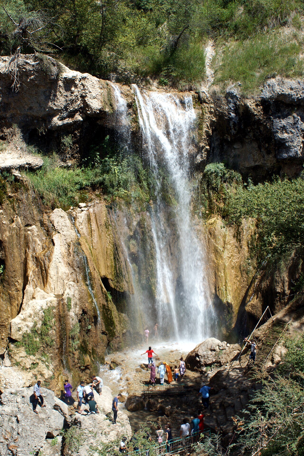
Arslanbob village, walnut-forest scenery and a locally selected waterfall viewpoint.
- Arslanbob forest area 41.3534, 73.0411
A point of the supplied route geometry. It does not by itself confirm a parking area, settlement or safe access. Read the access and route notes before planning your visit.
Difficult sections & safety
Wet forest tracks, roots, steep waterfall approaches and a horse mismatched to the rider. Keep the outing local and guided.
How much time to allow
Allow time for a briefing, a possible walking approach to the waterfall and an unhurried village return.
When to go
Late spring to autumn when local tracks suit the outing; confirm conditions and seasonal forest activity.
What to bring
- Trail shoes or boots with good grip; layers, sun protection and waterproofs.
- Drinking water, food, a first-aid kit and a headlamp.
- An offline map, downloaded GPX, a charged phone and a power bank.
- An agreed return plan, local contact and a realistic fallback route.
GOOD QUESTIONS
Before you set out
Can I download GPX and KML?
No verified track is available for this particular line yet. The page provides a route overview and preparation notes.
Has this route been checked recently?
KyrgyzMap has not field-verified this route. The map source and licence are shown below. Look for approved traveller reports and check conditions with local guides.
Can I go with children?
Suitability for children is not confirmed for this exact route. Check terrain, exposure, river crossings and retreat options with a guide before deciding.
How is the elevation profile calculated?
No elevation readings are available for this route. The profile and total ascent remain unfilled.
Photo gallery
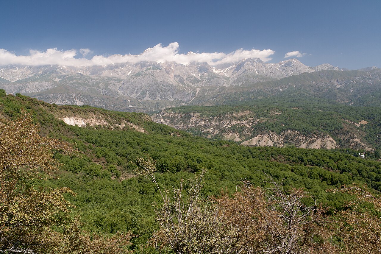
A regional landscape for context; it does not identify every section of the track.
3 photos · select to enlarge
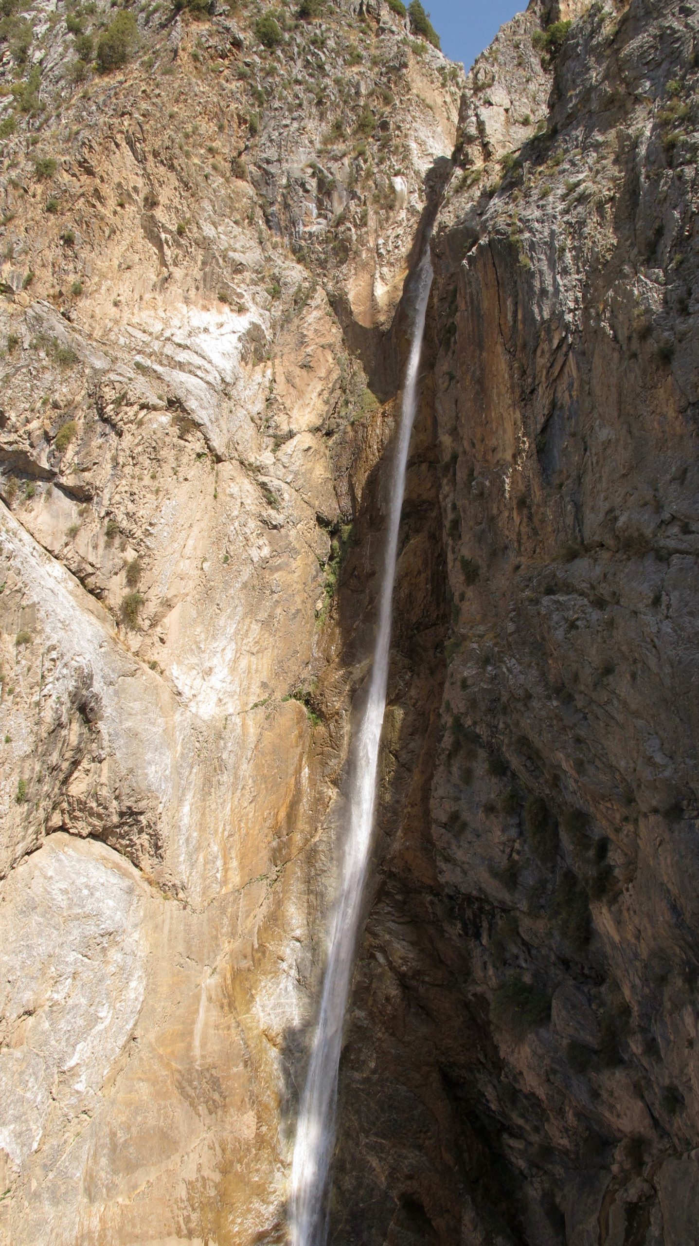
Photographs show named places on this itinerary; they do not document the exact GPX recording.
Photo credits & licences
Photo: Kondephy · CC BY-SA 4.0 · Source · LicensePhoto: Betta27 · CC BY 4.0 · Source · LicensePhoto: Ekrem Canli · CC BY-SA 3.0 · Source · LicenseCurrent trail conditions
There are no published condition reports for this route yet.
Travelled this route or spotted an error?
Discussion
Start a conversation about the route, preparation or your experience. Comments are moderated.


Leave a comment