Route grading
Grade not specified
A formal grade for this walking route has not been established in the catalogue. The category of a complete trek differs from the grade of a pass or a summit ascent.
Grade meanings, skills and equipment ↗
ROUTE OVERVIEW
At a glance
Start at the Small Waterfall
This is a substantial walking day around Arslanbob, linking the Small Waterfall area, forested slopes and higher views before returning towards the village. Start from the Small Waterfall visitor area after confirming which entrance and paths are open. The forest is a working landscape used by local people, not an empty park: stay on the agreed public route and respect gardens, orchards and seasonal collection areas. Before setting off, decide whether the whole day suits the group. A short waterfall visit and the longer forest circuit are different outings, even when they share the same first stop. Arrange accommodation or return transport accordingly.
Move from woodland to the higher slopes
The attraction is the contrast between the inhabited valley, walnut woodland and the mountains above. Take regular pauses to look back and keep enough energy for the descent. The longer variant includes uneven, steep ground and waterfall approaches where a slip has consequences; a dry morning in the village does not guarantee dry rock higher up. Use local advice to choose a safe current line, and do not cut directly between visible landmarks. If anyone is uncomfortable, shorten the day rather than pushing on to complete a nominal loop. Keep food accessible and carry enough treated drinking water; seasonal stalls and natural streams are not a dependable supply plan.
A full day, with navigation arranged
Set aside roughly six to eight hours for a fit walking group, allowing more for stops and slower footing. The published outing is around seventeen kilometres, so calling it a village stroll would underestimate it. Wear grippy walking footwear and bring waterproofs, a warm layer, sun protection and a charged phone with offline mapping. A local guide is useful where roads, forest paths and private boundaries meet. An author-recorded route is identified in the route information, but its file was not available without signing in, so this page shows only a verified starting area. It supplies no substitute navigation line or GPX. Obtain legitimate navigation material and current advice before committing to the full circuit.
Preparation and equipment
On foot with sturdy walking shoes, poles if useful, weather layers, food, treated water and current offline navigation.
Track length: Not available. This distance covers the track shown on the map. Add any approach, return or transfer sections that are outside it.
Is this route for you?
Choose the route after checking the actual start, finish and terrain with a local guide. Mapped geometry alone does not establish technical difficulty. Your group should be comfortable navigating offline and changing plans when conditions deteriorate.
- With children
- Not available
- Dogs
- Check local rules
- Bicycles and pushchairs
- Not available
- Phone coverage
- Do not rely on it
What is nearby?
Jalal-Abad Region
Getting there
Reach the Small Waterfall visitor area from Arslanbob; arrange the precise open path and return logistics locally.
Without a car
Confirm transport to the actual trailhead, not just the nearest town. Agree the return pickup point and a latest contact time before leaving mobile coverage.
By car & parking
Ask locally about road access, entry rules and a permitted place to park. Use the line only for its stated mode of travel and exact scope.
What you will find along the way
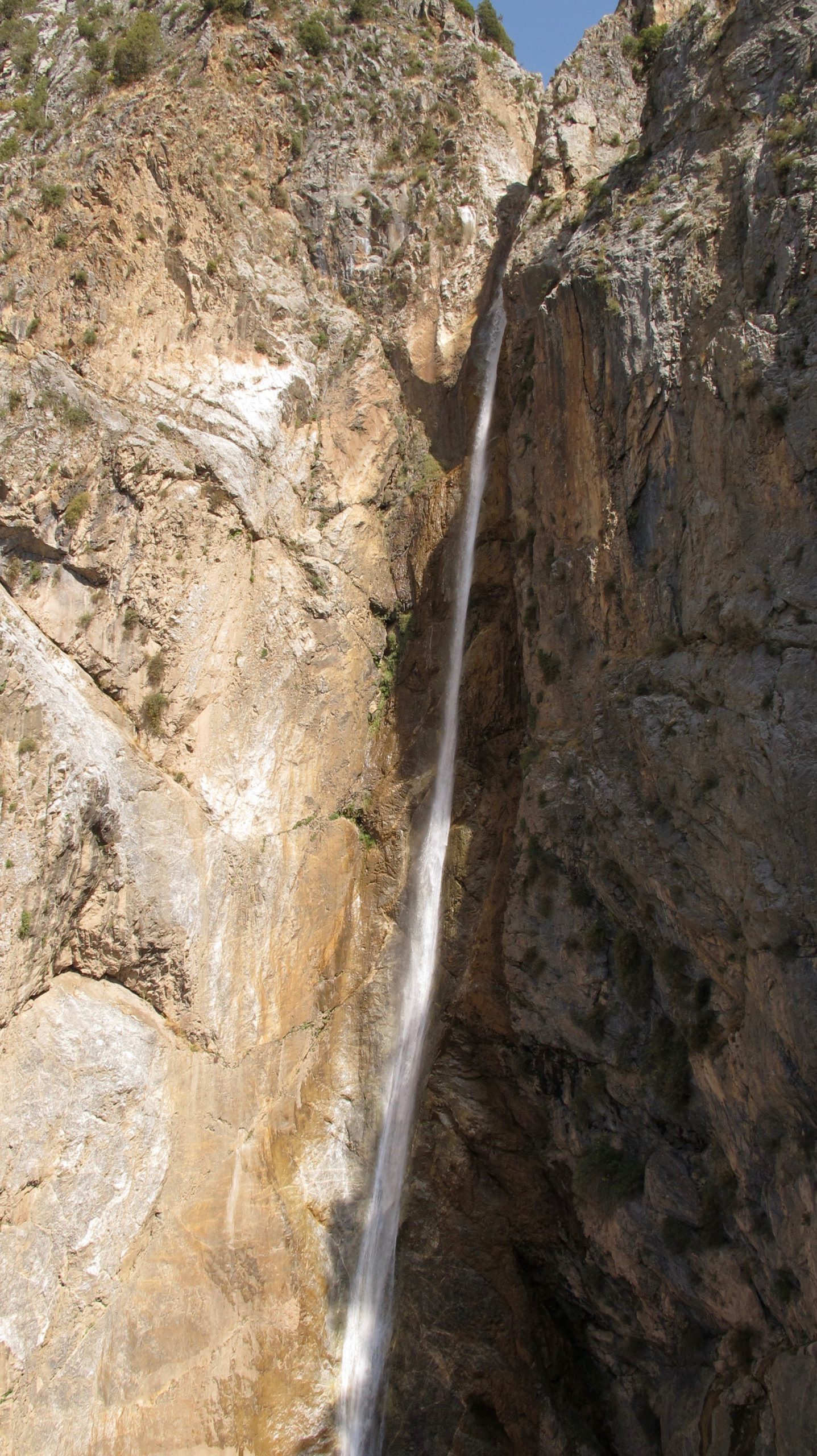
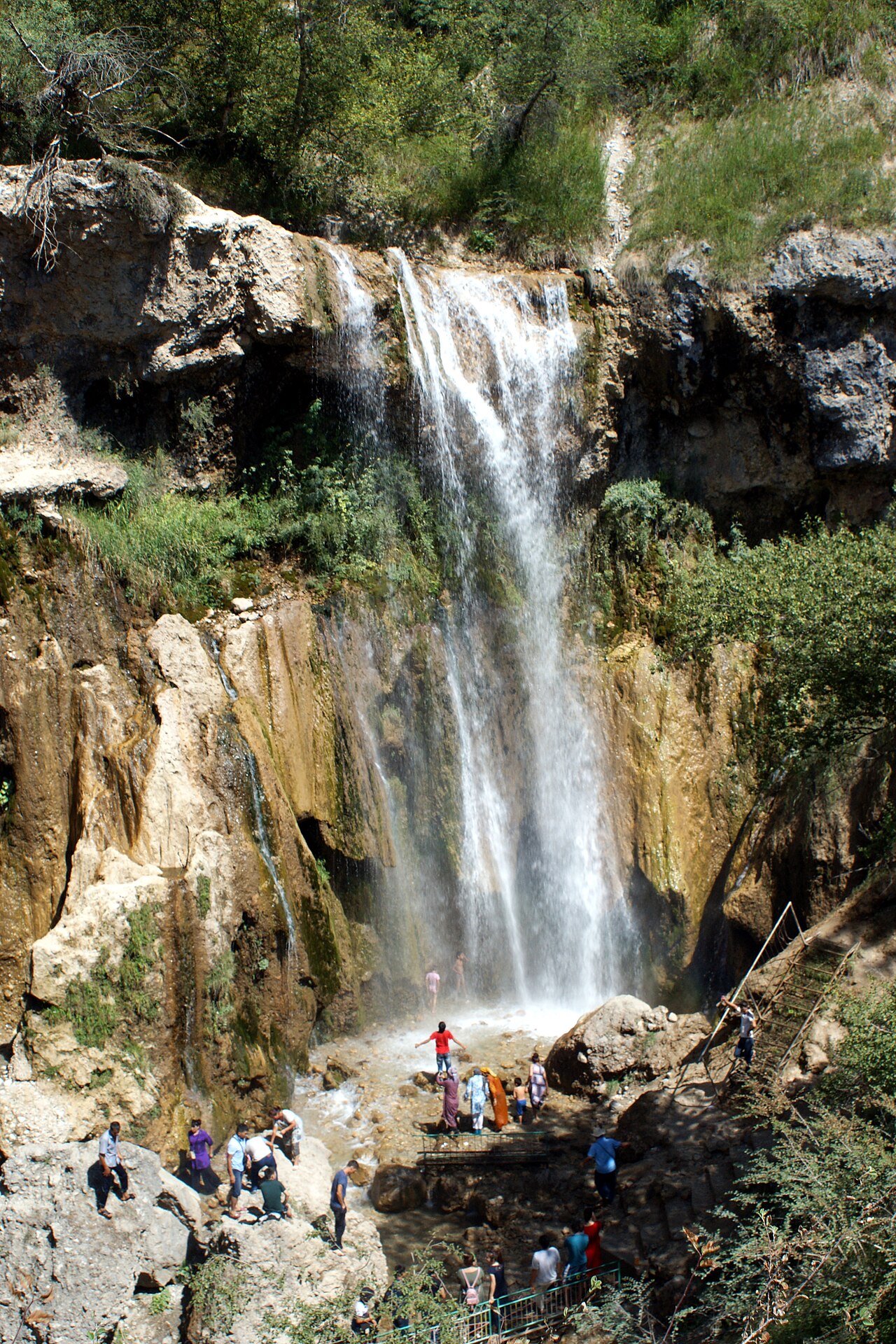
Small Waterfall, walnut woodland, village viewpoints and the higher landscape towards the Long Waterfall.
- Arslanbob Small Waterfall 41.3458, 72.9374
Difficult sections & safety
Steep paths, exposed or loose sections, slippery waterfall approaches, private land and uncertain water supply.
How much time to allow
Start early with a firm turnaround plan; small-waterfall admission and guide availability require local confirmation.
When to go
Usually late spring to early autumn in suitable conditions; check mud, heat and harvest access locally.
What to bring
- Trail shoes or boots with good grip; layers, sun protection and waterproofs.
- Drinking water, food, a first-aid kit and a headlamp.
- An offline map, downloaded GPX, a charged phone and a power bank.
- An agreed return plan, local contact and a realistic fallback route.
GOOD QUESTIONS
Before you set out
Can I download GPX and KML?
No verified track is available for this particular line yet. The page provides a route overview and preparation notes.
Has this route been checked recently?
KyrgyzMap has not field-verified this route. The map source and licence are shown below. Look for approved traveller reports and check conditions with local guides.
Can I go with children?
Suitability for children is not confirmed for this exact route. Check terrain, exposure, river crossings and retreat options with a guide before deciding.
How is the elevation profile calculated?
No elevation readings are available for this route. The profile and total ascent remain unfilled.
Photo gallery
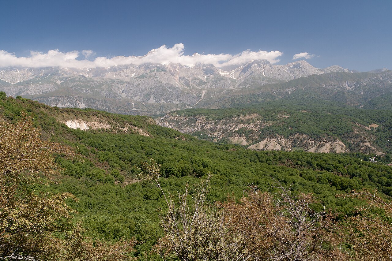
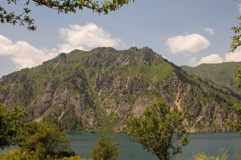
A regional landscape for context; it does not identify every section of the track.
3 photos · select to enlarge
Photographs show named places on this itinerary; they do not document the exact GPX recording.
Photo credits & licences
Photo: Betta27 · CC BY 4.0 · Source · LicensePhoto: Ekrem Canli · CC BY-SA 3.0 · Source · LicensePhoto: Kondephy · CC BY-SA 4.0 · Source · LicenseCurrent trail conditions
There are no published condition reports for this route yet.
Travelled this route or spotted an error?
Discussion
Start a conversation about the route, preparation or your experience. Comments are moderated.


Leave a comment