ROUTE OVERVIEW
At a glance
Route and stops
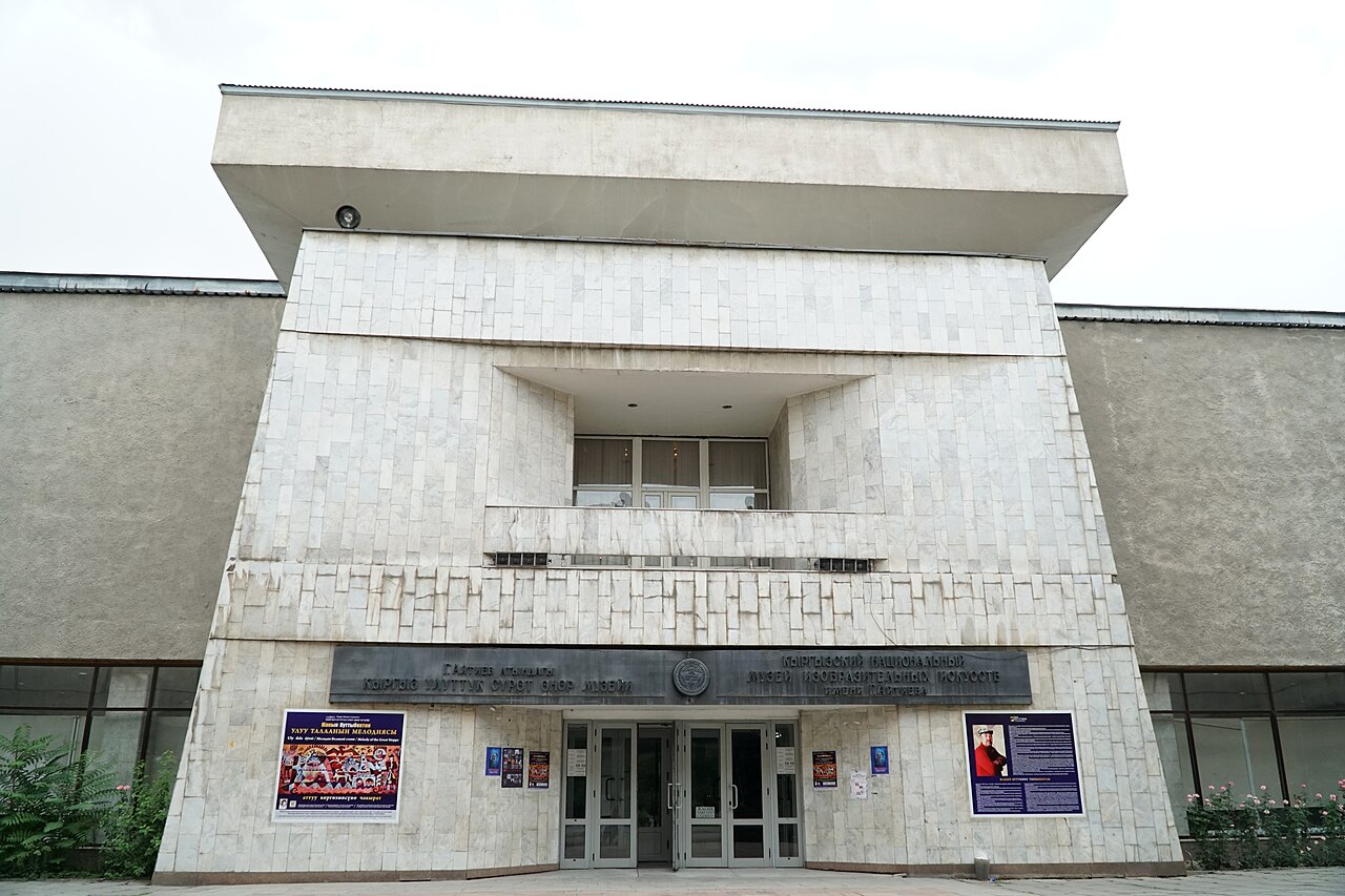
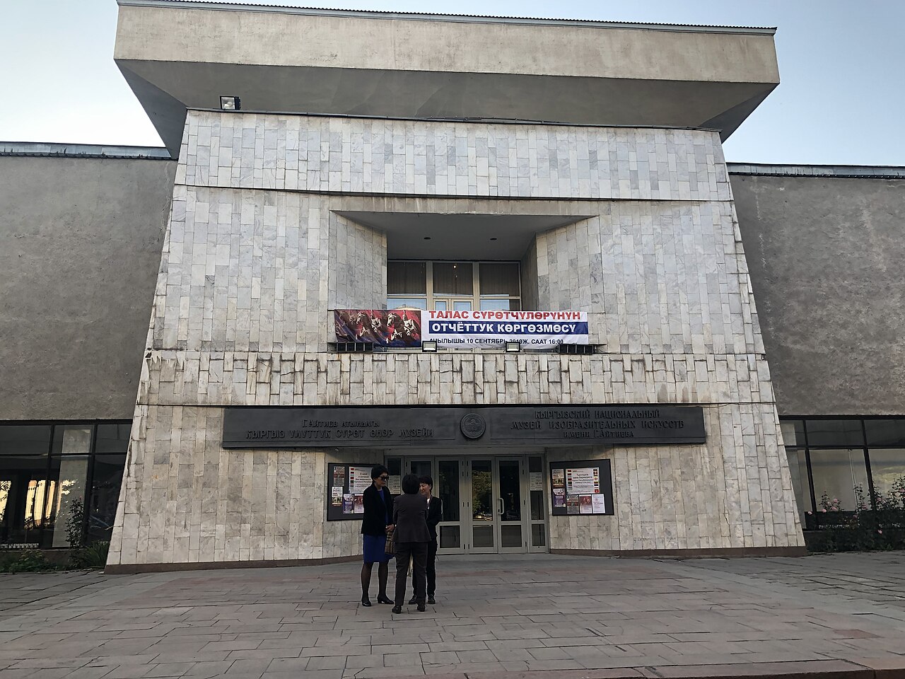
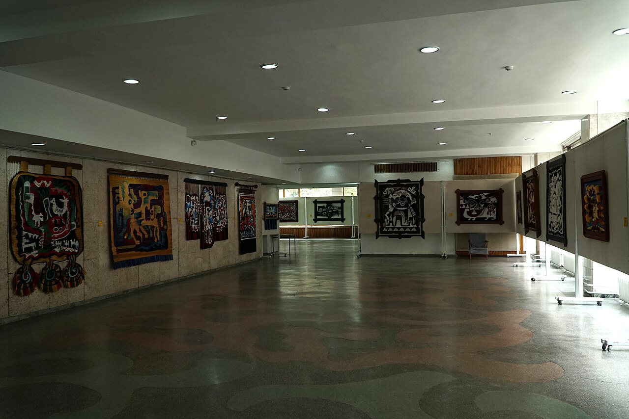
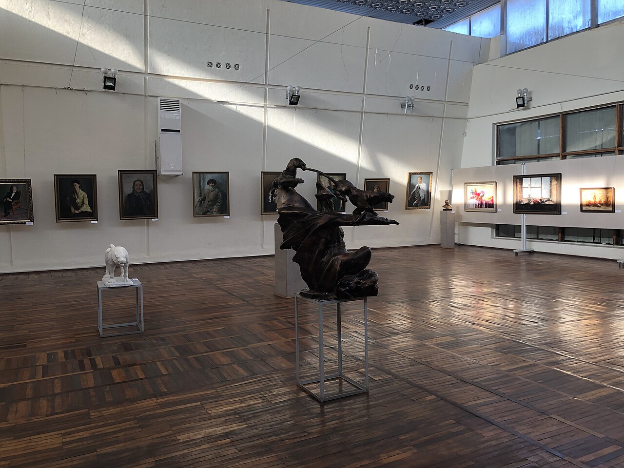
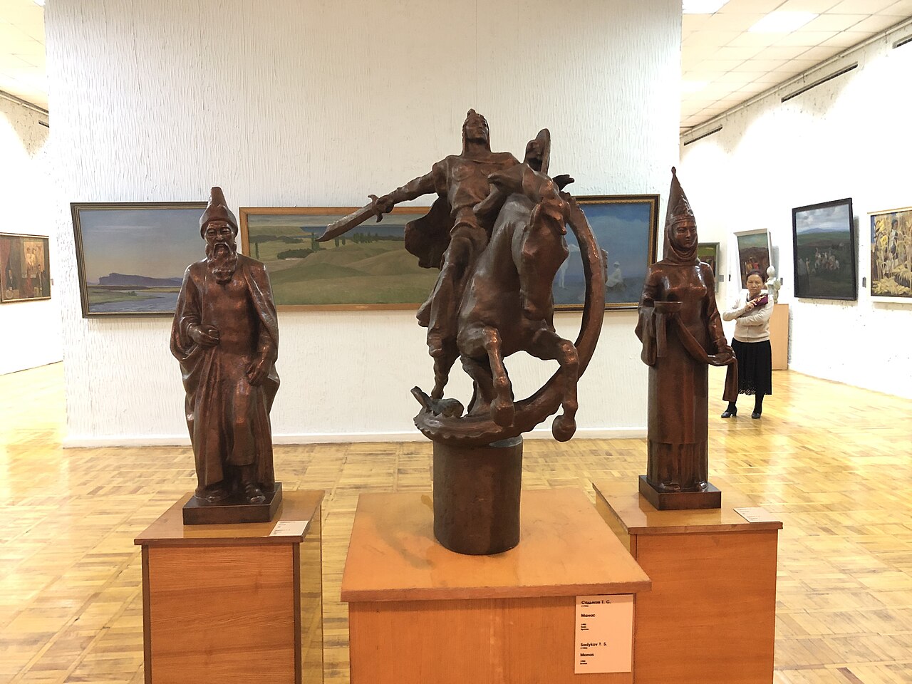
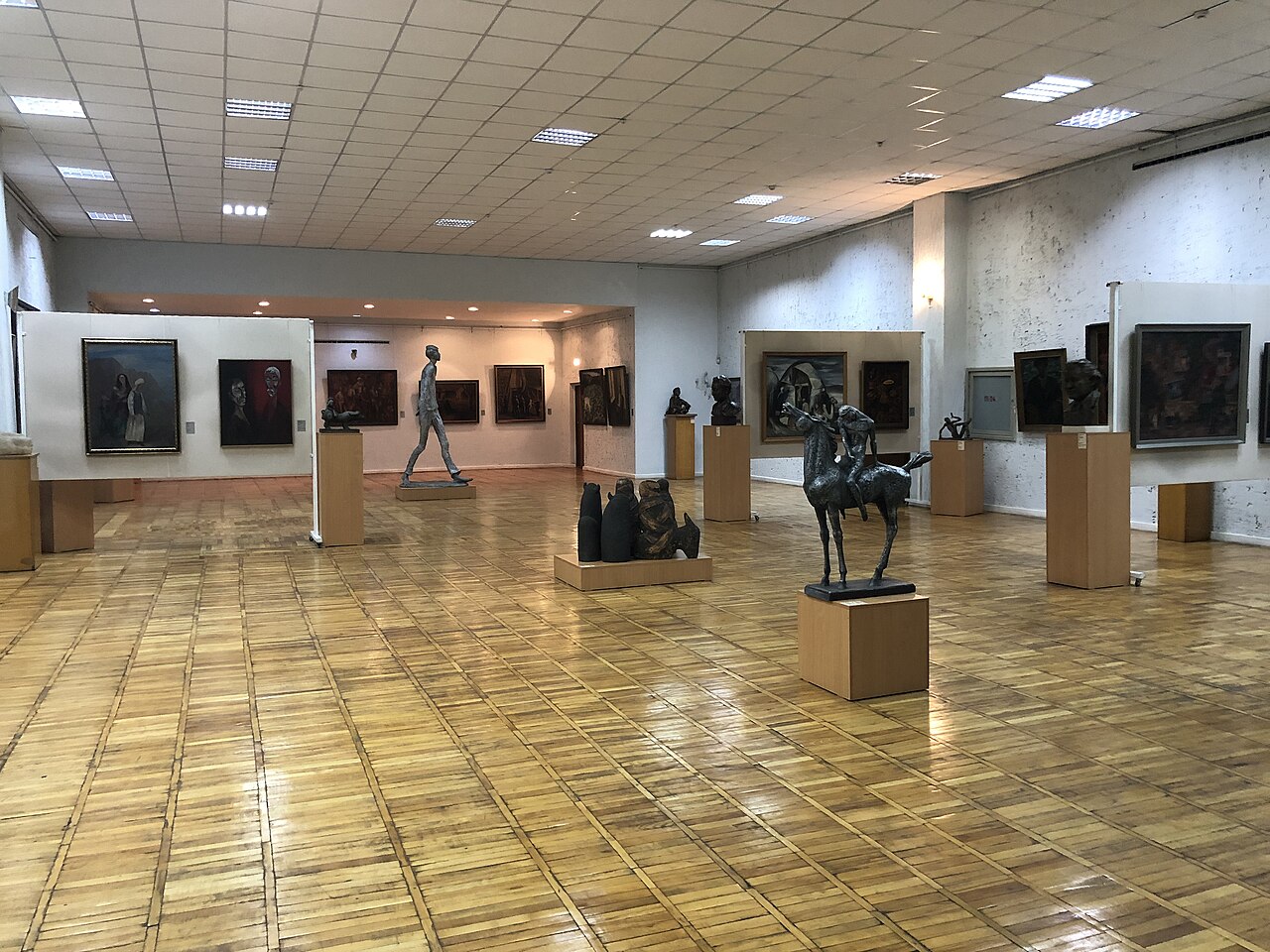
Start at the Gapar Aitiev National Museum of Fine Arts on Abdrakhmanov Street. Make this the main indoor visit: its collections connect painting and sculpture with the decorative arts of Kyrgyzstan. Select a manageable group of works and look for materials, colours and patterns that you may later recognise in villages, clothing and household objects. Current exhibitions and the rooms actually open to visitors must be checked with the museum.
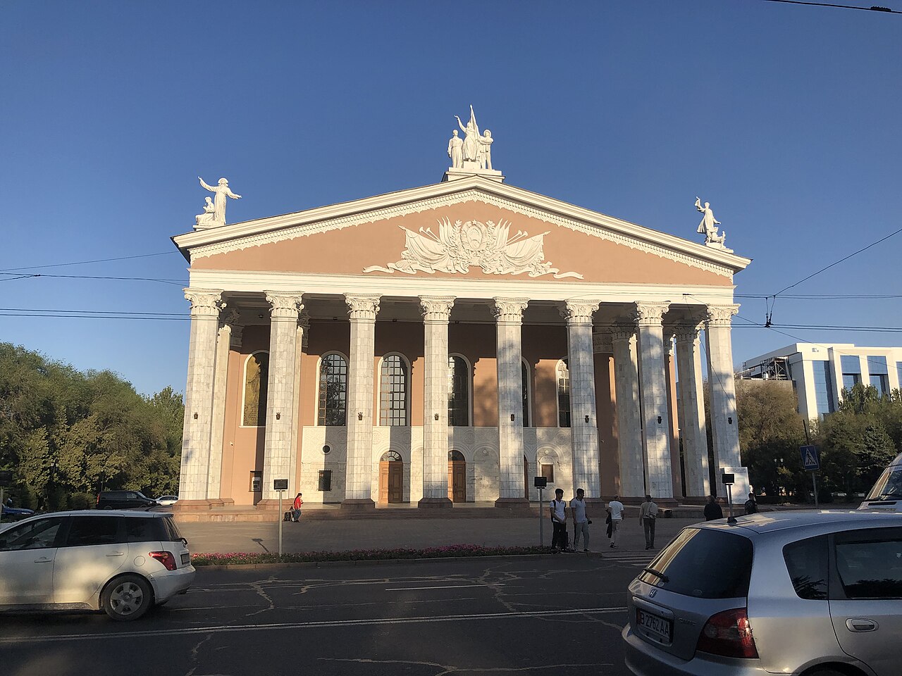
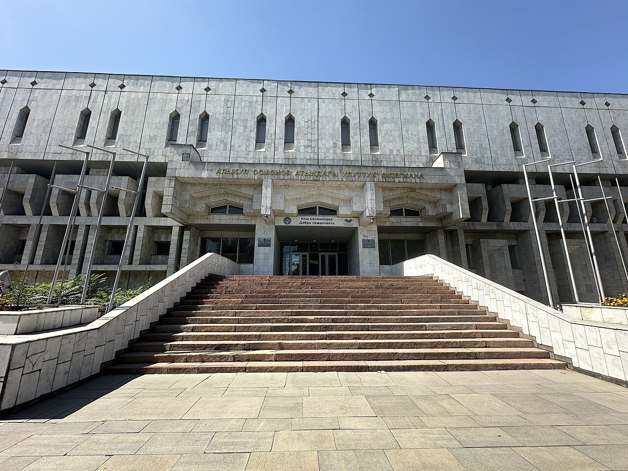
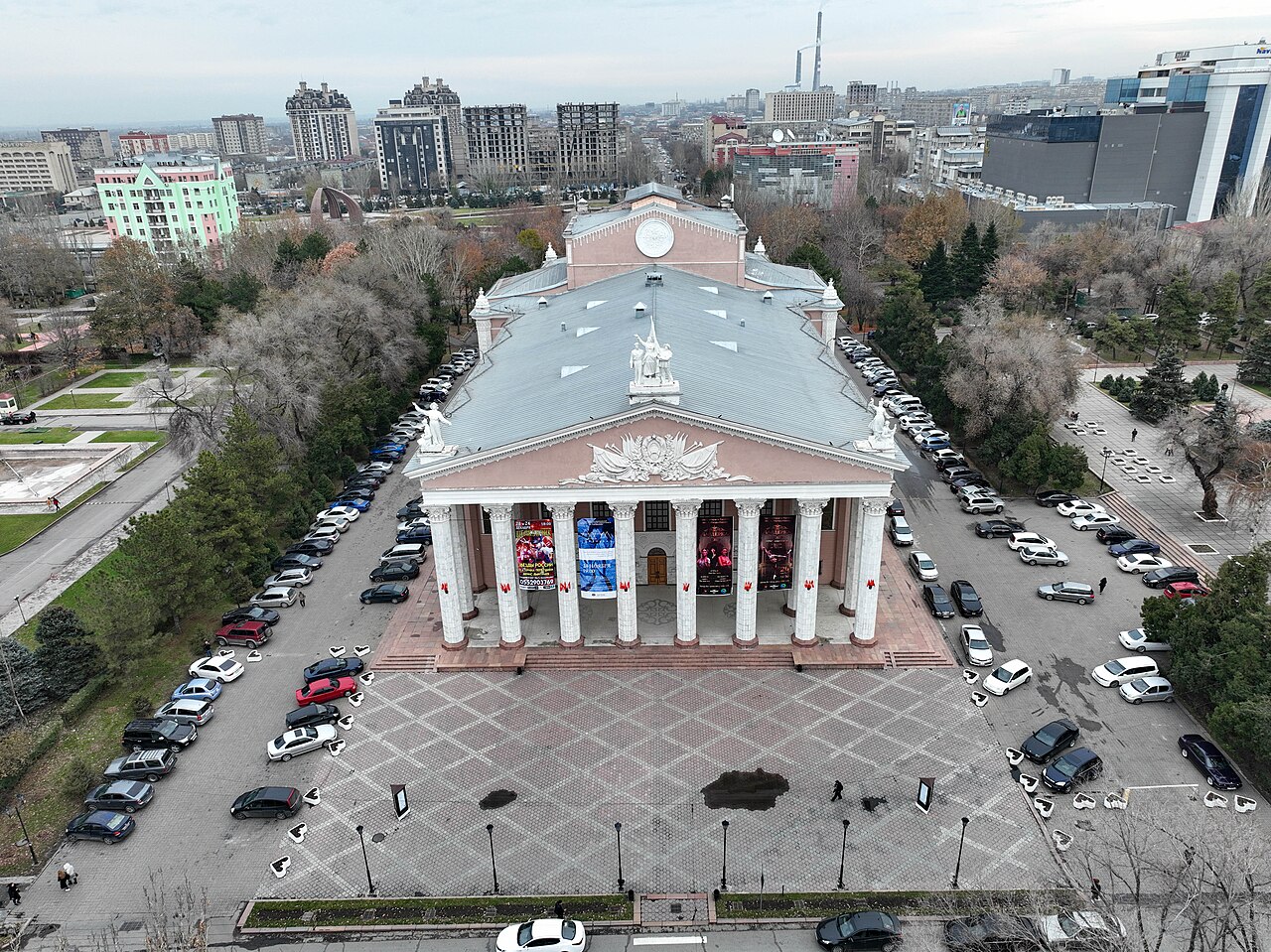
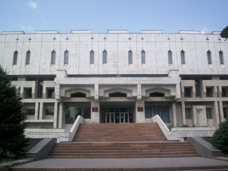
Walk to the Abdylas Maldybayev Opera and Ballet Theatre, then continue towards the Alykul Osmonov National Library and the State Circus. The route brings together four different ways a capital supports culture: collecting, performance, reading and public entertainment. The later stops are exterior architecture observations unless a public event or visitor arrangement has been independently confirmed. A theatre ticket, library admission or circus performance is not included in this walking proposal.
Planning your visit
Allow a half-day when adding the art museum, or a shorter exterior stroll if the collection is closed. Check the theatre's current programme separately if you want to return in the evening. Do not infer today's opening hours from an old event announcement. Use pavements and crossings, avoid staff entrances and ask before photographing people. For anyone who needs step-free access, contact each venue first: a public street connection does not establish that every entrance, gallery or auditorium is accessible.
Preparation and equipment
On foot; comfortable walking shoes. Arrange step-free access with each venue if needed.
Track length: 1.1 km. This distance covers the track shown on the map. Add any approach, return or transfer sections that are outside it.
Is this route for you?
Choose the route after checking the actual start, finish and terrain with a local guide. Mapped geometry alone does not establish technical difficulty. Your group should be comfortable navigating offline and changing plans when conditions deteriorate.
- With children
- Not available
- Dogs
- Check local rules
- Bicycles and pushchairs
- Not available
- Phone coverage
- Do not rely on it
What is nearby?
Bishkek
Getting there
Reach the first stop by city transport or taxi, then use public footpaths and crossings; indoor admission is separate.
Without a car
Confirm transport to the actual trailhead, not just the nearest town. Agree the return pickup point and a latest contact time before leaving mobile coverage.
By car & parking
Ask locally about road access, entry rules and a permitted place to park. Use the line only for its stated mode of travel and exact scope.
Difficult sections & safety
Traffic at crossings, heat or winter ice; venue closures and access restrictions.
How much time to allow
Confirm current opening, tickets, guides and photography rules directly. Times given here are planning estimates, not a verified timetable.
When to go
Year-round in suitable weather; verify venue access for your date.
What to bring
- Trail shoes or boots with good grip; layers, sun protection and waterproofs.
- Drinking water, food, a first-aid kit and a headlamp.
- An offline map, downloaded GPX, a charged phone and a power bank.
- An agreed return plan, local contact and a realistic fallback route.
GOOD QUESTIONS
Before you set out
Can I download GPX and KML?
Yes. The downloads above contain this route geometry for an offline navigation app. They do not confirm current conditions.
Has this route been checked recently?
KyrgyzMap has not field-verified this route. The map source and licence are shown below. Look for approved traveller reports and check conditions with local guides.
Can I go with children?
Suitability for children is not confirmed for this exact route. Check terrain, exposure, river crossings and retreat options with a guide before deciding.
How is the elevation profile calculated?
No elevation readings are available for this route. The profile and total ascent remain unfilled.
Photo gallery
A regional landscape for context; it does not identify every section of the track.
10 photos · select to enlarge
Photographs show named places on this itinerary; they do not document the exact GPX recording.
Photo credits & licences
Photo: Adam Harangozó · CC BY-SA 4.0 · Source · LicensePhoto: Davide Mauro · CC BY-SA 4.0 · Source · LicensePhoto: Incall · CC BY-SA 4.0 · Source · LicensePhoto: Davide Mauro · CC BY-SA 4.0 · Source · LicensePhoto: Nikolai Bulykin · CC BY-SA 4.0 · Source · LicensePhoto: Aelfthrytha · CC BY 3.0 · Source · LicensePhoto: Adam Harangozó · CC BY-SA 4.0 · Source · LicensePhoto: Davide Mauro · CC BY-SA 4.0 · Source · LicensePhoto: Davide Mauro · CC BY-SA 4.0 · Source · LicensePhoto: Davide Mauro · CC BY-SA 4.0 · Source · LicenseCurrent trail conditions
There are no published condition reports for this route yet.
Travelled this route or spotted an error?
Discussion
Start a conversation about the route, preparation or your experience. Comments are moderated.


Leave a comment