Skip to content
KyrgyzMapTHE WAY TO KYRGYZSTAN

KYRGYZSTAN · TRAVEL ACTIVITIES

Cycling and Bikepacking in Kyrgyzstan

Cycling and bikepacking routes through mountain valleys and high passes. Plan for road surfaces, climbing, food, water and places to stay.

Jalal-Abad

Toktogul to Torkent: a valley cycling day

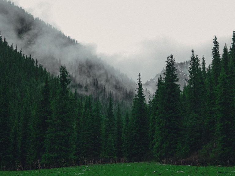
A road-oriented cycling day between Toktogul and Torkent, inspired by the local CBT bicycle outing. Arrange a village pickup or plan a separate riding return, with time for reservoir-country scenery.
21.3 kmNot assessedGPX ↗

Naryn

Naryn to the lower Salkyn-Tor roadhead

An out-and-back bicycle road approach from Naryn to the lower Salkyn-Tor entrance area. Keep the upper river trail as a separately planned walking activity.

33.0 kmNot assessedGPX ↗

Issyk-Kul

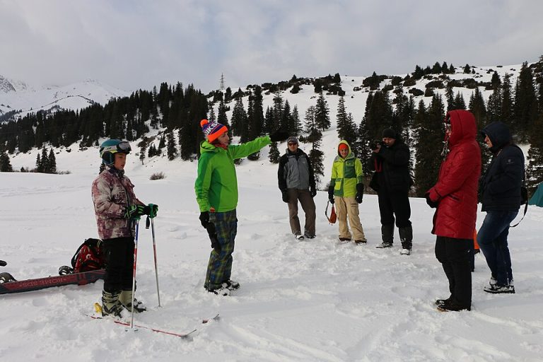
Karakol ski base: the summer road climb

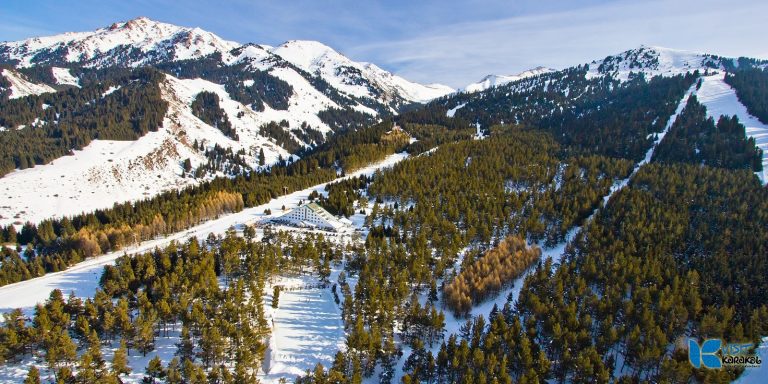
A summer road climb from Karakol toward its ski-base area, returning by the access road. This road variant is separate from the published technical MTB loop around the mountain.

26.9 kmNot assessedGPX ↗

Issyk-Kul

Ak-Sai to Tuz-Kol: the south-shore bicycle day

A supported road-oriented bicycle connection from Ak-Sai village in Ton District to the Tuz-Kol area. The published canyon MTB outing is background for the destination, not the line reproduced here.

28.5 kmNot assessedGPX ↗

Osh

Sary-Mogol to Daroot-Korgon by bicycle

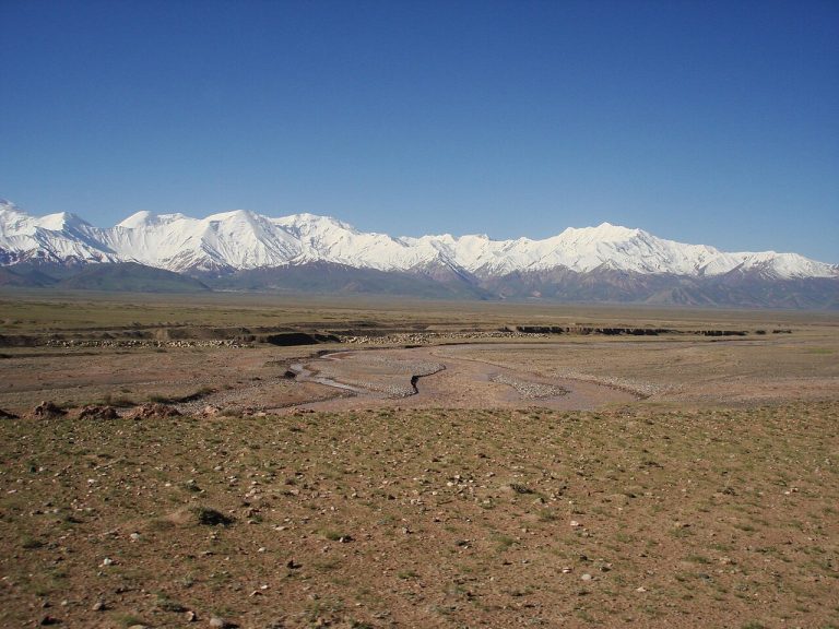
Follow the settled Alay valley west from Sary-Mogol toward Daroot-Korgon, with the Trans-Alay mountains on the skyline. The corridor is the road stage of a local cycling programme, suitable as a separate overnight journey.

61.4 kmNot assessedGPX ↗

Chuy, Issyk-Kul and Naryn

Bishkek Eastern Compass bikepacking loop

Malik Alymkulov’s published bikepacking route links Bishkek with Issyk-Kul-side valleys and Kochkor before a high crossing back to the capital. The source GPX is retained as a historical route with demanding walking sections.

548.7 kmNot assessedGPX ↗

Chuy and Naryn

Suusamyr to Kyzyl-Oi through Kozhomkul

A village-to-village ride from the open Suusamyr basin into the red-sided Kokomeren valley. The road corridor appears in local cycling programmes; this version finishes in Kyzyl-Oi and leaves the high passes for another trip.

40.1 kmNot assessedGPX ↗

Issyk-Kul

Karakol to Jyrgalan by bicycle

Reach the mountain-biking village of Jyrgalan on its public-road approach from Karakol. This is a road connection with an overnight finish, rather than an attempt to ride the high trekking passes between the valleys.

62.7 kmNot assessedGPX ↗

Chuy

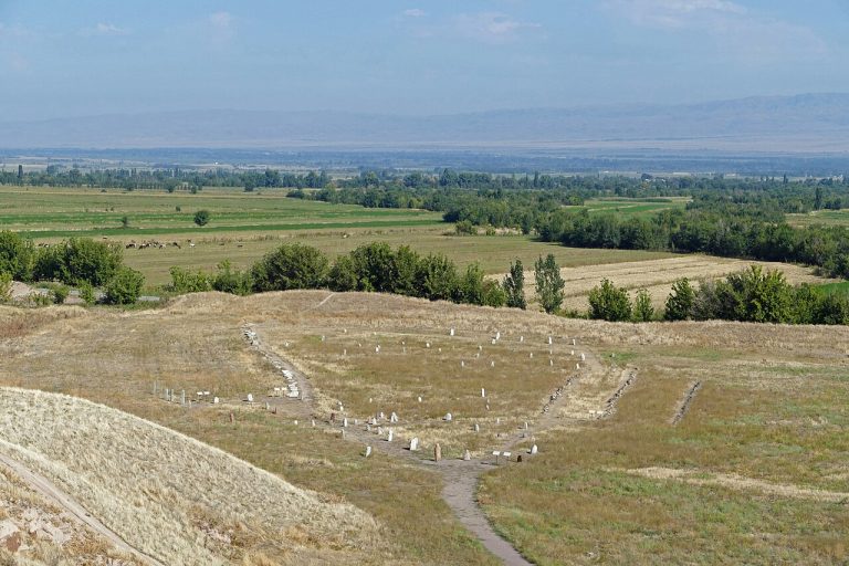
Burana to Kemin on rural roads

Combine a visit to Burana with an eastbound ride through the settled Chuy Valley. A local cycling operator uses this secondary-road corridor; the map is an editorial road variant with a finish in Kemin.

44.8 kmNot assessedGPX ↗

Chuy

Chon-Kemin village-road ride

A flexible ride between villages in the lower Chon-Kemin valley, returning to the same guesthouse. It is a low-valley road option inspired by local cycling programmes, with no crossing toward Issyk-Kul.

3.5 kmNot assessedGPX ↗

Issyk-Kul

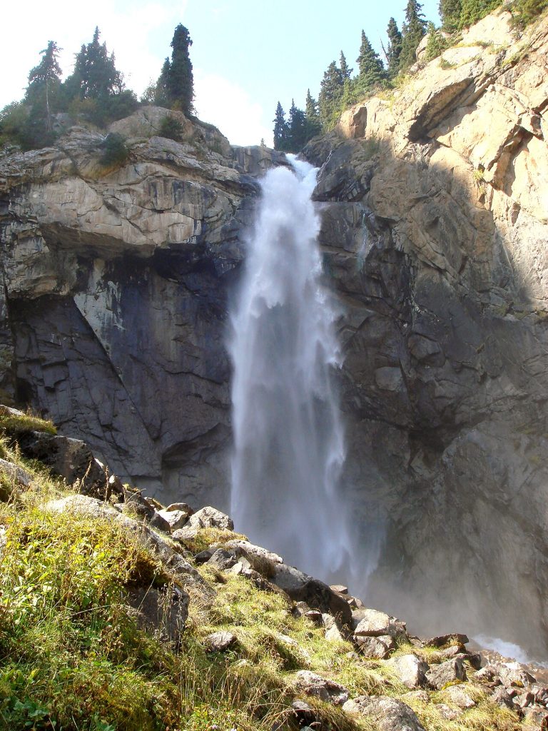
Barskoon village to the waterfall roadhead

Climb from Barskoon village into the gorge and leave the bicycle at a suitable roadhead for the waterfall walk. This out-and-back stops in the lower gorge and does not continue to the Arabel plateau or mine roads.

36.2 kmNot assessedGPX ↗

Talas

Talas to the lower Besh-Tash valley

A valley-road ride from Talas toward the lower entrance of Besh-Tash, with the option to turn back early. The high lake and the pass toward Toktogul are separate undertakings and are excluded from this outing.

31.3 kmNot assessedGPX ↗

Issyk-Kul Region

Issyk-Kul cycling circuit

A complete cycling circuit from Balykchy through Cholpon-Ata, Karakol and the southern shore. Plan several days for riding, lakeside stops and village stays, with additional time for detours.

463.5 kmNot assessedGPX ↗

Kyrgyzstan

Tian Shan Traverse by bicycle

A bikepacking journey from eastern Kyrgyzstan towards Bishkek, through interior valleys and mountain passes.

984.2 kmNot assessedGPX ↗

Kyrgyzstan

The Celestial Divide by bicycle

A north-to-south bikepacking route from Bishkek through Kyrgyzstan’s interior to the Alay Valley and Sary-Tash.

1,065.4 kmNot assessedGPX ↗

Plan this trip